Overview
|
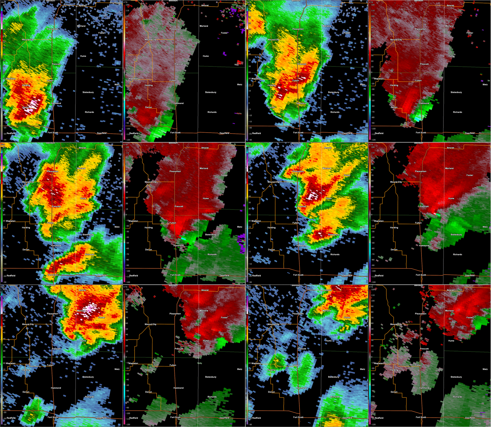
An early round of thunderstorms moved through western and Central Missouri during the morning hours on April 27. These early storms produced pockets of wind damage and large hail. This early round of thunderstorms also produced a brief embedded tornado near Odessa, Missouri. After a few hours passed the atmosphere destablized in advance of a second round of thunderstorms that formed in eastern Kansas later in the afternoon. One of these storms intensified into a supercell as it encountered an outflow boundary moving westward from the morning convection. The storm produced a tornado near Fort Scott, Kansas. This tornado traveled northward toward Pleasanton, causing damage to several structures and widespread destruction to trees. An old church that was built in the 1880s was destroyed by the tornado. The EF-2 tornado eventually dissipated near Pleasanton, 26 minutes after it originally formed. |
 The storm produced a tornado as it approached Fort Scott, Kansas. This tornado matured as it crossed the county line near Prescott, and became its strongest just south of Pleasanton. It eventually dissipated near Pleasanton. |
|
Bourbon and Linn County Tornado
|
||||||||||||||||
|
||||||||||||||||
The Enhanced Fujita (EF) Scale classifies tornadoes into the following categories:
| EF0 Weak 65-85 mph |
EF1 Moderate 86-110 mph |
EF2 Significant 111-135 mph |
EF3 Severe 136-165 mph |
EF4 Extreme 166-200 mph |
EF5 Catastrophic 200+ mph |
 |
|||||
 |
Media use of NWS Web News Stories is encouraged! Please acknowledge the NWS as the source of any news information accessed from this site. |
 |