Boise, ID
Weather Forecast Office
Regional Web Cameras
National Weather Service Boise Rooftop
Temporarily offline
Caldwell Industrial Airport
|
|
|
|
| Looking NW (Courtesy of the City of Caldwell) | Looking E (Courtesy of the City of Caldwell) |
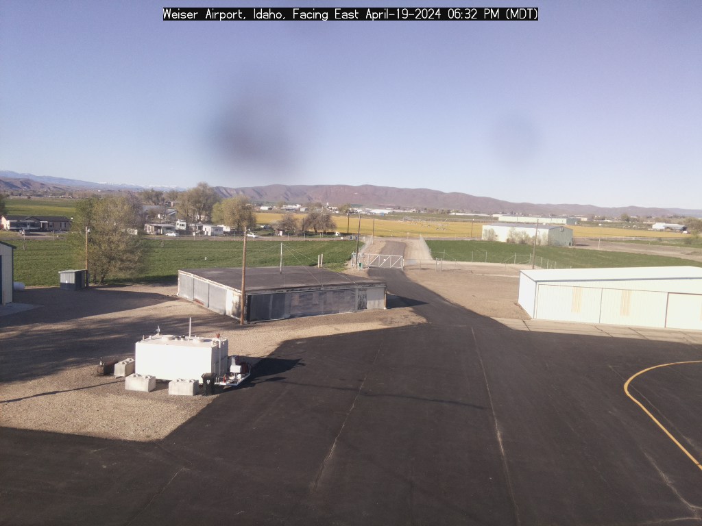
Weiser Airport
|
|
|
|
| Looking E (Courtesy of the City of Weiser) | Looking SW (Courtesy of the City of Weiser) |
|
|
|
Looking East |
|
|
|
Looking Northwest (Courtesy of the City of McCall) |
|
|
|
|
| Looking North (Courtesy of Eye-n-Sky LLC) | Looking South (Courtesy of Eye-n-Sky LLC) |
|
|
|
|
| Looking Southwest (Courtesy of Reeders) | Looking Southeast |
Baker City Airport
|
|
Burns Airport
|
Temporarily offline |
US Dept of Commerce
National Oceanic and Atmospheric Administration
National Weather Service
Boise, ID
National Interagency Fire Center
3833 S. Development Ave., Bldg 3807
Boise, ID 83705-5354
(208) 334-9860
Comments? Questions? Please Contact Us.