National Weather Service United States Department of Commerce

November 23-24, 2004...Severe Weather Outbreak


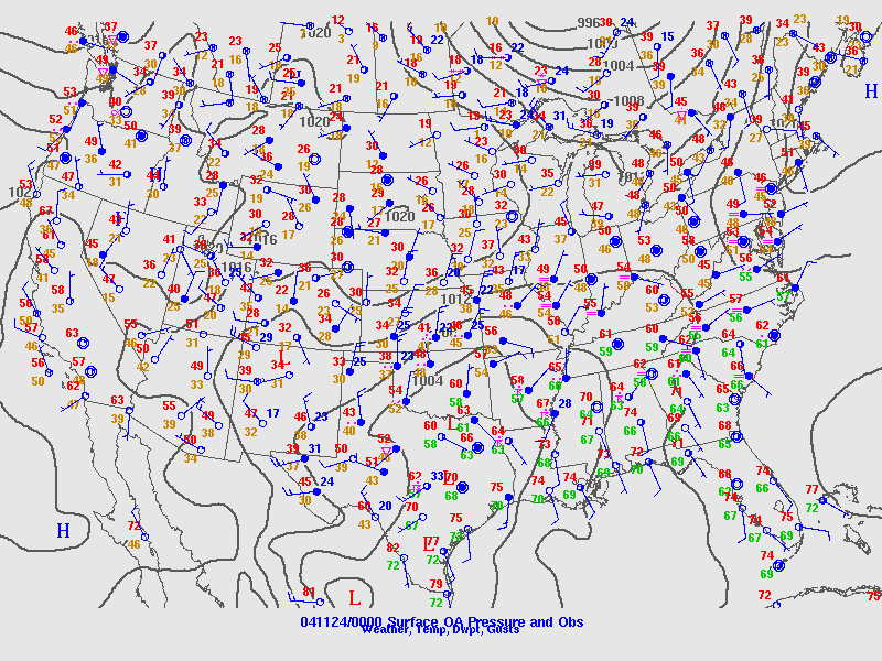
An intense storm system used an unusually warm and moist air mass as fuel, and brought severe thunderstorms, tornadoes, and flash flooding to a large portion of Alabama.

The event started in northern Alabama during the afternoon and evening hours on Tuesday, November 23. However, the most destructive weather occurred during the early morning hours Wednesday, November 24.

National Weather Service Storm assessment teams determined that a total of 16 tornadoes touched down duing the event, with additional scattered wind damage around the state. High winds not directly associated with the thunderstorms also caused damage in Randolph County.

Event location names below link to individual storm surveys:


Location
County
Event
Rating
Autauga
Tornado
F2
Jefferson
Tornado
F0
Tallapoosa/Clay
Tornado
F1
Marengo/Dallas
Tornado
F0
Talladega
Tornado
F1
Autauga/Chilton/Coosa
Tornado
F2
Lamar
Tornado
F1
Talladega/Calhoun
Tornado
F2
Tallapoosa
Tornado
F0
St. Clair / Talladega
Tornado
F0
Millbrook
Elmore
Tornado
F0
Montgomery
Montgomery
Wind Damage
--
Lee
Tornado
F0
Rock Mills
Randolph
Non-Thunderstorm Wind
--
Sardis
Dallas
Tornado
F0
Shilo
Marengo
Tornado
F2
Dallas
Tornado
F1
Winterboro
Talladega
Tornado
F1
 

Severe Weather Episode Data 

Surface analysis Nov 23 6 pm
Surface Analysis
Nov 23 6 pm
Surface Analysis Nov 24 6 am
Surface Analysis
  Nov 24 6 am
500 mb Analysis Nov 23 6 pm
  500 mb Analysis
Nov 23 6 pm
500 mb Analysis Nov 24 6 am
  500 mb Analysis
Nov 24 6 am
Day 2 Outlook
Day 2 Severe Weather Outlook
Issued Nov 23 at 1130 am
Day 1 Outlook
Day 1 Severe Weather Outlook
Issued Nov 24 at 7 am
Storm Reports
Storm Reports 11/23/04
Storm Reports
Storm Reports 11/24/04
00z sounding from BMX
6 pm Upper Air Sounding from BMX on Nov 23
Courtesy of University of Wyoming
12z Sounding from BMX
6 am Upper Air Sounding from BMX on Nov 24
Courtesy of University of Wyoming