NWS Birmingham, Alabama
Weather Forecast Office
Detroit Tornado
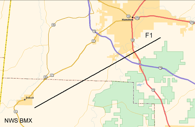
National Weather Service Meteorologists surveyed the damage across northern Lamar and southern Marion Counties. The damage was the result of one tornado that has been rated an F1.
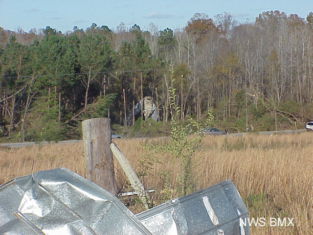
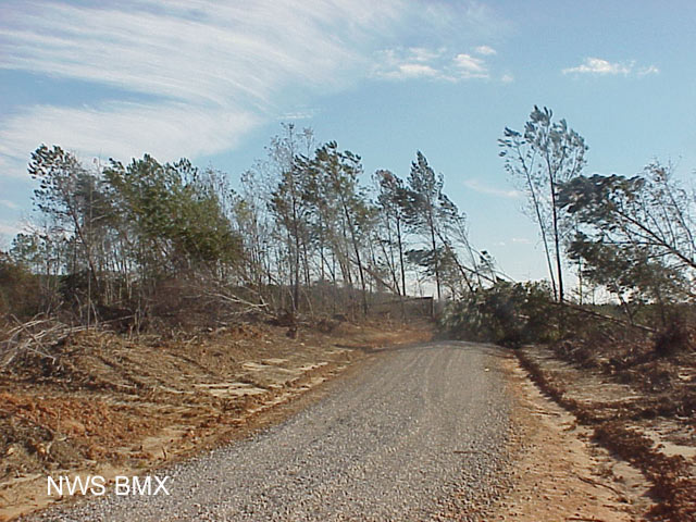
The tornado touched down approximately 1.2 miles southeast of Detroit, just east of US 17 in northern Lamar County. The tornado moved northeast crossing County Road 16 and Dinky Line Road. The tornado continued northeast and moved into Marion County. The tornado crossed CR 10, CR 35, US 78 and CR 42. The most extensive damage occurred in Lamar County close to the tornado touch down point while Marion County damage was mainly limited to tree damage. Several manufactured homes suffered varying degrees of damage, numerous out-buildings were damaged or destroyed, three large grain silos were damaged and several homes were damaged. A few homes were left standing but were uninhabitable. One of the grain silos was deposited over 200 yards from were it was anchored. Hundreds of trees and power lines were snapped off or knocked down along the path.
The total tornado damage path was 13.9 miles and was 250 yards wide at its widest point. The tornado was on the ground from 938 pm CST until 1002 pm CST.
 |
 |
| This grain silo was tossed some 200 yards. | Damage to the back of a house in Lamar County. |
 |
 |
| More grain silos damaged. | Tree damage in Lamar County. |
 |
 |
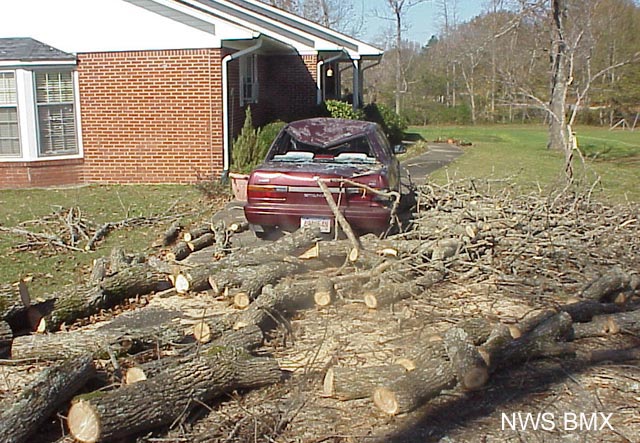
| Damaged vehicle in Marion County. | Numerous trees down in Marion County. |
 |
|
| Map of the damage path of the Detroit Tornado. |
Current Hazards
National Outlooks
Tropical
Local Storm Reports
Public Information Statement
Graphical Hazardous Weather Outlook
Current Conditions
Regional Weather Roundup
Rivers and Lakes
Drought Monitor
Forecasts
Fire Weather
Aviation Weather
Graphical Forecasts
Forecast Discussion
Air Quality
Climate and Past Weather
Past Events
Storm Data
Tornado Database
Daily Rainfall Plots
Tropical Cyclone Reports
Monthly Climate
Annual Climate
Warnings and Other Products
Tornado Warnings
Severe Thunderstorm Warnings
Flash Flood Warnings
Winter Weather Warnings
Special Weather Statements
Non-Precipitation Warnings
Flood/River Flood Warnings
Productos en Español
Conciencia y Preparación
Previsión de 7 Días
Weather Safety
NOAA Weather Radio
Severe Weather Preparedness
Severe Safety Rules
Tornado Safety Rules
Severe Safety w/ ASL
Awareness Weeks
Severe Weather
Hurricane Preparedness
Summer Safety Campaign
Winter Weather
US Dept of Commerce
National Oceanic and Atmospheric Administration
National Weather Service
NWS Birmingham, Alabama
465 Weathervane Road
Calera, AL 35040
205-664-3010
Comments? Questions? Please Contact Us.

