Last Map Update: Thu, Mar 13, 2025 at 12:54:38 pm CDT

|
||||||||||||||||||||||||||||||||||||||||||||||||||||||||||||||||||||||||||||||||||||||||||||||||||||||||||||||||||||||||||||||||||||||||||||||||||||||||||||||||||||||||||||||||
|
Text Product Selector (Selected product opens in current window)
|
|
 |
 |
 |
 |
 |
 |
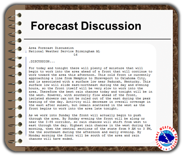
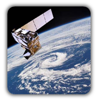
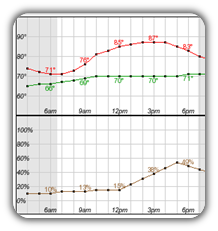
| Rainfall Plots | Observations | Discussion | Satellite | Climate | Storm Reports |
 |
 |
 |
 |
 |
 |
| Hourly Forecast | Gridded Forecast | Fire Weather | Hydrology | Aviation | Air Quality |
 |
 |
 |
 |
 |
 |
| Tropical | Winter | SKYWARN | GIS | Past Events | Tornado Database |
 |
 |
 |
 |
 |
 |
| Social Media | Videos with ASL | Previsión de 7 Días | Conciencia y Preparación | Recreational Forecast | Wx Radio |


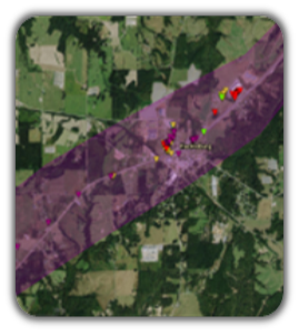
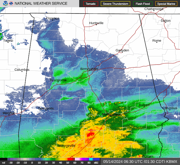 Local Radar
 Weather Map
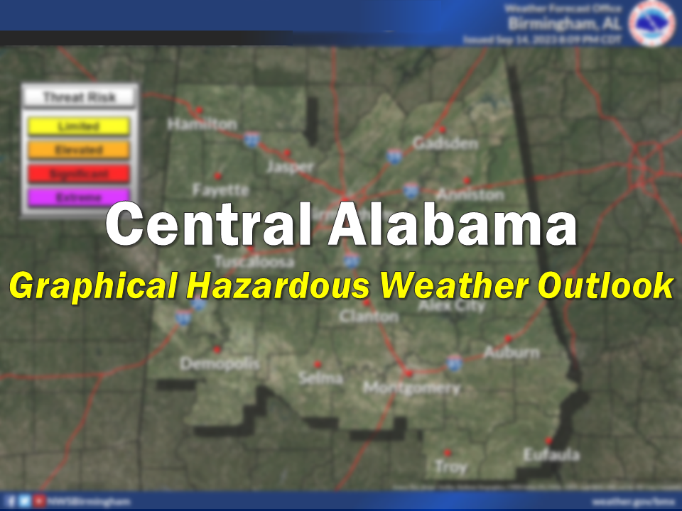 Graphical HWO