 |
 |
 |
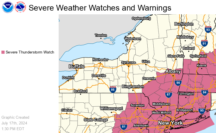
| Severe Thunderstorm/Tornado Watch |
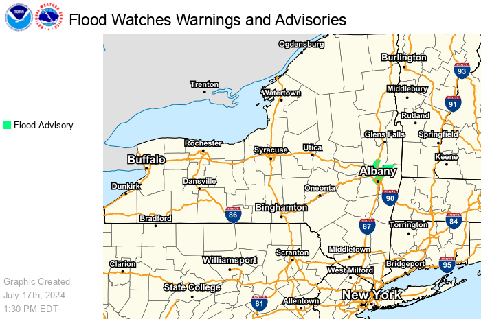
Flood Watch-Warning-Advisory |
Winter Watch-Warning-Advisory |
 |
 |
 |
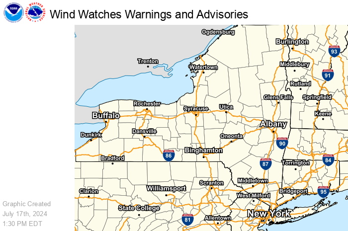
| Wind Watch-Warning-Advisory |
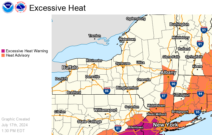
Excessive Heat |
Extreme Cold |
 |
 |
 |
| Tropical Watch-Warning |
Dense Fog Advisory |
Freeze Watch-Warning Frost Advisory |
 |
 |
|
| Fire Weather Watch Red Flag Warning |
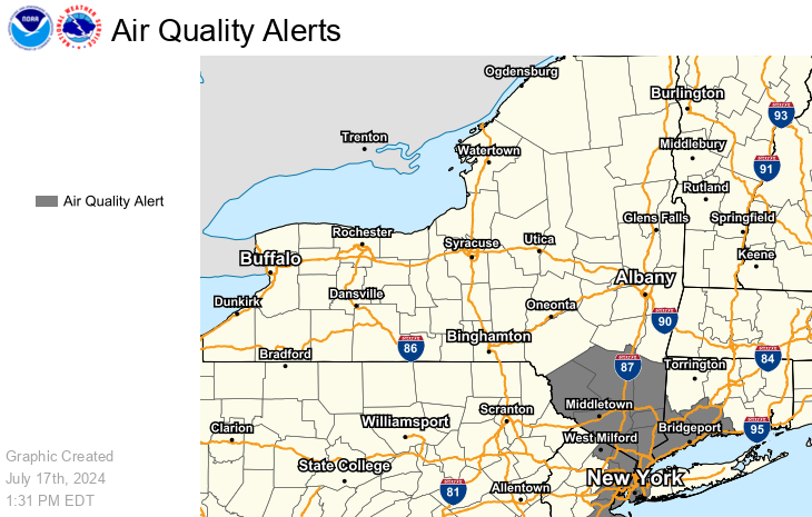
Air Quality Alerts |
Maps are updated twice an hour
|
|
|
|
|
| Northeast Radar Loop | National Radar Loop | National Water Prediction Service (Users Guide) | Surface Map & Forecast Maps |
Other Radar: Northeast
GOES Image Viewer: GOES-East Northeast Sector
Satellite-derived Lightning: Day Time & Night Time
Reports: Public Information Statement --- Local Storm Reports --- mPING Spotter Reports
Past Precipitation Analysis & Locally created Precipitation & Snowfall Maps
Northeast Regional Climate Center: State & Regional Analyses of Precipitation and Snowfall
Snowpack Information: Snow Depth --- Snow Water Equivalent --- Estimated Snow Melt Past 24 hours
Mountain Top Forecasts (Search and Rescue): Eastern NY and adjacent Western New England
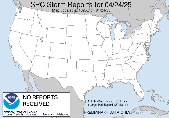
| Risk Categories | Severe Weather Discussion | Today's Storm Reports |
|
|
 |
 |
|
|
 |
 |
 |
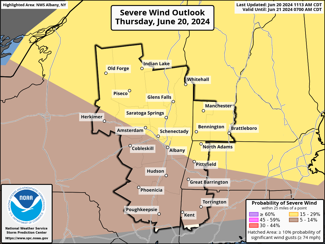
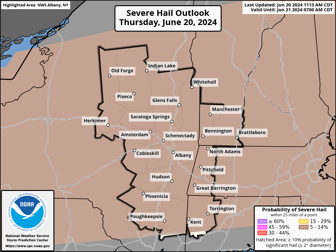
| Day 1 Severe Weather Outlook | Day 1 Wind Threat Outlook | Day 1 Hail Threat Outlook | Day 1 Tornado Threat Outlook |
|
|
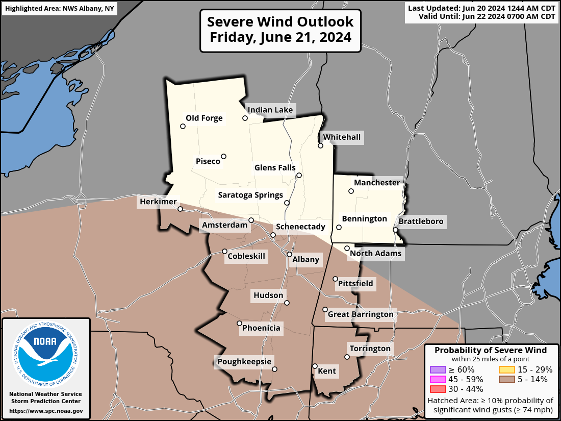 |
 |
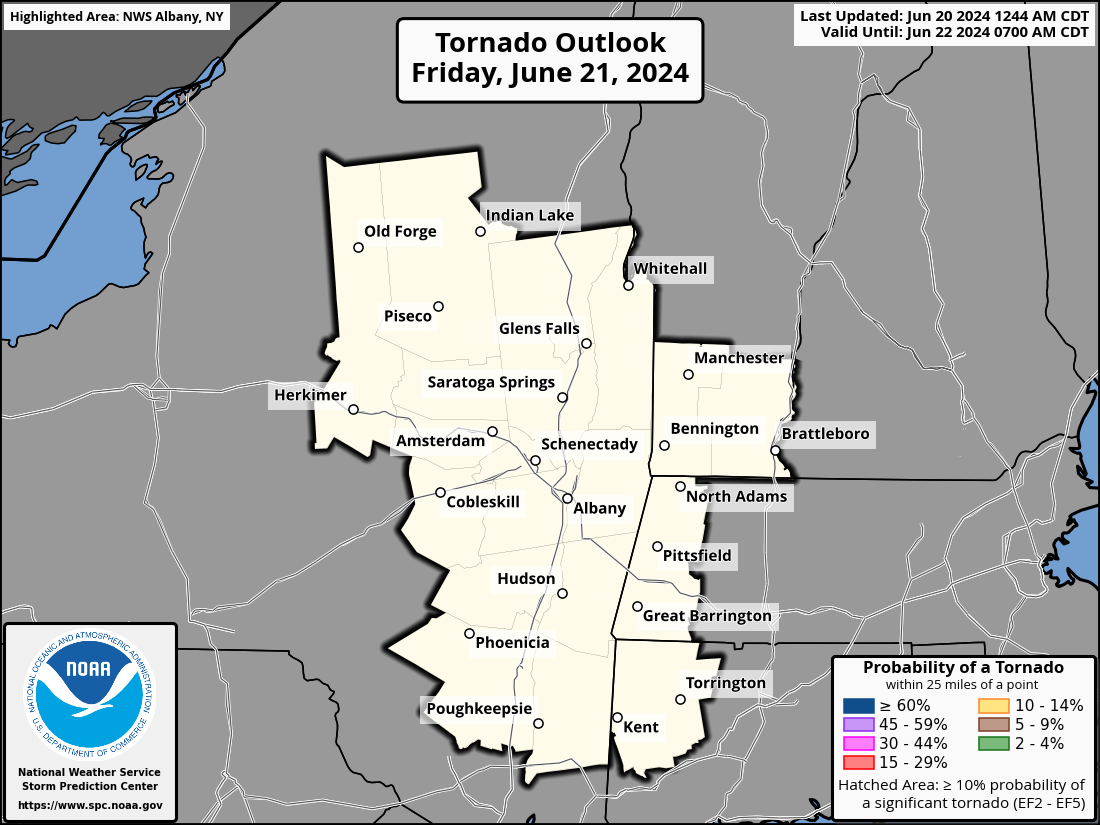 |
| Day 2 Severe Weather Outlook | Day 2 Wind Threat Outlook | Day 2 Hail Threat Outlook | Day 2 Tornado Threat Outlook |
|
|
 |
||
| Day 3 Severe Weather Outlook | Day 3 Probabilistic Outlook |
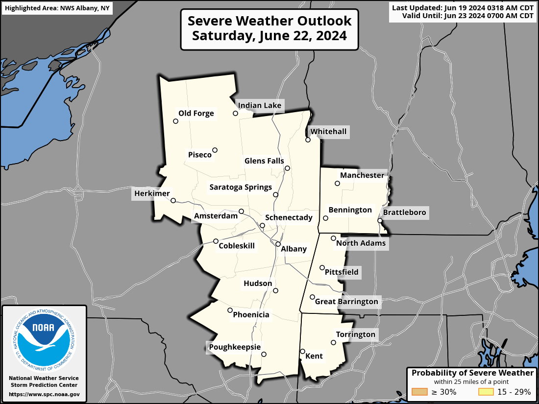 |
 |
 |
 |
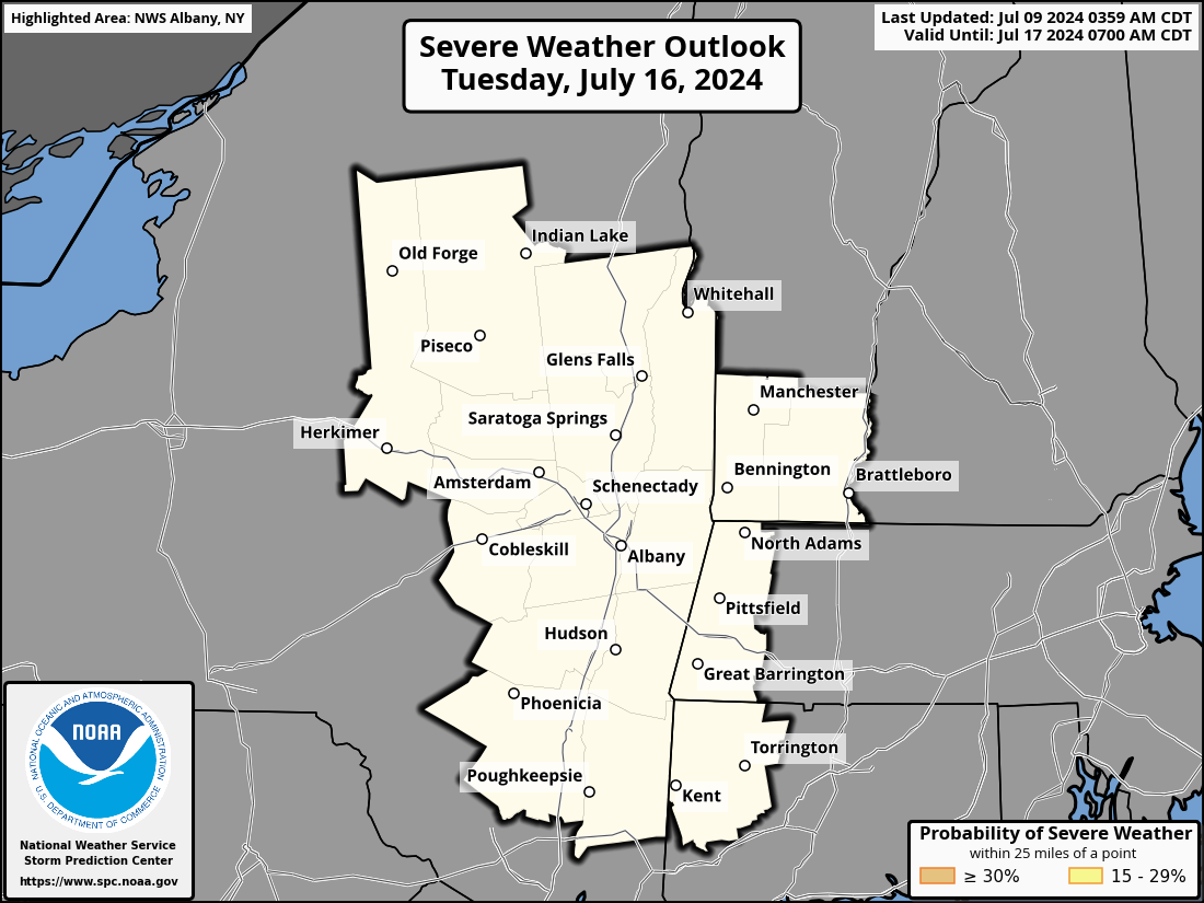 |
| Day 4 Severe Outlook | Day 5 Severe Outlook | Day 6 Severe Outlook | Day 7 Severe Outlook | Day 8 Severe Outlook |
| Day 4-8 Severe Weather Outlook Discussion |
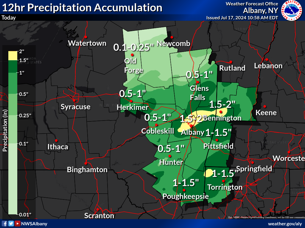
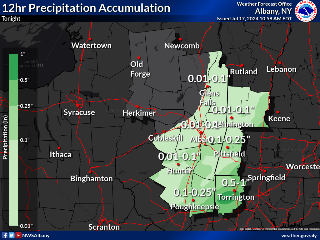
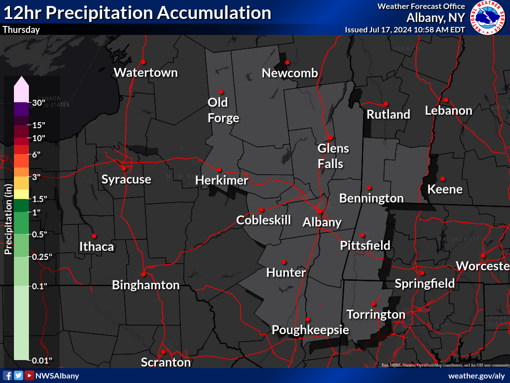
Precipitation Forecasts - New York State
 |
 |
 |
 |
| Today | Tonight | Tomorrow | Tomorrow Night |
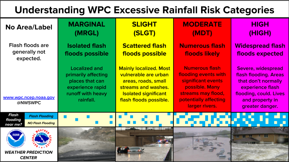
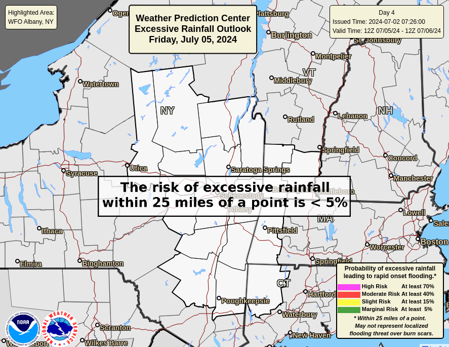
Excessive Rainfall Outlooks - Weather Prediction Center
 |
 |
 |
| Risk Categories | Day 1 Outlook | Day 2 Outlook |
 |
 |
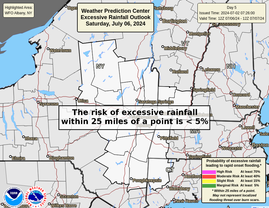 |
| Day 3 Outlook | Day 4 Outlook | Day 5 Outlook |
Understanding Excessive Rainfall Outlooks
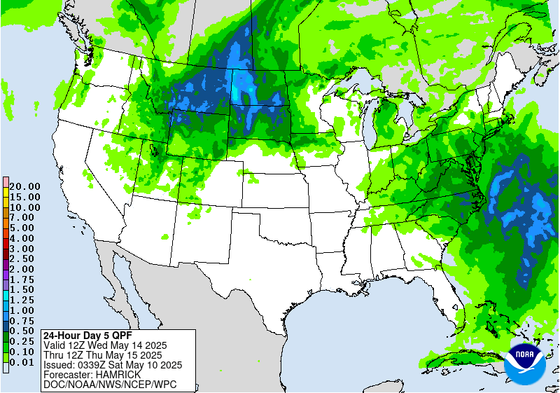
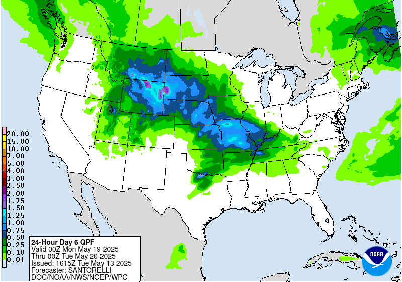
Precipitation Forecasts - Weather Prediction Center
 |
 |
 |
 |
| Heavy Rainfall Discussions | 24-Hour Day 1 | 24-Hour Day 2 | 24-Hour Day 3 |
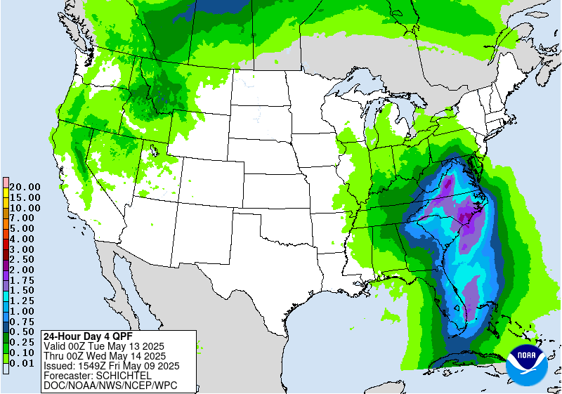
Probabilistic Precipitation Guidance - Days 1-3
 |
 |
 |
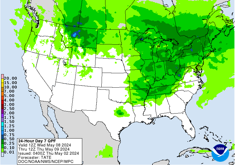 |
| 24-Hour Day 4 | 24-Hour Day 5 | 24-Hour Day 6 | 24-Hour Day 7 |
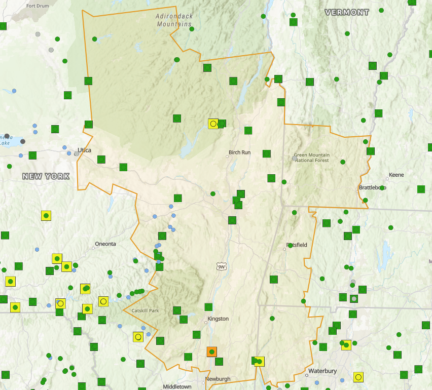
River Forecasts and Outlooks
 |
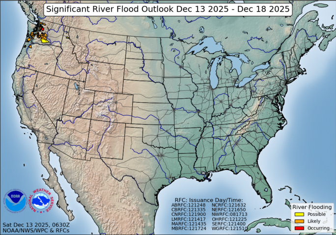 |
| National Water Prediction Service (Users Guide) | Significant River Flood Outlook |
Meteorological Model Ensemble River Forecasts
Map Graphics & Tables of Probability of Specific Stage Exceeded
Snowfall Forecast & Probabilistic Graphics / Ice Accumulation Forecast
 |
|||
| Expected Snowfall Official Forecast |
High End Snowfall Amount 1 in 10 chance of higher snowfall |
Low End Snowfall Amount 9 in 10 chance of higher snowfall |
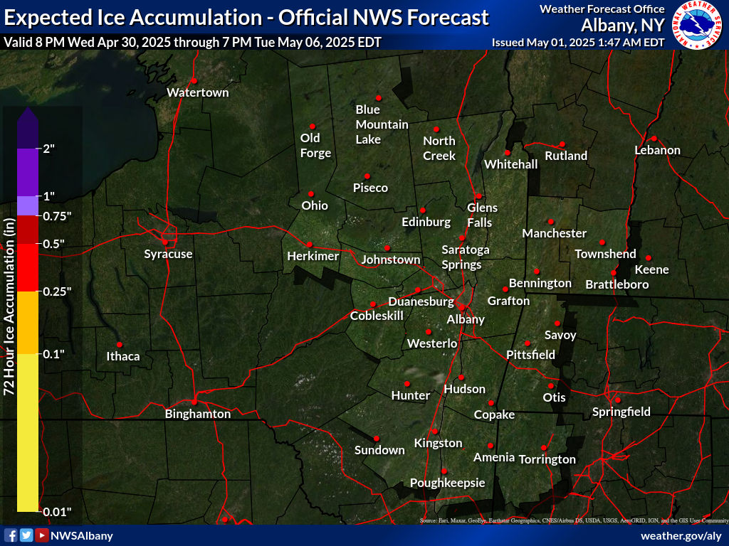
Expected Ice Accumulation Official Forecast Radial Ice vs. Flat Ice Explanation |
|
Winter Storm Severity Index - WSSI |
Experimental Winter Storm Outlook: Days 1-4 |
Day 1, Day 2 & Day 3 Snow Extremes by County
National Integrated Drought Information System (NIDIS) - Drought.gov: NY --- CT --- MA --- VT
Current Conditions - Outlooks & Forecasts - Historical Conditions - Drought Resources
 |
 |
 |
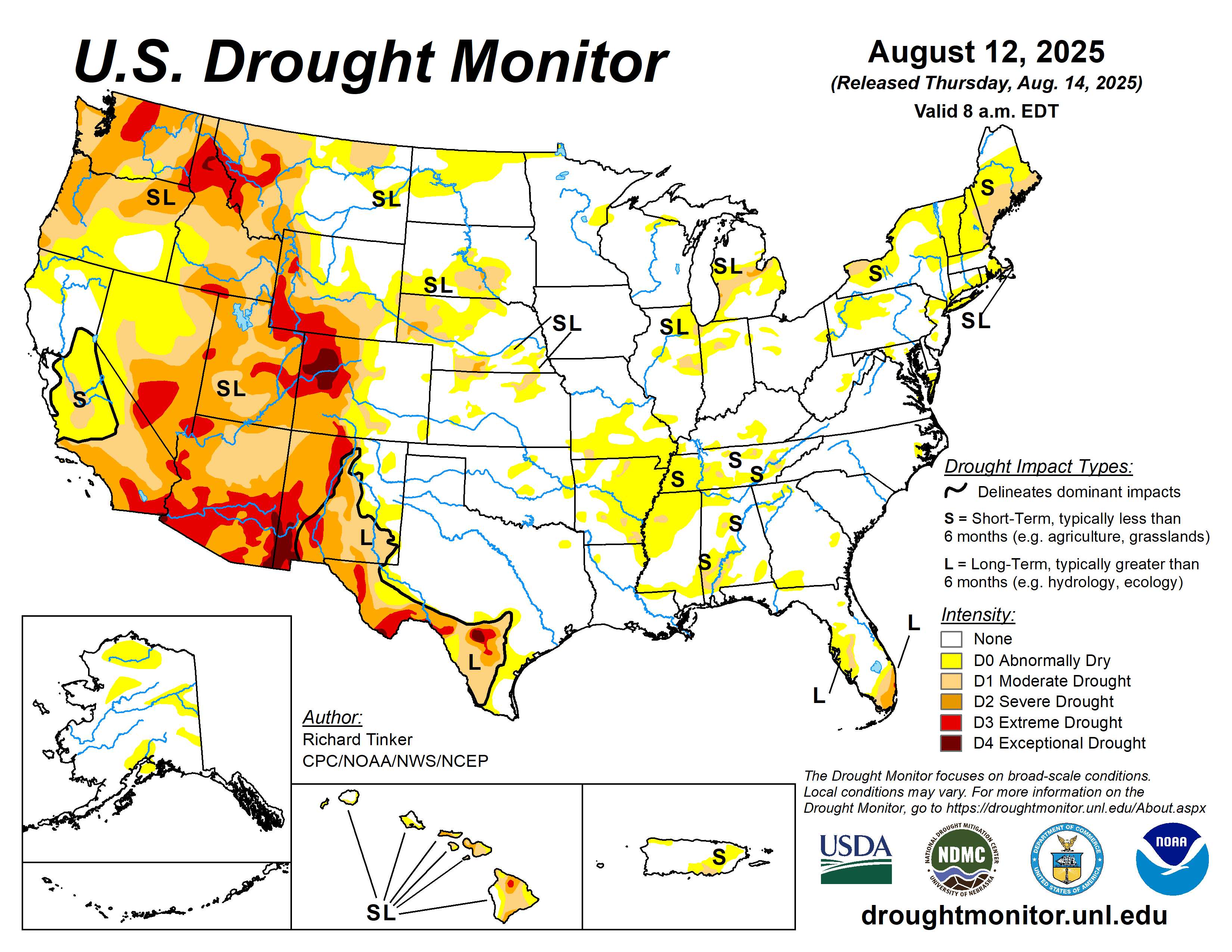
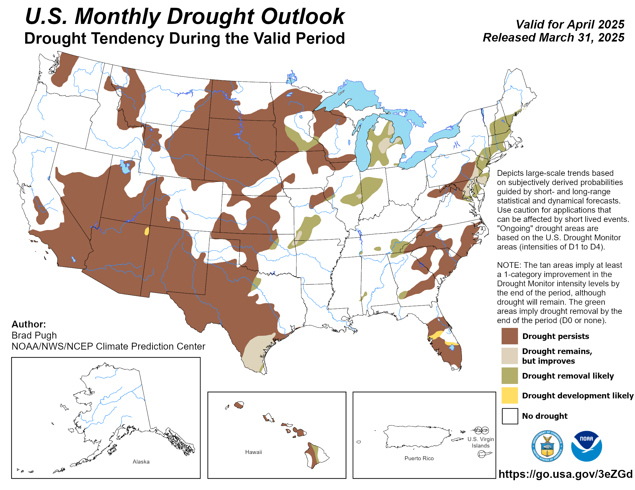
| Current Drought Conditions | Drought Class Change | Northeast DEWS Dashboard |
 |
 |
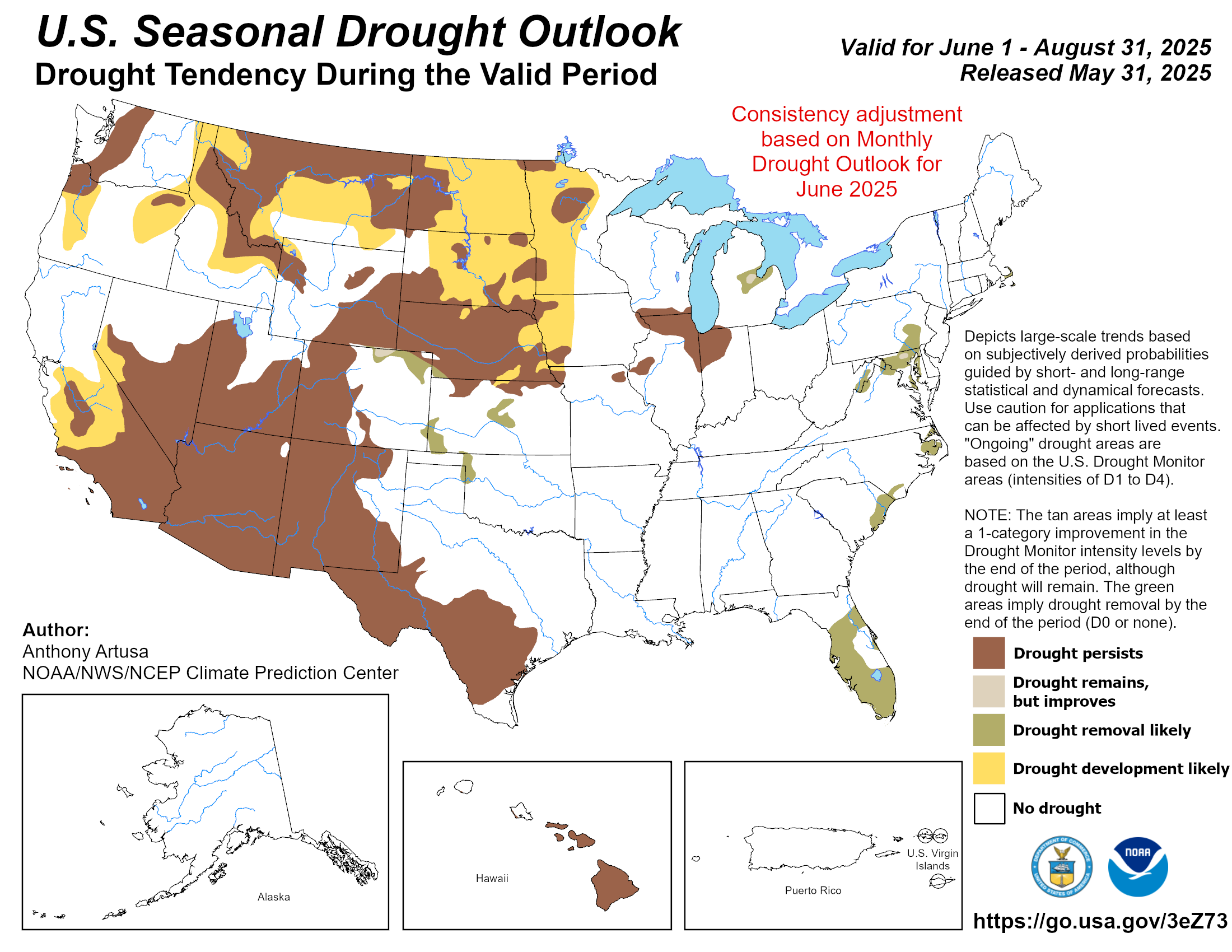 |
| U.S. Drought Monitor | Monthly Drought Outlook | Seasonal Drought Outlook |
What is the U.S. Drought Monitor? What is Drought?
National Weather ServiceSpot Forecast Request Page |
|
For more detailedfire weatherinformation visit:NWS AlbanyFire Weather Page |
 |
 |
 |
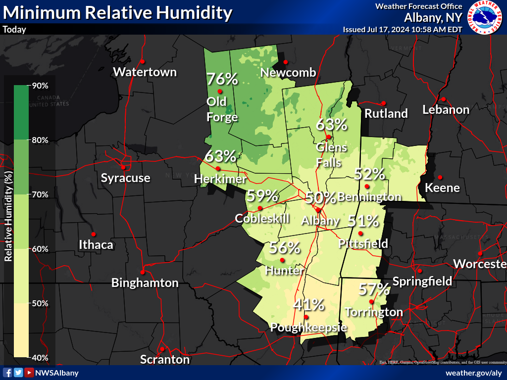
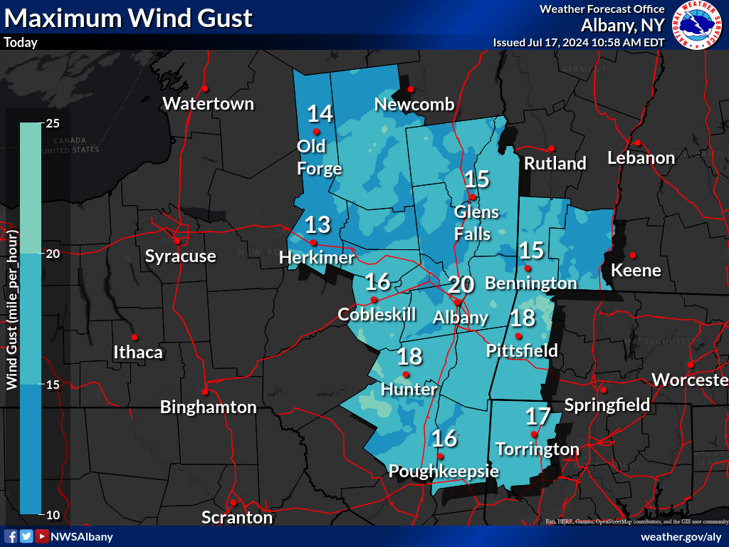
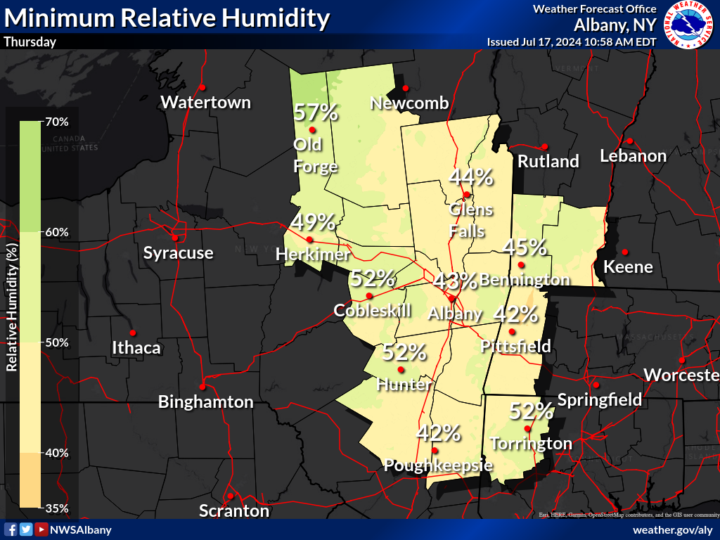
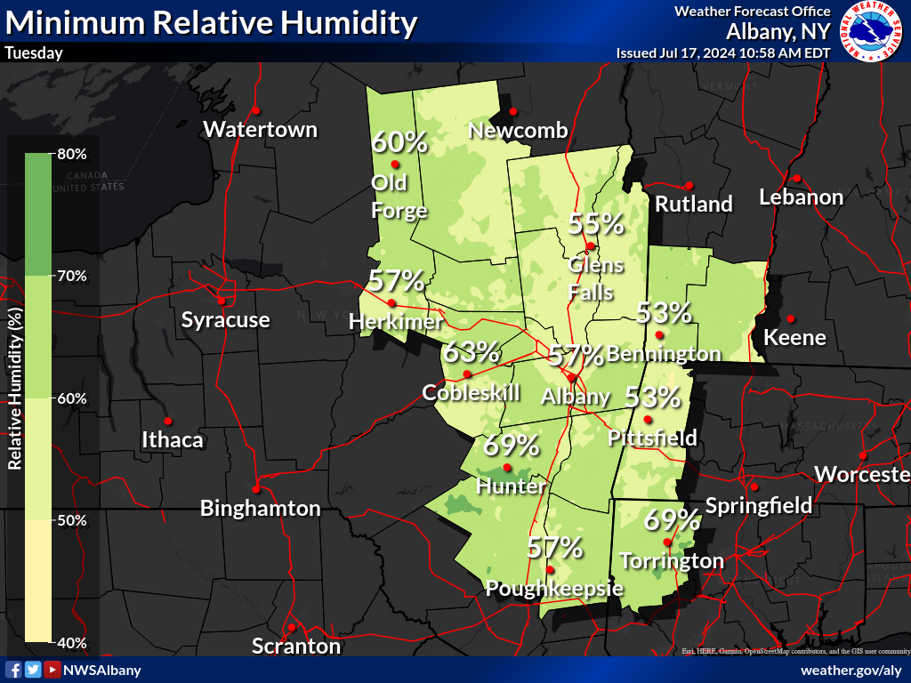
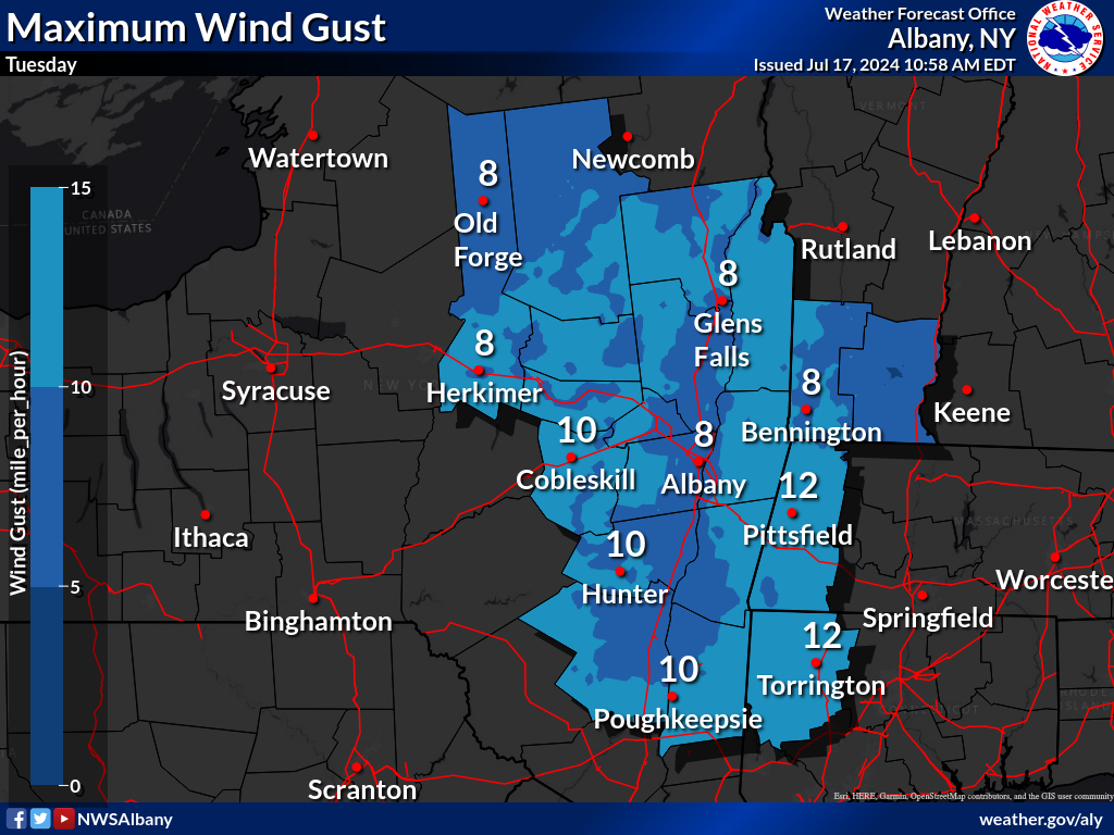
| Day 1 - Min RH Forecast | Day 1 - Max Gust Forecast | Day 1 Fire Weather Outlook |
 |
 |
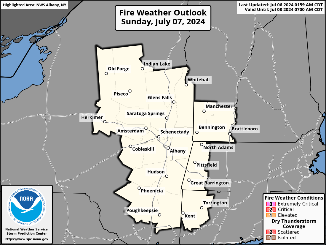 |
| Day 2 - Min RH Forecast | Day 2 - Max Gust Forecast | Day 2 Fire Weather Outlook |
 |
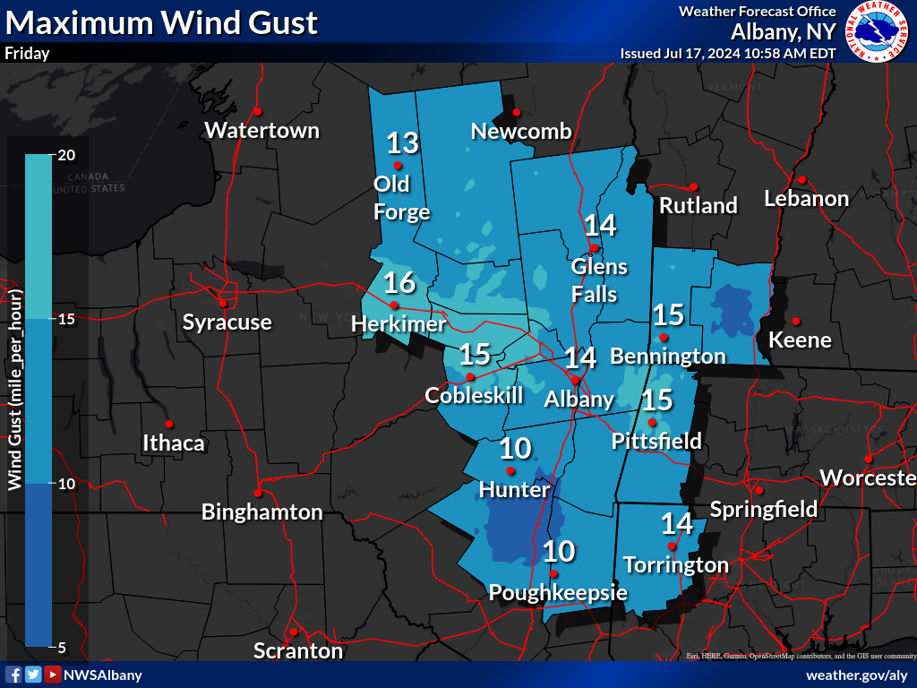 |
 |
| Day 3 - Min RH Forecast | Day 3 - Max Gust Forecast | Day 3 Fire Weather Outlook |
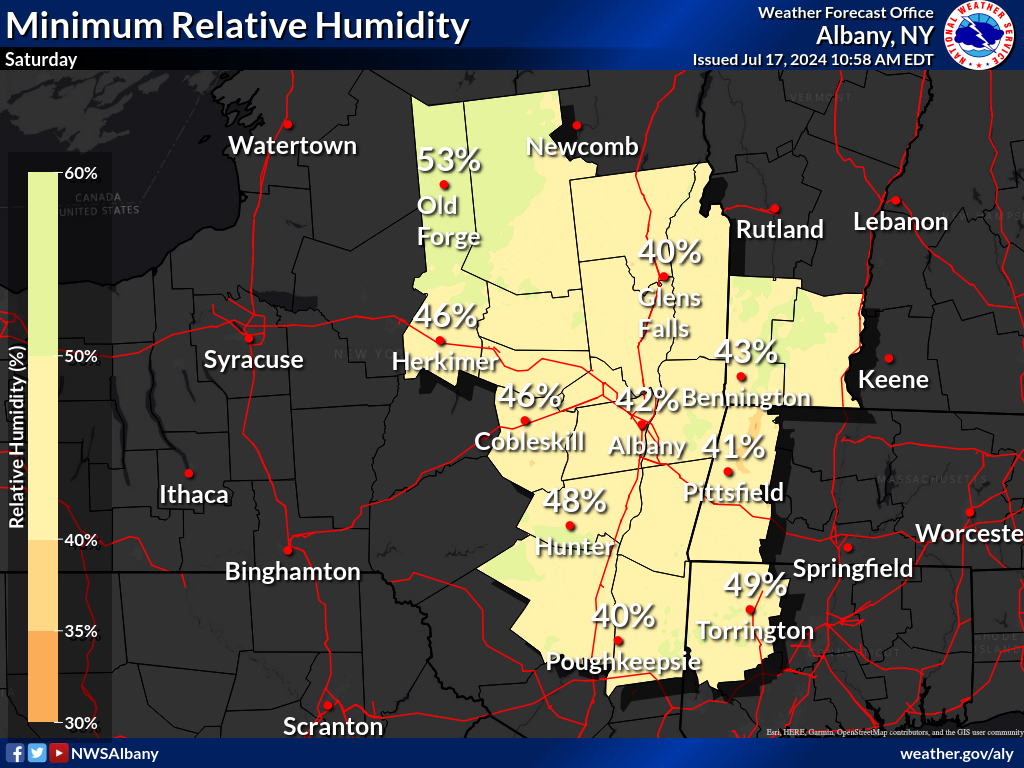 |
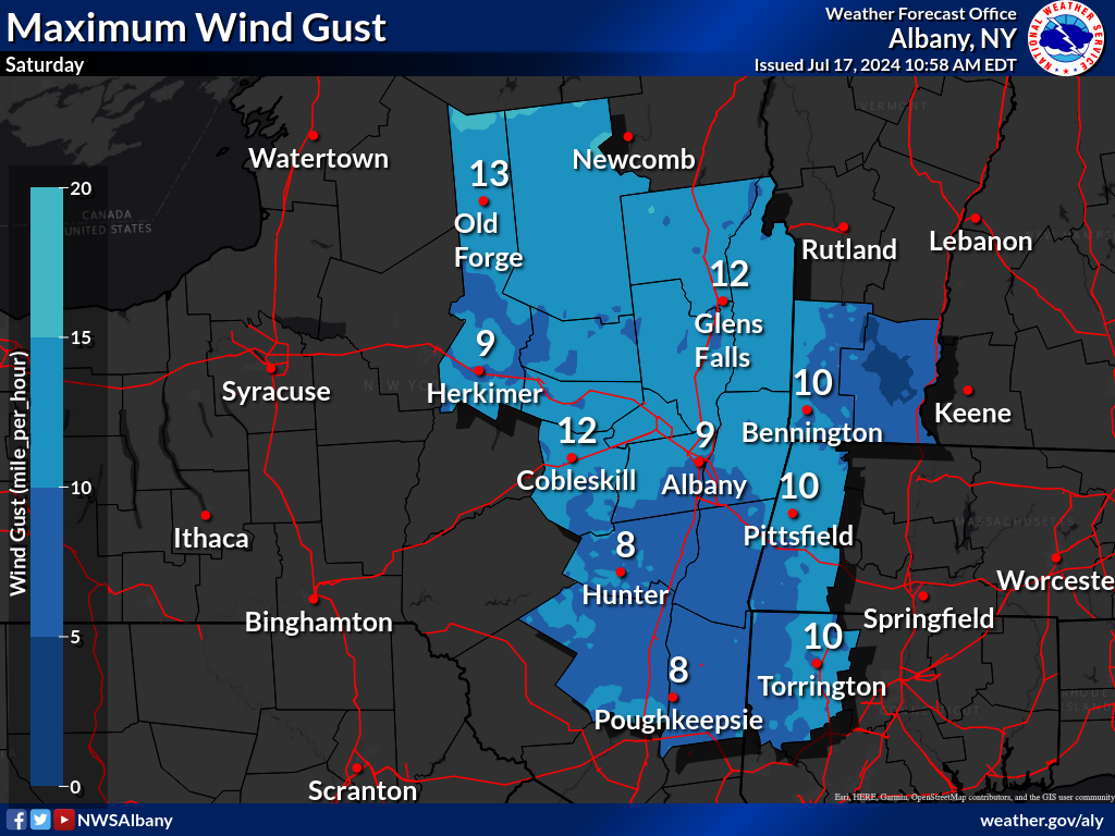 |
|
| Min RH Forecast - Day 4 | Max Gust Forecast - Day 4 | Day 4 Fire Weather Outlook |
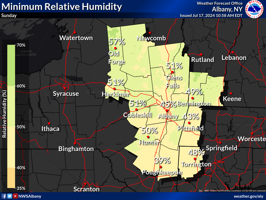 |
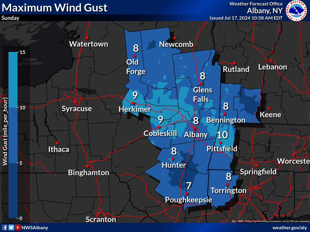 |
|
| Min RH Forecast - Day 5 | Max Gust Forecast - Day 5 | Day 5 Fire Weather Outlook |
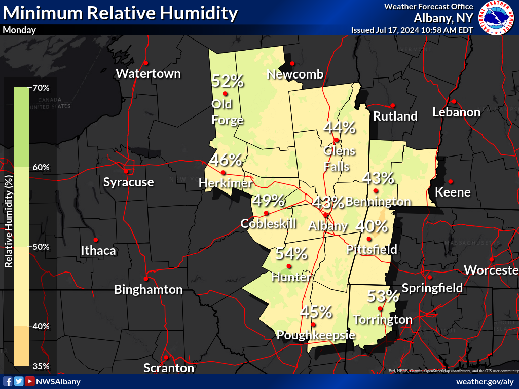 |
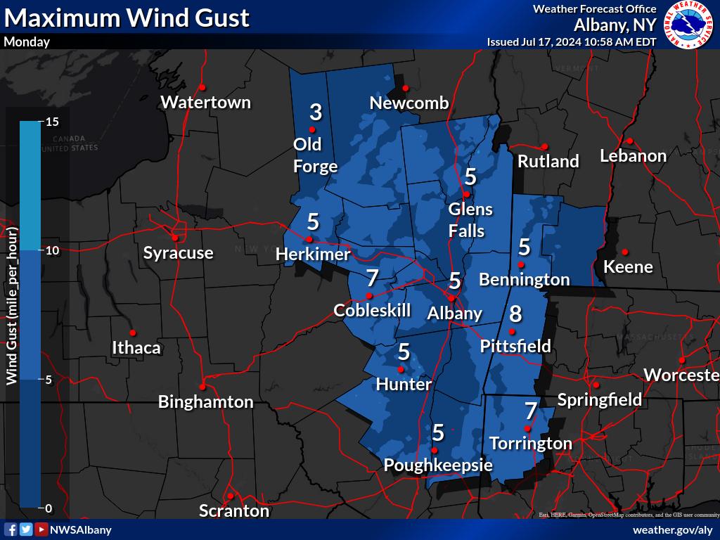 |
|
| Min RH Forecast - Day 6 | Max Gust Forecast - Day 6 | Day 6 Fire Weather Outlook |
 |
 |
|
| Min RH Forecast - Day 7 | Max Gust Forecast - Day 7 | Day 7 Fire Weather Outlook |
Understanding the Storm Prediction Center Fire Weather Outlooks
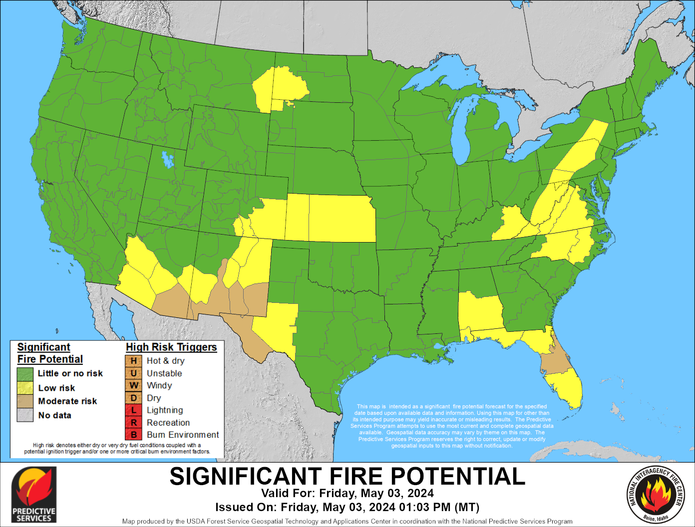
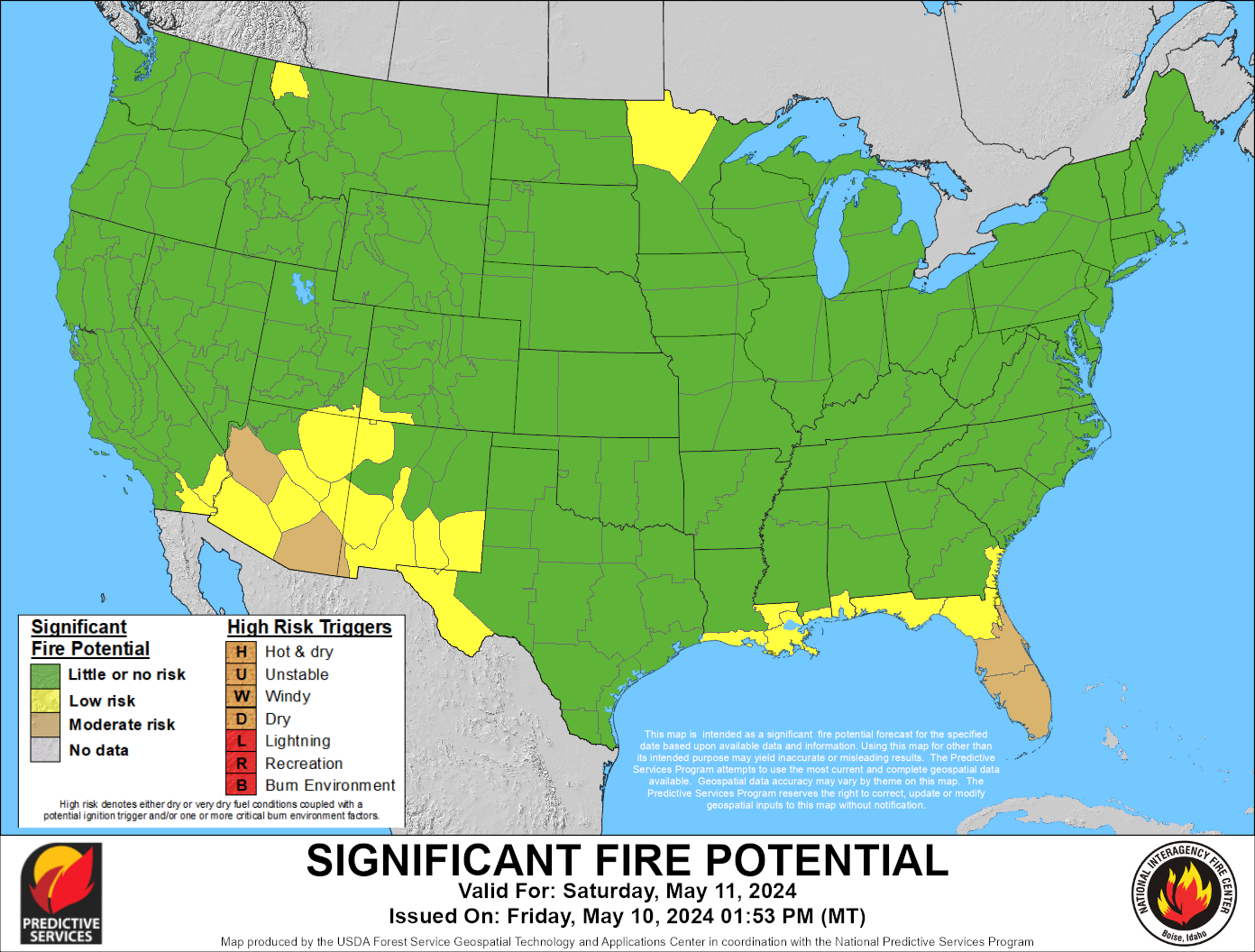
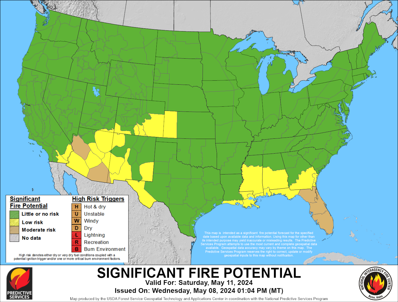
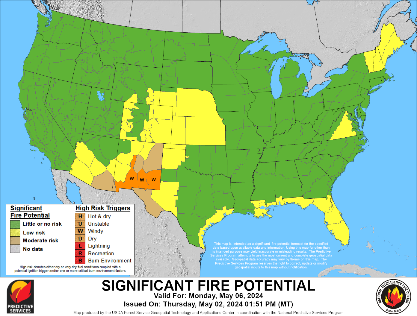
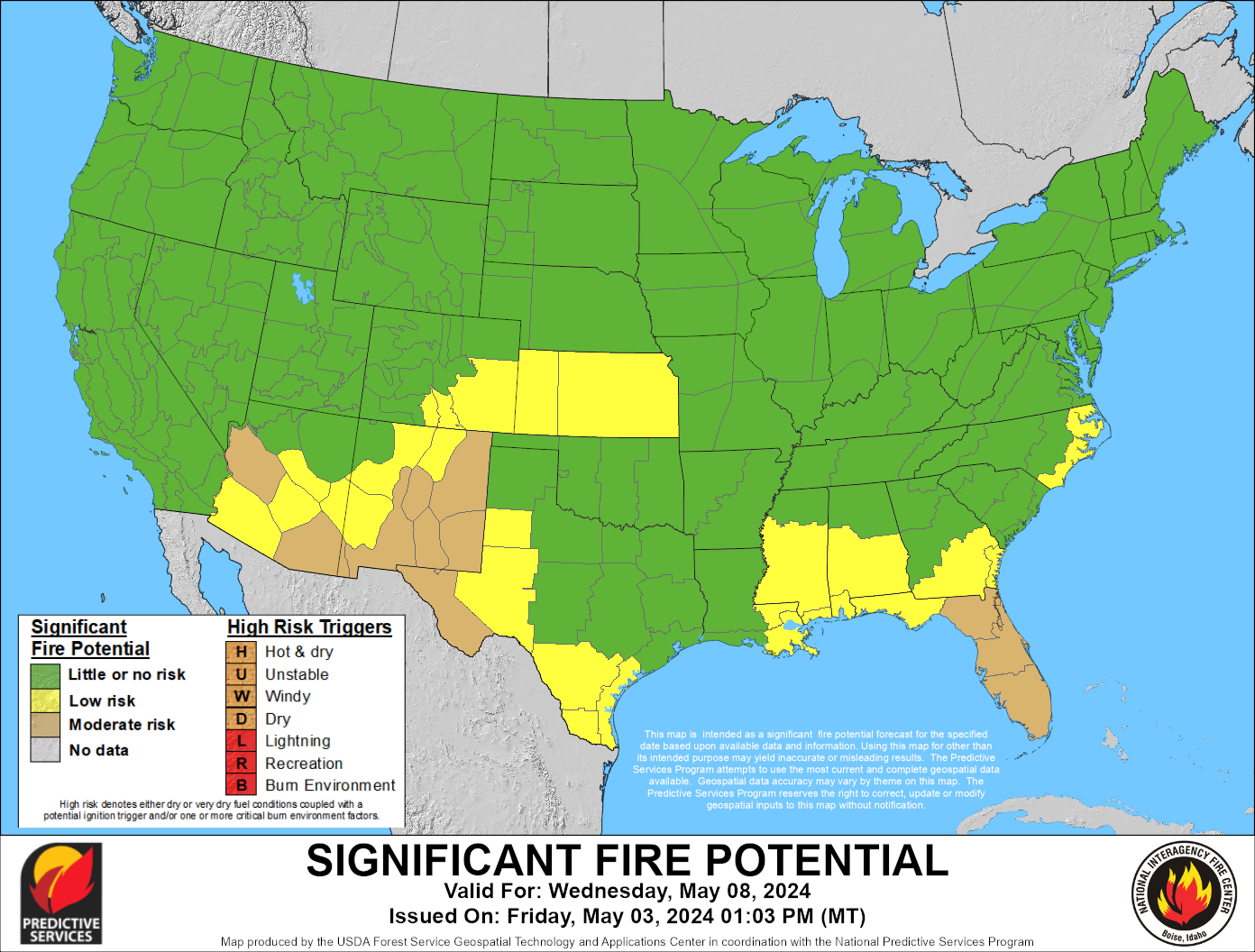
National 7-Day Significant Fire Potential
 |
 |
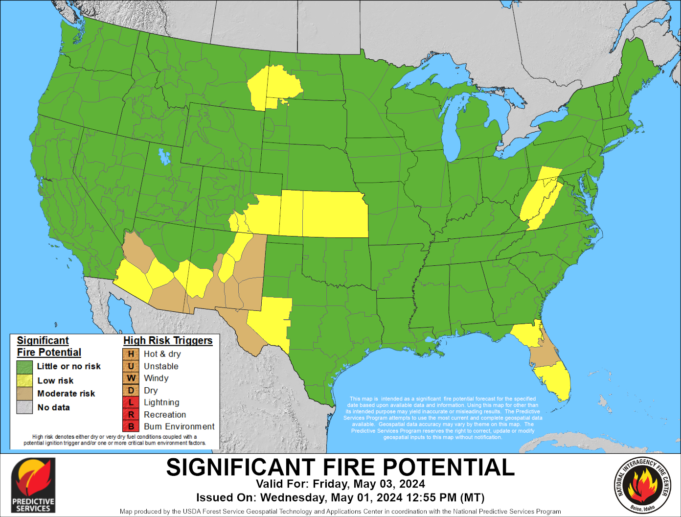 |
| Day 1 Significant Fire Potential | Day 2 Significant Fire Potential | Day 3 Significant Fire Potential |
 |
 |
 |
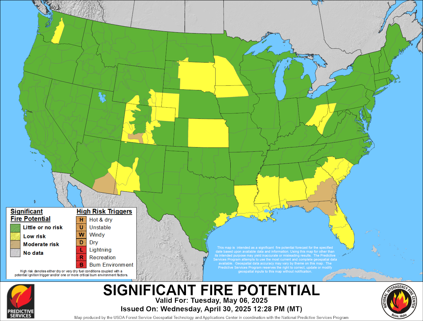 |
| Day 4 Significant Fire Potential | Day 5 Significant Fire Potential | Day 6 Significant Fire Potential | Day 7 Significant Fire Potential |
These products are updated each weekday, usually by mid-afternoon Mountain time.
Explanation of the 7-Day Significant Fire Potential
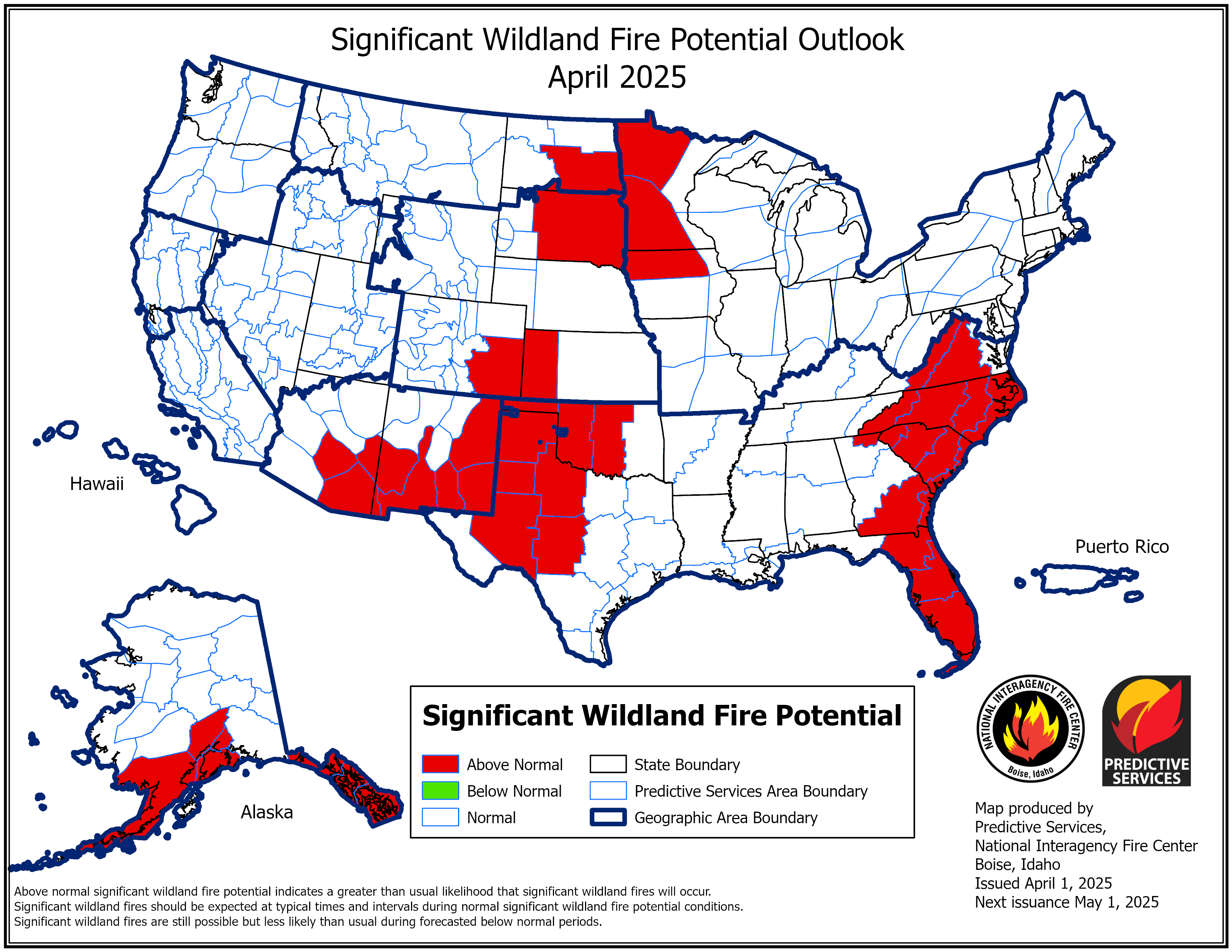
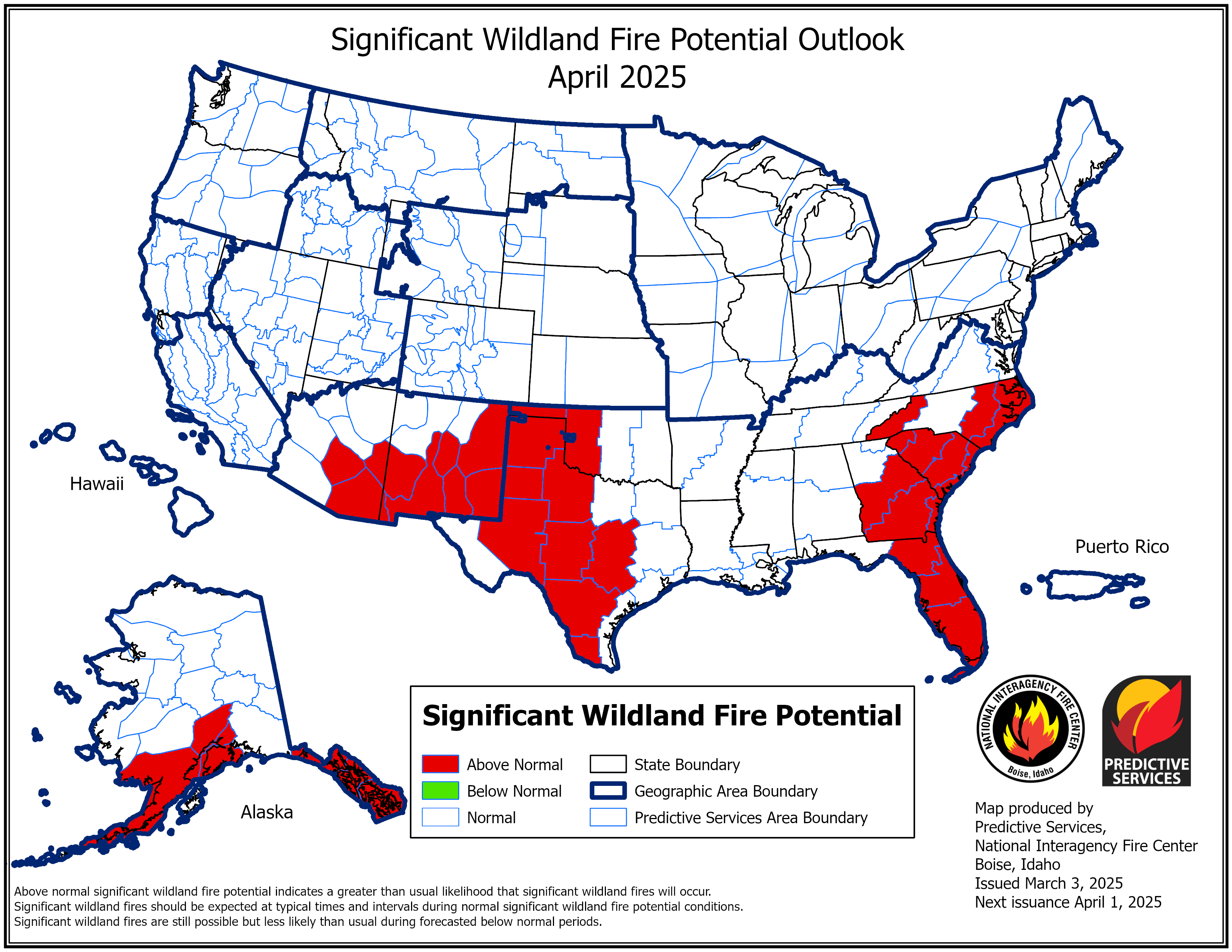
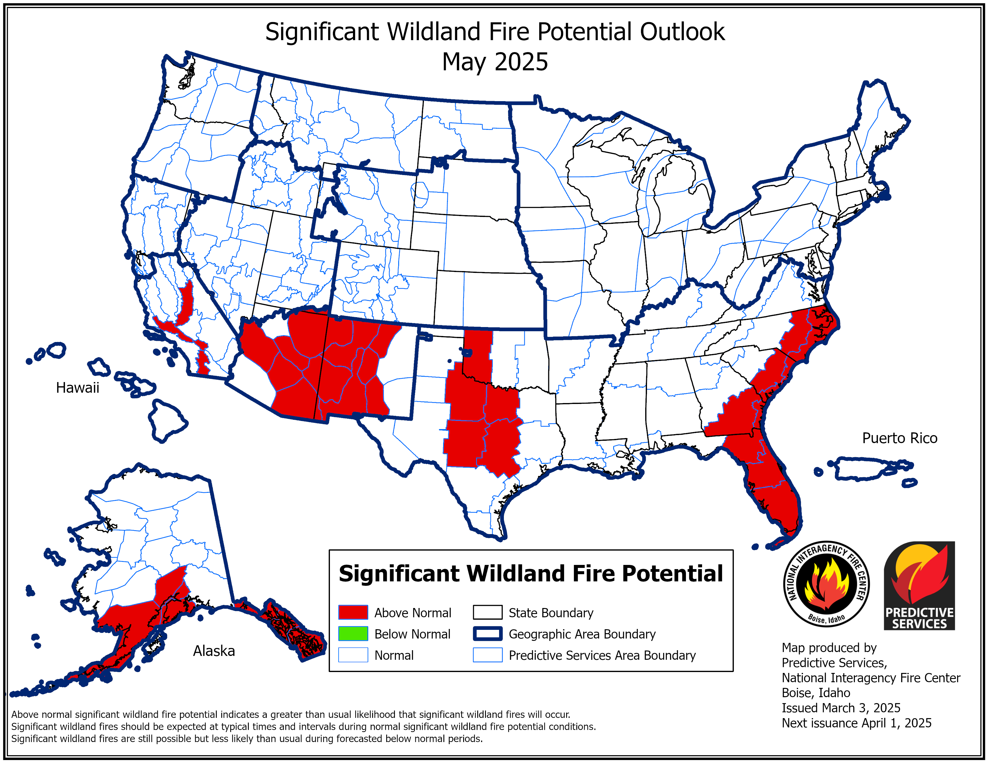
National Significant Wildlife Fire Potential Outlooks
 |
 |
 |
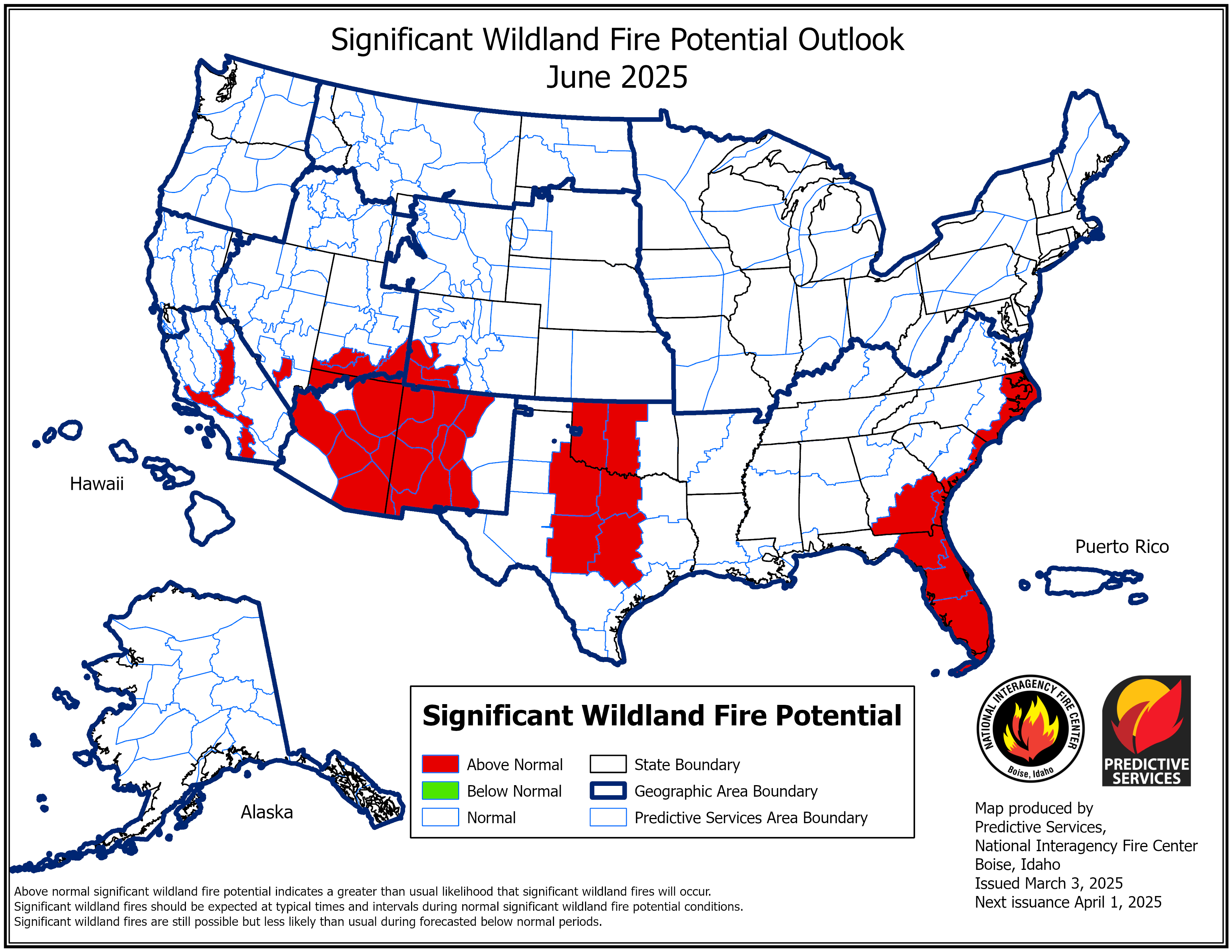 |
| Current Month Outlook | Next Month Outlook | Month 3 Outlook | Month 4 Outlook |
 |
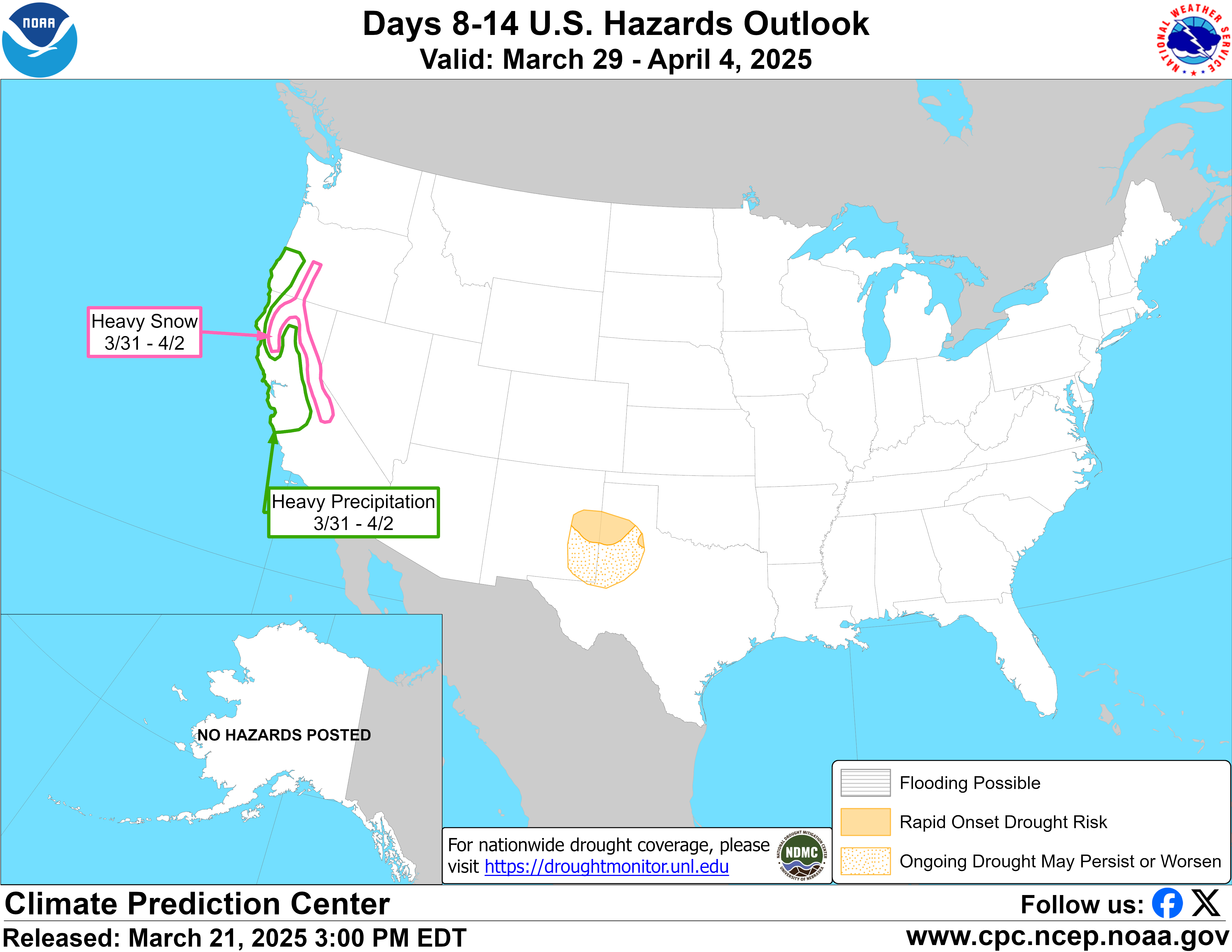 |
| 3-7 Day Hazards Outlook Note: Only produced Monday-Friday |
8-14 Day Hazards Outlook Note: Only produced Monday-Friday |
 |
 |
 |
 |
| 6-10 Day Temperature Outlook (Interactive Map) |
6-10 Day Precipitation Outlook (Interactive Map) |
8-14 Day Temperature Outlook (Interactive Map) |
8-14 Day Precipitation Outlook (Interactive Map) |
 |
 |
| Week 3-4 Temperature Outlook | Week 3-4 Precipitation Outlook |
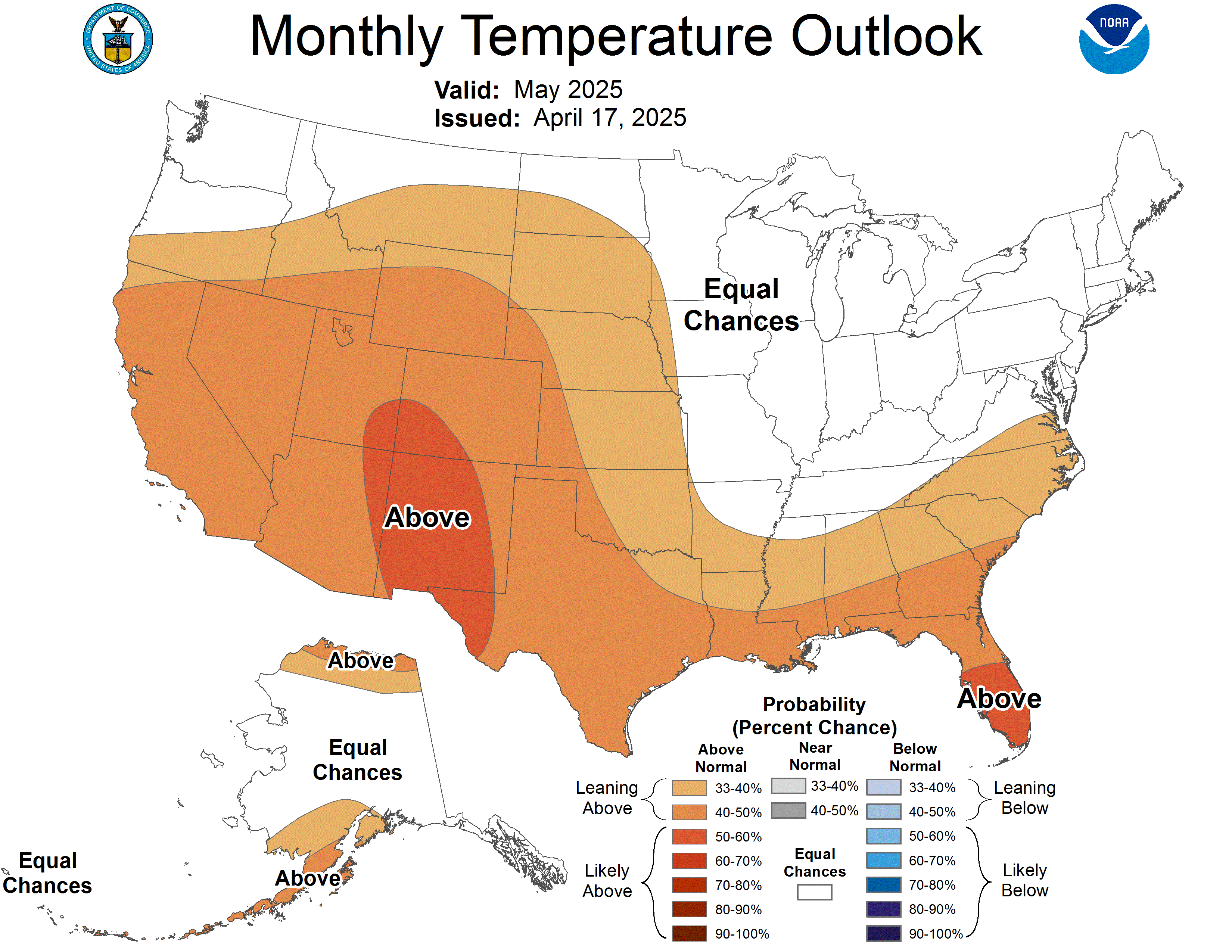 |
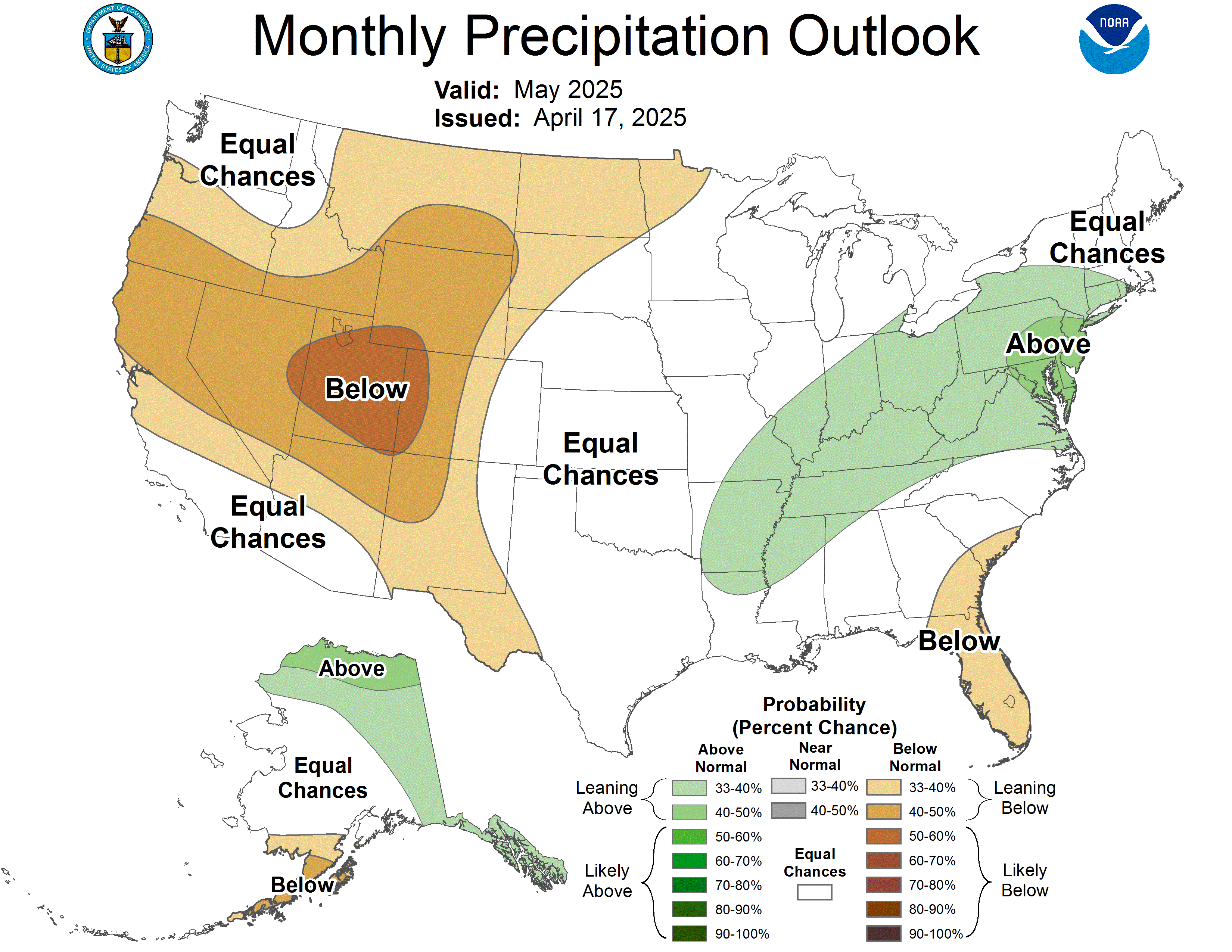 |
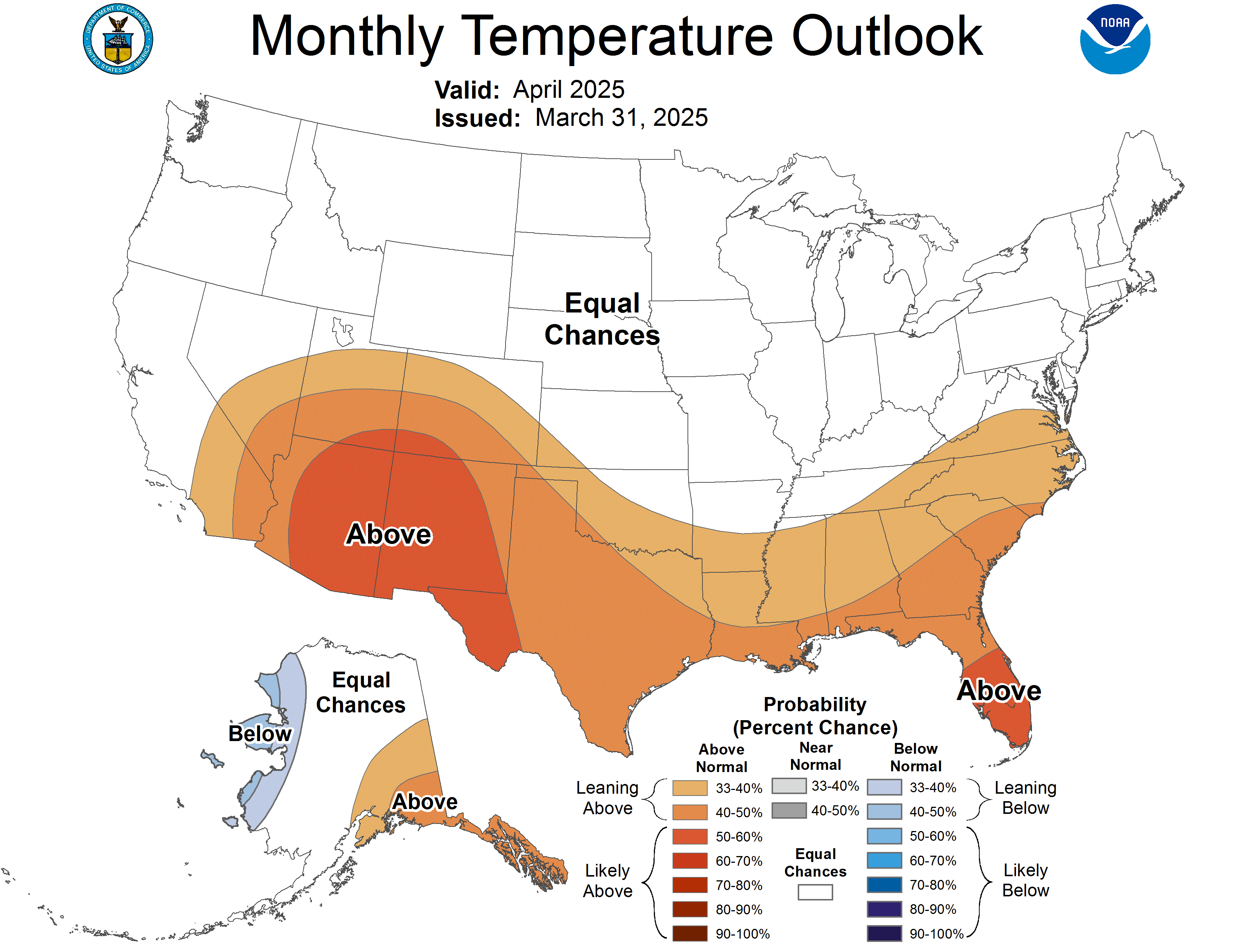 |
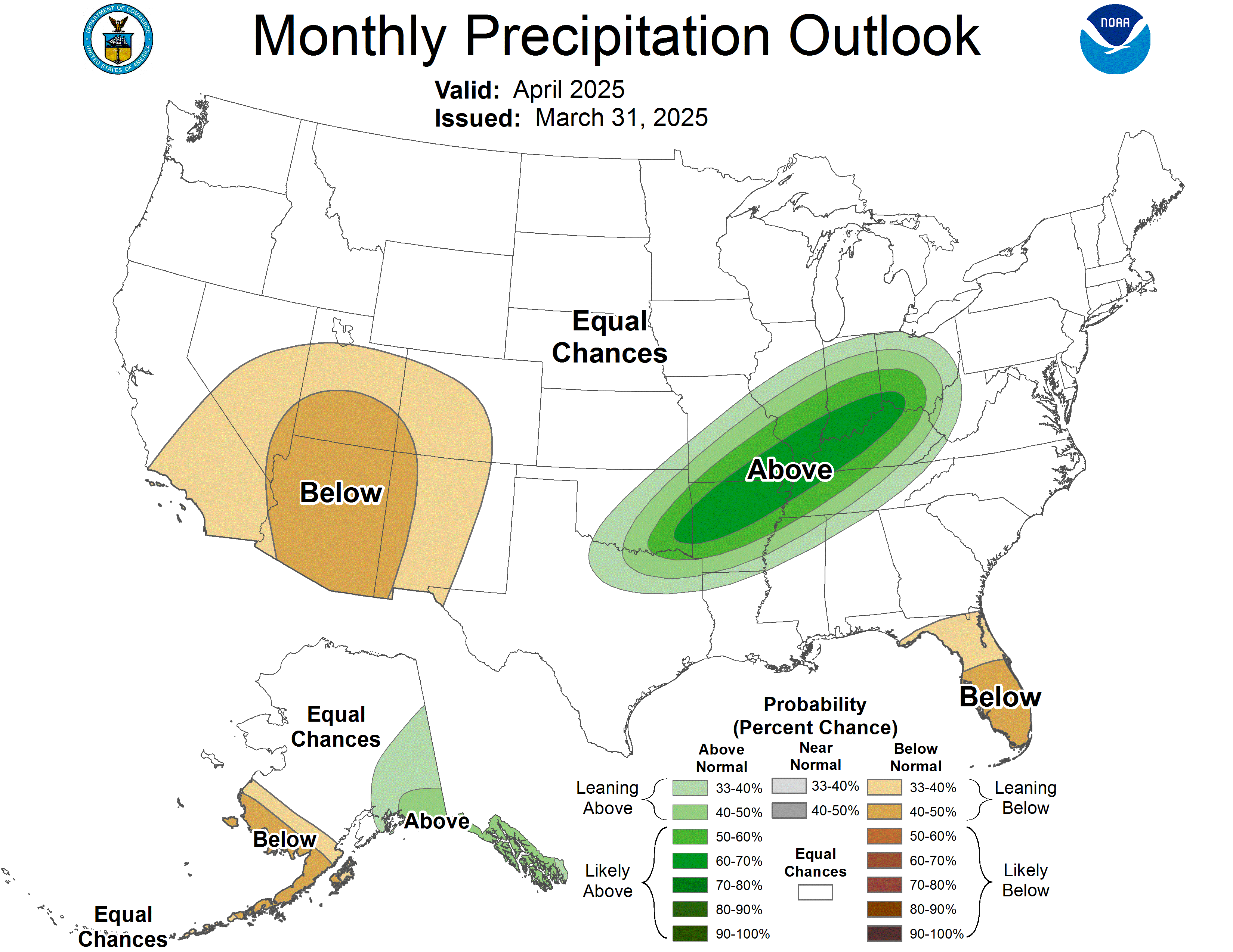 |
| Monthly Temperature Outlook |
Monthly Precipitation Outlook |
Updated Temperature Outlook |
Updated Precipitation Outlook |
Temperature and Precipitation Outlooks: Calculating Category Probabilities
NWS HeatRisk - Understanding NWS HeatRisk
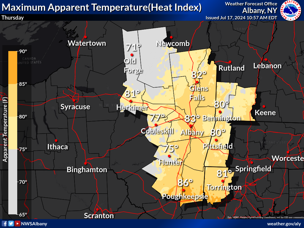
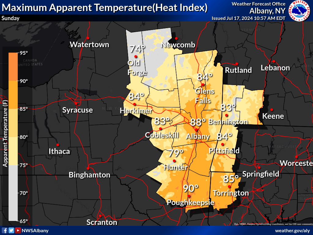
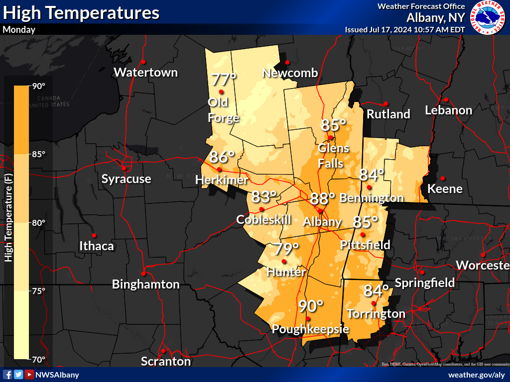
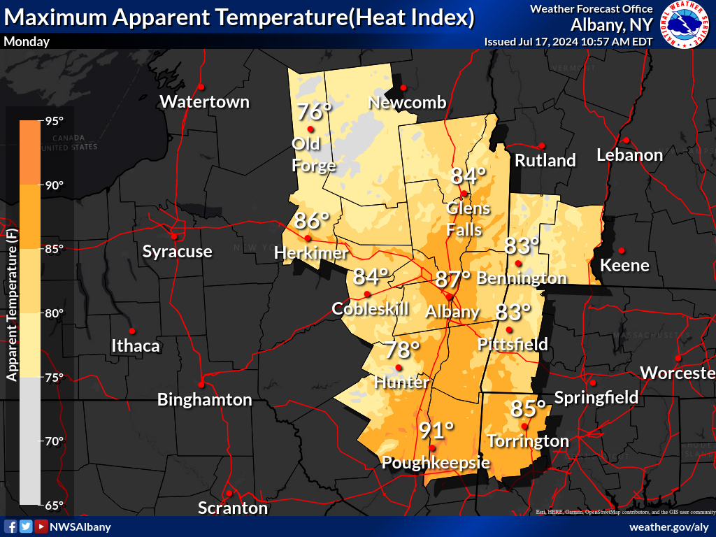
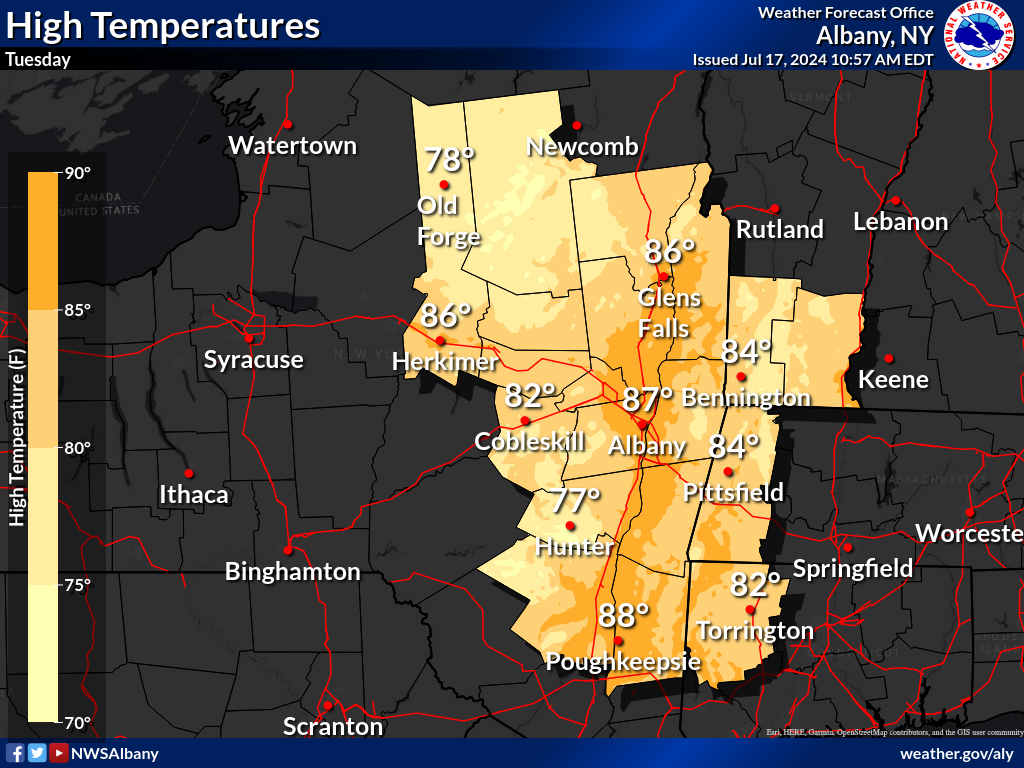
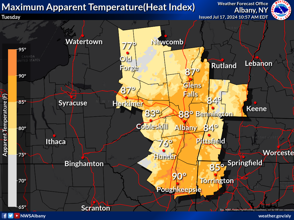
Heat Index --- Wet Bulb Globe Temperature
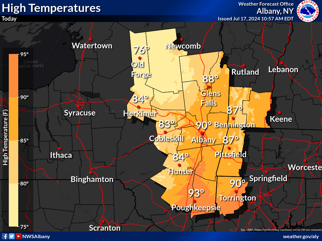 |
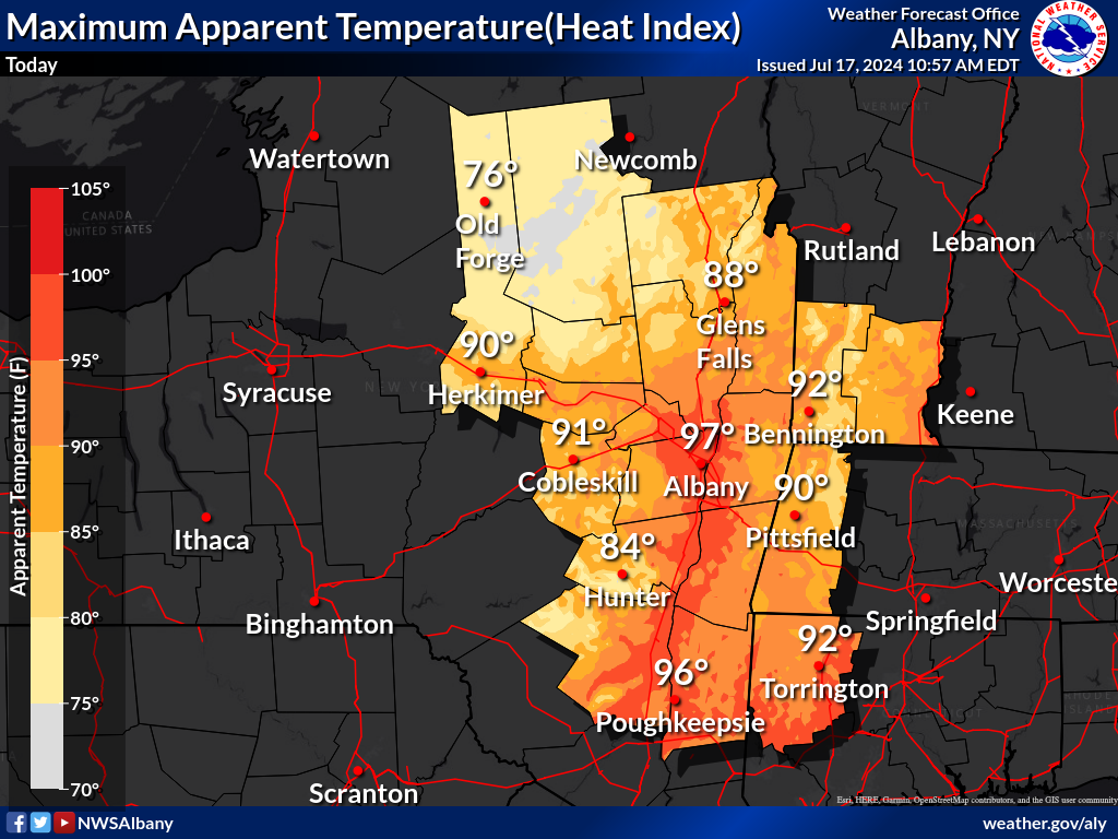 |
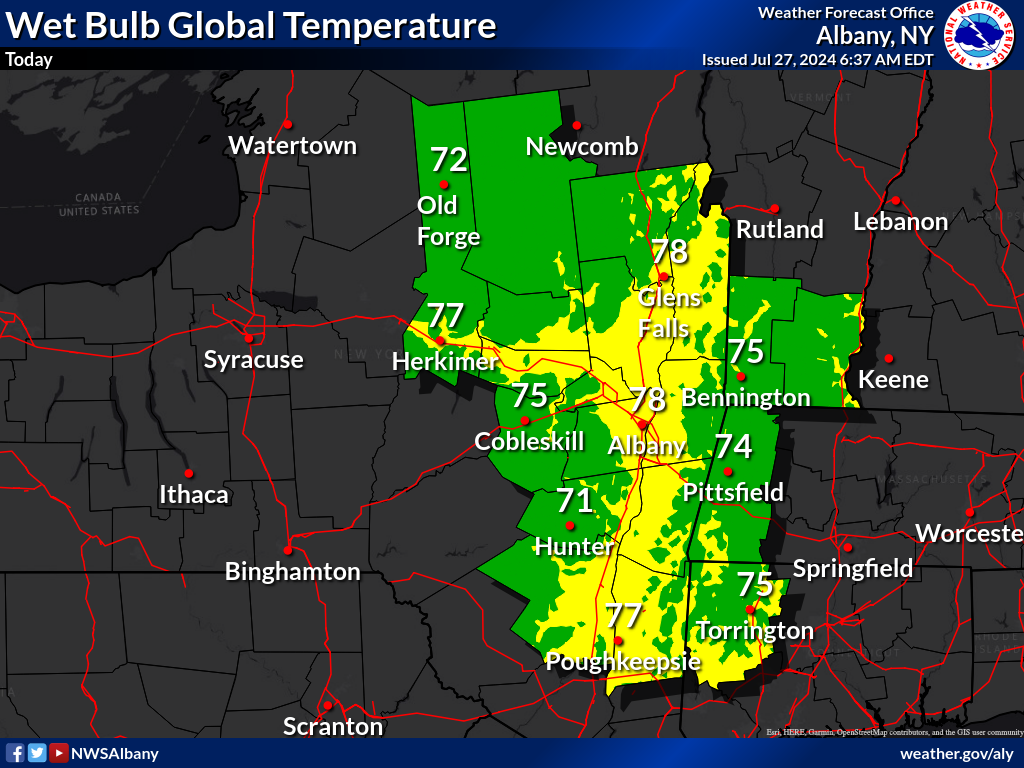 |
| Today - Highs | Today - Heat Index | Today - WBGT |
 |
 |
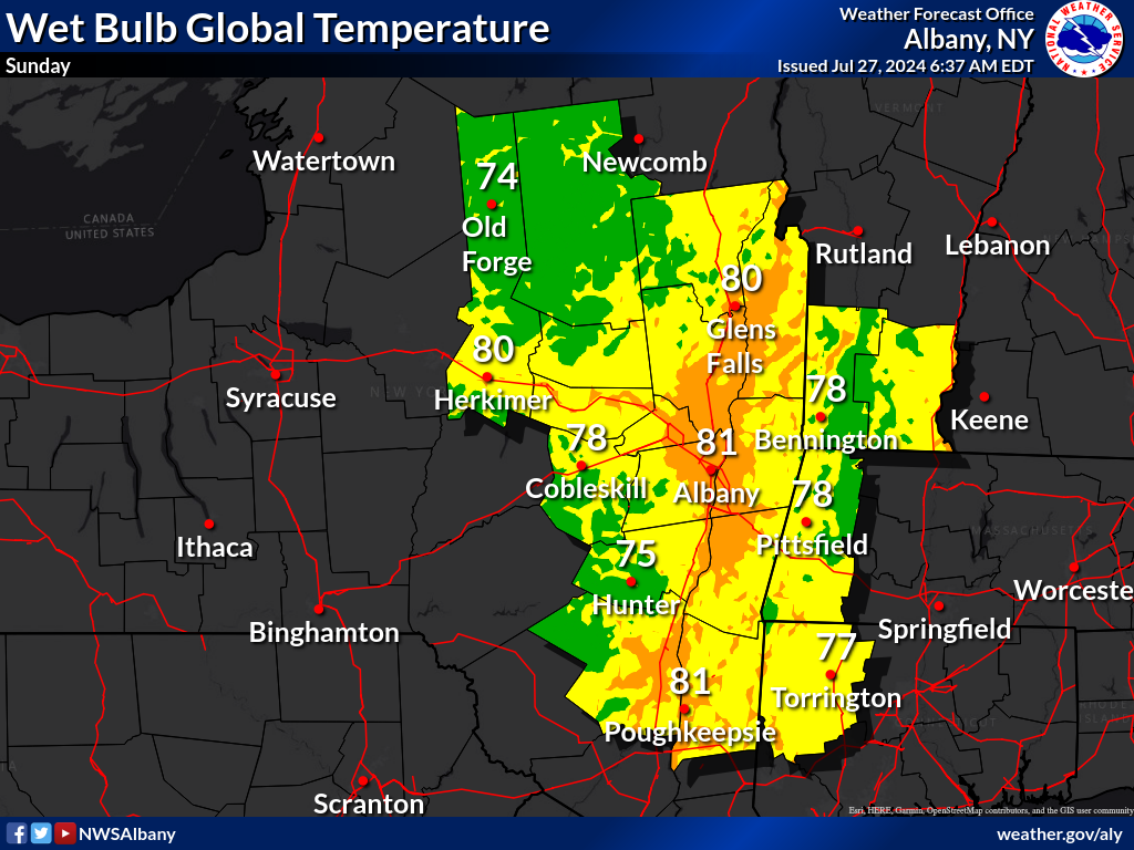 |
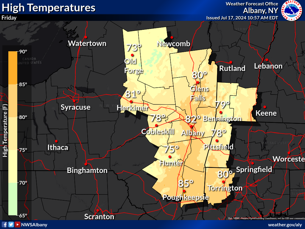
| Tomorrow - Highs | Tomorrow - Heat Index | Tomorrow - WBGT |
 |
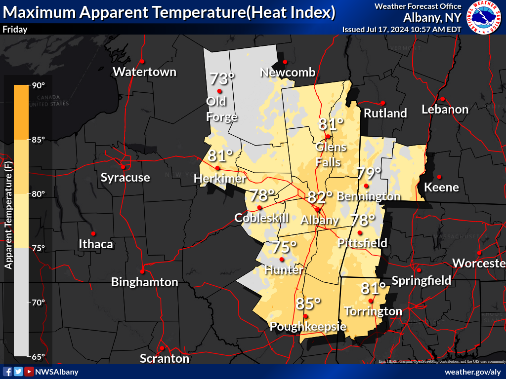 |
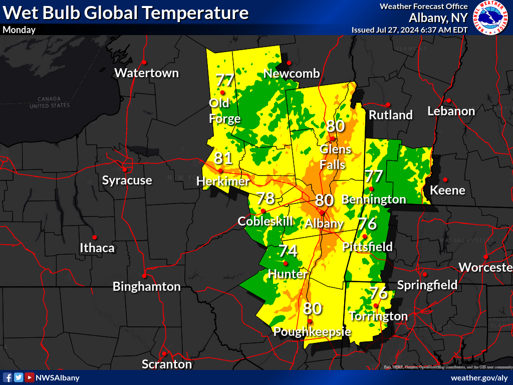 |
| Day 3 - Highs | Day 3 - Heat Index | Day 3 - WBGT |
 |
 |
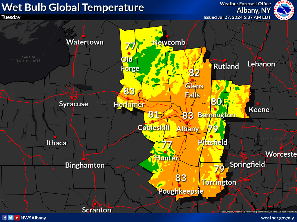 |
| Day 4 -Highs | Day 4 - Heat Index | Day 4 - WBGT |
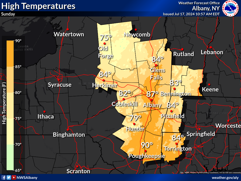 |
 |
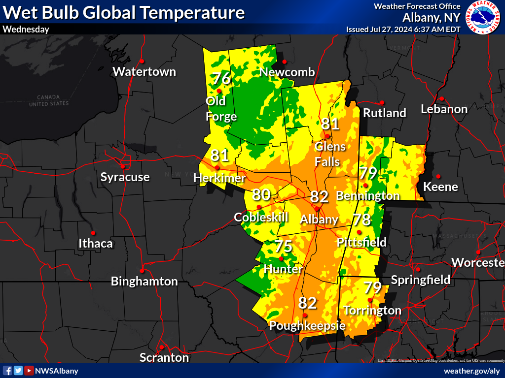 |
| Day 5 - Highs | Day 5 - Heat Index | Day 5 - WBGT |
 |
 |
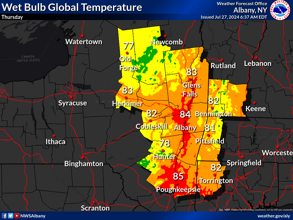 |
| Day 6 - Highs | Day 6 - Heat Index | Day 6 - WBGT |
 |
 |
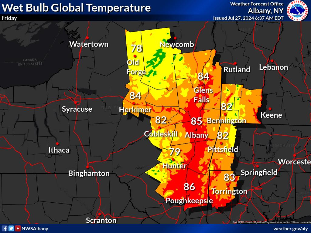 |
| Day 7 - Highs | Day 7 - Heat Index | Day 7 - WBGT |
 |
 |
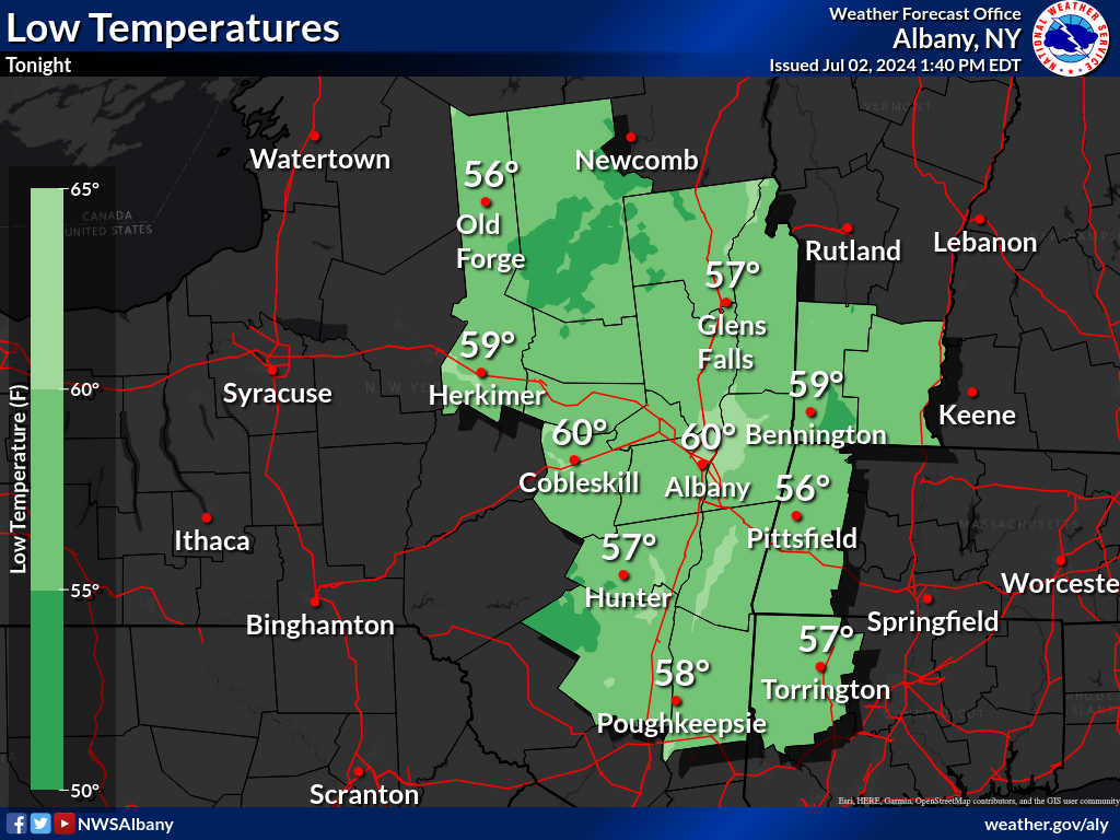
| Tonight - Lows | Tonight - Wind Chill |
 |
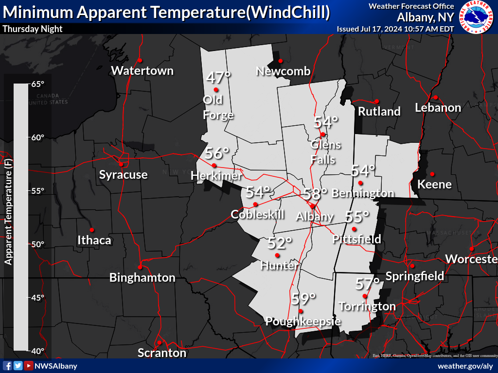 |
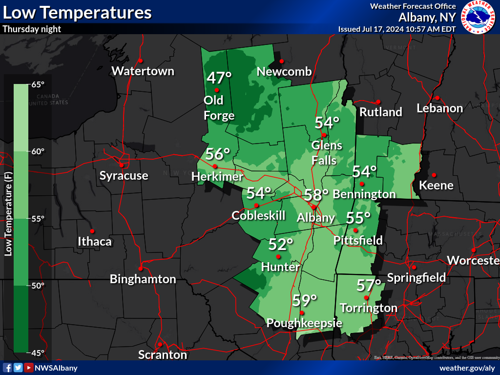
| Tomorrow Night - Lows | Tomorrow Night - Wind Chill |
 |
 |
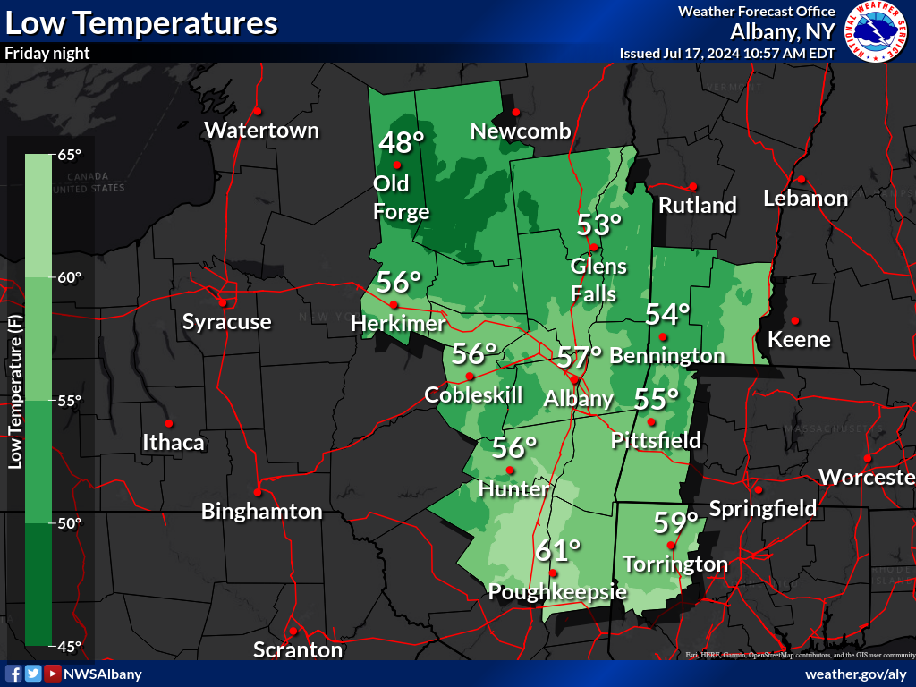
| Day 3 - Lows | Day 3 - Wind Chill |
 |
 |
| Day 4 - Lows | Day 4 - Wind Chill |
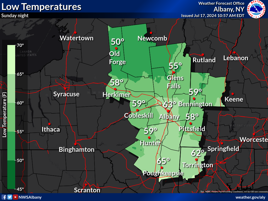 |
 |
| Day 5 - Lows | Day 5 - Wind Chill |
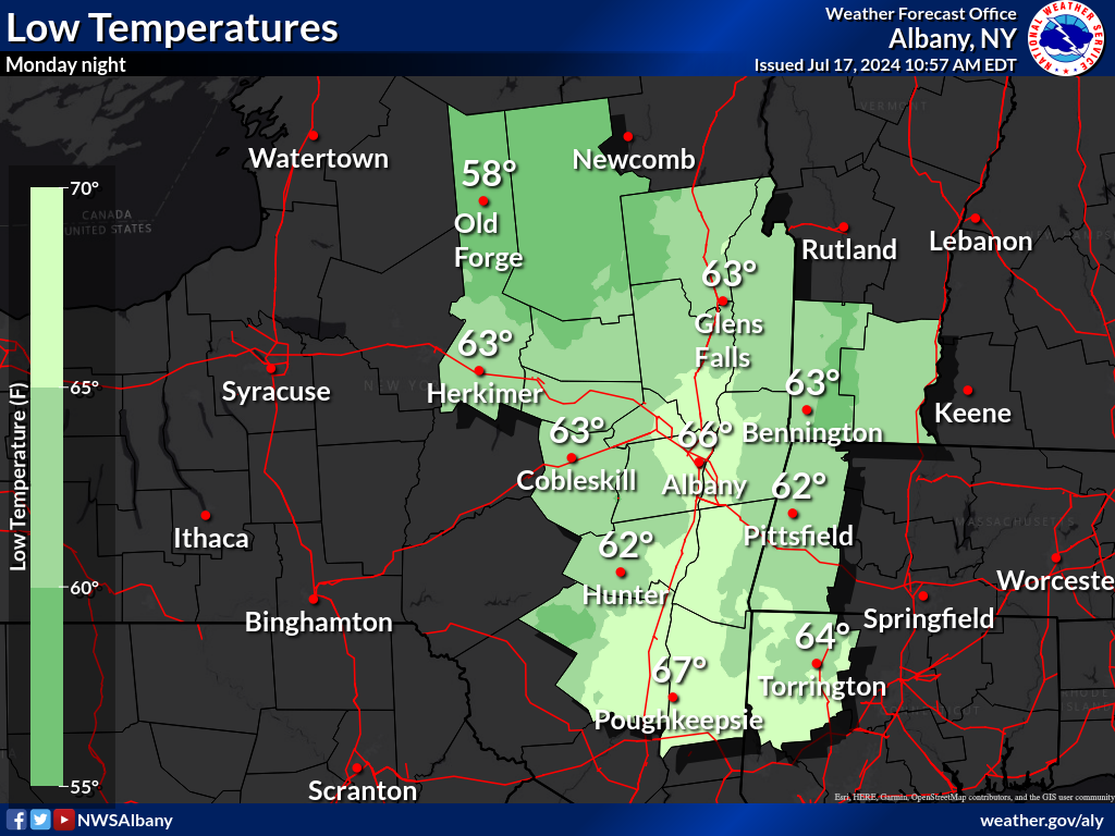 |
 |
| Day 6 - Lows | Day 6 - Wind Chill |
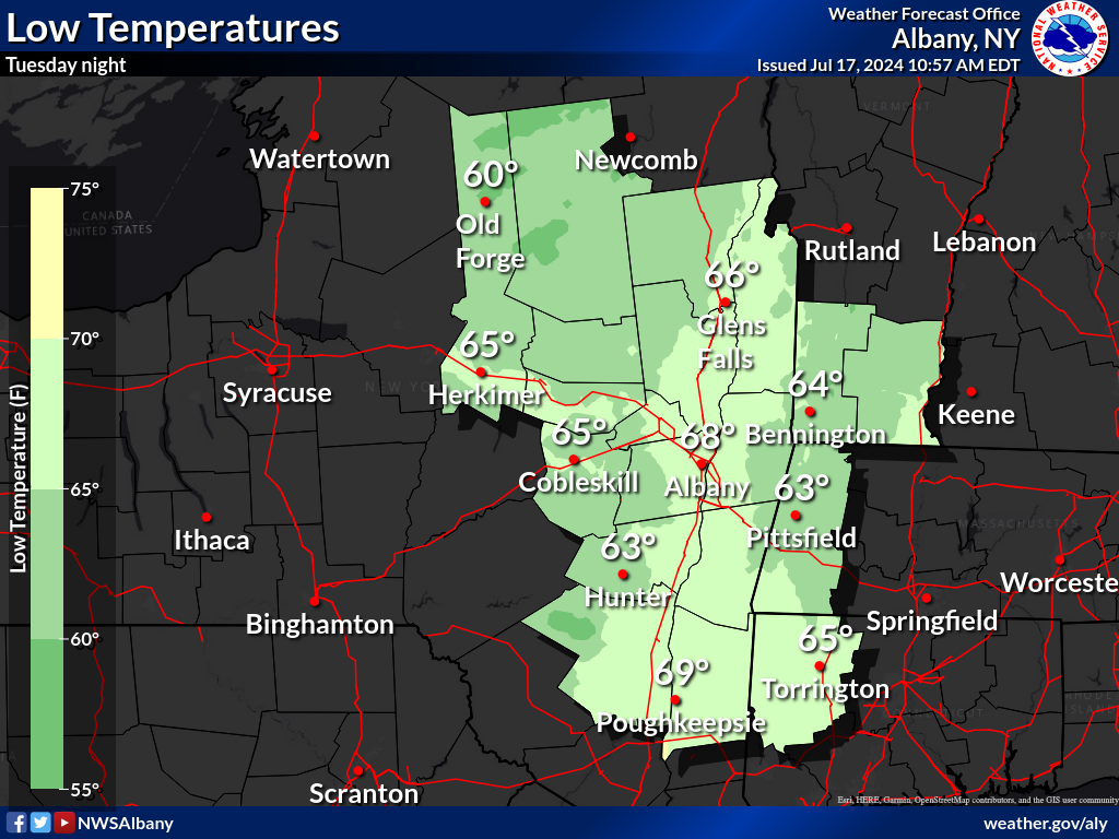 |
 |
| Day 7 - Lows | Day 7 - Wind Chill |
 |
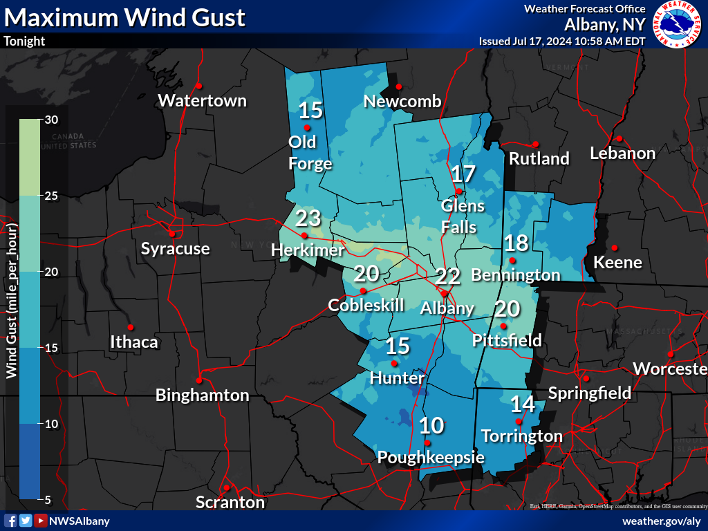 |
 |
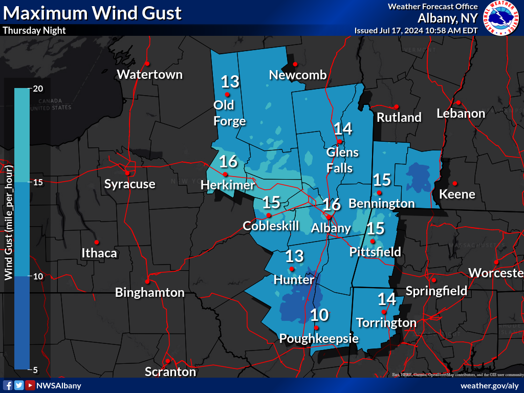 |
| Today | Tonight | Tomorrow | Tomorrow Night |
 |
 |
 |
 |
 |
| Day 3 | Day 4 | Day 5 | Day 6 | Day 7 |
 |
 |
 |
 |
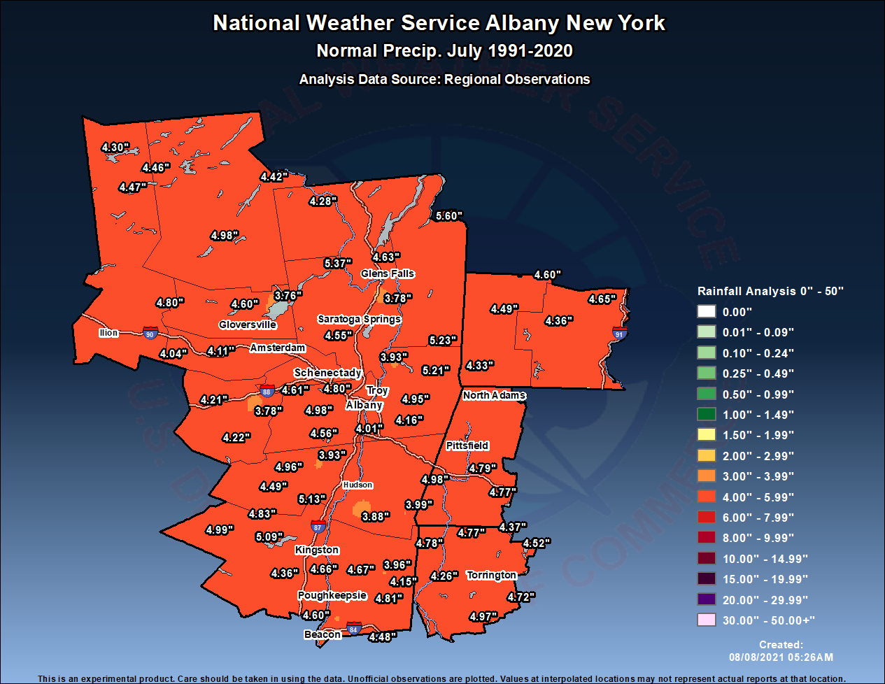
| January | February | March | April |
 |
 |
 |
 |
| May | June | July | August |
 |
 |
 |
 |
| September | October | November | December |
 |
 |
||
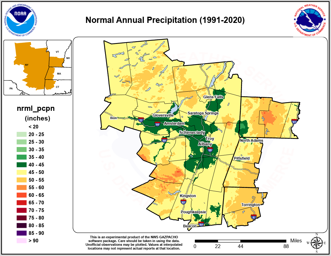
| 1991-2020 Normals NWS Albany |
1991-2020 Normals with sample points |
 |
 |
 |
 |
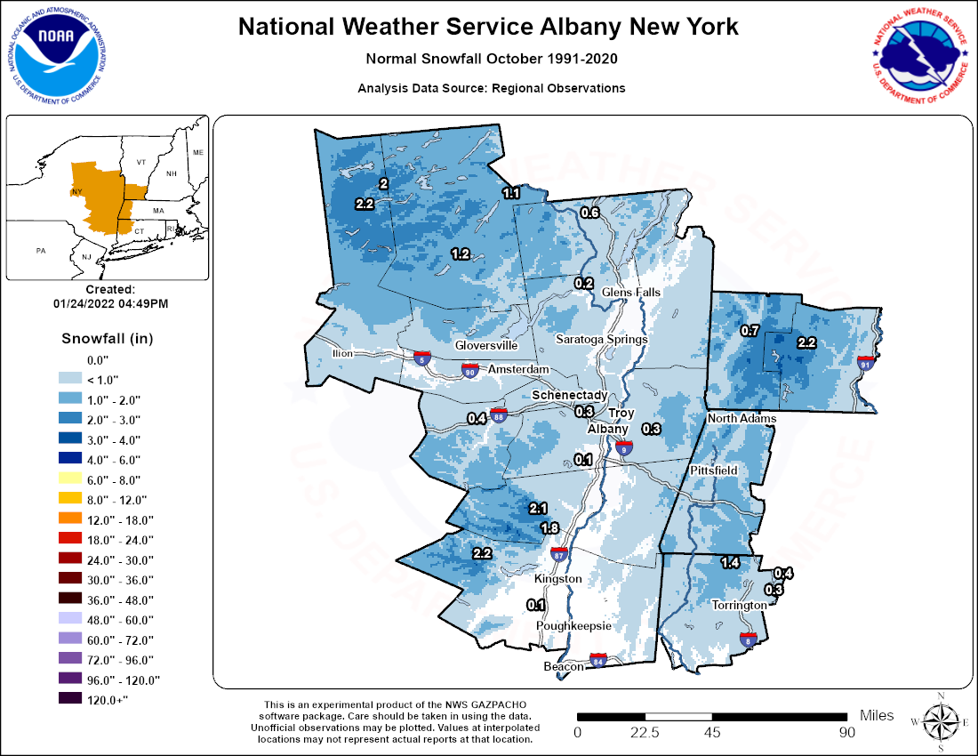
| October | November | December | January |
 |
 |
 |
 |
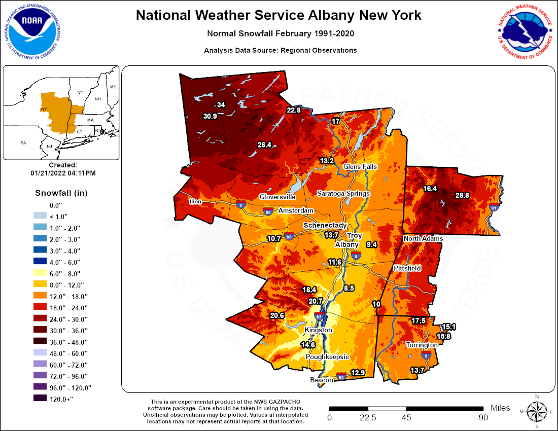
| February | March | April | May |
 |
 |
||
| 1991-2020 Normals NWS Albany |
1991-2020 Normals with sample points |
 |
Please acknowledge the NWS as the source of any news information accessed from this site |  |