
More rounds of excessive rainfall and severe weather are expected to push east and southeast toward the Lower Mississippi Valley into Monday. A late-season storm will bring widespread high-elevation snow and lower elevation rain across the Pacific Northwest toward the northern Rockies with increasingly windy conditions to develop over the northern High Plains. Read More >
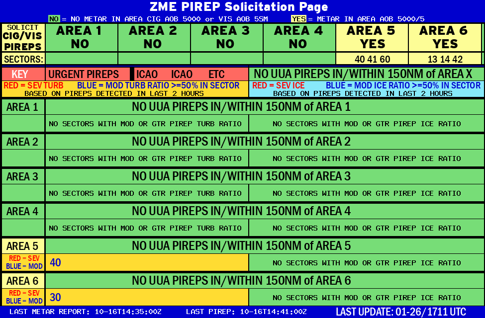 |
AREA 1 |
AREA 2 |
AREA 3 |
AREA 4 |
AREA 5 |
AREA 6 |
|
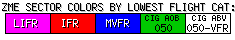
Lo Sectors Hi Sectors UH Sectors TRACONs Icing: Lo Sectors Hi Sectors UH Sectors TRACONs CIG/VIS: METARs By Sector TRACONs PIREPs: |
|
 |
 |
 |
 |
Plotted Pireps are updated every 5 minutes, for all flight levels and include Pireps from 2 hours previous.
Click on the PIREP icons to get more information.
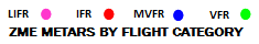
The map is displaying PIREPs using the following icons:
|
|
|
|
|


