
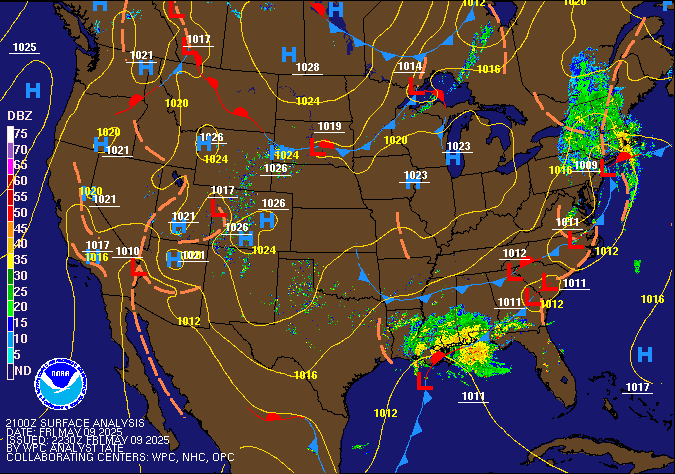
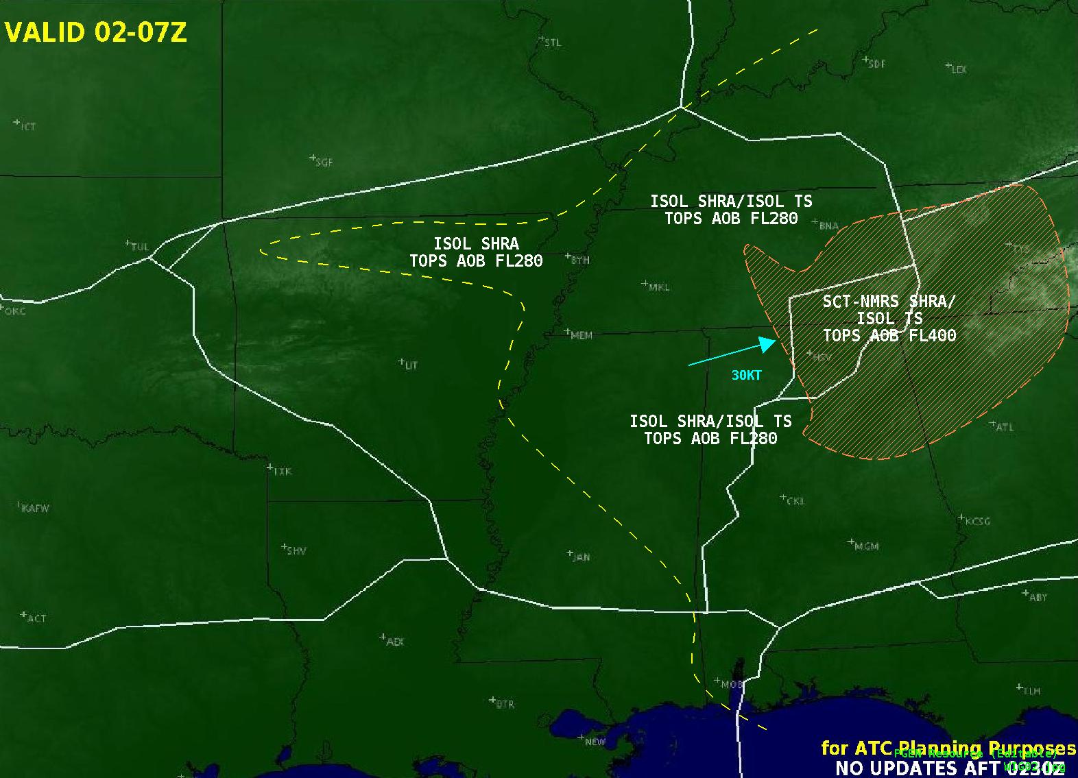
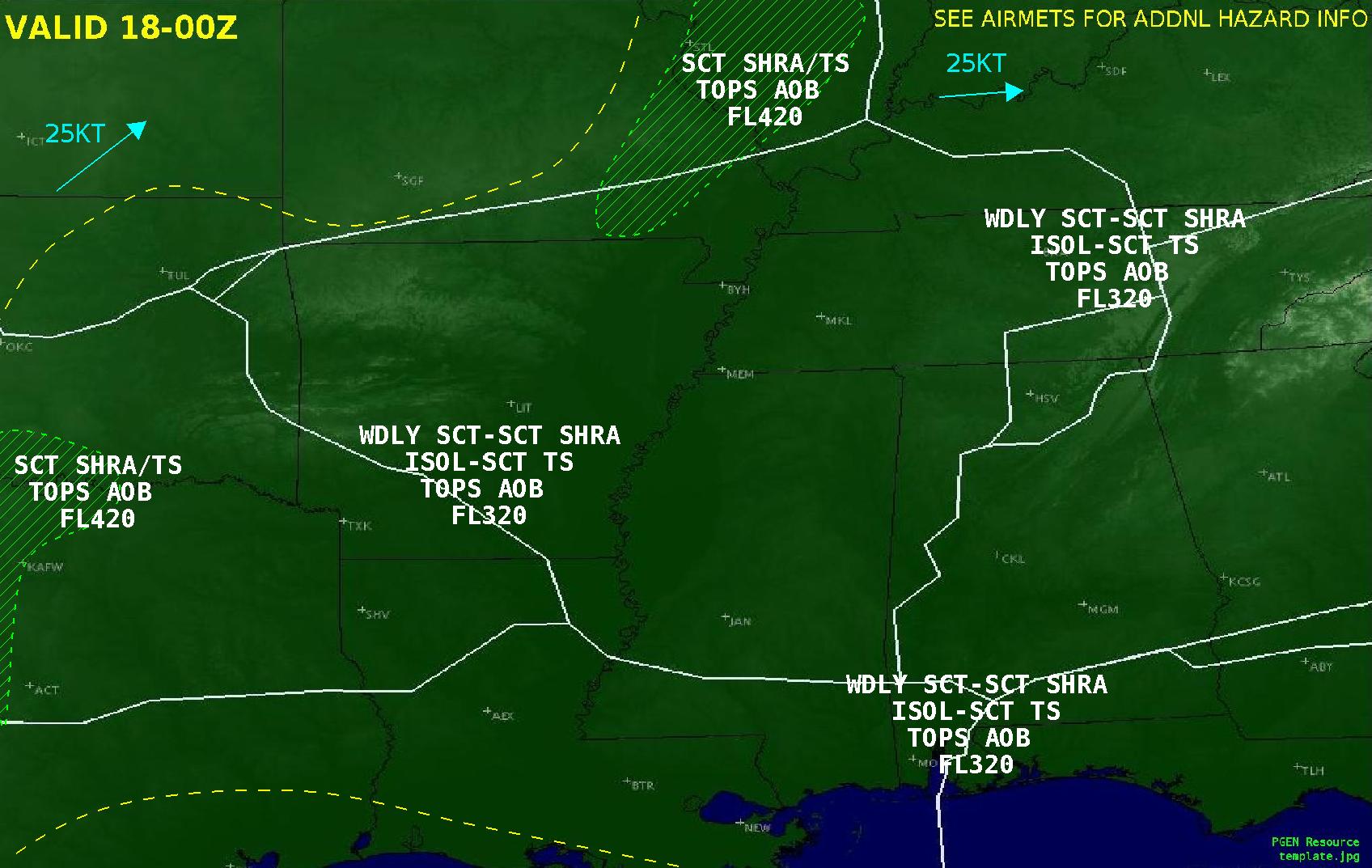
Clusters of severe storms are possible through early tonight, with the most concentrated threat for wind damage, large hail and a few tornadoes from the ArkLaTex southward into east Texas. These storms will also bring heavy rains that may result in isolated to scattered flash flooding. Above average temperatures will spread from Midwest into Mid-Atlantic into early week. Read More >
Memphis
Center Weather Service Unit
| Memphis CWSU - Web Brief/Situational Awareness Display Alternate Briefing compatible for latest IE versions and other browsers |



|
|
|
|
|
|
Current FAA OPS Plan |
National Airspace System Status |
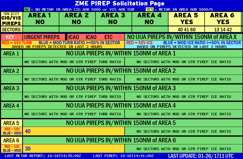
ZME CIG/VIS PIREP Page |

