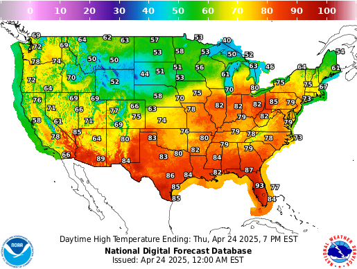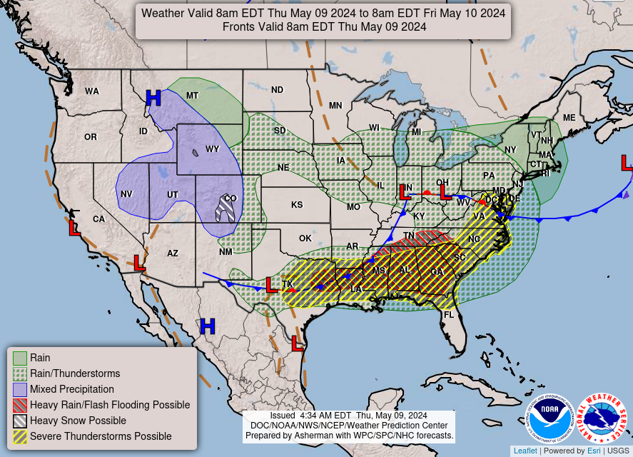
A couple of frontal boundaries will move east and south from the Plains to the Gulf and Atlantic coastlines. These boundaries will focus showers and thunderstorms through the weekend, with scattered severe thunderstorms from the Southern Plains and across the Gulf Coast states. Locally heavy rainfall may also occur, which may be welcome news across drought areas. Meanwhile, heat spreads westward. Read More >
Morristown, TN
Weather Forecast Office
Daily Temperature And Precipitation Table
National Weather Service Morristown, Tennessee
1131 AM EDT Sun May 10 2026

Following is the Smoky Mountain Temperature and Precipitation
Information, valid for a 24 hour period ending at 7:30 AM.

.BR MRX 0510 E DH08/TAIRZX/TAIRZN/PPDRZZ/SFDRZZ/SDIRZZ
:
:ID    location              high  low    pcpn    snow   snow depth
GTLT1: Sugarland Center    :  72 /  45 /  0.00 /   0.0 /    0
NFGT1: Newfound Gap, TN    :  66 /  45 /  0.00 /   0.0 /    0
TNST1: Cades Cove          :  56 /  39 /     M /     M /    M
MTLT1: Mount LeConte       :  70 /  39 /  0.00 /   0.0 /    0
CRKN7: Oconaluftee         :   M /   M /     M /     M /    M
:
.END

These data are preliminary and have not undergone final quality
control by the National Centers for Environmental Information /NCEI/.
Therefore...these data are subject to revision. Final and certified
climate data can be accessed at www.ncei.noaa.gov.

$$
US Dept of Commerce
National Oceanic and Atmospheric Administration
National Weather Service
Morristown, TN
5974 Commerce Blvd.
Morristown, TN 37814
(423) 586-3771
Comments? Questions? Please Contact Us.


 Local Radar
 Huntsville Radar
 Regional Satellite
 Graphical Forecast
 Weather Map