HOME
FORECAST
Local
Graphical
Aviation
Marine
Rivers and Lakes
Hurricanes
Severe Weather
Fire Weather
Sunrise/Sunset
Long Range Forecasts
Climate Prediction
Space Weather
PAST WEATHER
Past Weather
Astronomical Data
Certified Weather Data
SAFETY
INFORMATION
Wireless Emergency Alerts
Brochures
Weather-Ready Nation
Cooperative Observers
Daily Briefing
Damage/Fatality/Injury Statistics
Forecast Models
GIS Data Portal
NOAA Weather Radio
Publications
SKYWARN Storm Spotters
StormReady
TsunamiReady
Service Change Notices
EDUCATION
NEWS
SEARCH
Search For
NWS
All NOAA
ABOUT
About NWS
Organization
For NWS Employees
National Centers
Careers
Contact Us
Glossary
Social Media
NWS Transformation
Local forecast by
"City, St" or ZIP code
Sorry, the location you searched for was not found. Please try another search.
Multiple locations were found. Please select one of the following:
Location Help
News Headlines
April 2025 Monthly Weather Summary
2025 North Carolina Hurricane Preparedness Week - May 4 - 10
This week, May 4 - 10, is Hurricane Preparedness Week
Customize Your
Weather.gov
Enter Your City, ST or ZIP Code
Remember Me
LOADING...
Wakefield, VA
Weather Forecast Office
Marine Briefing Page
Weather.gov
>
Wakefield, VA
> Marine Briefing Page
Current Hazards
Winter
River Flooding
Briefing Page
Local Outlook
Drought
Space
Thunderstorms
Hurricanes
Current Conditions
Satellite
Observations (List)
Rainfall
Air Quality
Observations (Map)
Marine Obs (Map)
Marine Obs (List)
Regional Radar&Satellite
Rainfall Monitor Page
Radar
Local KAKQ Standard Radar (low bandwidth)
Local Enhanced Radar
Regional Standard Radar (low bandwidth)
National Standard Radar (low bandwidth)
Dover Radar(low bandwidth)
Forecasts
Hourly View
Aviation
Map View
Forecasters' Discussion
Tropical
Marine
Beach & Surf
Fire Weather
Forecast Models
Agriculture Weather Page
Routine Text Product
Enhanced Forecast Graphics
Tide Forecast & Reference
Coastal Flood
Rivers and Lakes
Current & Past Streamflow
Ensemble River Guidance
River Observations (Map)
River Forecast Centers
River Forecasts (Map)
River Summary Page
James River Richmond White Water
Climate and Past Weather
Snowfall Records
Past Observed Weather
Past Rainfall
CoCoRaHS
24 Hour Summary
Historical Records
Drought Outlook
Climate Prediction
NWS Wakefield Main Climate Page
Tropical Cyclone Reports
Local Programs
Met Calculator
Office Newsletter
Office Tours
Past Office News Archive & Event Review
SKYWARN
Sun/Moon Data
Astronomical
NOAA WEATHER RADIO
Virtual Presentations
Main Briefing
Page
Severe
Thunderstorms
Tides/Coastal
Flooding
Rivers/River
Flooding
Extended Forecasts
& Drought
Space Weather
Fire Weather
Rain and Snow
Forecasts
Hurricanes
Marine Weather
Radar and
Satellite
Climate Data
Maps and
Models
Safety and
Preparedness
Wakefield Radar
Dover AFB Radar
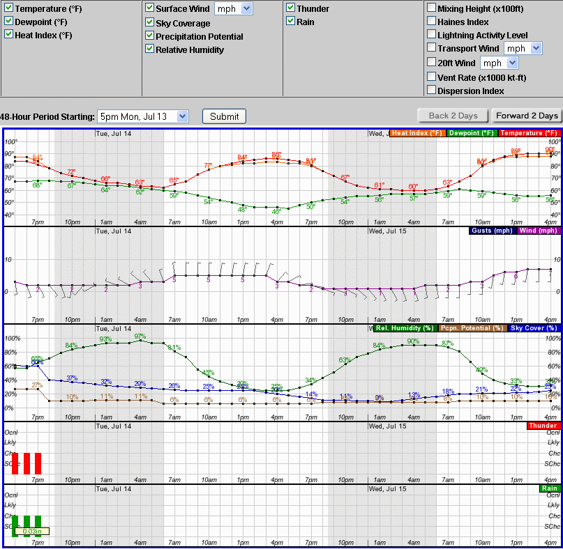
Forecast Graph
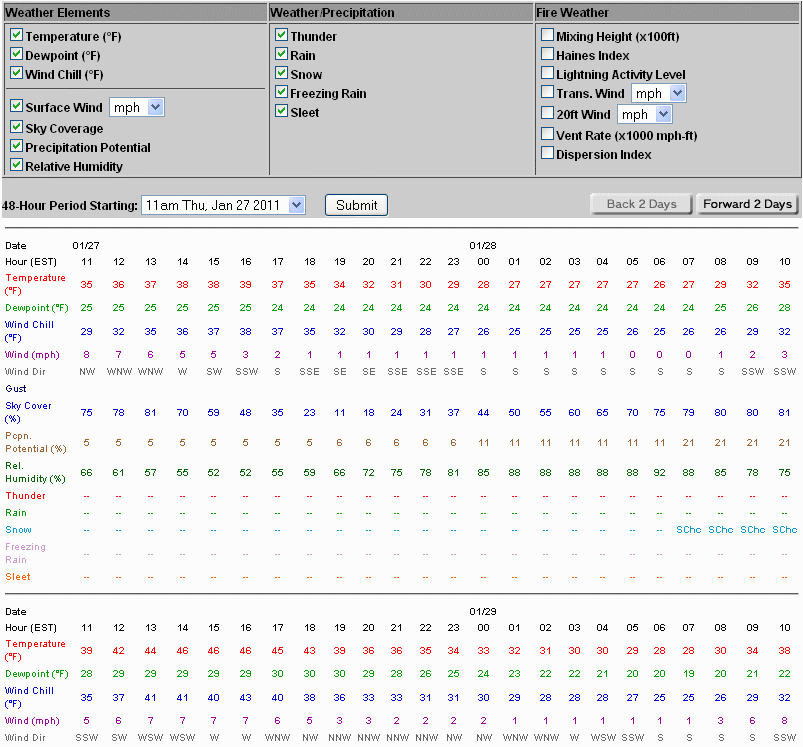
Forecast Table
Forecast Images
NOAA Nautical Charts - Mid Atlantic
NOAA Marine Weather Portal
Watch/Warning/Advisory Color Definitions
NOAA Tide Predictions for
Virginia
,
Maryland
, and
North Carolina
WFO Wakefield, VA Home Page
Weather Term/Abbreviations Glossary
NOAA Sunrise/Sunset Web Site
Marine Observations
as of
Location
UTC TIME
Air Temp
(°F)
Water Temp
(°F)
Wind
(DIR/SP/Gust)
Pres
(mb)
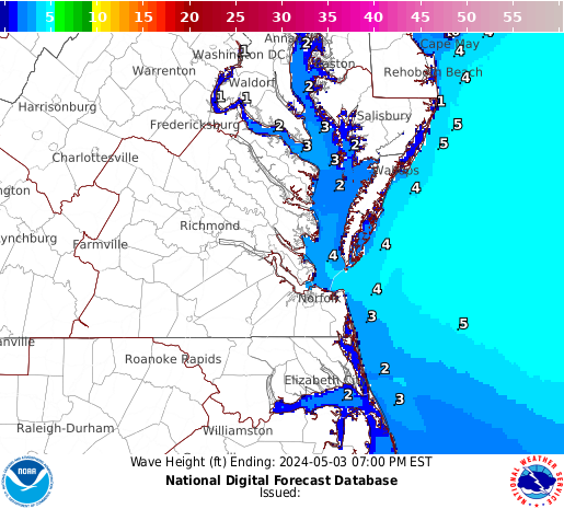
Wave&Swell
(HT/PER)
Click to enlarge
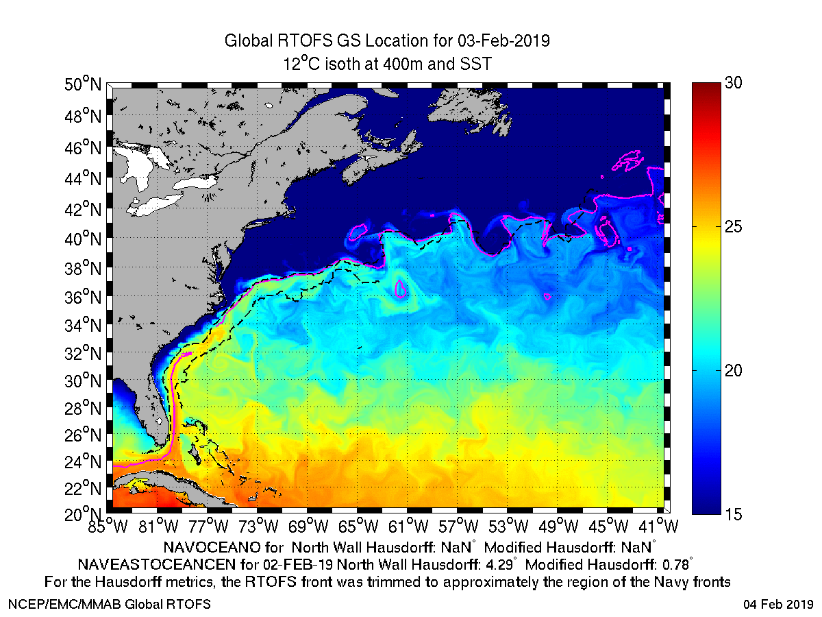
NCEP SST Analysis
Gridded Offshore Winds
Duck NC to Oyster VA
Oyster VA to Cape Henlopen DE
Local Marine Forecast
Model Graphics
Wind Probability Graphs
(Experimental)
Regional Observations
Land and Water (map)
Marine Observations
Bay and Ocean (text)
National Data Buoy Center (NDBC)
Chesapeake Bay Interpretive Buoys
Chesapeake Bay
PORTS® Observations
Northern Bay (Text)
Northern Bay (Map)
Southern Bay (Text)
Southern Bay (Map)
Other Text Products
Area Forecast Discussion
Marine Weather Warnings
Marine Weather Statement
Coastal Flood Watches and Warnings
Rip Current Forecast
Issued May 15 to October 1
NOAA Tsunami Info
Radar
Current Weather
Rivers & Lakes
Satellite
Forecast Maps
Hour by Hour Forecast
Tropical Weather
Graphical Hazards
Briefings
Marine Forecasts
Forecaster's Discussion
SKYWARN
Submit Storm Report
Climate Data
Fire Weather
Beach & Surf
Coastal Flood
Heat
Follow us on X
Follow us on Facebook
AKQ RSS Feed


 Coastal Flood
 Heat
Heat