National Weather Service United States Department of Commerce

Periods of Heavy Rain and Snow Continue from California through the Northern Rockies; Multiple Rounds of Ice and Snow to Impact a Large Part of the Northeastern States into Next Week

Moderate to heavy rain with a flooding risk will continue for northern and central California, with heavy mountain snow in the Sierras, southern Cascades, and northern Rockies through Friday. A series of winter storms will track from the Upper Midwest to off the Northeast U.S. coast into next week bringing rounds of moderate to locally heavy rain south of their track and ice and snow to the north. Read More >

RAZORBACK TRACON Situational Awareness Display/Web Brief


Southern MS Valley Radar Mosaic (updated every 10 minutes):
SRX RADAR Base Reflectivity
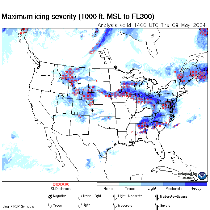
Current CIP Analysis (Maximum Icing Probability BLW FL300)
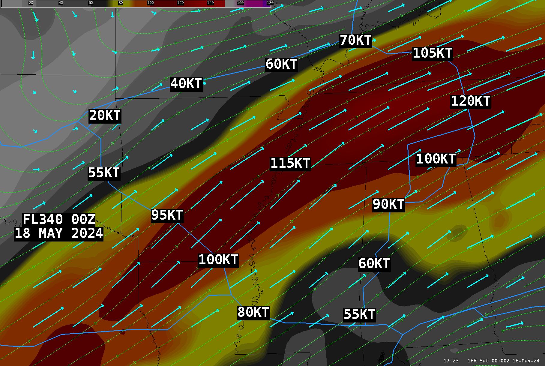
FL340 WINDS:
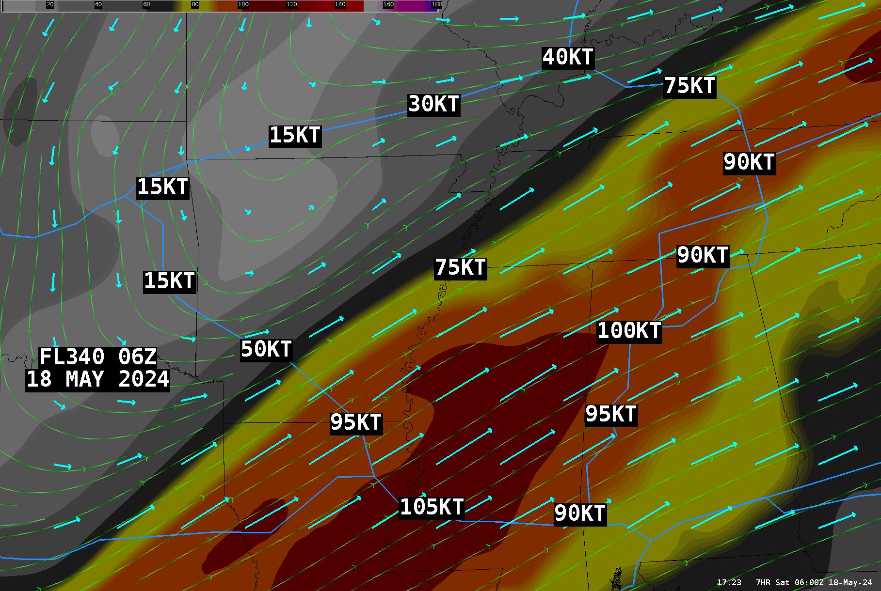
FL340 WINDS (6-HR FCST):
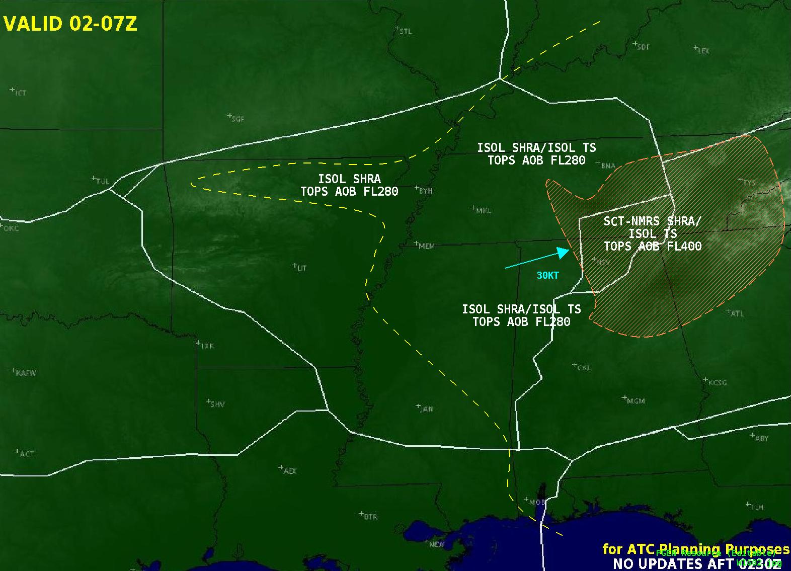
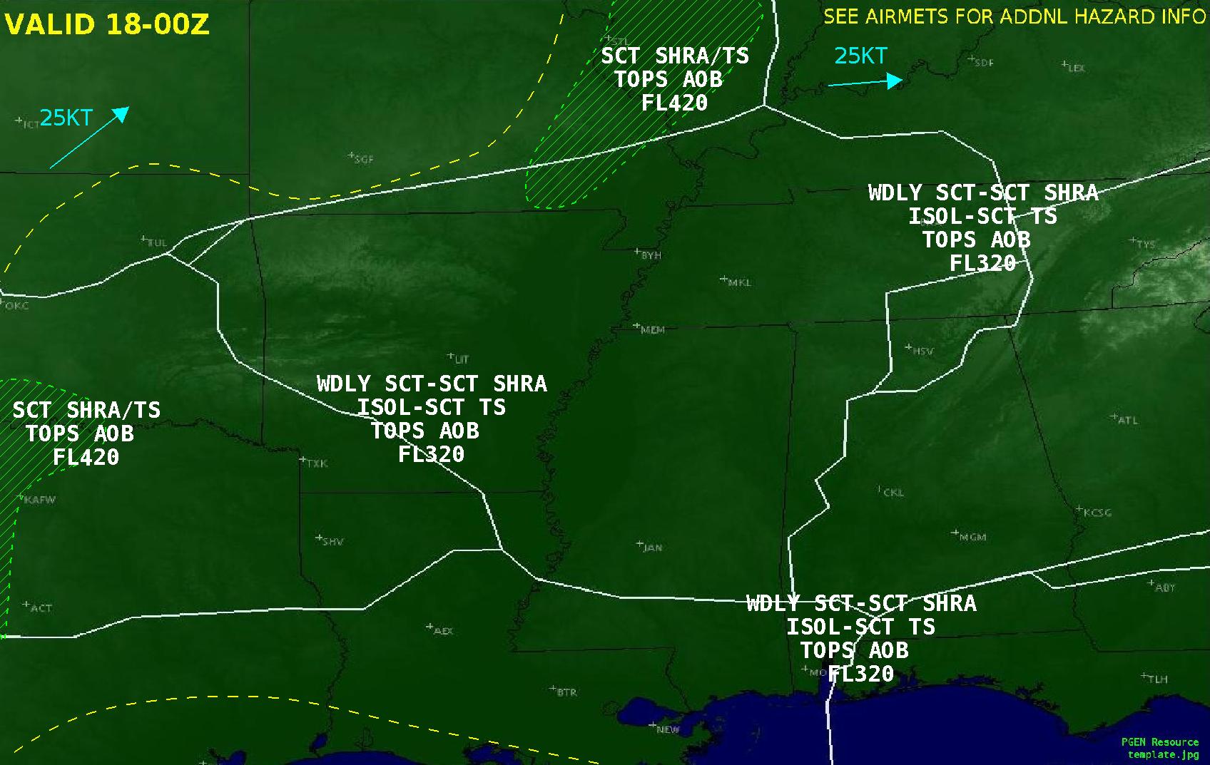
Weather Impact Graphic panel 1
Weather Impact Graphic panel 2
Click to Magnify: 
Freezing Level Legend
9000ft Winds Legend

Latest Winds/AIRMETs/TSTM Forecasts  Allow a few seconds to load--hit refresh to update.

Surface Winds / Current
Surface Winds / 3 Hour Fcst
Surface Winds / 6 Hour Fcst
3000 Foot Winds / Current
3000 Foot Winds / 3 Hour Fcst
3000 Foot Winds / 6 Hour Fcst
6000 Foot Winds / Current
6000 Foot Winds / 3 Hour Fcst
6000 Foot Winds / 6 Hour Fcst

Current Surface Map
Surface Prog / 12 Hour Fcst
Surface Prog / 24 Hour Fcst
Surface Prog / 36 Hour Fcst
Surface Prog / 48 Hour Fcst
Current TURB PIREPS

SPC TSTM Outlook
4 Hour TCF (Mar-Oct only)
Convective SIGMETs

Current Products Issued by CWSU Memphis

Latest MIS and CWA

WATCHES, WARNINGS, CLIMATE

Current Watches and Warnings/Severe Weather Outlook    Current Warnings in effect nationwide

   Hourly Conditions/Regional Observations

Regional Highs/Lows/Normals

Latest Aviation Discussion