Lake effect snow will impact the Great Lakes region through the day. Gusty winds will pick up across the Midwest, Northeast and Mid-Atlantic beginning this afternoon following a cold front. Elevated fire weather conditions will persist across the Desert Southwest today, with critical fire weather conditions developing Wednesday and Thursday in the Southern Plains. Read More >
Memphis
Center Weather Service Unit
| BNA TRACON Situational Awareness Display/Web Brief |


|
|
|
|
|
|
WIND FORECAST
Use slider on left to choose altitude
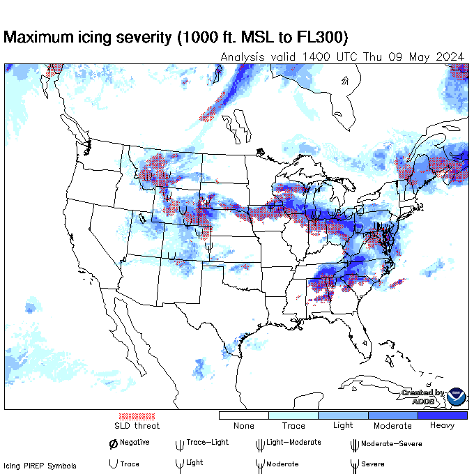
Latest AIRMETs/TSTM Forecasts Allow a few seconds to load--hit refresh to update.
Current Products Issued by CWSU Memphis
Current CWAs (No Updates 9:30PM to 5:30AM)
WATCHES, WARNINGS, CLIMATE
Current Middle TennesseeWatches and Warnings/Radar Severe Weather Outlook Current Warnings in effect nationwide
US Dept of Commerce
National Oceanic and Atmospheric Administration
National Weather Service
Memphis
3229 Democrat Road
Memphis, TN 38118
Comments? Questions? Please Contact Us.

