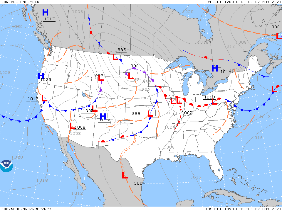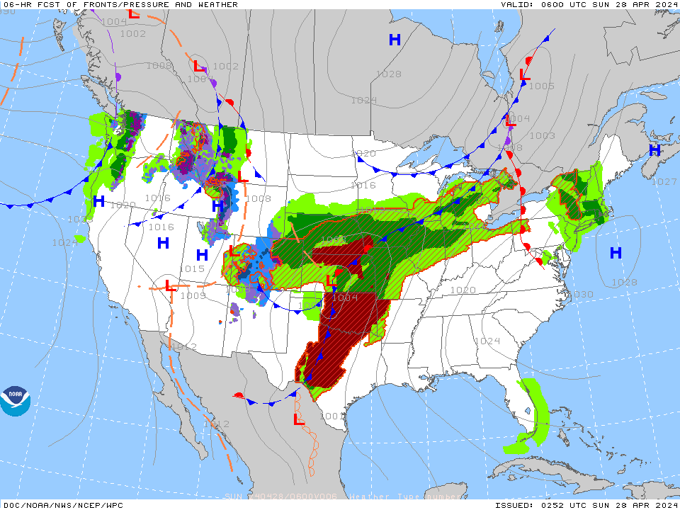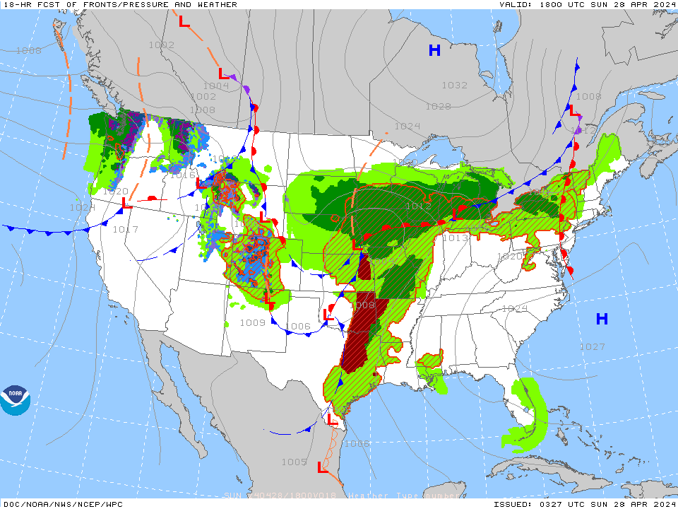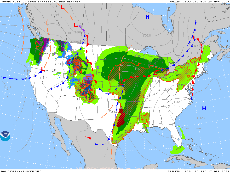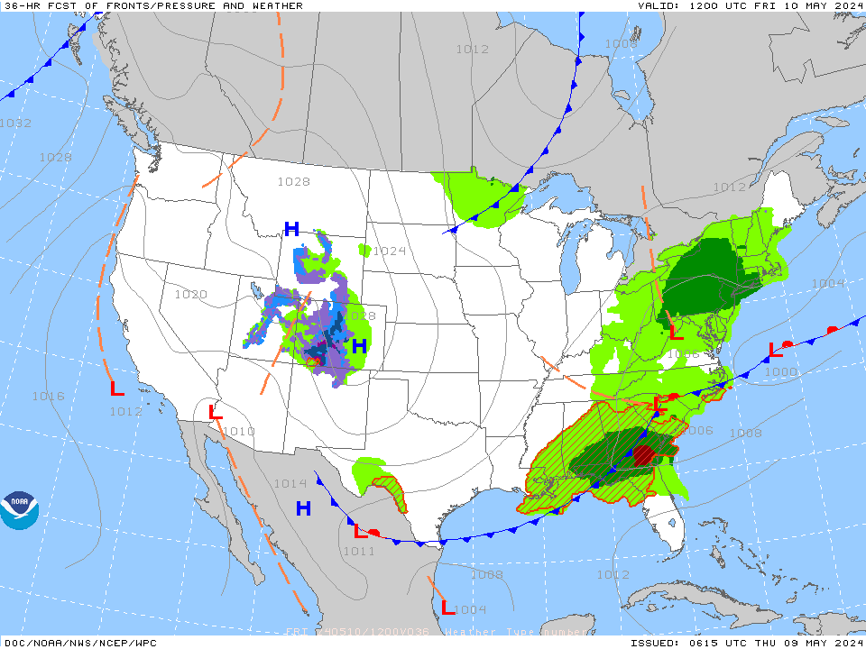
Thunderstorms, some severe, may produce heavy to excessive rainfall and isolated flooding over portions of the Southern Plains today and Saturday. Dry conditions, combined with gusty winds and low relative humidities will continue to support an elevated to critical fire weather threat in the Desert Southwest into to early next week. Read More >
Memphis
Center Weather Service Unit
MEMPHIS TRACON PAGE
TACTICAL DECISION AID/TAFs/METARs
WIND FORECAST
Use slider on left to choose altitude
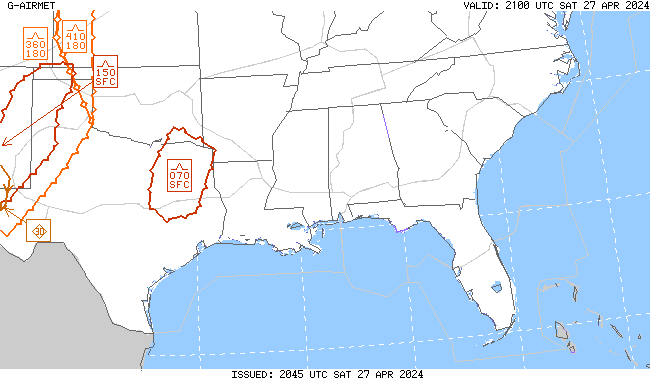
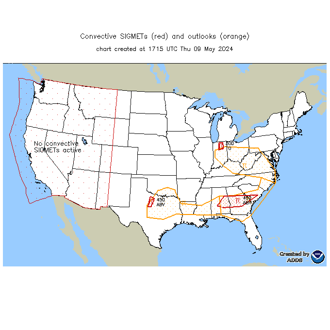
Latest AIRMETs/TSTM Forecasts Allow a few seconds to load--hit refresh to update.
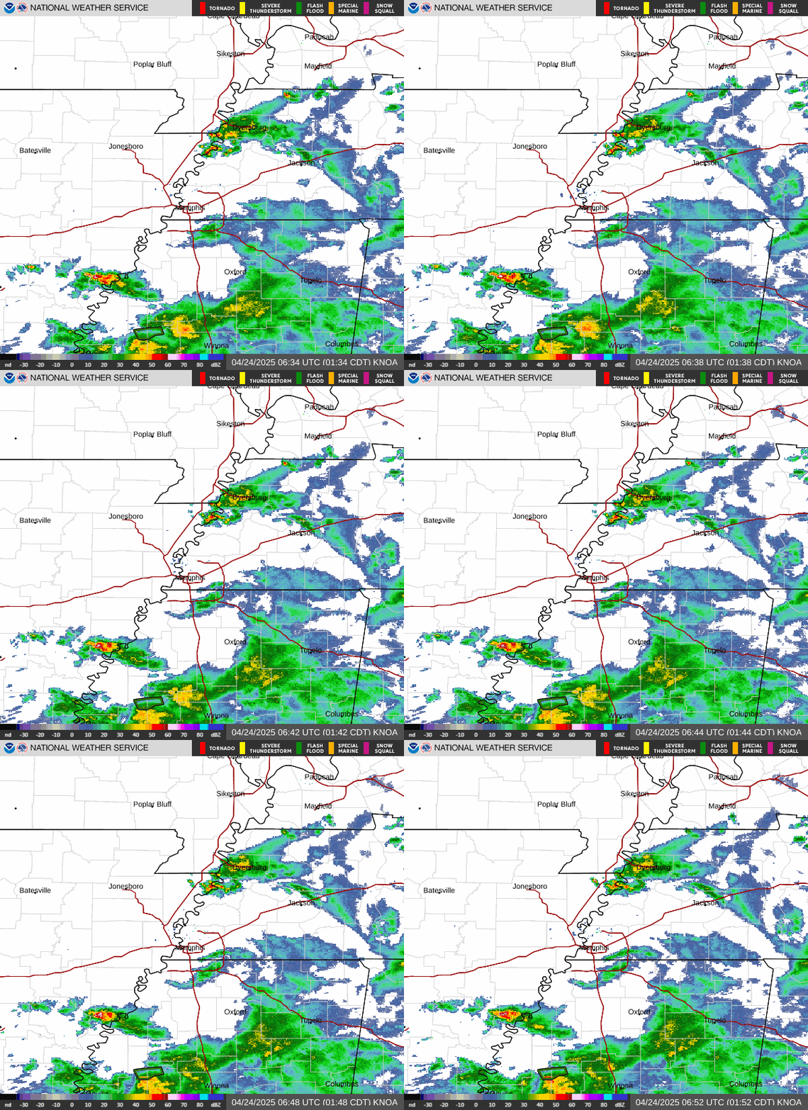
Memphis Radar
 >
>
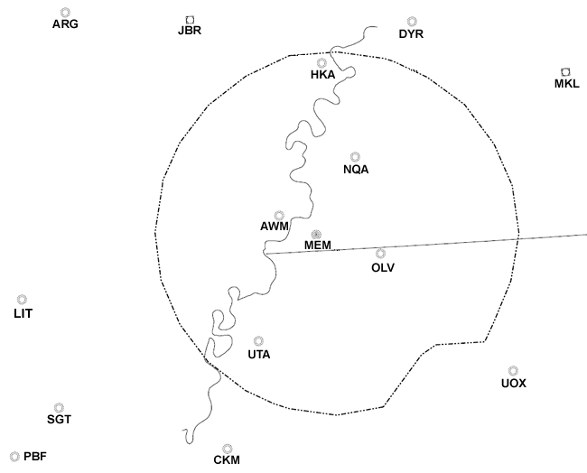
METAR observations in the terminal areas. Click on 3-letter ID for current obs.
MISC Products
MIS and CWA (No Updates 9:30PM to 5:30AM)
LOCAL FORECAST
WATCHES, WARNINGS, CLIMATE
Current Mid-south Watches and Warnings Severe Weather Outlook Current Warnings in effect nationwide
page concept thanks to Eric Avila/Robert Mobbs
US Dept of Commerce
National Oceanic and Atmospheric Administration
National Weather Service
Memphis
3229 Democrat Road
Memphis, TN 38118
Comments? Questions? Please Contact Us.


