
Severe thunderstorms are forecast through this weekend along a slow moving cold front and secondary storm system that will impact areas from the southern Plains to the Great Lakes. Large hail and isolated damaging wind gusts are the main threats with these storms along with a risk for heavy to excessive rainfall which could bring flooding. Read More >
Memphis
Center Weather Service Unit
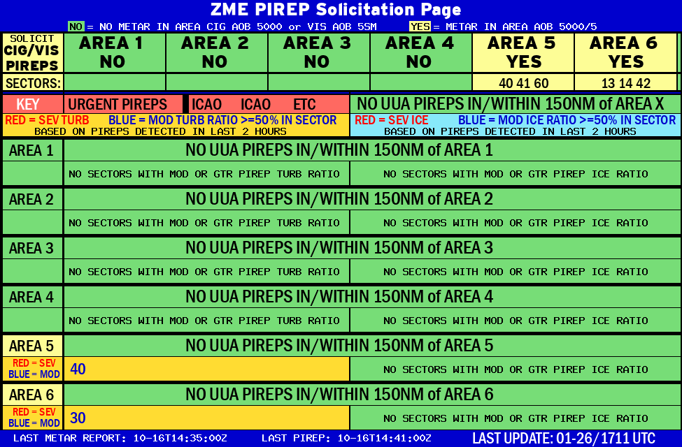 |
AREA 1 |
AREA 2 |
AREA 3 |
AREA 4 |
AREA 5 |
AREA 6 |
|
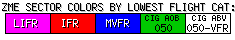
Lo Sectors Hi Sectors UH Sectors TRACONs Icing: Lo Sectors Hi Sectors UH Sectors TRACONs CIG/VIS: METARs By Sector TRACONs PIREPs: |
|
 |
 |
 |
 |
Plotted Pireps are updated every 5 minutes, for all flight levels and include Pireps from 2 hours previous.
Click on the PIREP icons to get more information.
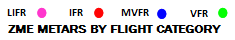
The map is displaying PIREPs using the following icons:
|
|
|
|
|
US Dept of Commerce
National Oceanic and Atmospheric Administration
National Weather Service
Memphis
3229 Democrat Road
Memphis, TN 38118
Comments? Questions? Please Contact Us.


