
Gusty winds and very dry conditions will lead to a critical to extremely critical fire weather threat over portions of the Central and Southern Plains Thursday. Critical fire weather continues through Friday. Moderate to heavy mountain snow and strong winds will expand into the Northern Rockies Thursday, then into Colorado by Friday. Up to a foot of snow accumulation is possible. Read More >
Houston CWSU
Center Weather Service Unit
Houston CWSU » Radar Imagery
| Other Radar Links | Precipitation Analysis | Radar Archive |
| National Radar Map Radar Map Zoomed to KIAH College of Dupage Radar Radar Coded Message Tops Radar Intro and FAQs |
Precipitation Analysis - AHPS | Iowa Environmental Mesonet Iowa State University NCEI GIS Radar Data Portal |
| Coastal Texas Radars Click for full-screen image | |||||
| Houston/Galveston | Corpus Christi | Brownsville | |||
 |
 |
 |
|||
| Interior Texas Radars Click for full-screen image | |||||
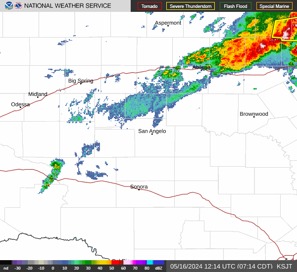
| Austin/San Antonio | Central Texas | Dallas/Forth Worth | Laughlin AFB | San Angelo | Midland/Odessa |
 |
 |
 |
 |
 |
 |
| Louisiana/Mississippi/Alabama Radars Click for full-screen image | |||||
| Lake Charles, LA | Fort Polk, LA | Shreveport, LA | New Orleans, LA | Jackson, MS | Mobile, AL |
 |
 |
 |
 |
 |
 |
| Regional Composite Radar Imagery Click for full-screen image | |||||
| Southern Plains | Southern MS Valley | ||||
 |
 |
||||
| National Mosaic Radar Click for full-screen image | |||||
 |
|||||
US Dept of Commerce
National Oceanic and Atmospheric Administration
National Weather Service
Houston CWSU
16600 JFK Blvd
Houston, TX 77032
Comments? Questions? Please Contact Us.

