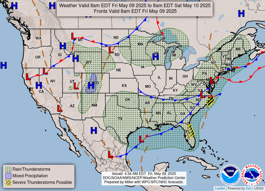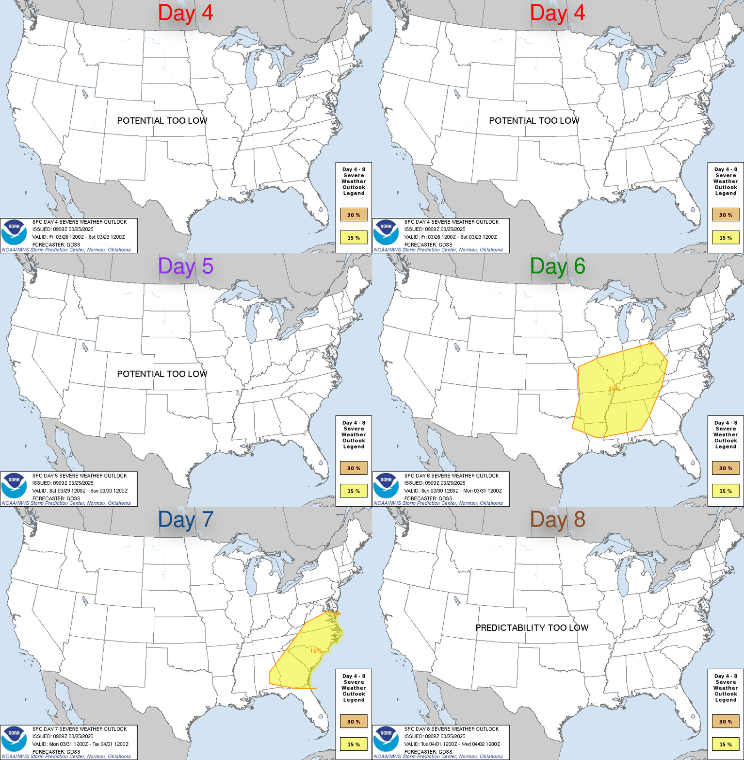
Severe thunderstorms are expected from the Northeast to Texas through the night and for the Central/Southern Plains on Friday. Considerable flooding impacts are ongoing in the Upper Great Lakes, and expected to continue through the weekend. Fire weather concerns persist in the Plains and the mid-Atlantic. There is late-season snow over the Northern/Central Rockies and the Northern Plains. Read More >
Washington CWSU
Center Weather Service Unit


US Dept of Commerce
National Oceanic and Atmospheric Administration
National Weather Service
Washington CWSU
Washington ARTCC Center Weather Service Unit
825 East Market Street
Leesburg, VA 20176-4496
703-771-3480
Comments? Questions? Please Contact Us.

