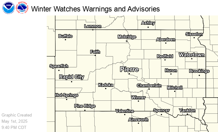
Interactive Hazard Map and Regional Radar
To view hazards legend: Stop the loop, step to the end, and use the alerts drop-down. View full radar page here.
Click here for a static hazards map.
Briefings
These show only if there are active briefings.
Rapid City
Aberdeen
Sioux Falls
Winter Reports
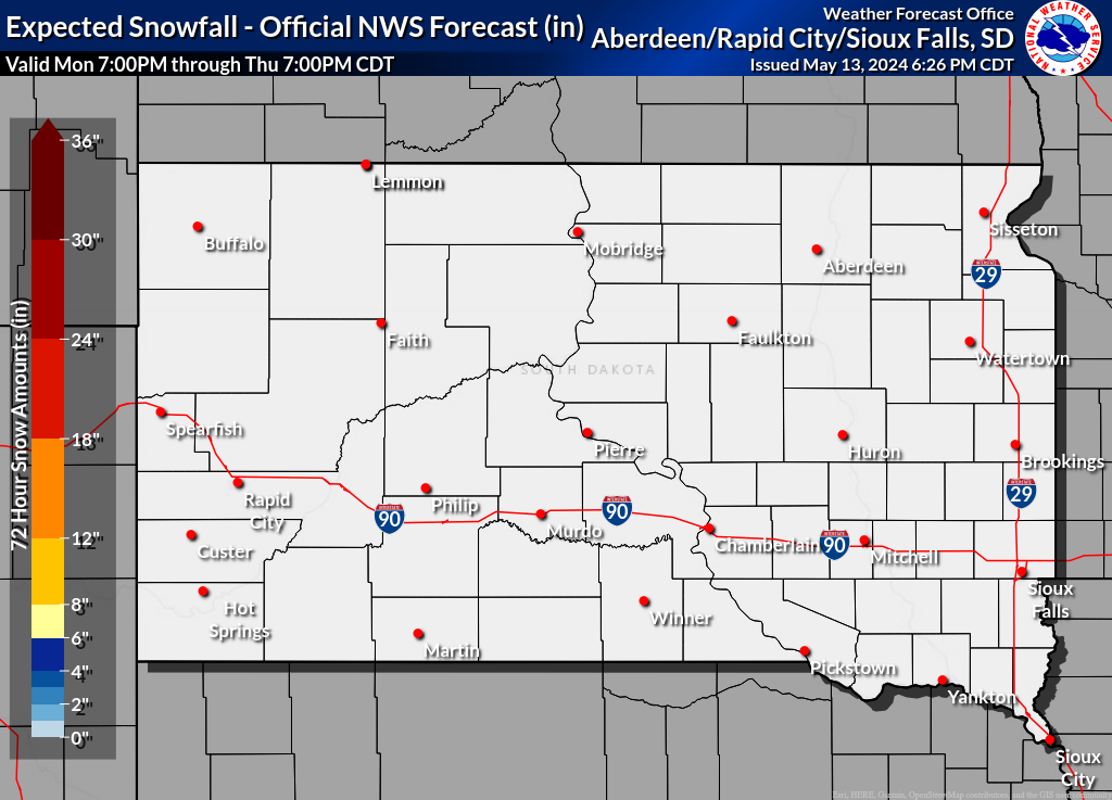
Interactive Snowfall Map
Public Information Statements: Rapid City | Aberdeen | Sioux Falls
River Flooding
Open in New Tab
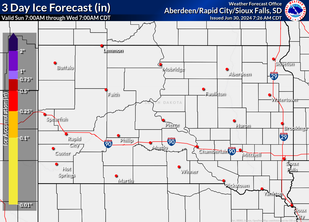
Precipitation Forecast
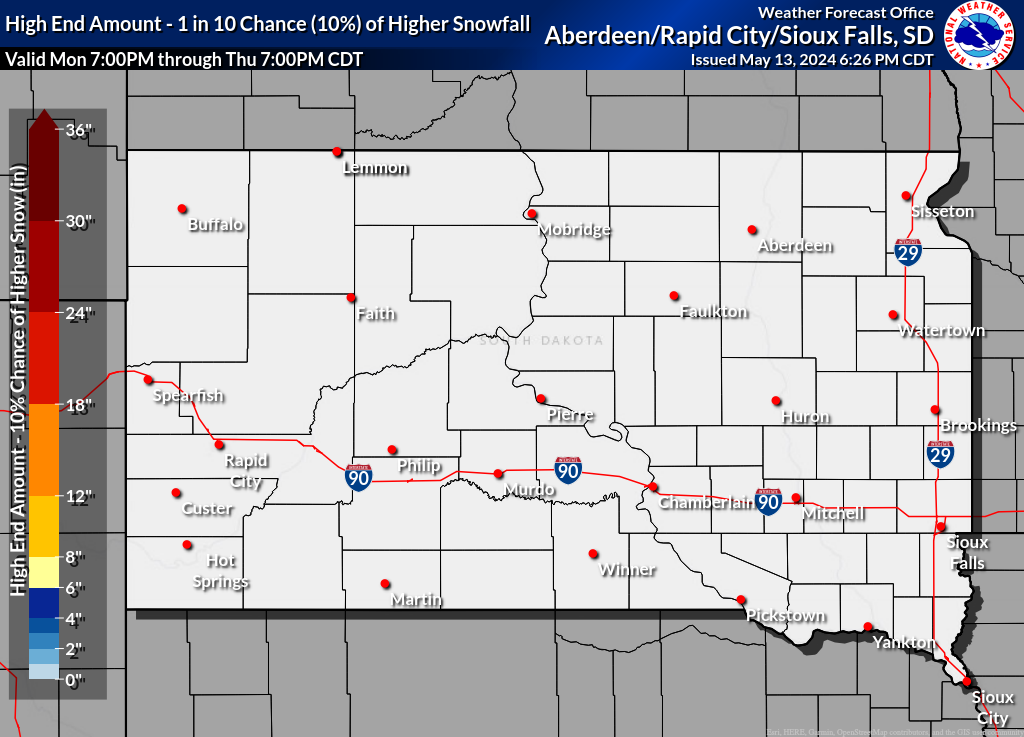
Range of 3-Day Snowfall Possibilities
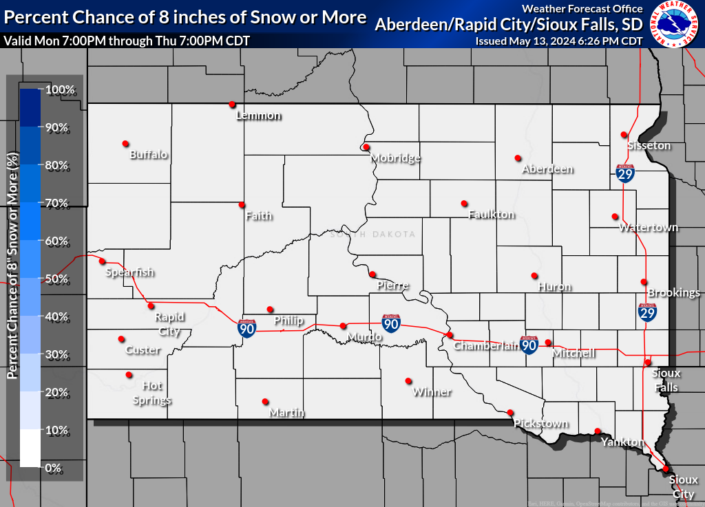
Probability of Snow Amounts
Maximum Wind Gusts
Additional Weather Elements
(mouse over day or period to see map below)
| Max Temperature |
Day 1 |
Day 2 |
Day 3 |
Day 4 |
Day 5 |
|||||
| Min Temperature |
Day 1 |
Day 2 |
Day 3 |
Day 4 |
Day 5 |
|||||
| Min Rel Humidity |
Day 1 |
Day 2 |
Day 3 |
Day 4 |
Day 5 |
|||||
| Wind Chill |
Period 1 |
Period 2 |
Period 3 |
Period 4 |
Period 5 |
Period 6 |
Period 7 |
Period 8 |
Period 9 |
|
| Max Wind Gust |
Period 1 |
Period 2 |
Period 3 |
Period 4 |
Period 5 |
Period 6 |
Period 7 |
Period 8 |
Period 9 |
|
| Chance of Precip |
Period 1 |
Period 2 |
Period 3 |
Period 4 |
Period 5 |
Period 6 |
Period 7 |
Period 8 |
Period 9 |
|
 |
||||||||||
Hourly Weather
Smoke and Air Quality
Hazard Mapping System Fire and Smoke Product
Northern Plains Air Quality
Local Air Quality from Airnow.gov


