These images are updated once an hour around the bottom of the hour (+30 min).
Current Weather Hazards
|
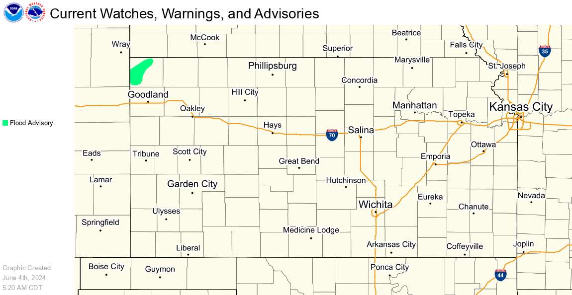
All Current Watches, Warnings, and Advisories |
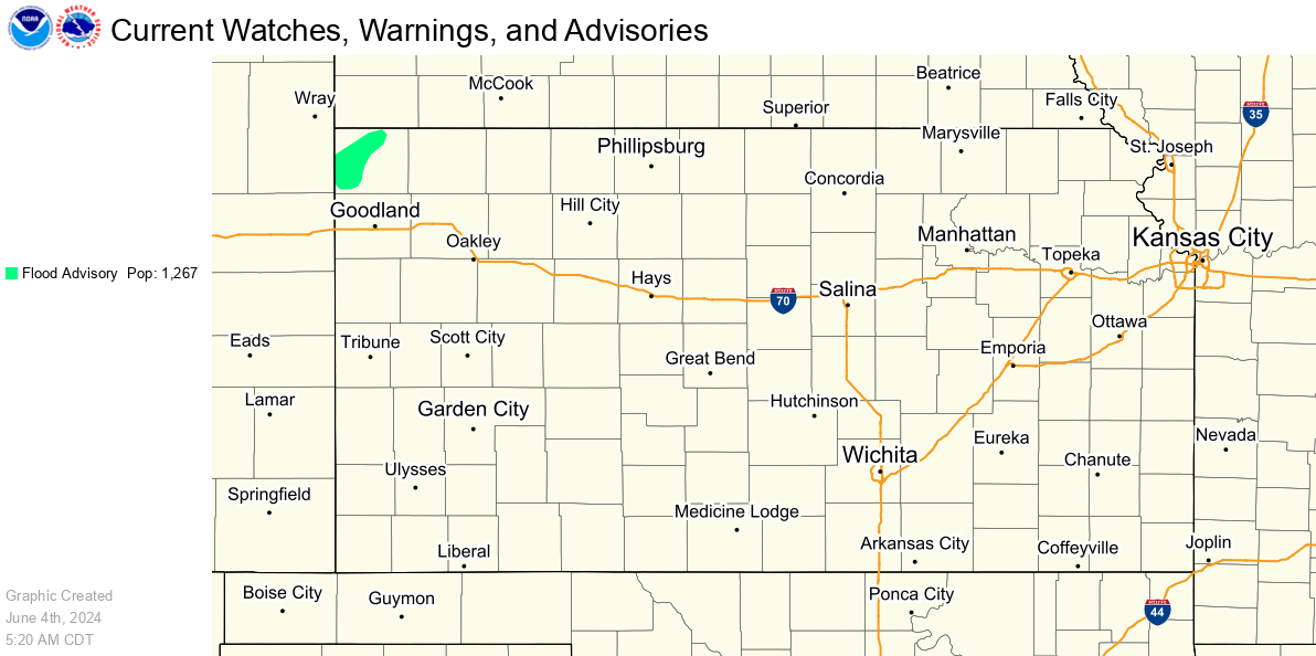
All Current Watches, Warnings, and Advisories w/ Population Stats |
Specific Hazards
|
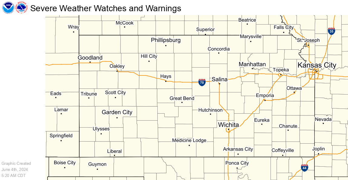
Severe Weather Hazards |
Winter Weather Hazards |
|
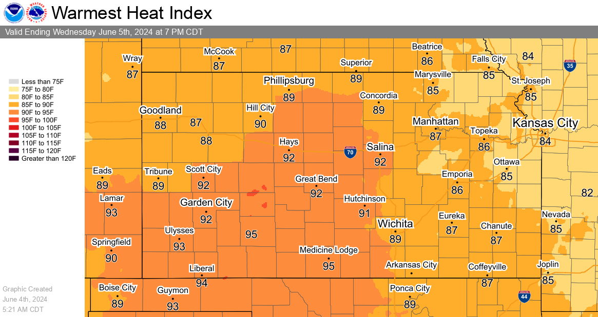
Heat Hazards |
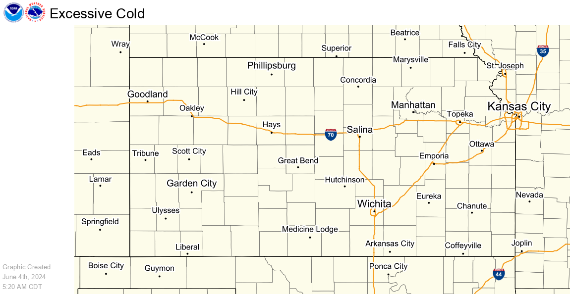
Cold Hazards |
|
Flooding Hazards |
Frost/Freeze Hazards |
|
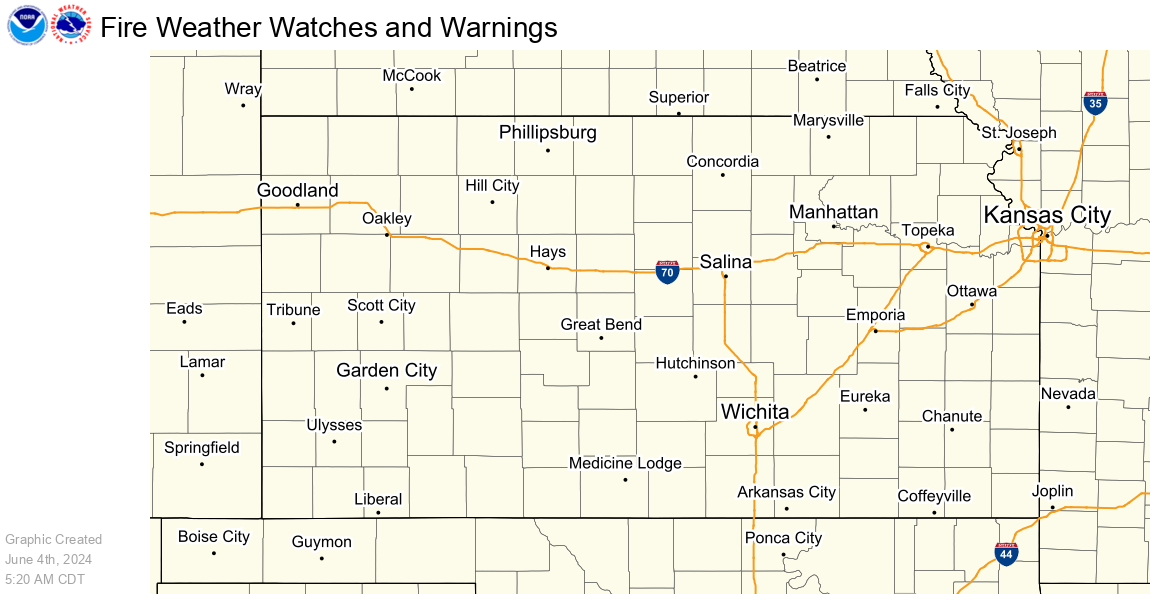
Fire Weather Hazards |
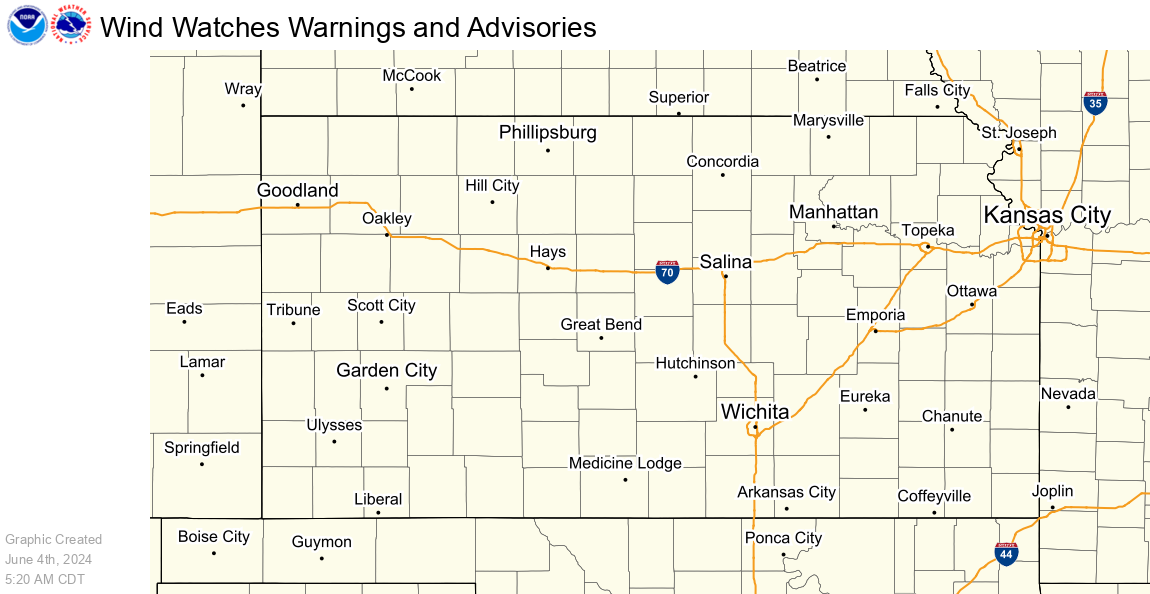
Wind Hazards |
|
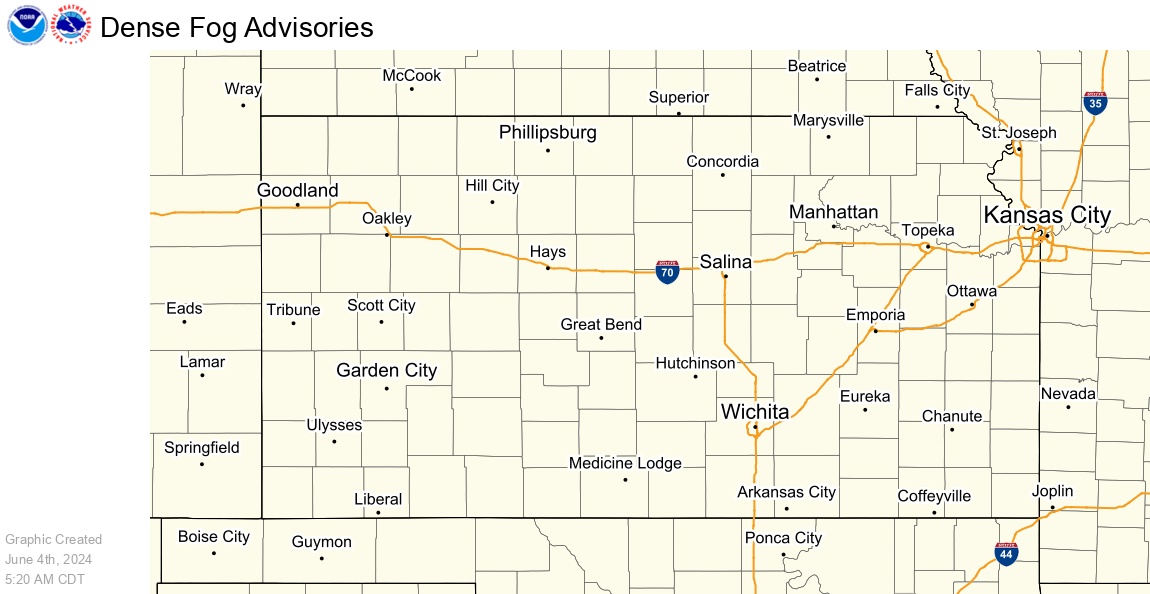
Fog Hazards |
|
Snow, Ice and Wind Chill Graphics
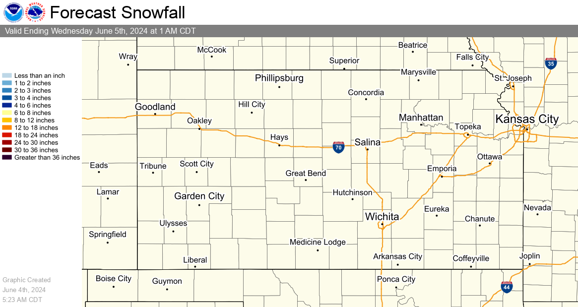
Snowfall
Snowfall accumulation measured in six hourly periods, starting at 12am, 6am, 12pm, and 6pm CST (+1 CDT).
|
12 Hour Snow Accumulation Forecast |
24 Hour Snowfall Accumulation Forecast |
|
48 Hour Snow Accumulation Forecast |
72 Hour Snow Accumulation Forecast |
Observed Snowfall/Depth
Observed snowfall graphics are updated once a day at 6am CST (7am CDT). For more frequent updates, visit our Local Snow Reports Page.
An interactive map of the maps below is also available here.
|
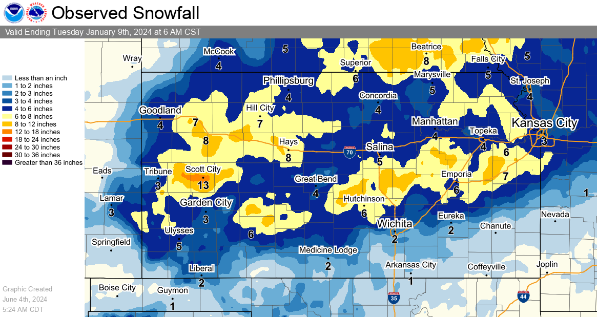
Yesterday's Accumulated Snowfall |
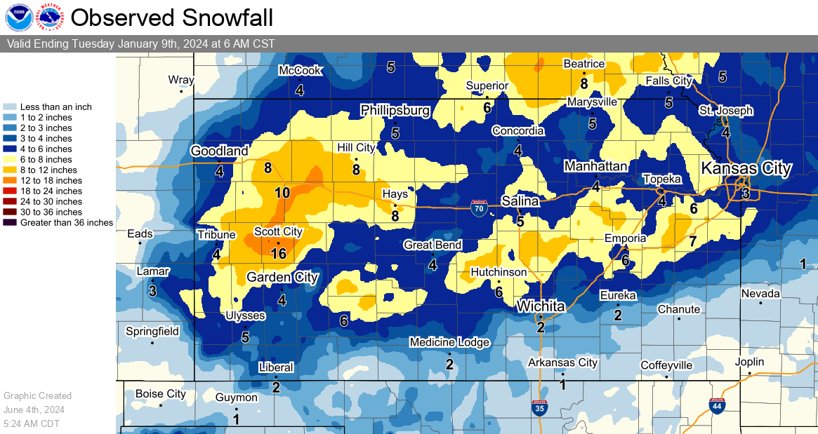
Two Day Accumulated Snowfall |
|
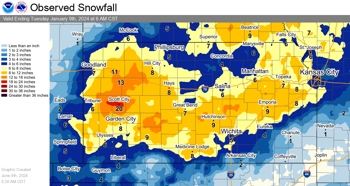
Seven Day Accumulated Snowfall |
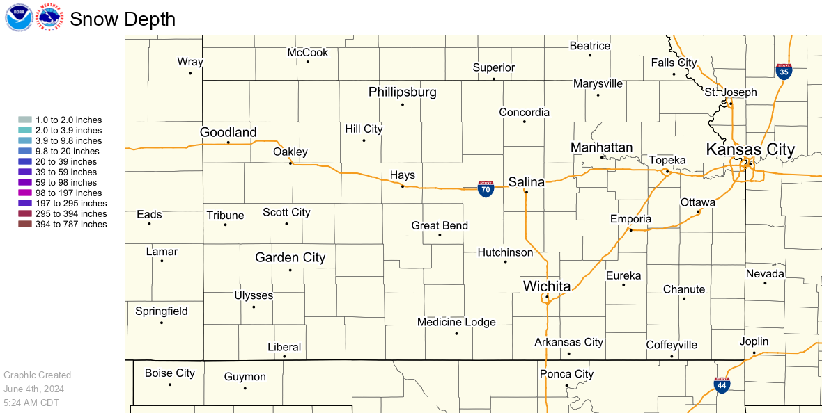
Current Snow Depth |
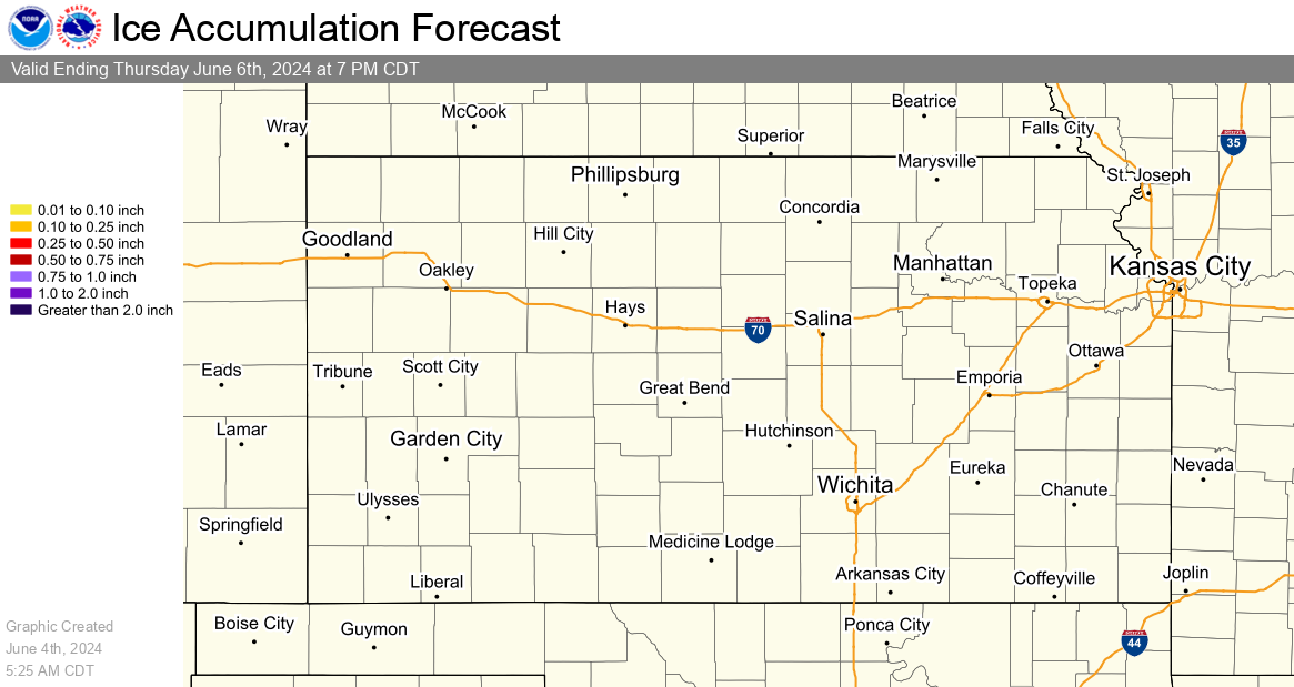
Ice
Ice accumulation measured in six hourly periods, starting at 12am, 6am, 12pm, and 6pm CST (+1 CDT).
|
12 Hour Ice Accumulation Forecast |
24 Hour Ice Accumulation Forecast |
|
48 Hour Ice Accumulation Forecast |
72 Hour Ice Accumulation Forecast |
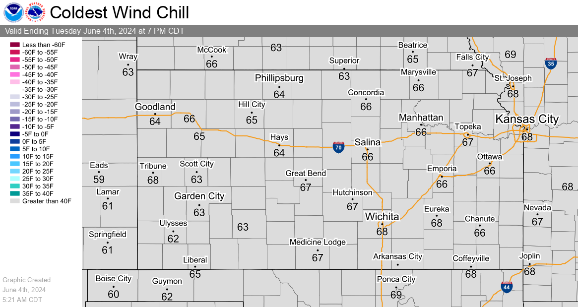
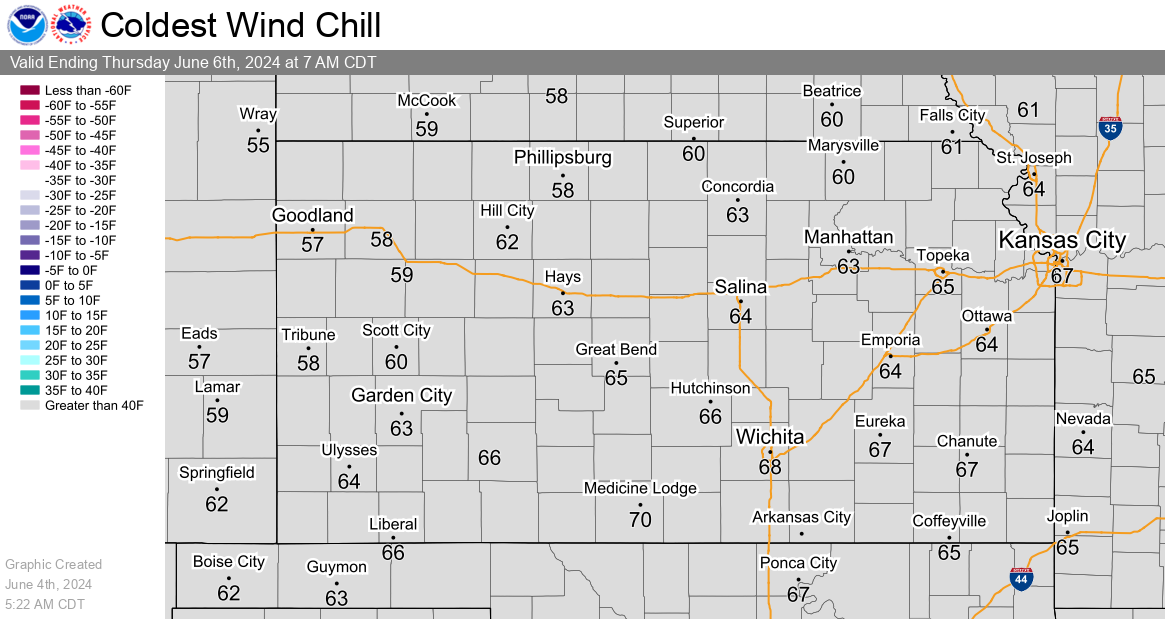
Wind Chill
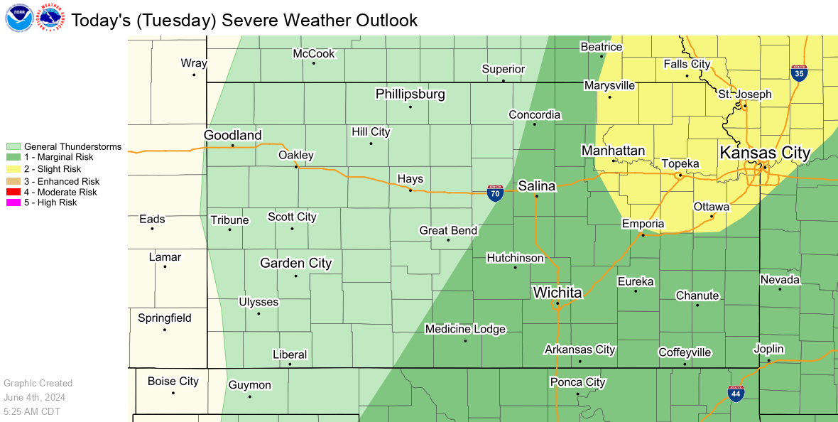
Severe Weather Graphics
SPC Day 1 Outlook
|
SPC Day 1 Severe Weather Outlook |
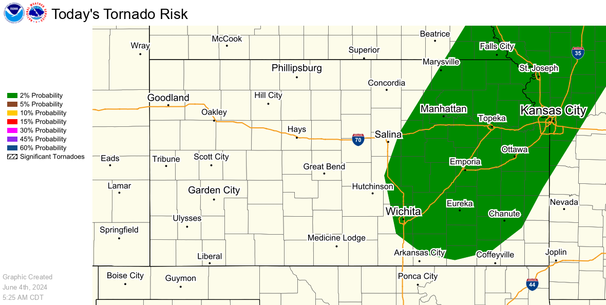
SPC Day 1 Tornado Outlook |
|
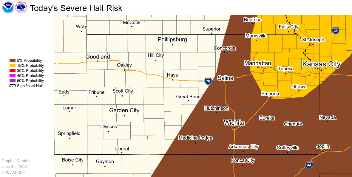
SPC Day 1 Hail Outlook |
SPC Day 1 Wind Outlook |
SPC Day 2 and 3 Outlooks
|
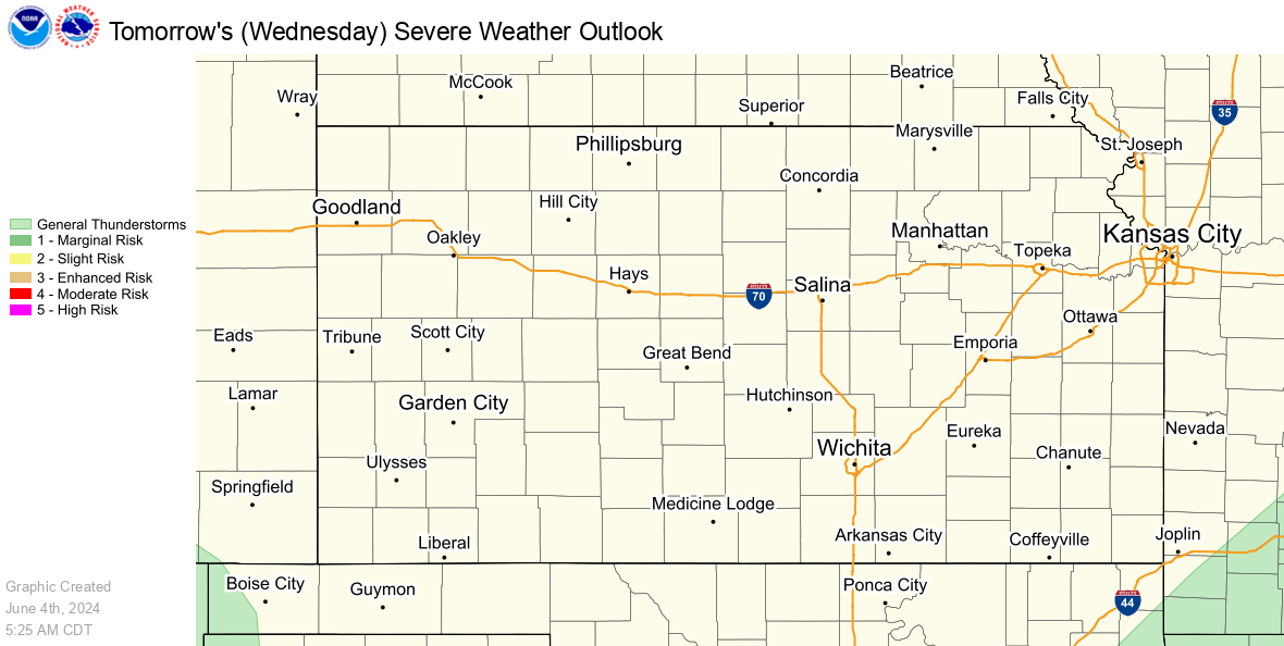
SPC Day 2 Severe Weather Outlook |
SPC Day 3 Severe Weather Outlook |
Precipitation Graphics
Rainfall Forecasts
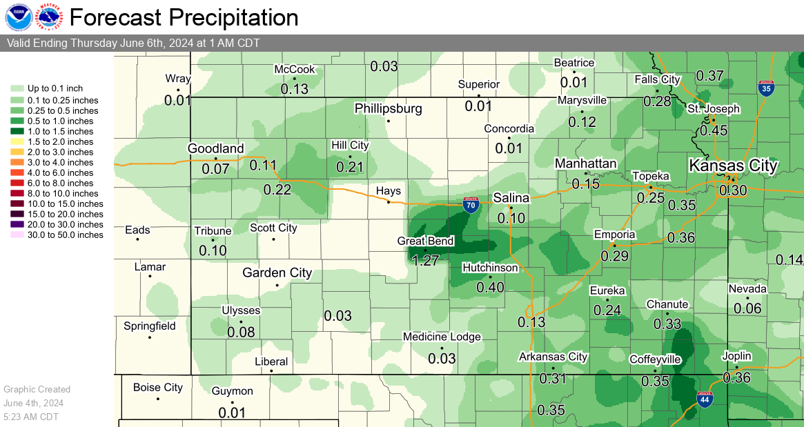
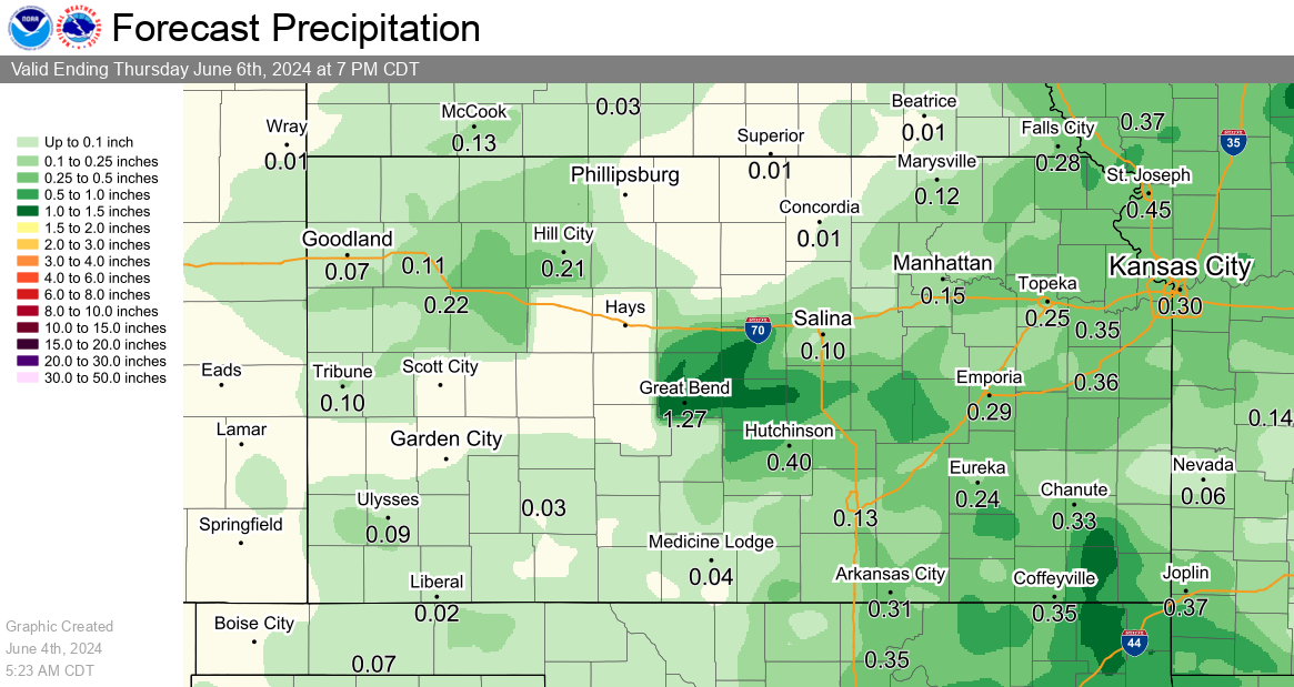
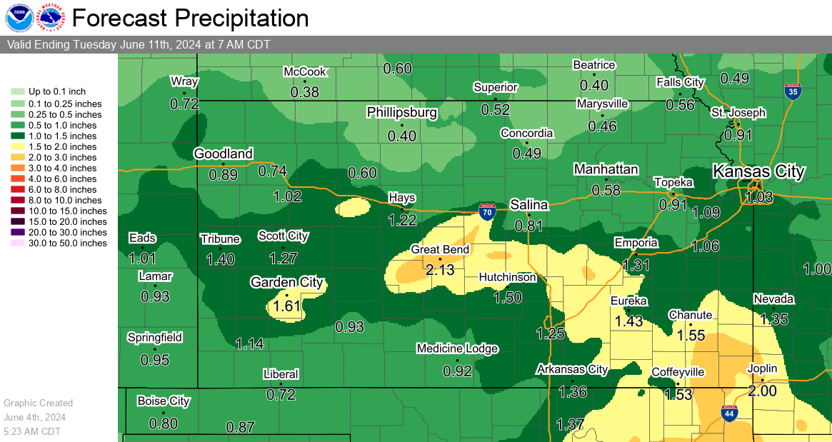
Precipitation accumulation measured in six hourly periods, starting at 12am, 6am, 12pm, and 6pm CST (+1 CDT).
|
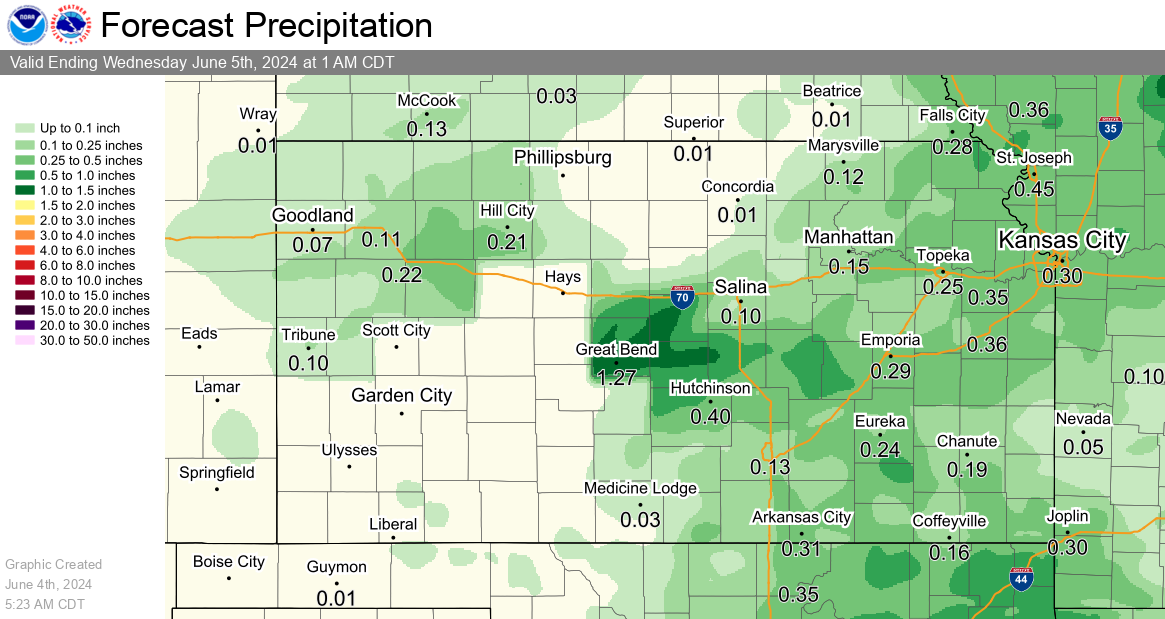
24 Hour Rainfall Forecast |
2 Day Rainfall Forecast |
|
3 Day Rainfall Forecast |
7 Day Rainfall Forecast |
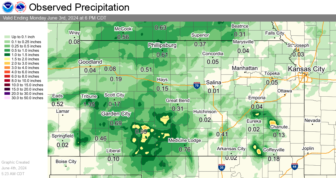
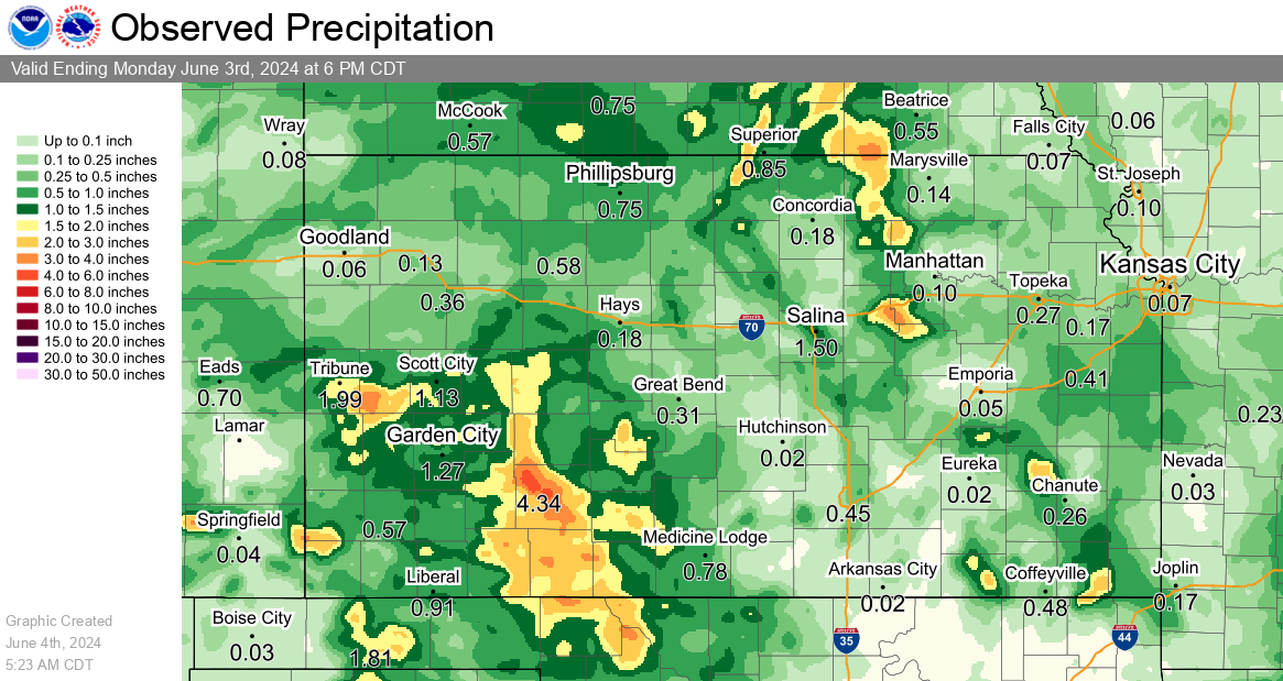
Observed Precipitation
|
Previous 24 Hours of Precipitation |
Previous 72 Hours of Precipitation |
Humidity and Wind Graphics
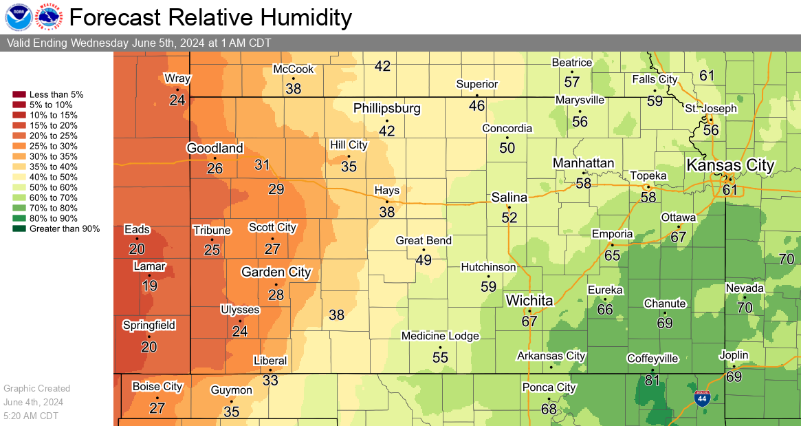
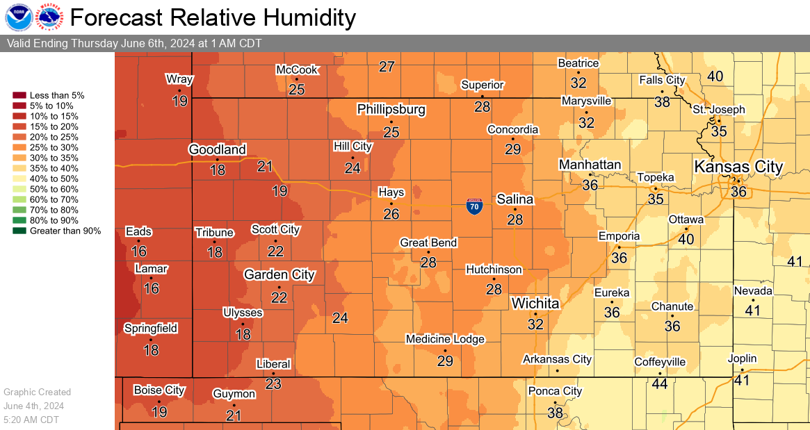
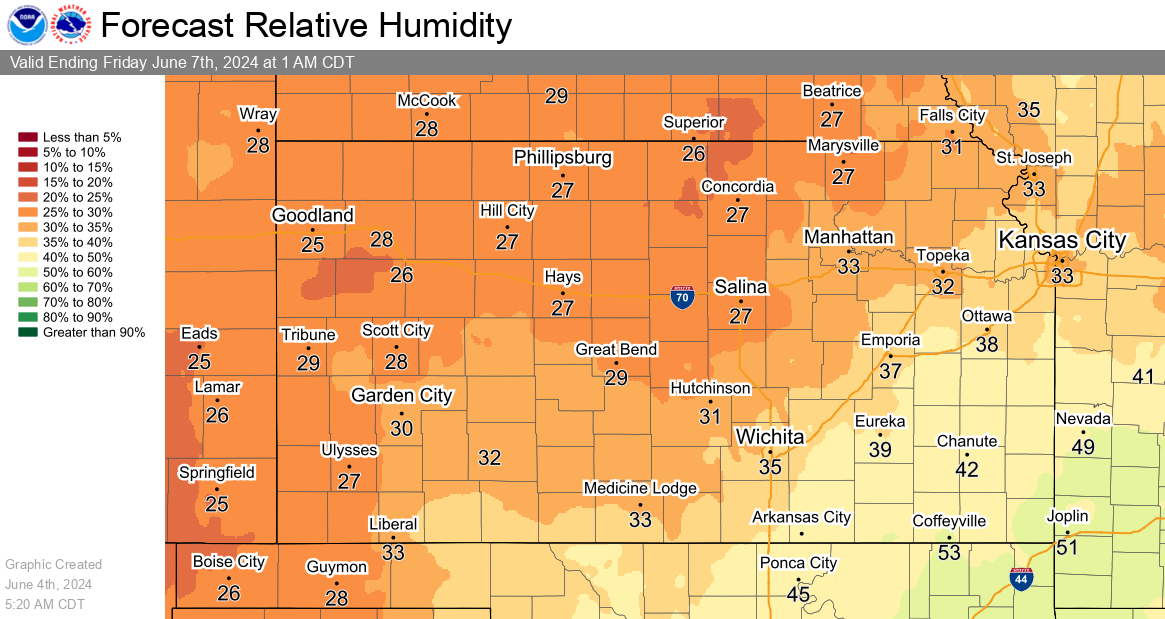
Minimum Relative Humidity Forecasts
|
Today's Minimum Relative Humidity Forecast |
Tomorrow's Minimum Relative Humidity Forecast |
|
Day 3 Minimum Relative Humidity Forecast |
|
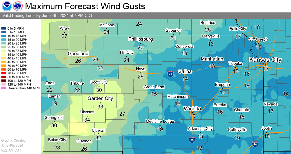
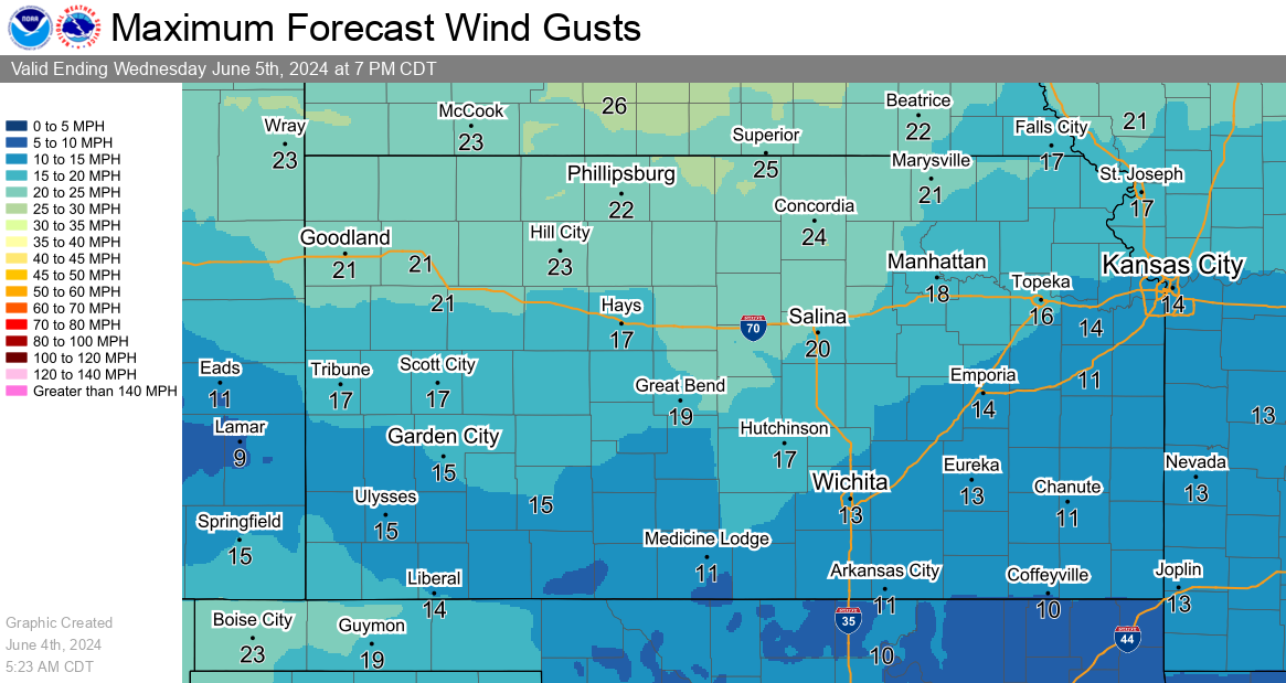
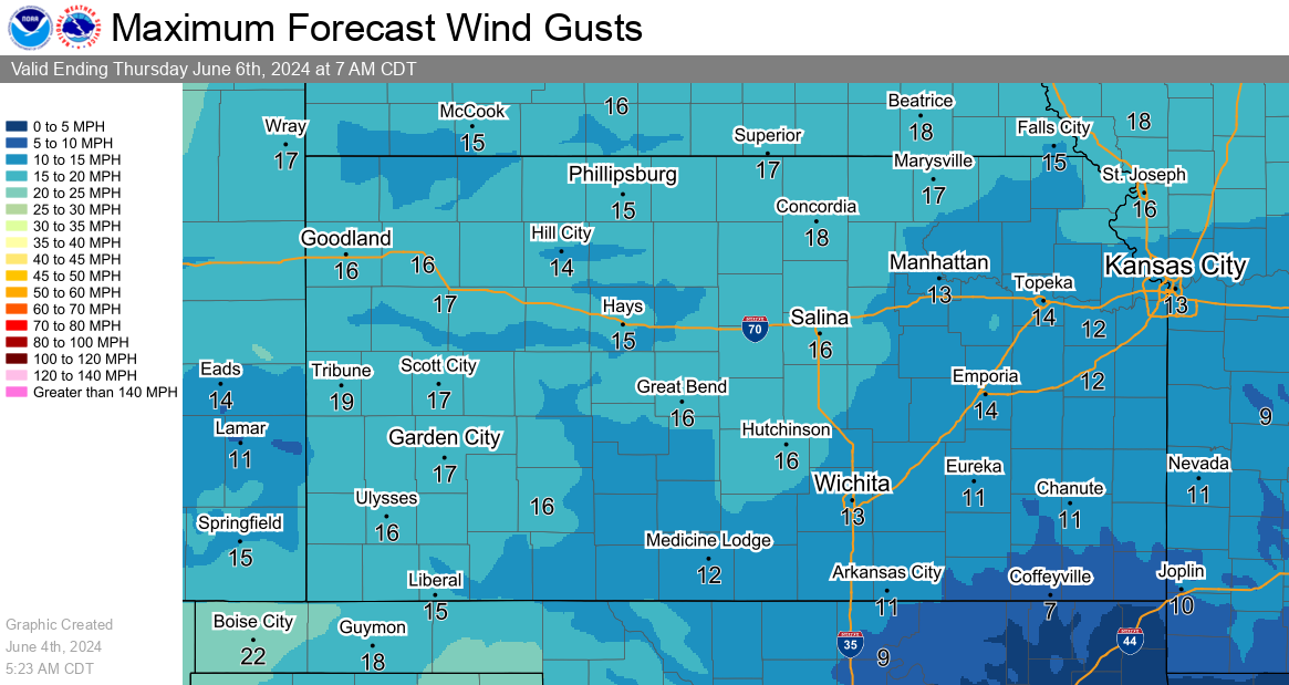
Maximum Wind Gust Forecasts
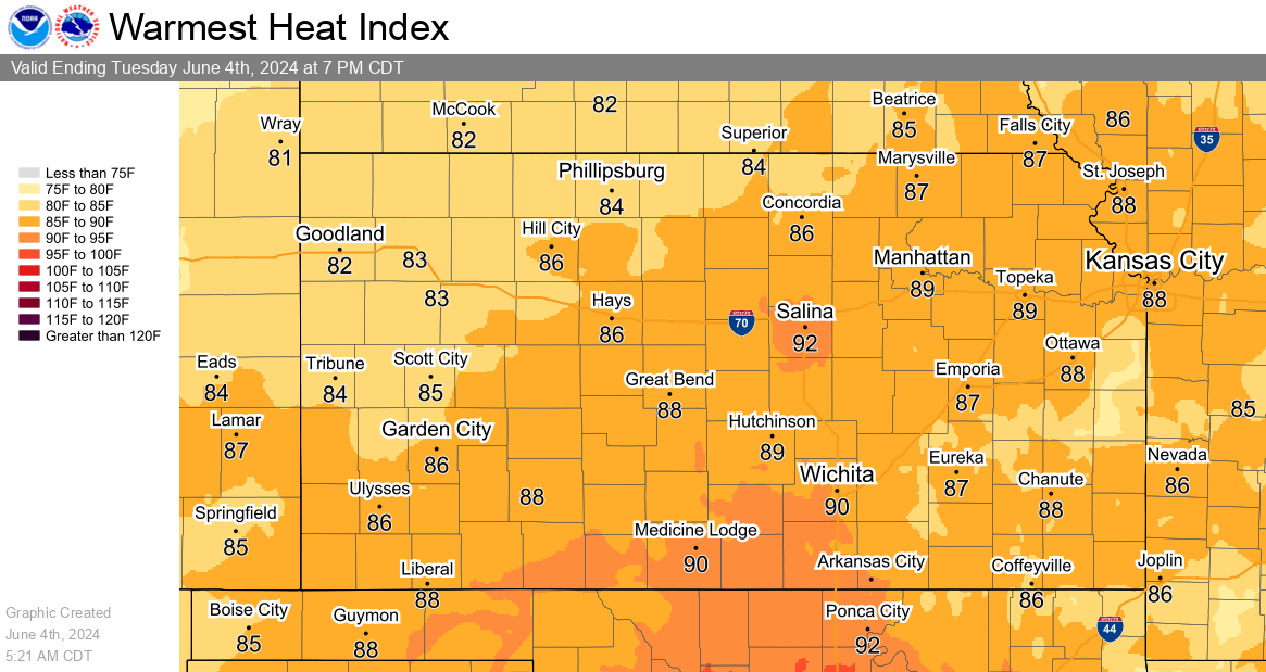
Heat Index Graphics