Topeka, KS
Weather Forecast Office
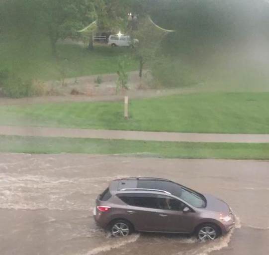
On the afternoon and evening of Monday May 4th 2015, heavy rainfall fell across portions of central and northeast Kansas to the north of a nearly stationary front. The heaviest rainfall fell in the vicinity of Manhattan where considerable flash flooding occurred. Over 3 inches of rain was reported to have fallen in one hour in Manhattan. The Riley County Emergency Manager reported water in downtown Manhattan was 3 feet deep at times and water entered local businesses at the height of the flooding. There were also many streets flooded and instances of vehicles becoming stranded by flood waters.
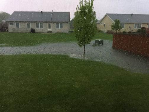
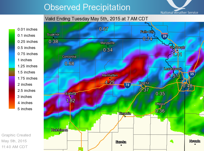
Below are pictures of flooding in and around Manhattan, a map of rainfall estimates across northeast Kansas, as well as some selected rainfall reports from May 4th.
 |
 |
 |
 |
 |
 |
| Estimated 24 hour Rainfall from 7 AM Monday May 4th to 7 AM Tuesday May 5th 2015 |
 |
|
Observed 24 hour rainfall from 7 AM May 4th |
US Dept of Commerce
National Oceanic and Atmospheric Administration
National Weather Service
Topeka, KS
1116 NE Strait Avenue
Topeka, KS 66616-1667
785-234-2592
Comments? Questions? Please Contact Us.

