
Severe thunderstorms are forecast through this weekend along a slow moving cold front and secondary storm system that will impact areas from the southern Plains to the Great Lakes. Large hail and isolated damaging wind gusts are the main threats with these storms along with a risk for heavy to excessive rainfall which could bring flooding. Read More >
Overview
|
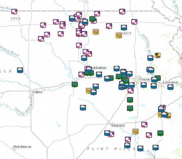
During the early morning hours of the 26th of April severe thunderstorms began to develop across northern KS. A few of these storms produced hail the size of baseballs. Later in the morning the storms went on to produce damaging wind across far northeast KS. The outflow from these thunderstorms became the focus for new convection during the afternoon once the atmosphere was very unstable. Storms became widespread mainly producing large hail, damaging winds, and a few tornadoes. None these tornadoes caused much damage, but the hail and wind did in several locations. The widespread coverage of storms produced heavy rainfall for several hours over the same locations causing localized flash flooding. There were reports of evacuations and swift water rescues mainly in and around Shawnee county. |
 Local Storm Reports |
Wind & Hail:
Hail
 |
 |
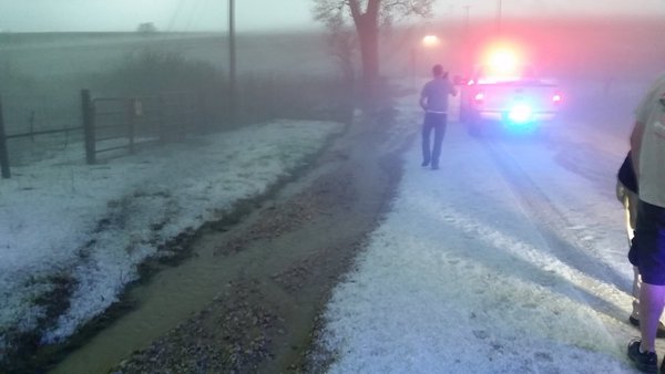 |
| Washington, KS Photo credit: @JungleberryBush | Marshall County Photo credit: Pat Bussmann | Shawnee County Photo credit: ksoldani3 |
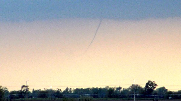
Photos:
 |
 |
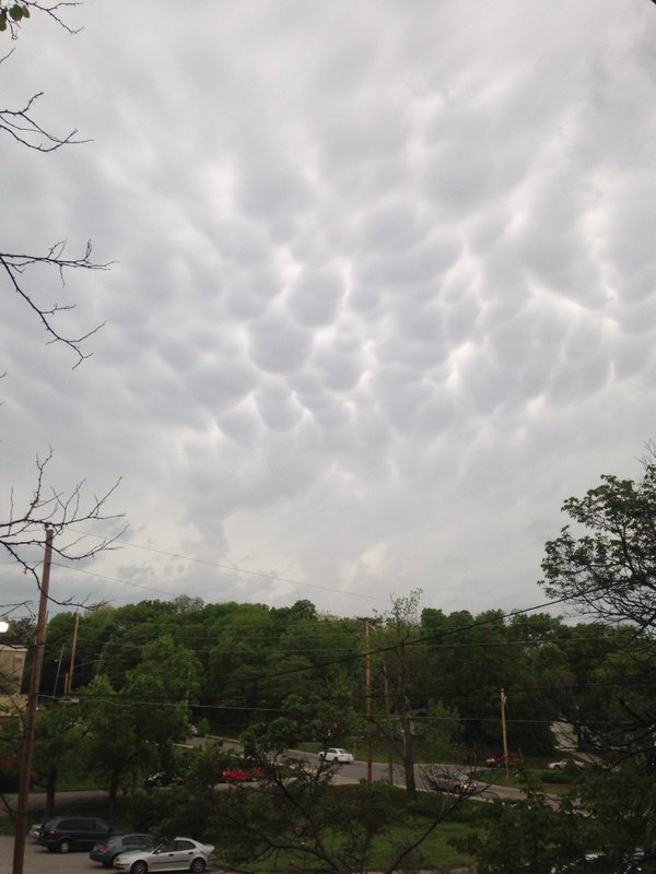 |
| Alta Vista, KS Photo credit: Joey Krastel | Randall, KS Photo credit: Dan Fitts | Lawrence, KS Photo credit: Claire MacLachla |
Radar:
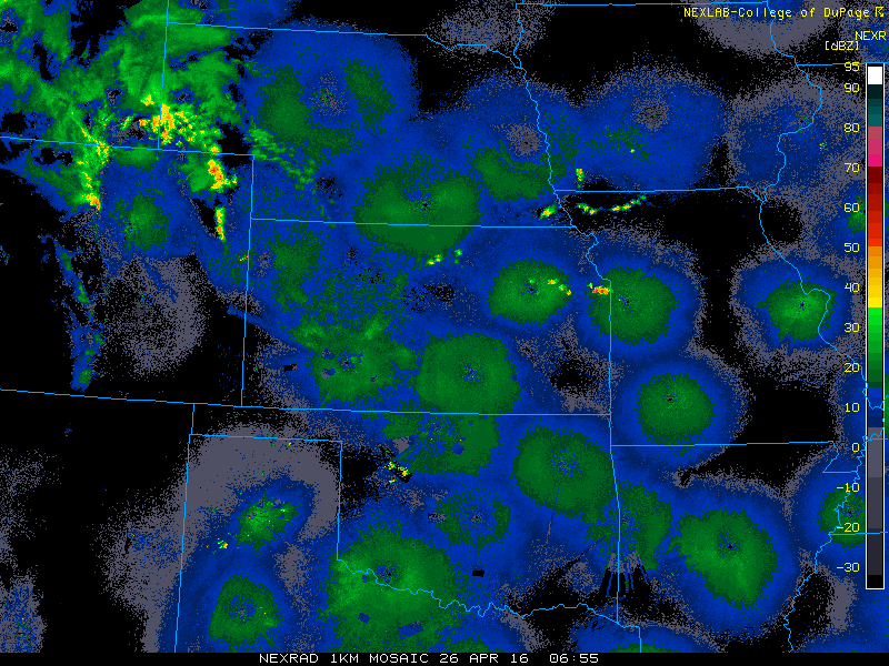 |
| Radar Loop Ending Arpil 27 at 5am CDT |
Estimated Rainfall: 72 hours ending April 27 at 7am CDT

 |
Media use of NWS Web News Stories is encouraged! Please acknowledge the NWS as the source of any news information accessed from this site. |
|

