Life-threatening, potentially catastrophic flash flooding expected along the central Gulf Coast as the remnants of Arthur track across the area. Isolated brief tornadoes and damaging gusts remain possible overnight in the Southeast. Isolated to scattered dry thunderstorms may cause lightning-ignited fires and erratic behavior due to gusty winds across parts of the West Friday. Read More >
Two Rounds of Heavy Snow Impact Northeast Kansas in One Week
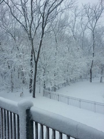
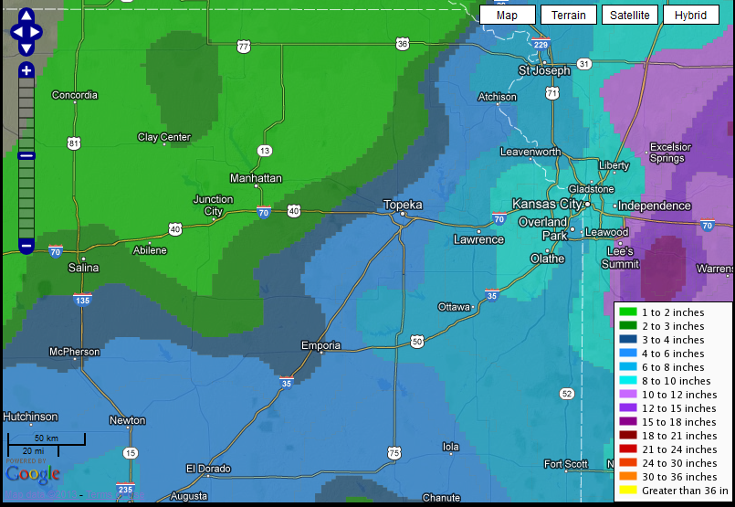
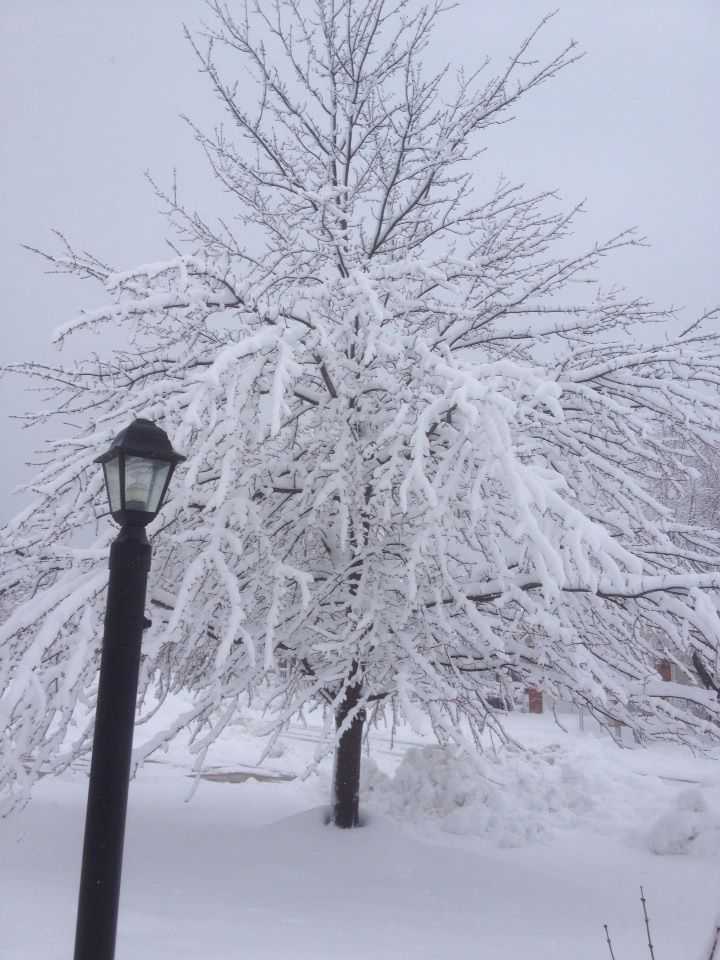
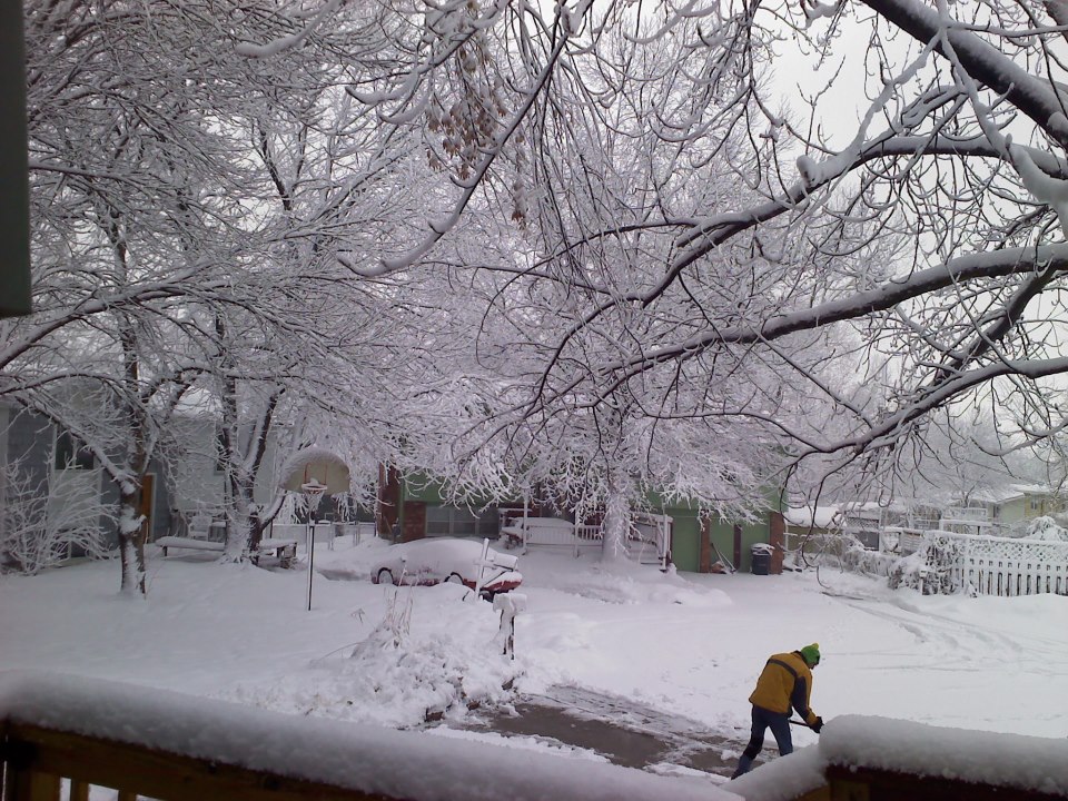
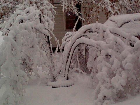
Over the past week, 2 powerful winter storms pummeled Northeast Kansas. Unlike the previous heavy snowfall accompanied by thunder, this storm system brought light to moderate snow that persisted from Monday afternoon through early Wednesday morning. As the expansive upper air disturbance strengthened over northwest Oklahoma into southern Kansas, light to moderate snow bands began to develop across east central Kansas near the Lawrence and Emporia areas as early as Monday afternoon. During the event, the area of surface low pressure tracked slightly further south across Oklahoma, confining the heavier snow bands to near and south of the Kansas Turnpike. As a result a tight gradient of snowfall ranged from 2 inches in Manhattan to near 10 inches in portions of Osage County (see snowfall map below). Even across Shawnee County (Topeka), snowfall totals contrasted from 0.5" in Silver Lake (northern Shawnee county) to 5.5" just southwest of Auburn (southern portion of county). At the Topeka Billard Airport, 3.4" of snow was measured at the end of the event. Here is the link to all snowfall reports and the first Winter Storm from February 21st.
 |
 |
 |
 |
|
|
 |