Overview
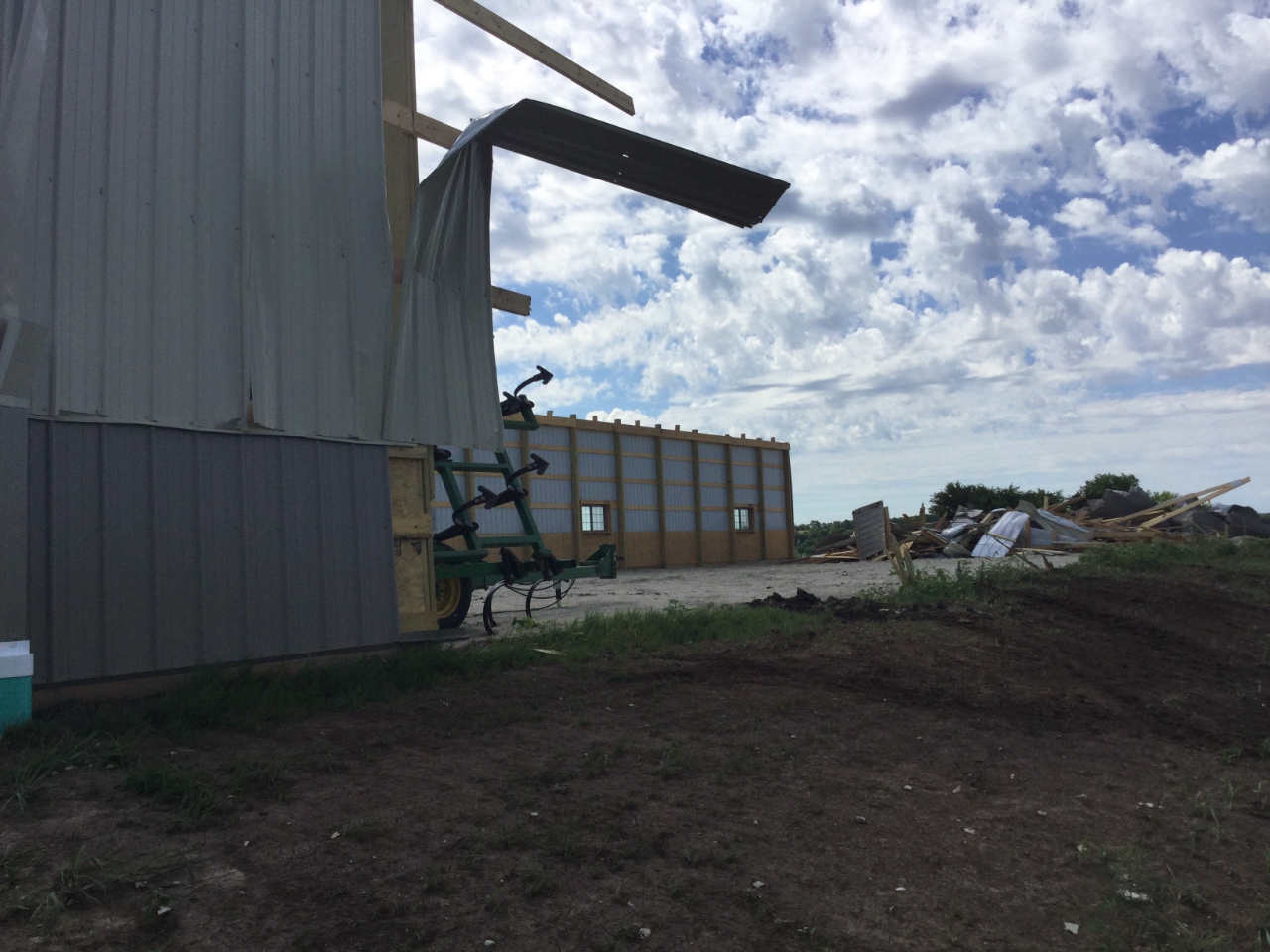
A powerful complex of storms rolled through northeastern Kansas during the overnight hours of June 16 and 17, 2017. In addition to producing very strong winds and hail up to the size of baseballs, one short-lived tornado was documented in central Marshall County.Tornadoes:
|
Tornado - 2.53 miles WNW of Beattie
|
||||||||||||||||
|
||||||||||||||||
The Enhanced Fujita (EF) Scale classifies tornadoes into the following categories:
| EF0 Weak 65-85 mph |
EF1 Moderate 86-110 mph |
EF2 Significant 111-135 mph |
EF3 Severe 136-165 mph |
EF4 Extreme 166-200 mph |
EF5 Catastrophic 200+ mph |
 |
|||||
 |
Media use of NWS Web News Stories is encouraged! Please acknowledge the NWS as the source of any news information accessed from this site. |
|