A prolonged atmospheric river will continue to bring gusty winds, heavy rainfall which may lead to urban and river flooding with possible landslides, and heavy inter-mountain snow over the Pacific Northwest into the northern Rockies through Thursday. A clipper will cross the Great Lakes and Northeast U.S. into Thursday with areas of moderate to heavy snow and mixed wintry precipitation. Read More >
Overview
|
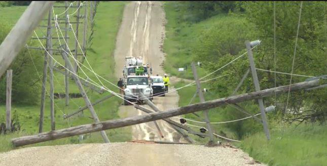
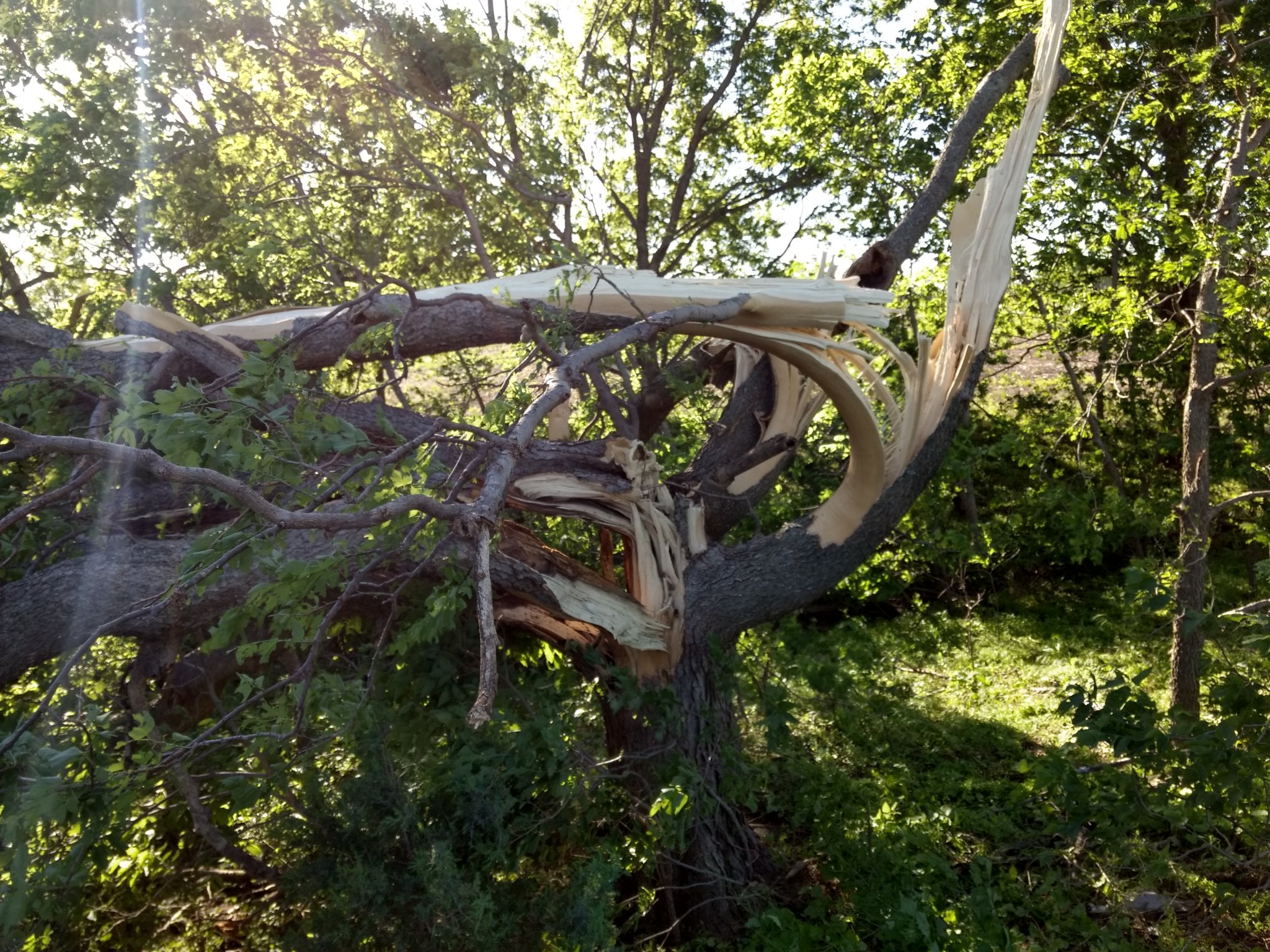
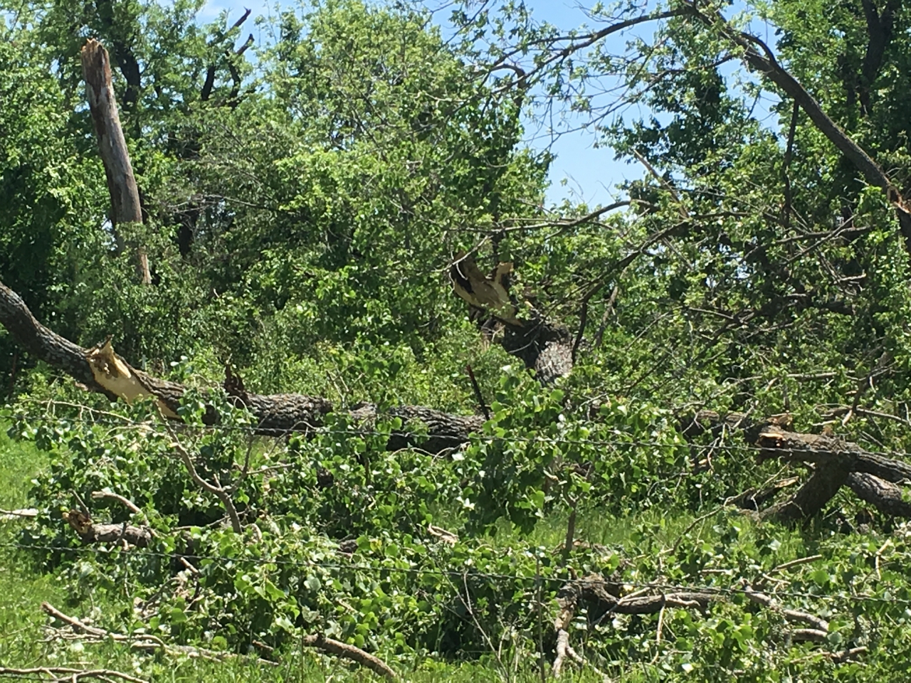
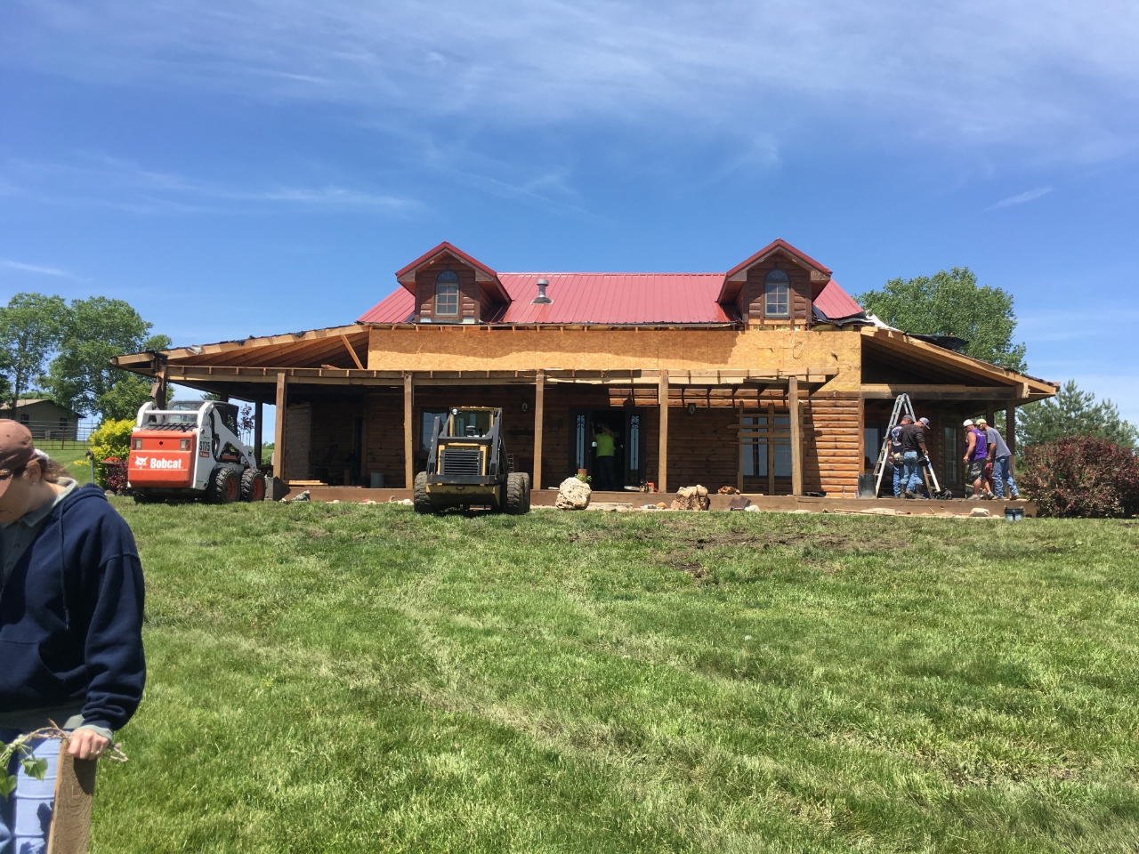
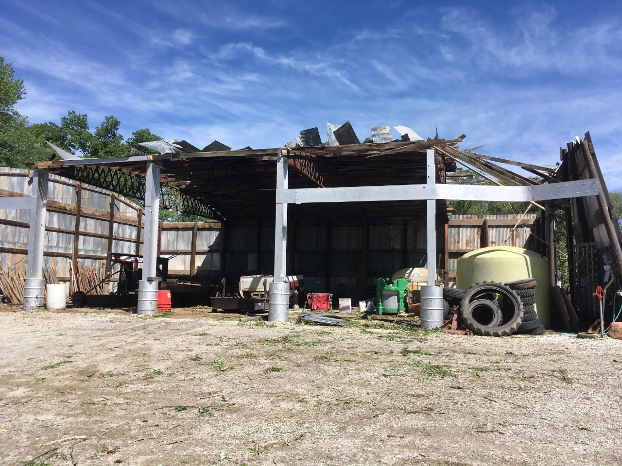
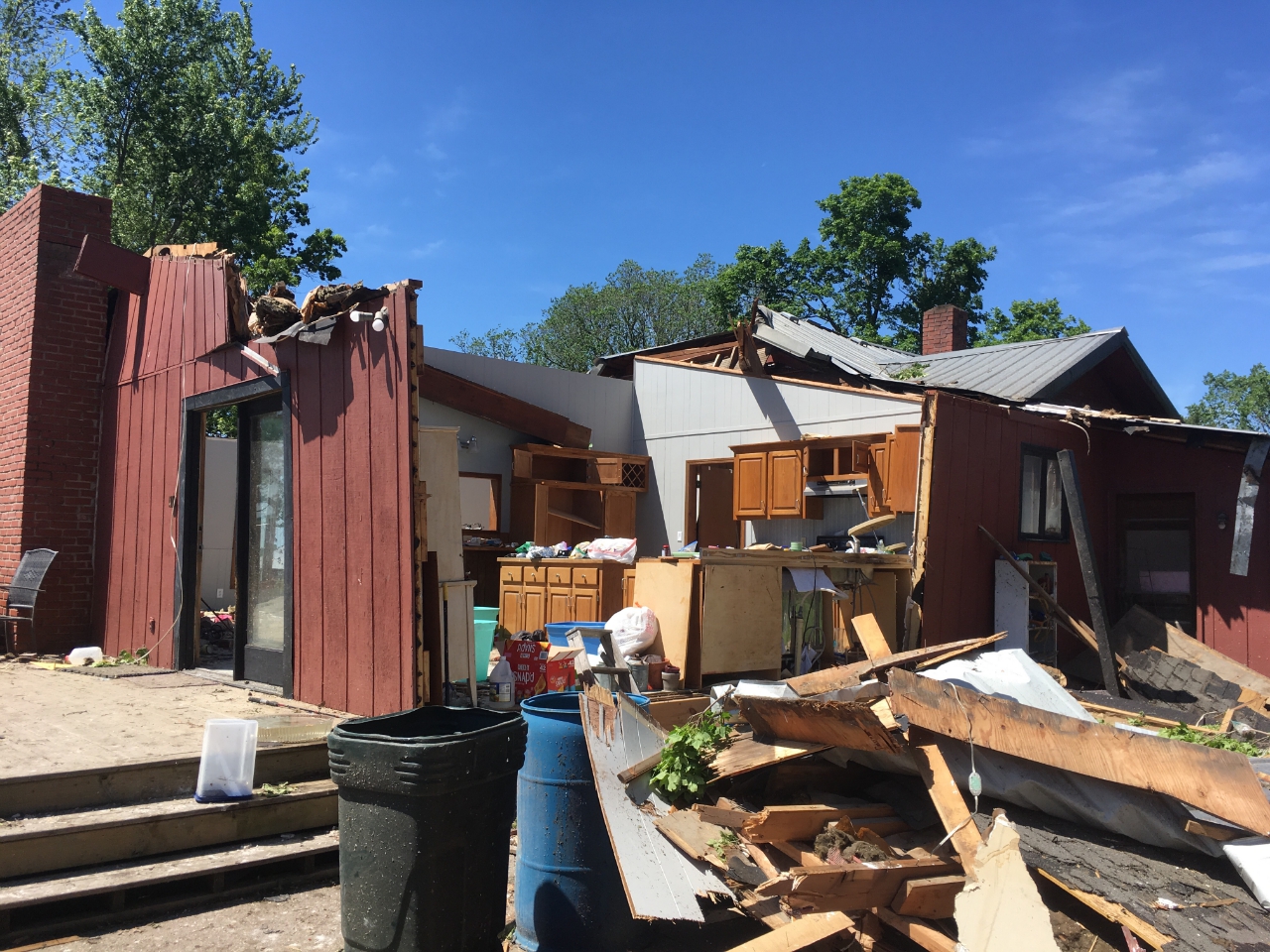
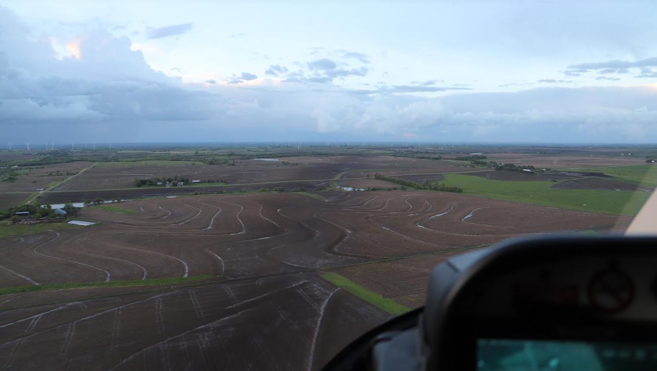
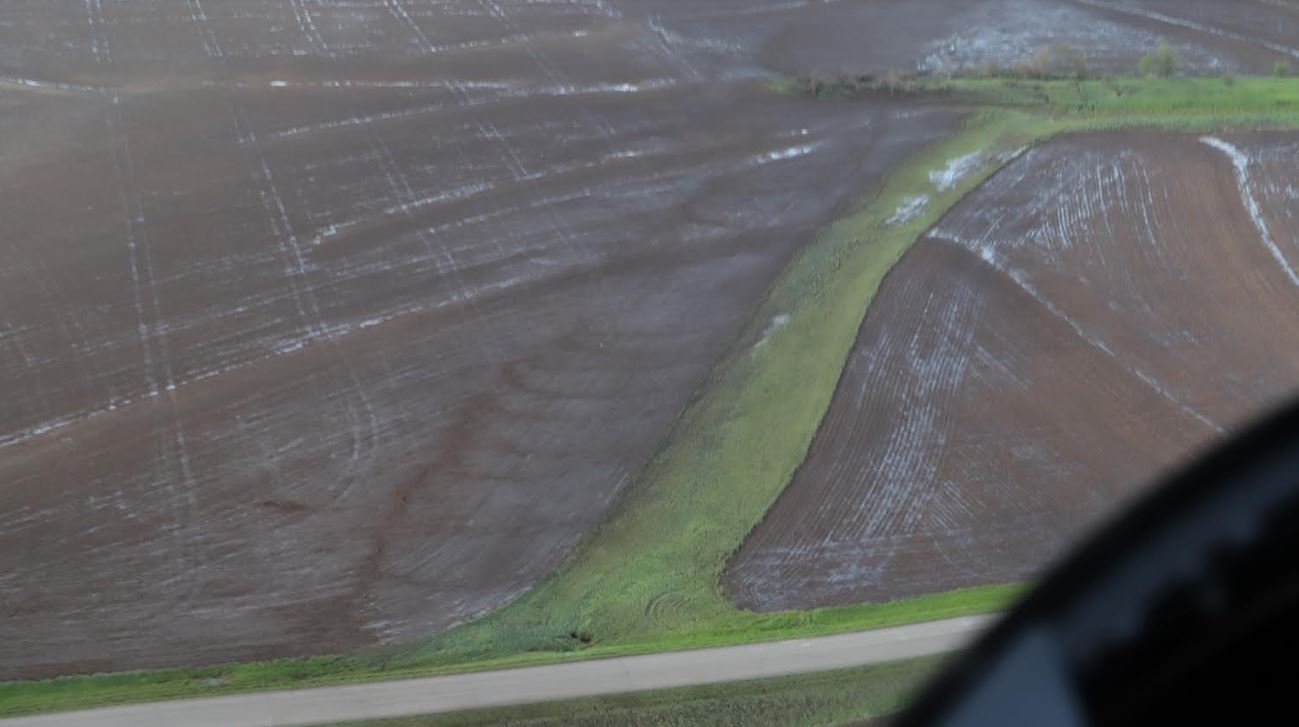
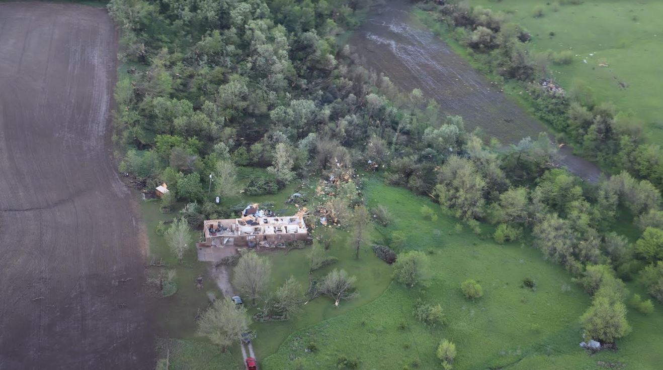
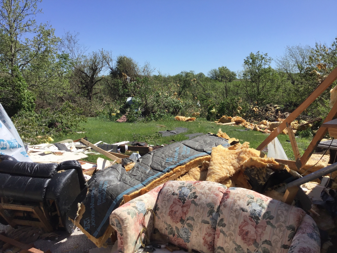
On the afternoon of May 21, 2019, a series of low-topped supercell thunderstorms spawned at least half a dozen tornadoes across northeastern Kansas. These tornadoes stayed mostly in rural locations, but one did swipe the western side of the town of Mayetta with EF-1 damage. Other tornadoes formed in Dickinson, Geary, Shawnee, and Jackson counties. |
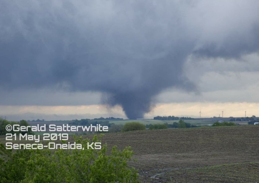 EF-3 tornado in northern Nemaha County - Courtesy of Gerald Satterwhite |
Tornadoes
|
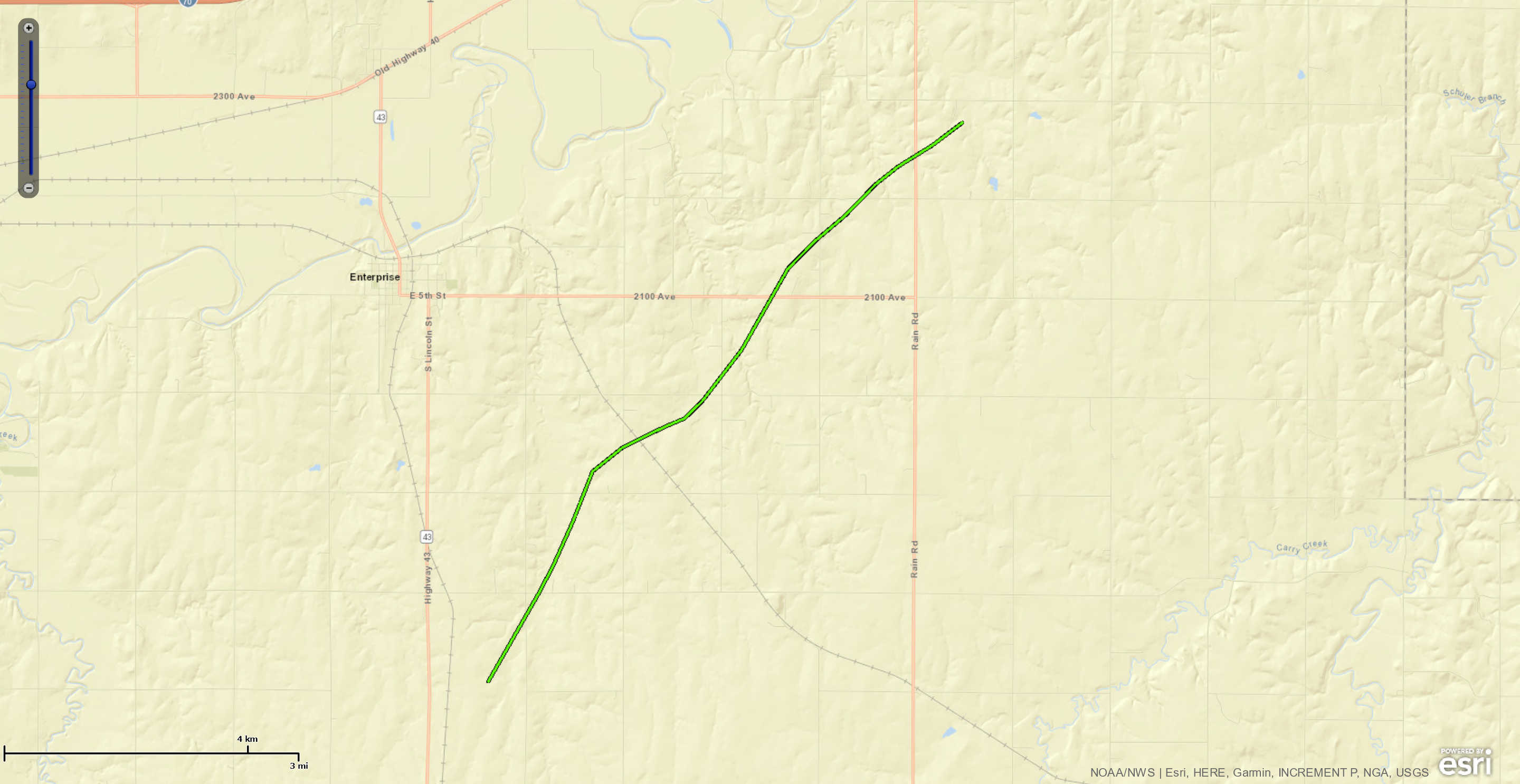
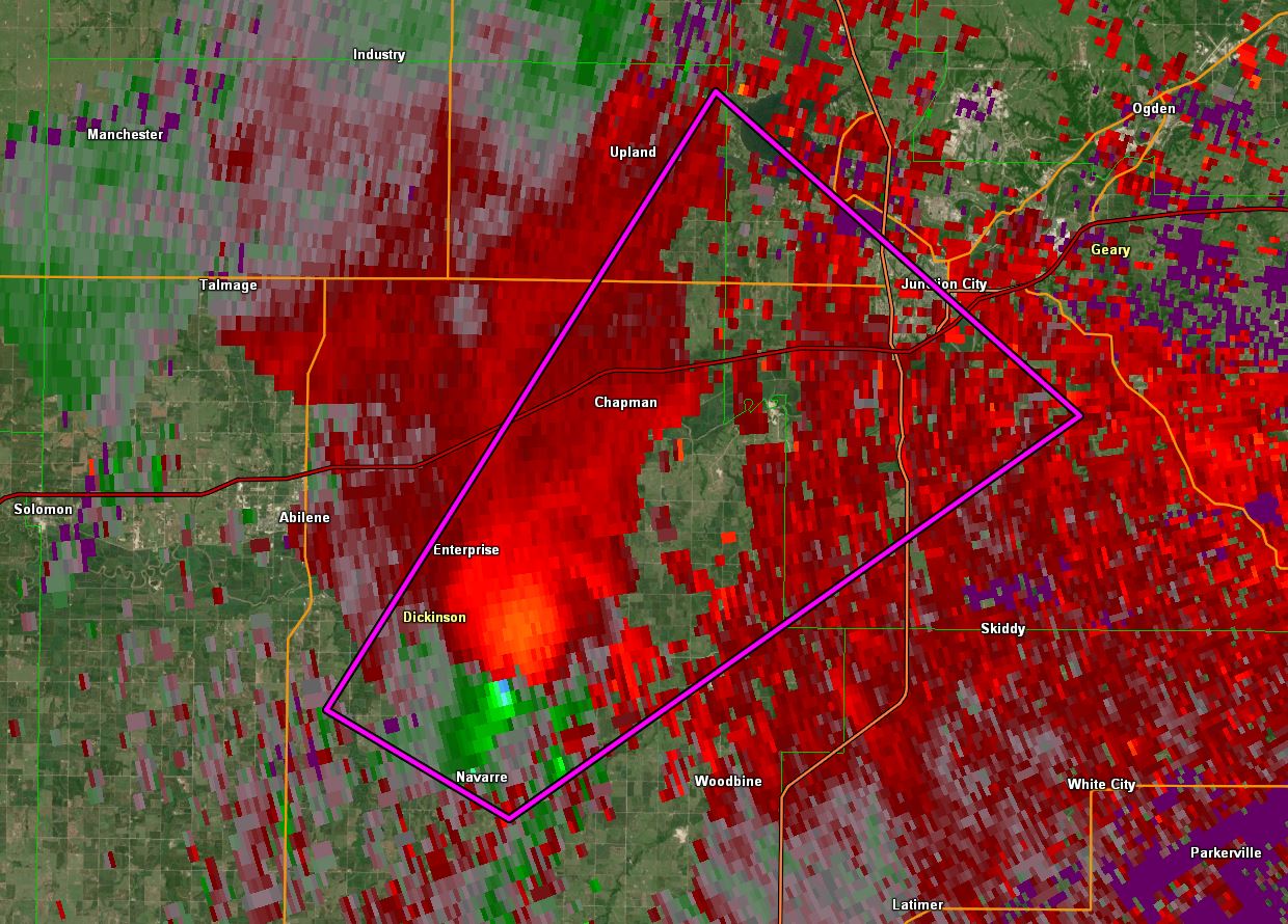
Tornado - 4.2 miles S of Enterprise
|
||||||||||||||||
|
||||||||||||||||
|
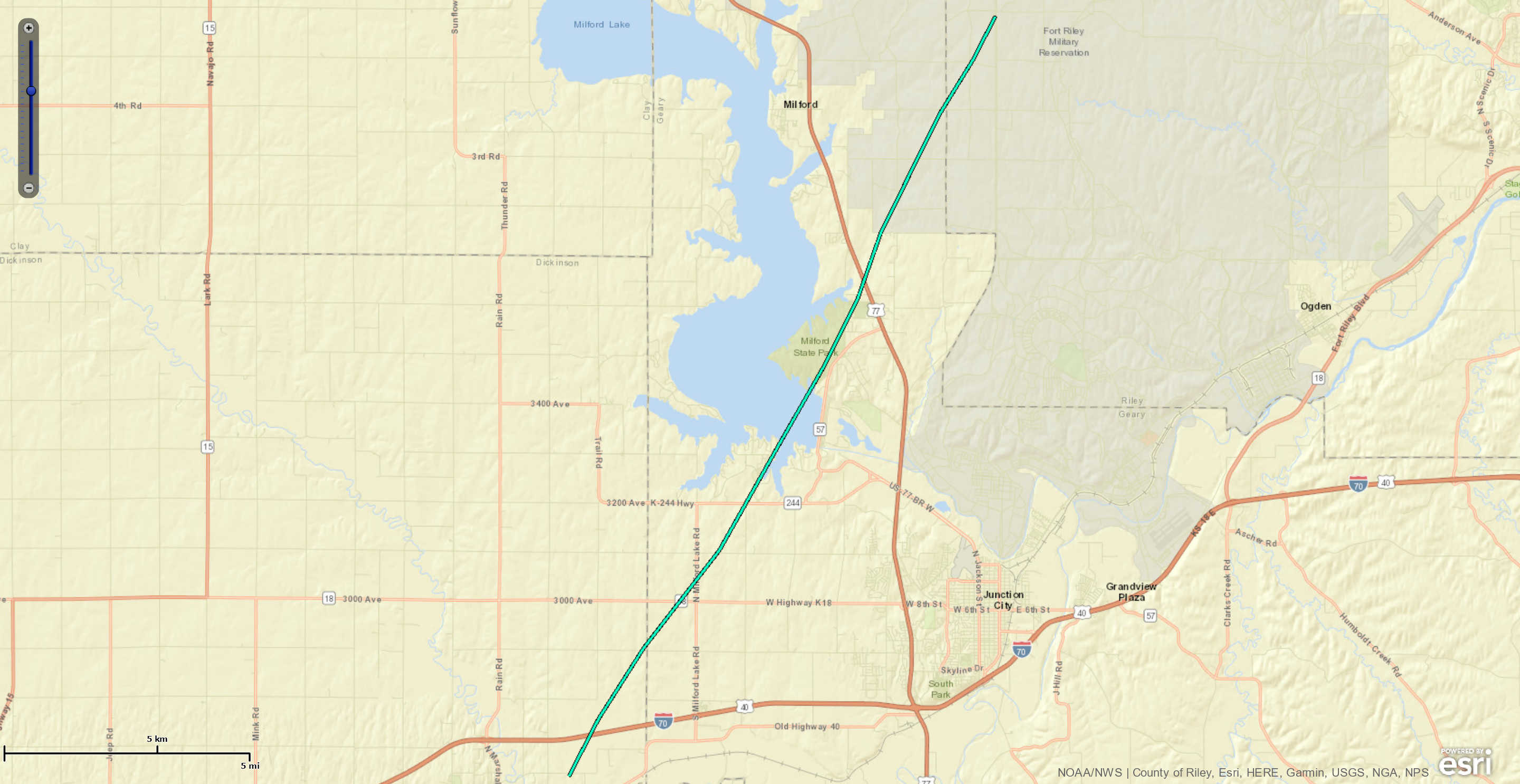
Tornado - 1.5 miles East of Chapman
|
||||||||||||||||
|
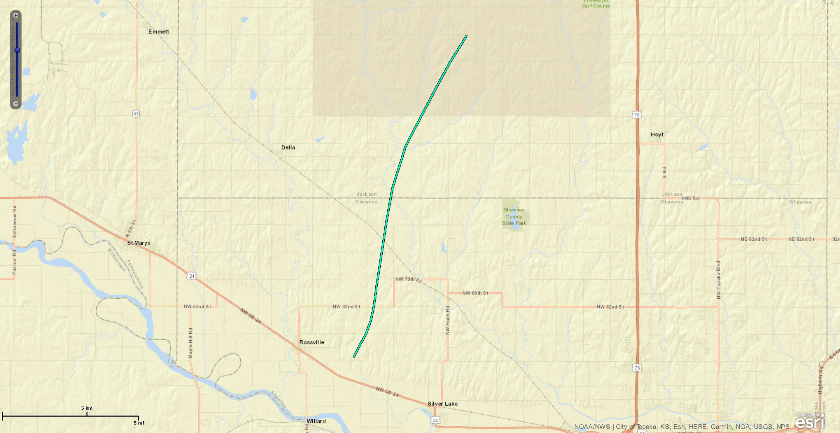
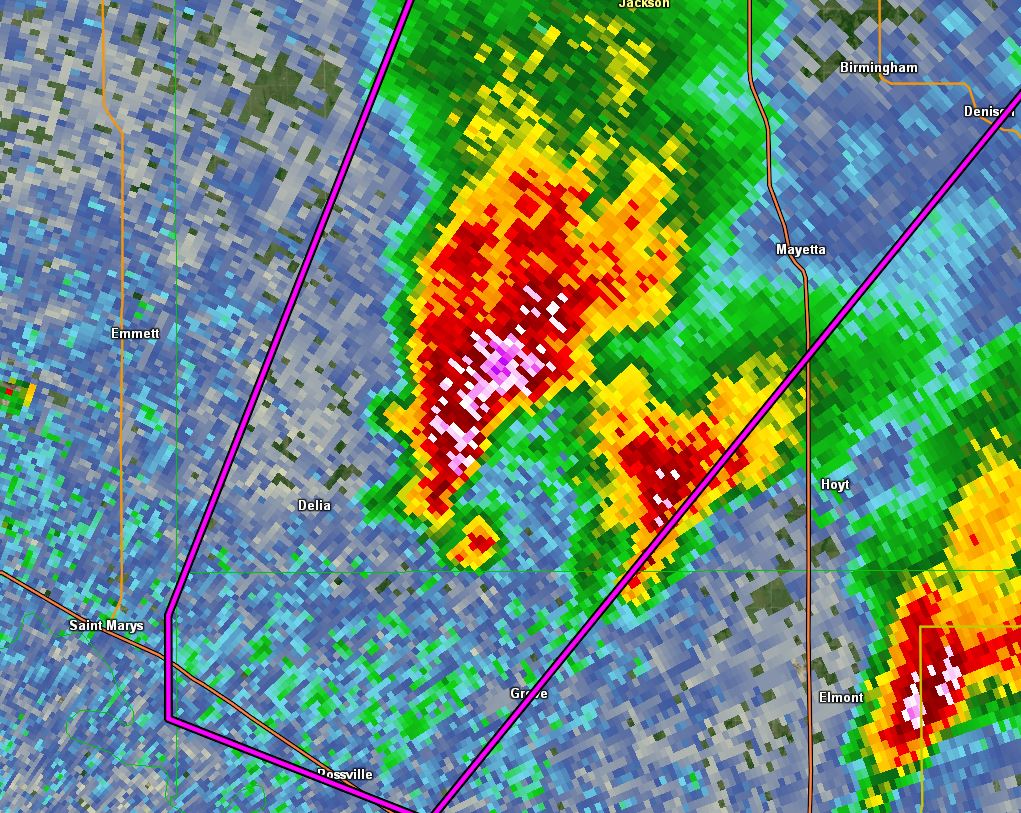
Tornado - 2.0 miles east of Rossville
|
||||||||||||||||
|
||||||||||||||||
|
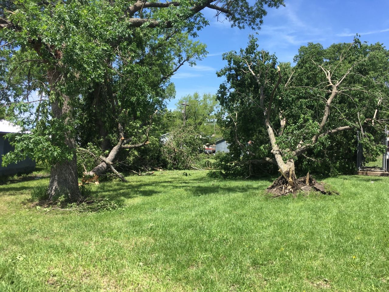
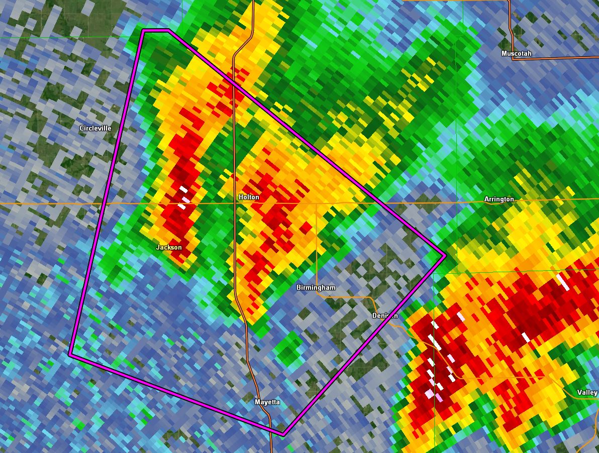
Tornado - 0.5 miles SW of Mayetta
|
||||||||||||||||
|
||||||||||||||||
|
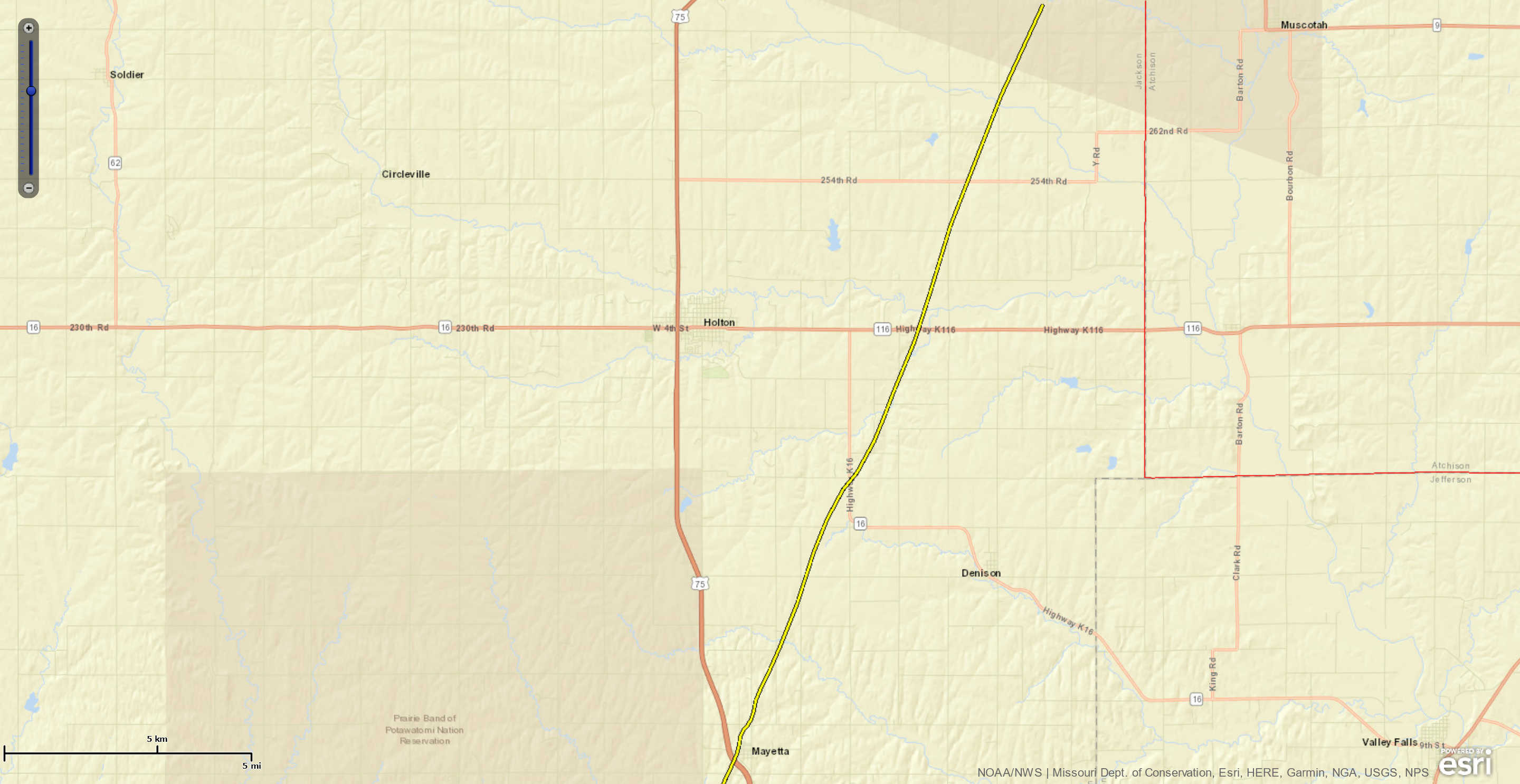
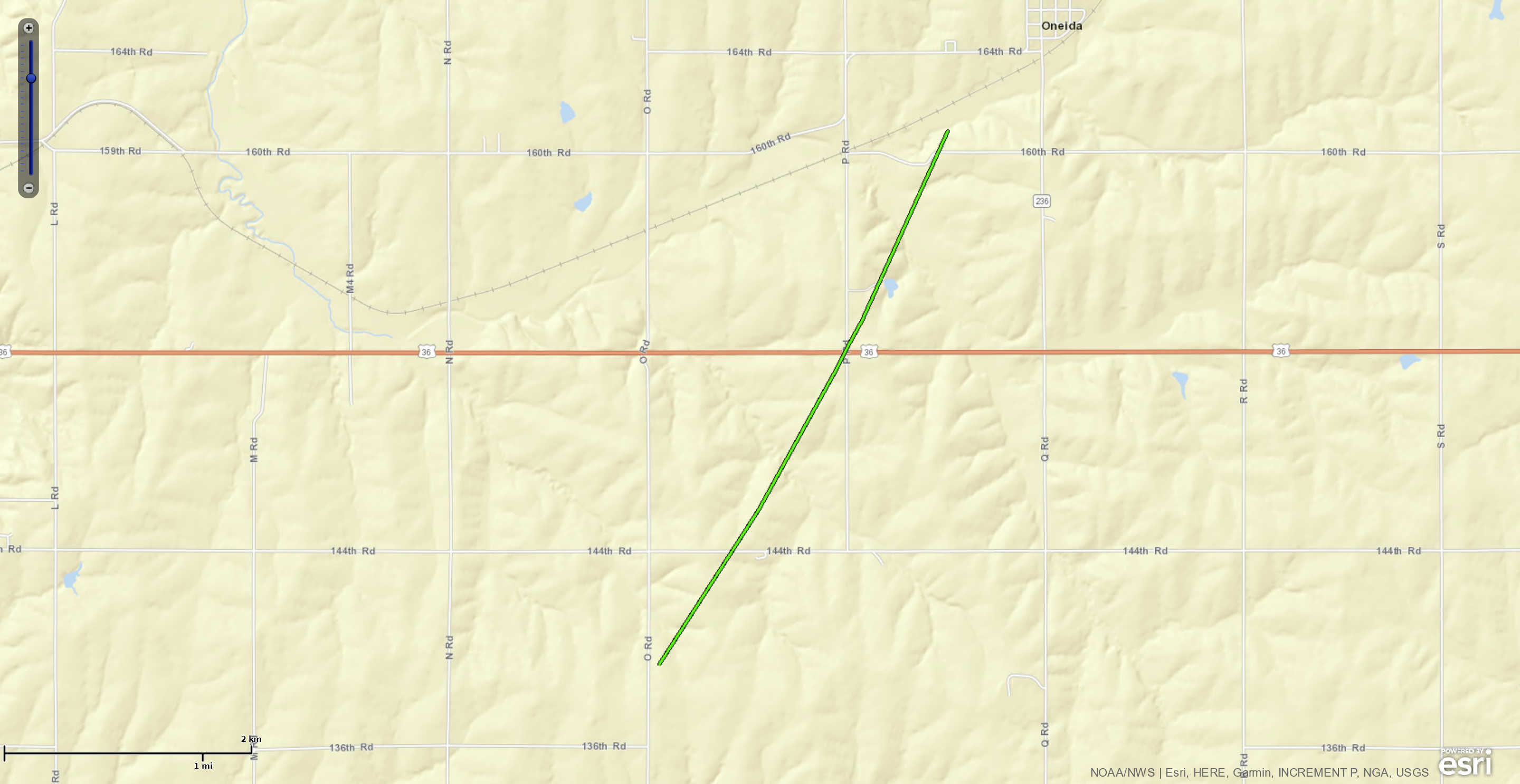
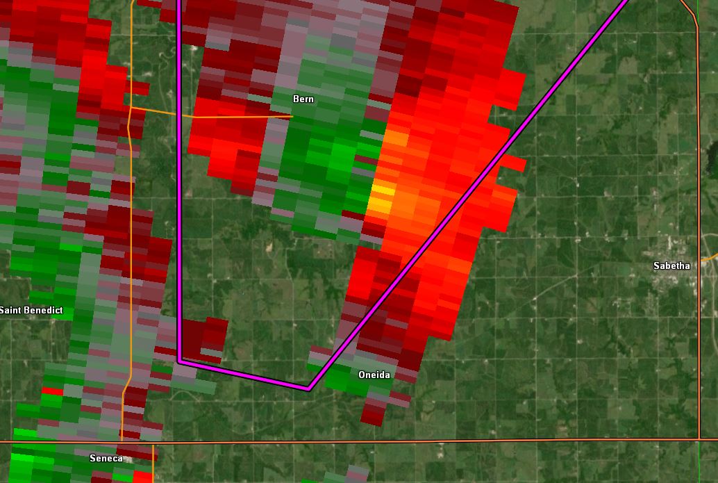
Tornado - 3.9 miles SW of Oneida
|
||||||||||||||||
|
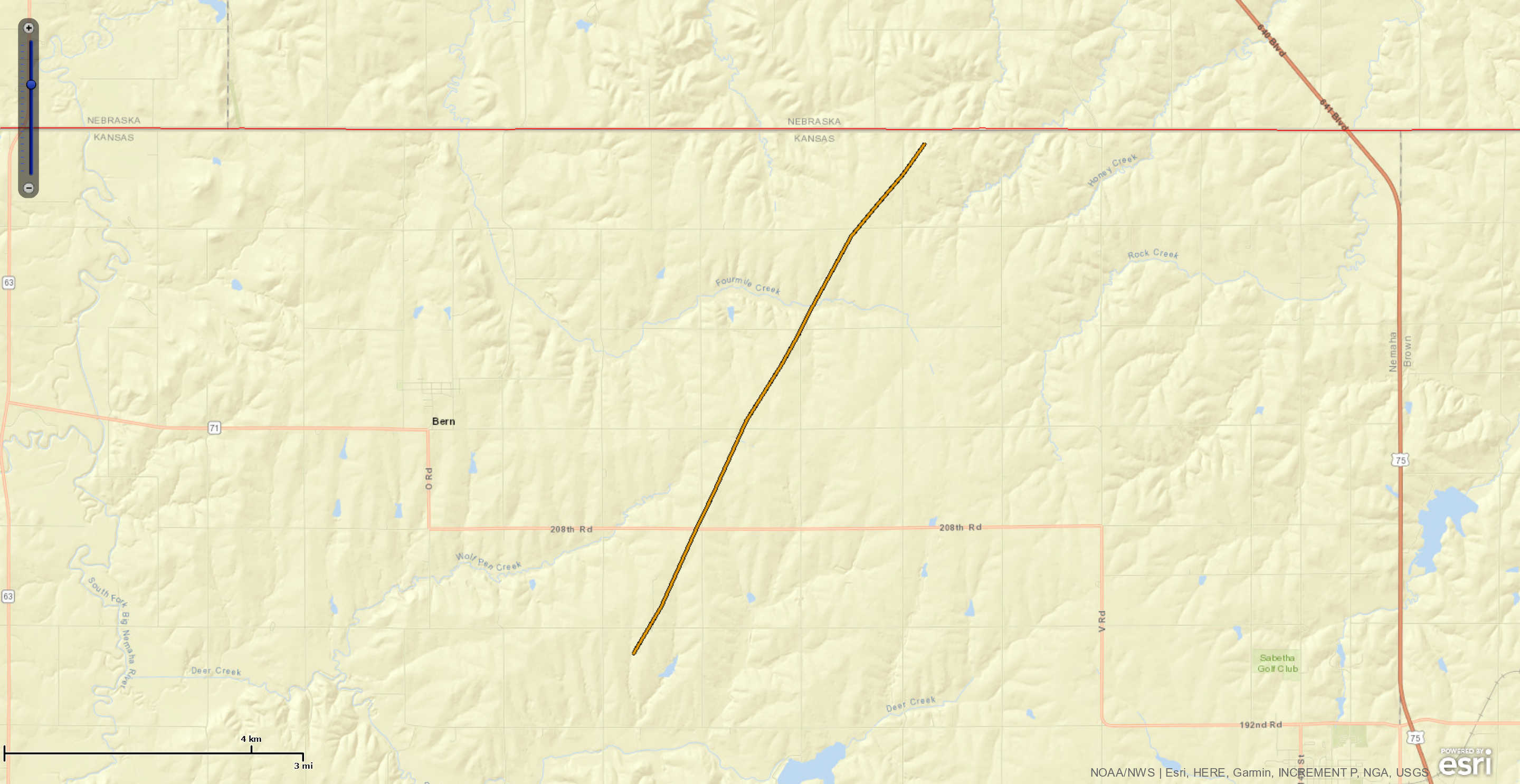
Tornado - 3.2 miles SE of Bern
|
||||||||||||||||
|
||||||||||||||||
The Enhanced Fujita (EF) Scale classifies tornadoes into the following categories:
| EF0 Weak 65-85 mph |
EF1 Moderate 86-110 mph |
EF2 Significant 111-135 mph |
EF3 Severe 136-165 mph |
EF4 Extreme 166-200 mph |
EF5 Catastrophic 200+ mph |
 |
|||||
Radar
 |
 |
 |
 |
| Radar rotation with the Dickinson County storm. | Debris Ball/TDS with the tornado moving into Jackson County. | Small TDS noted with the tornado moving through Mayetta. | Strong rotation noted as the tornado moves through Nemaha County. |
Additional Information
The Forecast
 |
 |
 |
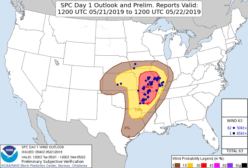 |
| SPC Day 1 Categorical Outlook | SPC Day 1 Tornado Outlook | SPC Day 1 Hail Outlook | SPC Day 1 Wind Outlook |
Warning Lead Time
| Counties & Issuance Time | Lead Time |
| Dickinson & Geary Counties - 4:28pm | 4+ min |
| Dickinson, Geary, Riley, and Clay Counties - 4:56pm (Re-issuance) | Tornado Ongoing |
| Geary, Riley, and Pottawatomie Counties - 5:18pm (Re-issuance) | Tornado Ongoing |
| Shawnee and Jackson Counties - 6:20pm | Tornado Ongoing |
| Shawnee and Jackson Counties - 6:20pm (Tornado #2) | 18+ min |
| Nemaha and Marshall Counties - 7:05pm | 1+ min |
| Nemaha and Marshall Counties - 7:05pm (Tornado #2) | 15+ min |
Summaries from other NWS Offices
 |
Media use of NWS Web News Stories is encouraged! Please acknowledge the NWS as the source of any news information accessed from this site. |
|