
Dangerous, record-breaking heat will continue across most of the central and eastern U.S this week. Heat indices will exceed 100 degrees. Severe storms will be possible from the northern Plains into the Midwest and Great Lakes regions, as well as across the southern Appalachians Thursday, with the primary threat large to very large hail. Critical fire weather to continue in the Four Corners Region Read More >
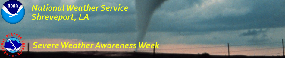
Shreveport, LA
Weather Forecast Office
 |
|||||||||||
|
|||||||||||
| Creating a WeatherReady Nation | |||||||||||
| Be Prepared! | |||||||||||
| Be weather-wise by staying informed on expected weather in your area. The National Weather Service ist typically aware of the potential for severe weather many hours, or even days, before any severe weather watches or warnings are issued, providing forecast products to heighten your awareness. A weather image, or GraphiCast, is posted each day on National Weather Service web pages, and Facebook pages. These graphics include a map and text on possible hazardous weather expected within the next seven days. A Hazardous Weather Outlook is also issued daily with information on possible hazardous weather through the next seven days. A watch is issued when conditions for severe weather of flooding become possible. A warning is issued when life threatening conditions are imminent or occurring. The National Weather Service would like to thank everyone involved in making Severe Weather Awareness Week a success. |
|||||||||||
 |
|||||||||||
|
|
|||||||||||
| Back to Top | |||||||||||
Current Hazards
Local
National
Outlooks
Submit Storm Report
Hazards Outlook
Radar Imagery
Nationwide
Shreveport, LA (SHV) Standard Radar
Fort Polk, LA (POE) Standard Radar
Forecasts
Local Forecast Info
Forecast Discussion
Graphical Forecasts
Tropical Weather
Fire Weather
Aviation Weather
Recreation Forecasts
Climate and Past Weather
Local Observed Reports
Climate Prediction
Local Data/Records
Storm Event Database
Past Events
Tropical Cyclone Reports
US Dept of Commerce
National Oceanic and Atmospheric Administration
National Weather Service
Shreveport, LA
5655 Hollywood Ave.
Shreveport, LA 71109
318-631-3669
Comments? Questions? Please Contact Us.

