National Weather Service United States Department of Commerce
Click a location below for detailed forecast.

Last Map Update: Wed, Jul 17, 2024 at 2:38:19 pm PDT

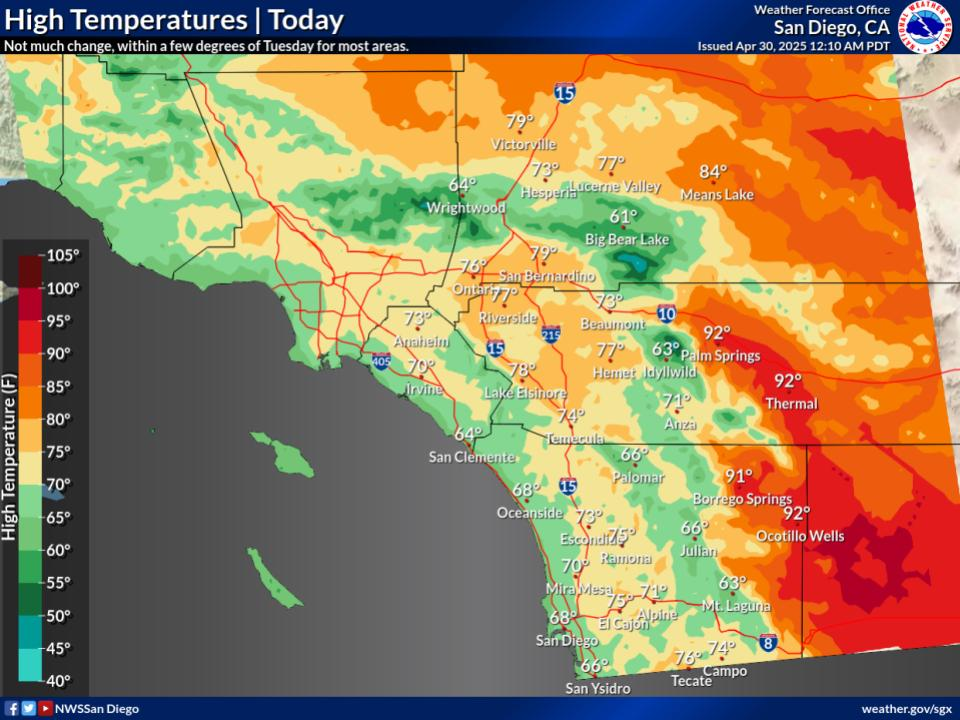
Not much change from Tuesday, around 5 degrees above average for the deserts and a few to around 5 degrees below average for the coast and valleys. Highs in San Diego County in the lower to mid 70s near the coast to mid 80s to lower 90s for the inland valleys, in Orange County from the lower to mid 70s near the coast to the mid 80s inland, for the Inland Empire in the upper 80s to around 100, in the Apple and Lucerne Valleys in the mid 90s to around 105, in the lower deserts 106 to around 112, and in the mountains for elevations from 4500 to 7000 feet in the mid 70s to upper 80s.
Slight chance of showers and thunderstorms for this afternoon.
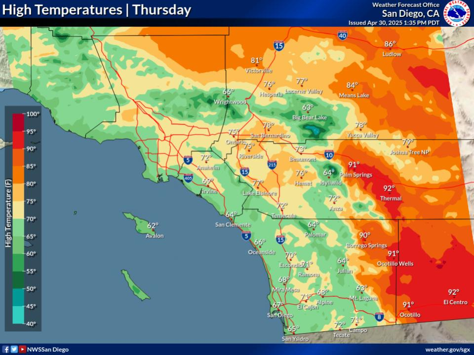
Slightly warmer than Wednesday for the coast and valleys and slightly cooler for the deserts. Highs in San Diego County in the lower to mid 70s near the coast to upper 80s to mid 90s for the inland valleys, in Orange County from the lower to mid 70s near the coast to the mid 80s inland, for the Inland Empire in the upper 80s to around 102, in the Apple and Lucerne Valleys in the upper 90s to around 105, in the lower deserts 106 to around 111, and in the mountains for elevations from 4500 to 7000 feet in the upper 70s to around 90.
Best chances for thunderstorms and showers are Thursday afternoon, especially over the mountains and desert foothills.
A few degrees warmer than Thursday to a few to around 5 degrees warmer for the coast and valleys. Highs in San Diego County in the mid to upper 70s near the coast to upper 80s to mid 90s for the inland valleys, in Orange County from the mid to upper 70s near the coast to around 90 inland, for the Inland Empire in the 90s to around 104, in the Apple and Lucerne Valleys in the upper 90s to around 106, in the lower deserts 106 to around 114, and in the mountains for elevations from 4500 to 7000 feet in the upper 70s to lower 90s.


Text Product Selector (Selected product opens in current window)