Springfield, MO
Weather Forecast Office

Counties served by KZZ - 30 El Dorado Springs

KZZ - 30 El Dorado Springs Theoretical Coverage Area

FIPS Codes for your Programmable NOAA All Hazards Weather Radio
When severe weather occurs, the routine broadcasting will be interrupted to provide the listener with frequent updates on severe weather warnings or statements for your area. When a severe weather warning is issued and you are within 40 miles of the transmitter, a weather tone will alert on specially built receivers, with warning and safety information following directly after the tone. With the new Specific Area Message Encoder (SAME) weather radios, you can program your weather radio to only receive warnings for the county you program into the radio.
More information on NOAA All Hazards Weather Radio
Current Hazards
Experimental Graphical Hazardous Weather Outlook
Submit a storm report
Local Storm Reports
Current Conditions
Observations
Lake Levels
Snowfall Analysis
Road Conditions
Satellite
CoCoRaHS
Graphical Conditions
Precip. Analysis
Forecasts
Forecast Discussion
Fire Weather
Aviation
GIS Forecast Maps
Activity Planner
Severe Weather
Winter Weather
Hurricanes
FAA Center Weather
Space Weather
Climatology
Records and Normals
Monthly Climate Summary
Local
National
Drought
Climate Science
Astronomical Data
US Dept of Commerce
National Oceanic and Atmospheric Administration
National Weather Service
Springfield, MO
Springfield-Branson National Airport
5805 West Highway EE
Springfield, MO 65802-8430
Business: 417-863-8028 Recording: 417-869-4491
Comments? Questions? Please Contact Us.


 Weather Story
 Weather Map
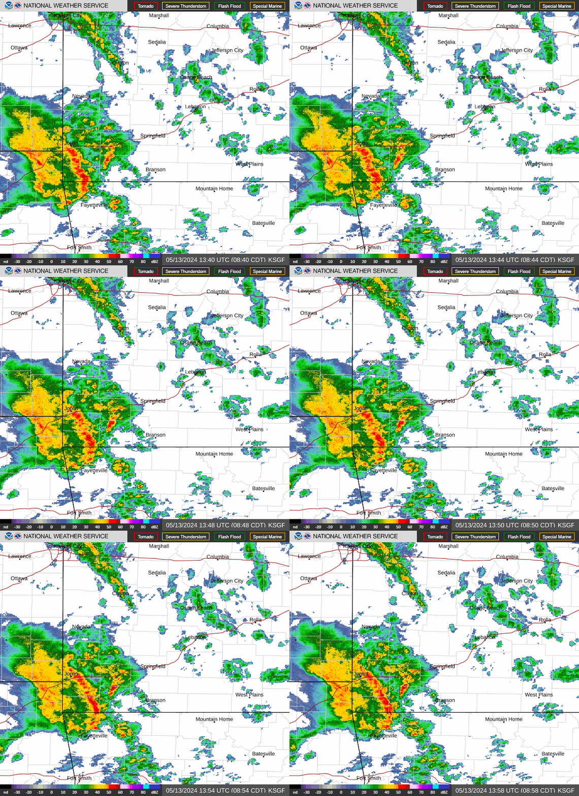
 Local Radar