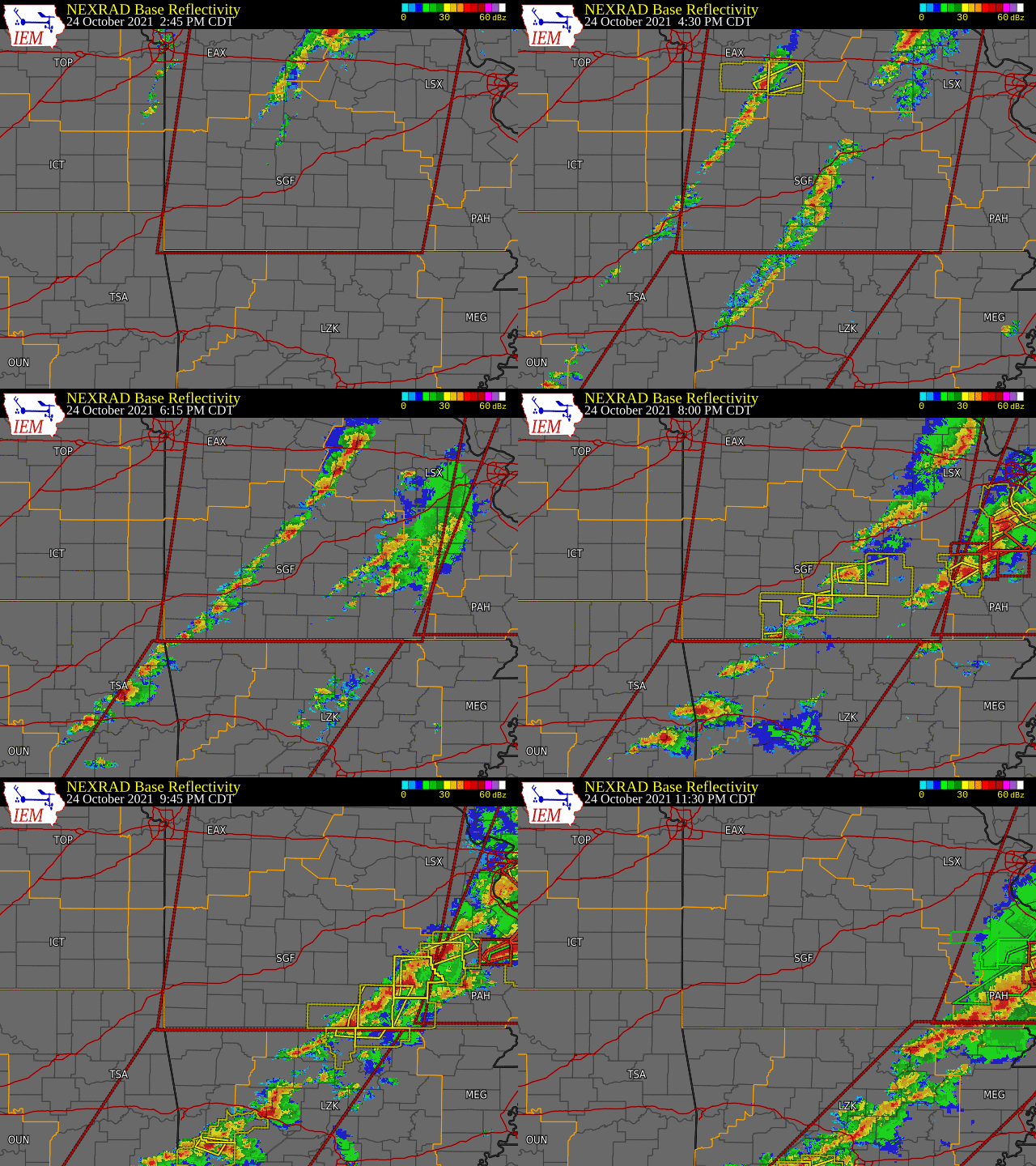
Overview
A strong storm system brought moisture, instability and plenty of lift and shear to the area during the late afternoon through the evening hours of October 24th, 2021. Two main areas of thunderstorms occurred, one out ahead of the main cold front, and one along the front itself. Two tornadoes affected the area during the early evening in addition to a couple of other wind reports.Tornadoes:
|
Tornado - NW of Richland
|
||||||||||||||||
|
Tornado - LOCATION
|
||||||||||||||||
The Enhanced Fujita (EF) Scale classifies tornadoes into the following categories:
| EF0 Weak 65-85 mph |
EF1 Moderate 86-110 mph |
EF2 Significant 111-135 mph |
EF3 Severe 136-165 mph |
EF4 Extreme 166-200 mph |
EF5 Catastrophic 200+ mph |
 |
|||||
Radar
 |
 |
 |
 |
| Camden county Tornado Reflectivity | Camden County Tornado - SRM | Dent County Tornado - Reflectivity | Dent County Tornado - SRM |

Storm Reports
 |
Media use of NWS Web News Stories is encouraged! Please acknowledge the NWS as the source of any news information accessed from this site. |
 |