Long Lived Thunderstorm Produces a Path of Large Hail From Southeast Kansas Into Missouri 04/07/13
A severe thunderstorm tracked from southeast Kansas into the Missouri Ozarks late Sunday afternoon and evening producing large hail. Reports from spotters indicated hail as large as tennis balls (2.50 inch diameter) from this storm. Some damage to windows and homes were reported. Here is a list of reports received yesterday:
|
Time (CDT) |
Size (Inches) |
Location | County | State |
| 5:00 PM | QUARTER (1.00) | BRONSON | BOURBON | KS |
| 5:07 PM | GOLF BALL(1.75) | UNIONTOWN | BOURBON | KS |
| 5:25 PM | TENNIS BALL (2.50) | FORT SCOTT | BOURBON | KS |
| 5:29 PM | GOLF BALL(1.75) | FORT SCOTT | BOURBON | KS |
| 6:01 PM | PING PONG BALL (1.50) | 2 S NEVADA | VERNON | MO |
| 6:07 PM | GOLF BALL(1.75) | 5 S NEVADA | VERNON | MO |
| 6:12 PM | GOLF BALL(1.75) | SHELDON | VERNON | MO |
| 6:35 PM | GOLF BALL(1.75) | JERICO SPRINGS | CEDAR | MO |
| 6:54 PM | GOLF BALL(1.75) | STOCKTON | CEDAR | MO |
| 7:15 PM | PING PONG BALL (1.50) | 2 NW ALDRICH | POLK | MO |
| 7:22 PM | QUARTER (1.00) | FAIR PLAY | POLK | MO |
| 7:23 PM | QUARTER (1.00) | 3 NW BOLIVAR | POLK | MO |
| 7:30 PM | GOLF BALL(1.75) | BOLIVAR | POLK | MO |
| 7:32 PM | GOLF BALL(1.75) | BOLIVAR | POLK | MO |
| 7:50 PM | GOLF BALL(1.75) | HALF WAY | POLK | MO |
| 8:00 PM | QUARTER(1.00) | BUFFALO | DALLAS | MO |
| 8:27 PM | GOLF BALL(1.75) | CONWAY | LACLEDE | MO |
| 8:31 PM | GOLF BALL(1.75) | CONWAY | LACLEDE | MO |
| 8:31 PM | GOLF BALL(1.75) | PHILLIPSBURG | LACLEDE | MO |
| 8:45 PM | QUARTER (1.00) | LEBANON | LACLEDE | MO |
| 9:05 PM | NICKEL(0.88) | DRY KNOB | LACLEDE | MO |
| 9:13 PM | NICKEL(0.88) | FALCON | LACLEDE | MO |
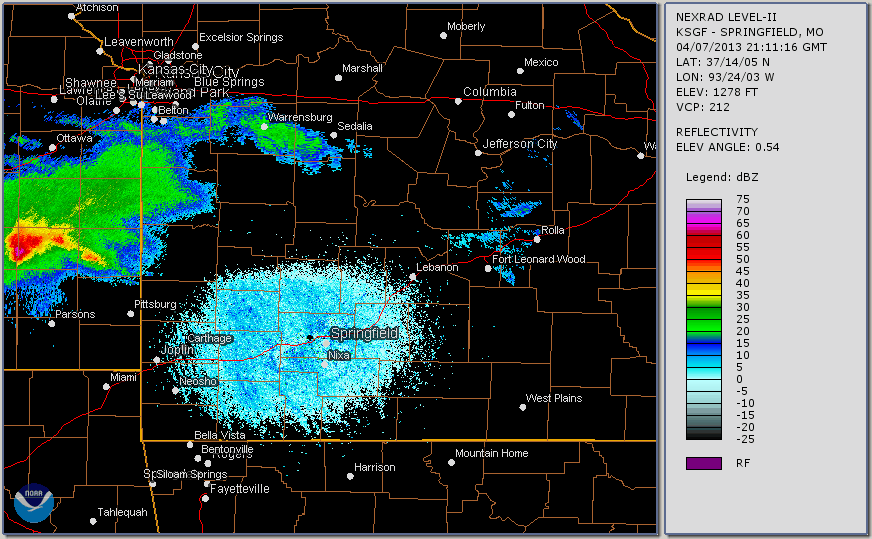
Here is a radar loop from late afternoon into the evening hours:


 Weather Story
 Weather Map
 Local Radar