Springfield, MO
Weather Forecast Office
Morning Storm System Produces Interesting Clouds.
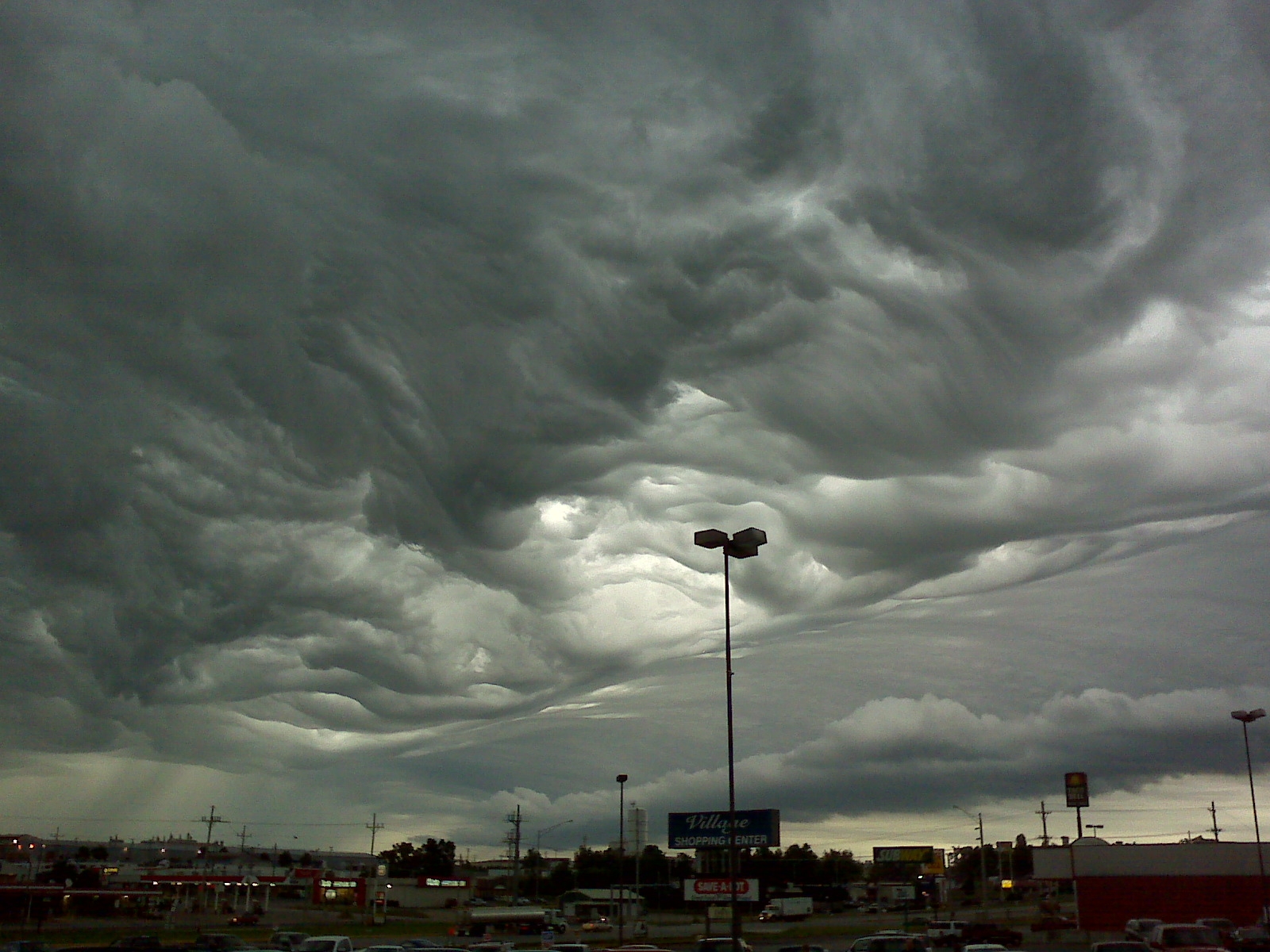
A storm system moving across the Ozarks on June 7th produced widespread interest for more than just the thunder and rainfall it produced. As the system moved across the region, the balance of instability aloft and a relatively stable low level airmass helped to produce what was likely a potentially new form of clouds now under review by the World Meteorological Society or WMO. The cloud type in question has been named, "Undulatus asperatus".
Undulatus asperatus (or alternately, asperatus) is a rare, newly recognized cloud formation, that was proposed in 2009 as the first cloud formation added since cirrus intortus in 1951 to the International Cloud Atlas of the World Meteorological Organization. The name translates approximately as roughened or agitated waves.
The clouds are most closely related to undulatus clouds. Although they appear dark and storm-like, they tend to dissipate without a storm forming. The ominous-looking clouds have been particularly common in the Plains states of the United States, often during the morning or midday hours following convective thunderstorm activity. As of June 2009[update] the Royal Meteorological Society is gathering evidence of the type of weather patterns in which undulatus asperatus clouds appear, so as to study how they form and decide whether they are distinct from other undulatus clouds.
Some Photos from across the Ozarks on June 7th.
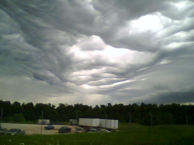 |
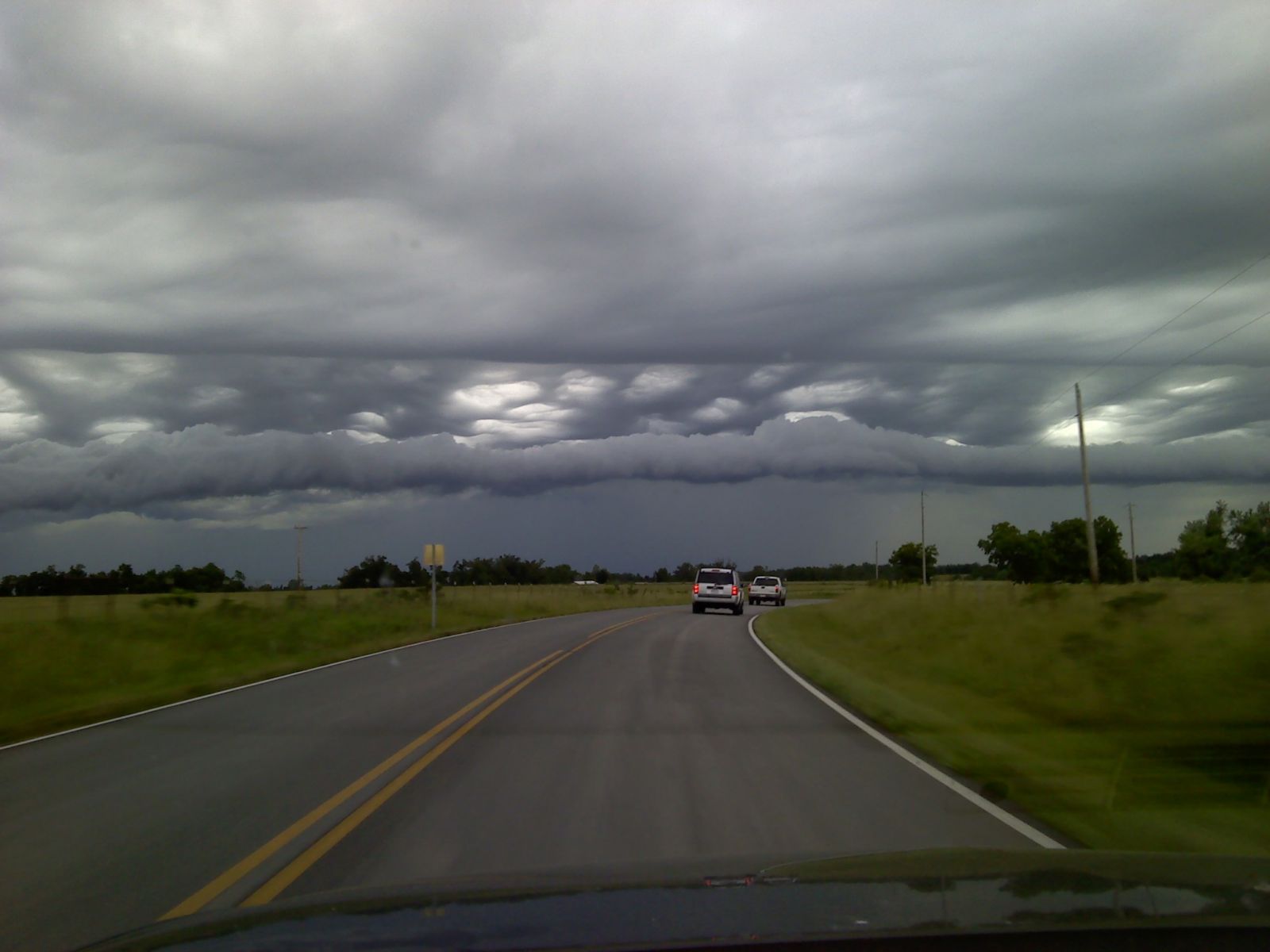 |
| Taken near Monett, MO. by Local Resident | Taken near Aurora, MO. by Local Resident |
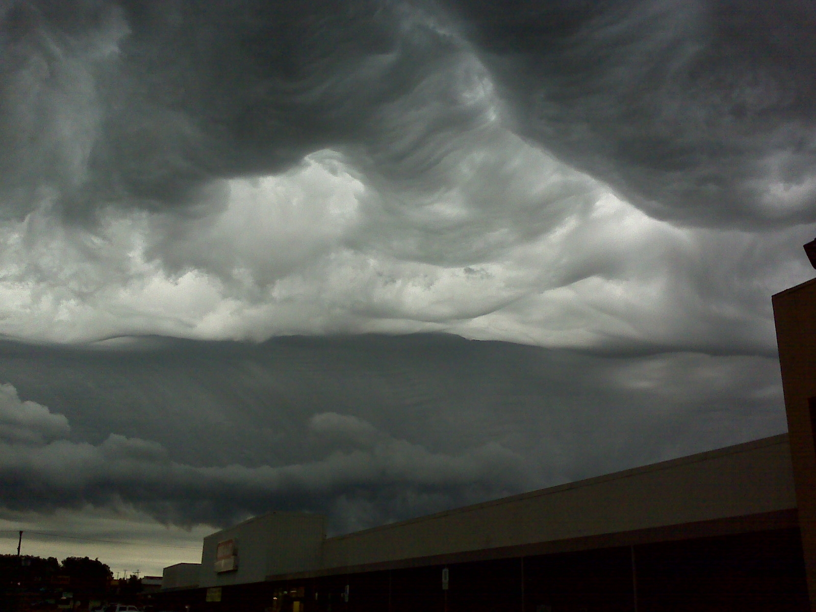 |
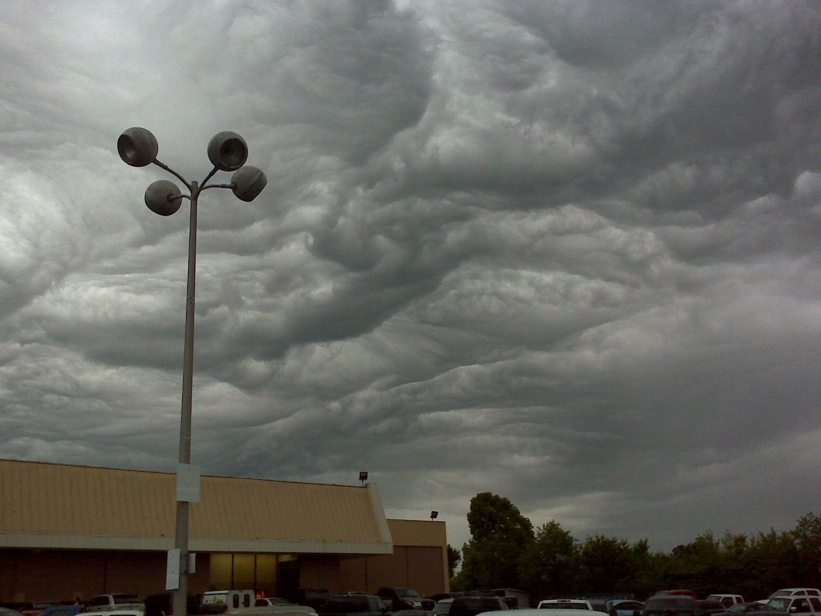 |
| Provided by Tony Dustman | Provided by Tony Dustman |
 |
 |
| Provided by Tony Dustman | Provided by Tony Dustman |
Current Hazards
Experimental Graphical Hazardous Weather Outlook
Submit a storm report
Local Storm Reports
Current Conditions
Observations
Lake Levels
Snowfall Analysis
Road Conditions
Satellite
CoCoRaHS
Graphical Conditions
Precip. Analysis
Forecasts
Forecast Discussion
Fire Weather
Aviation
GIS Forecast Maps
Activity Planner
Severe Weather
Winter Weather
Hurricanes
FAA Center Weather
Space Weather
Climatology
Records and Normals
Monthly Climate Summary
Local
National
Drought
Climate Science
Astronomical Data
US Dept of Commerce
National Oceanic and Atmospheric Administration
National Weather Service
Springfield, MO
Springfield-Branson National Airport
5805 West Highway EE
Springfield, MO 65802-8430
Business: 417-863-8028 Recording: 417-869-4491
Comments? Questions? Please Contact Us.


 Weather Story
 Weather Map
 Local Radar