 |
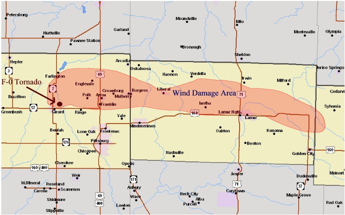
Tornado and Severe Storms May 26th - 27th, 2004
National Weather Service, Springfield, MO
|
 |
Event Summary
A couple of hours after the
Roscoe, MO tornado struck in southern St. Clair county, another area of strong to severe supercells developed over southeast Kansas and became tornadic. This tornadic supercell moved southeast across extreme southern Bourbon county Kansas and northern Crawford county Kansas, and central Barton county Missouri.
Because of the high likilihood this storm could produce a tornado, several tornado warnings were issued along its path. As the storm pushed rapidly southeast, spotter reports confirmed several funnel and wall clouds, along with flying debris.
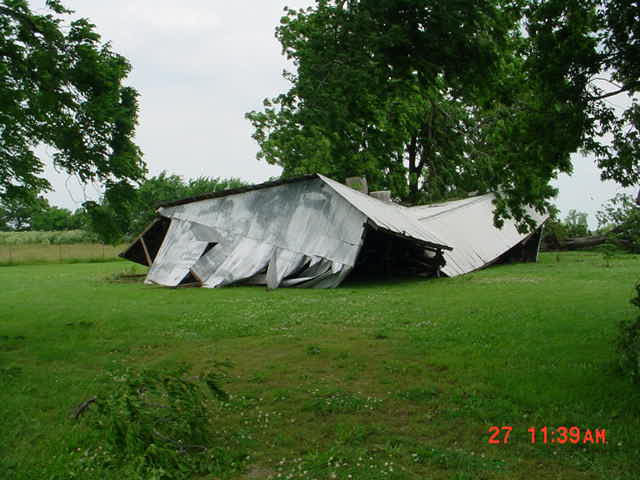
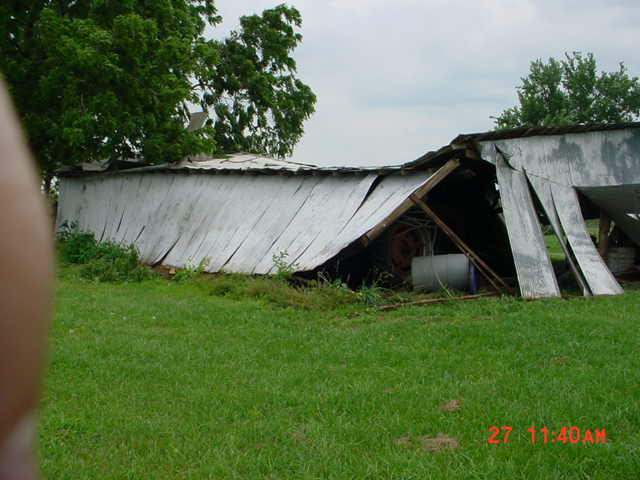
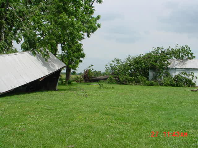
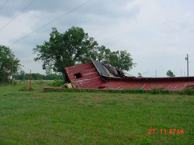
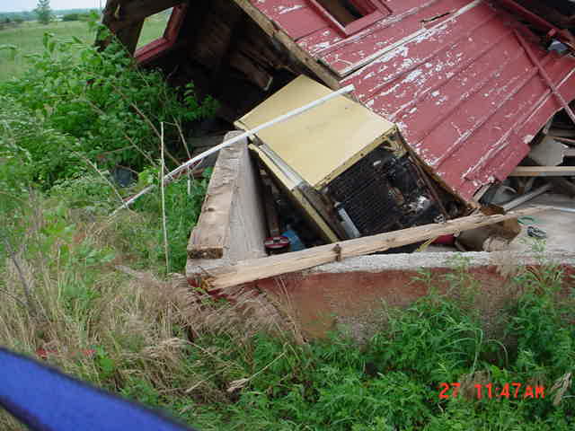
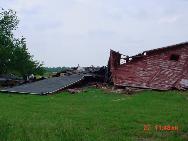
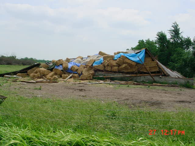
As a result of the NWS survey on May 27th, most of the damage from this storm was caused by small microbursts and straight line winds. The most extensive wind damage was across Crawford county Kansas, and Barton county Missouri.
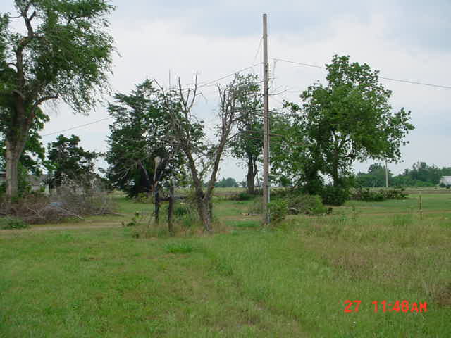
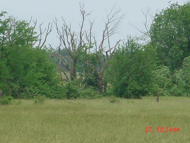
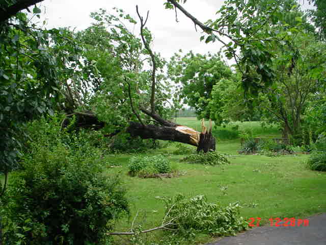
There was one very small area that sustained F0 like tornadic damage to several trees. The trees had been twisted in several directions, stripped of leaves, and of bark near the top portion of three trees. This occurred about 3 miles northeast of Girard Kansas and just east of the intersection of County road 170 and 640.
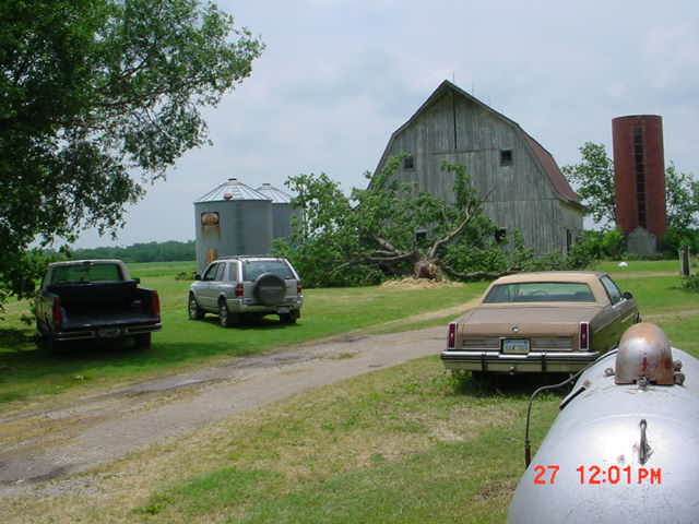
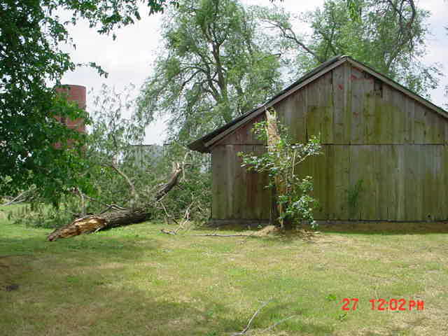
Wind damage, mainly to trees and several barns began near Hepler and extended southeast to just north of Brazilton and then north and northeast of Girard, through Arma, across the state line to Iantha in Barton county Missouri. Another area of wind damage occurred from V highway and NW lane 120, southeast to about 4 miles north of Iantha, where a barn was damaged. This continued southeast to the northern portion of Lamar causing more damage to trees, roofs, and outbuildings. The worst damage was to a large roof on the town bowling alley.
The damage path continued to the intersection of SE lane 80 and SE road 20. Other areas were examined east and southeast of the storm's main track across Dade county, however there was only sporadic tree damage northeast of Golden City.
Tornado Statistics:
Path Length: 50 Yards
Path Width: 40 Yards
Intensity: F-0 (Weak Tornado)
Event Maps


 Weather Story
 Weather Map
 Local Radar