Overview
|
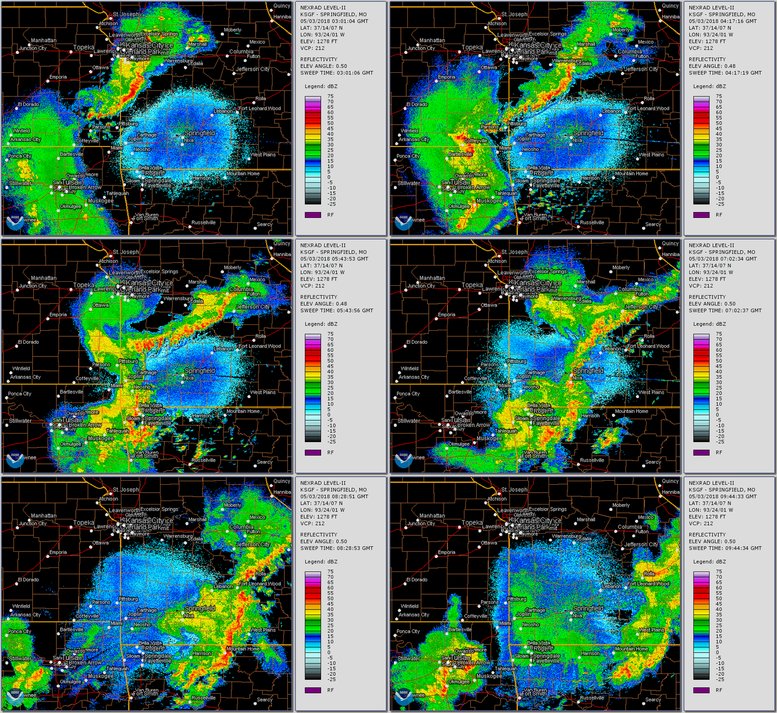
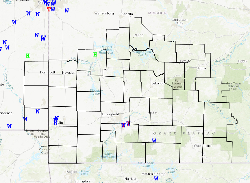
Two lines of storms affected the Ozarks from the late evening of May 2nd into the overnight hours of May 3rd. The first line affected mainly portions of west central into central Missouri, where a 1 inch hail report occurred in St. Clair county. The second line of storms started moving into extreme southeast Kansas and southwest Missouri just before midnight with several damaging wind reports. Just after 2 AM, a couple of brief spin up tornadoes affected northern Christian and southeast Greene counties. |
 Tornado damage in northern Christian county |
 |
 |
 |
| Tornado damage in northern Christian county | Tornado damage in northern Christian county | Tornado damage in northern Christian county |
Tornadoes:
|
|
||||||||||
|
||||||||||
|
Tornado - 2.5 miles north of Ozark
|
||||||||||||||||
|
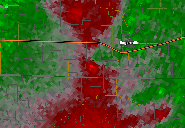
Tornado - Just west of Rogersville
|
||||||||||||||||
|
Tornado - 1.5 miles northeast of Squires
Track Map
KML Points: 1,5 miles northeast of Squires Points KML Path: 1.5 miles northeast of Squires Path
|
||||||||||||||||
The Enhanced Fujita (EF) Scale classifies tornadoes into the following categories:
| EF0 Weak 65-85 mph |
EF1 Moderate 86-110 mph |
EF2 Significant 111-135 mph |
EF3 Severe 136-165 mph |
EF4 Extreme 166-200 mph |
EF5 Catastrophic 200+ mph |
 |
|||||
Radar:

Zoomed in Radar for the Mesovortex
 |
 |
 |
 |
| Northern Christian County Reflectivity | Northern Christian County SRM | Southeast Greene County Reflectivity | Southeast Greene County SRM |
 |
 |
||
| Squires Reflectivity | Squires SRM |
Storm Reports

 |
Media use of NWS Web News Stories is encouraged! Please acknowledge the NWS as the source of any news information accessed from this site. |
 |