|
Hydrologic Forecaster's Resources |
|||
|
Click Image Below for River Forecasts |
|||
|
|
|||

| Forecasts, Warnings and Statements from the NWS | |||
|---|---|---|---|
|
Watches and Warnings |
Active Warnings Backup |
Flood Warnings across the U.S. | Flash Flood Warnings across the U.S. |
| U.S. Map of Watches and Warnings | Convective Outlooks from the SPC | National Flood Summary | |
|
Hydro- |
Excessive Rainfall Potential Outlook |
Quantitative Precipitation Forecast Discussion |
Heavy Snow Discussion |
|
Text Products |
Spring Flood Outlook | River and Flood Text Products | National Text Products |
|
National Weather Service Weather Forecast Offices |
||||
|---|---|---|---|---|
| The Southeast River Forecast Center (SERFC) provides river forecasts to 18 National Weather Service Weather Forecast Offices (WFO) across the Southeastern U.S. and Puerto Rico. The WFOs then have the responsibility for issuing hydrologic products for their Hydrologic Service Area (HSA) including River Statements, Flood Warnings and Flash Flood Warnings using the SERFC data as guidance. | ||||
| WFO | Hydrology Page | Home Page | HSA Map | River Forecast |
| Atlanta, GA | ||||
| Birmingham, AL | ||||
| Charleston, SC | ||||
| Columbia, SC | ||||
| Greer, SC | ||||
| Jacksonville, FL | ||||
| Melbourne, FL | ||||
| Memphis, TN | ||||
| Miami, FL | ||||
| Mobile, AL | ||||
| Newport, NC | ||||
| Raleigh, NC | ||||
| Roanoke, VA | ||||
| San Juan, PR | ||||
| Tallahassee, FL | ||||
| Tampa, FL | ||||
| Wakefield, VA | ||||
| Wilmington, NC | ||||
 |
|||||
 |
|
||||
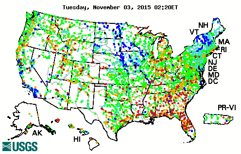
NWS river forecasts are based, to a great extent, on data from the U.S. Geological Survey stream-gaging stations. |
|||||
| USGS Current and Past Gage Readings | Alabama | Florida | Georgia | North Carolina | |
| South Carolina | Virginia | Mississippi | Puerto Rico | ||
| U.S. Geological Survey (USGS) Links | Local USGS Offices | New or reactivated streamgages | USGS Streamflow Information | Water Resources | |
| USGS | |||||
|
|
|||
| USACE District | Home Page | Water Management | River and Lake Levels |
|---|---|---|---|
| Mobile | |||
| Jacksonville | |||
| Savannah | |||
| Charleston | |||
| Wilmington | |||
|
Norfolk |
|||
|
Links |
Corps Message Back Up |
Savannah Proposals | Corps Lakes |
| Tenn-Tom Waterway | Savannah Water Control | ||
|
State Water Management Agencies & Power Companies |
||||
| Florida Water Management Districts | South Florida | Southwest Florida | St. Johns River | Northwest Florida
|
| Suwannee River | ||||
| Power Companies | Duke Power | South Carolina DNR | Alabama Power | Georgia Power |
| Other Data Resources | Hydrometeorological Automated Data System (HADS) | IFLOWS network | ||


