
A Pacific system will continue to bring moderate to heavy low elevation rain from northern California to western Washington, and heavy snow to the Cascades and Intermountain West over the next several days. Elevated to critical fire weather conditions will persist across the southern Rockies and Southern Plains through Wednesday as gusty winds and dry conditions continue across the region. Read More >
| Volunteer To Help Your National Weather Service | ||
|---|---|---|
 |
CoCoRaHS – The Community Collaborative Rain, Hail, and Snow Network
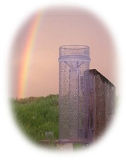
A 100% volunteer-driven, non-profit network of observers who measure 24 hour precipitation. It started in Colorado in 1998, and has since spread to all 50 States and parts of Canada. All you need is an inexpensive 4-inch diameter rain gauge, a ruler graduated in 1/10ths of an inch for measuring snow, a connection to the internet, and an interest in weather! |
 |
 |
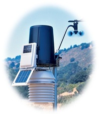
CWOP – The Citizen Weather Observing Program |
 |
 |
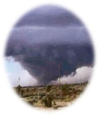
SKYWARN®â€‹ – Severe Weather Spotters Although SKYWARN® spotters provide essential information for all types of weather hazards, the main responsibility of a SKYWARN® spotter is to identify and describe severe local storms. Click here for spotter training dates. |
 |
 |
mPING – Meteorological Phenomena Identification Near the Ground mPING is a project designed to collect weather information from the public through their smart phone or mobile device with GPS location capabilities. Using the free mPING app, anyone can submit a weather observation anonymously. The data immediately goes into a database at NSSL and is displayed on a map that is accessible to everyone. mPING was deployed in 2012 and developed through a partnership between NOAA/NSSL, the University of Oklahoma, and the Cooperative Institute for Mesoscale Meteorological Studies. |
 |
 |
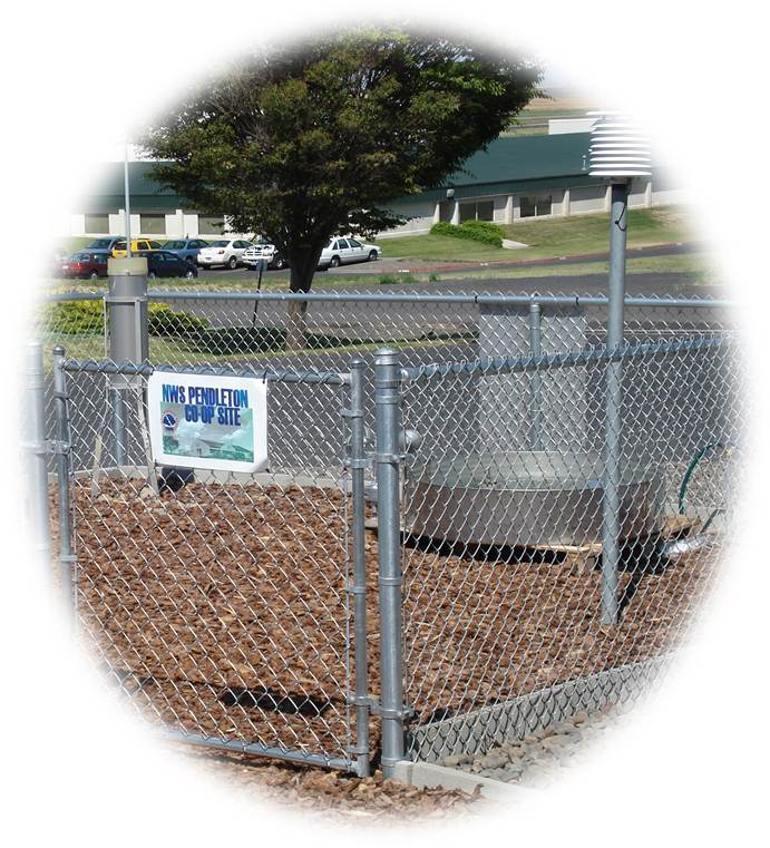
COOP – NWS Cooperative Weather Observer Program The COOP is the oldest volunteer observer program run by the National Weather Service. It forms the backbone of the nation's climate network. In this program, observers diligently record observations on a daily basis, consisting of precipitation, snowfall, high and low temperatures, as well as evaporation and soil temperatures at some sites. Data is sent by way of the internet or telephone to the local National Weather Service office. Their data is distributed to the public by way of NWS products and is also archived at the National Climatic Data Center. Because of limited funding, participation in the COOP program is strictly on a needs basis as determined by the National Weather Service. |
 |