
Thunderstorms, some severe, may produce heavy to excessive rainfall and isolated flooding over portions of the Southern Plains through Saturday. Widespread showers and thunderstorms will spread east into the Great Lakes, Ohio Valley, Mid Atlantic and Northeast. Dry conditions, combined with gusty winds will continue to support an elevated fire weather threat in the Desert Southwest. Read More >
Pendleton, OR
Weather Forecast Office
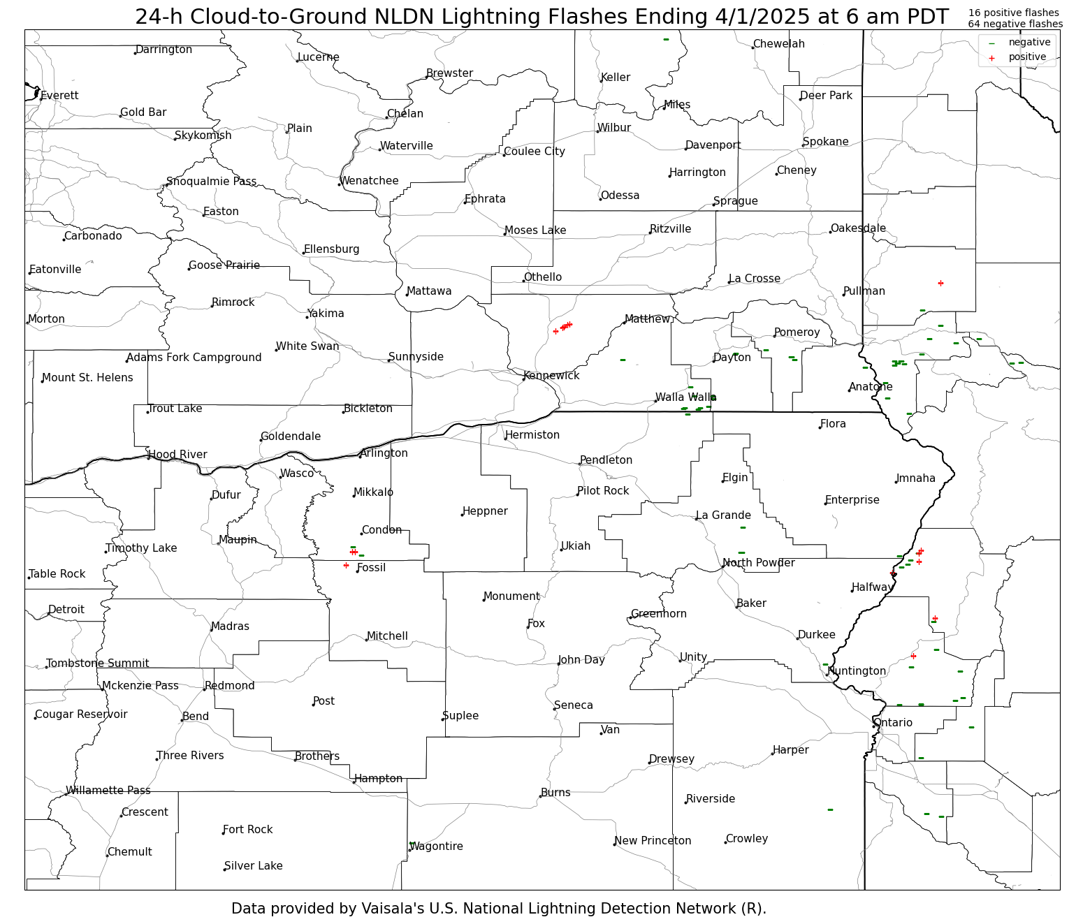
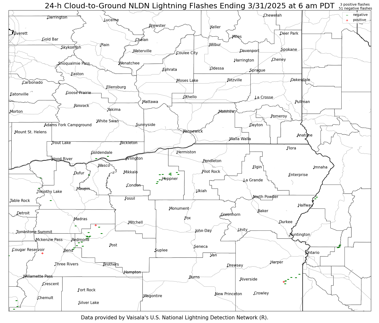
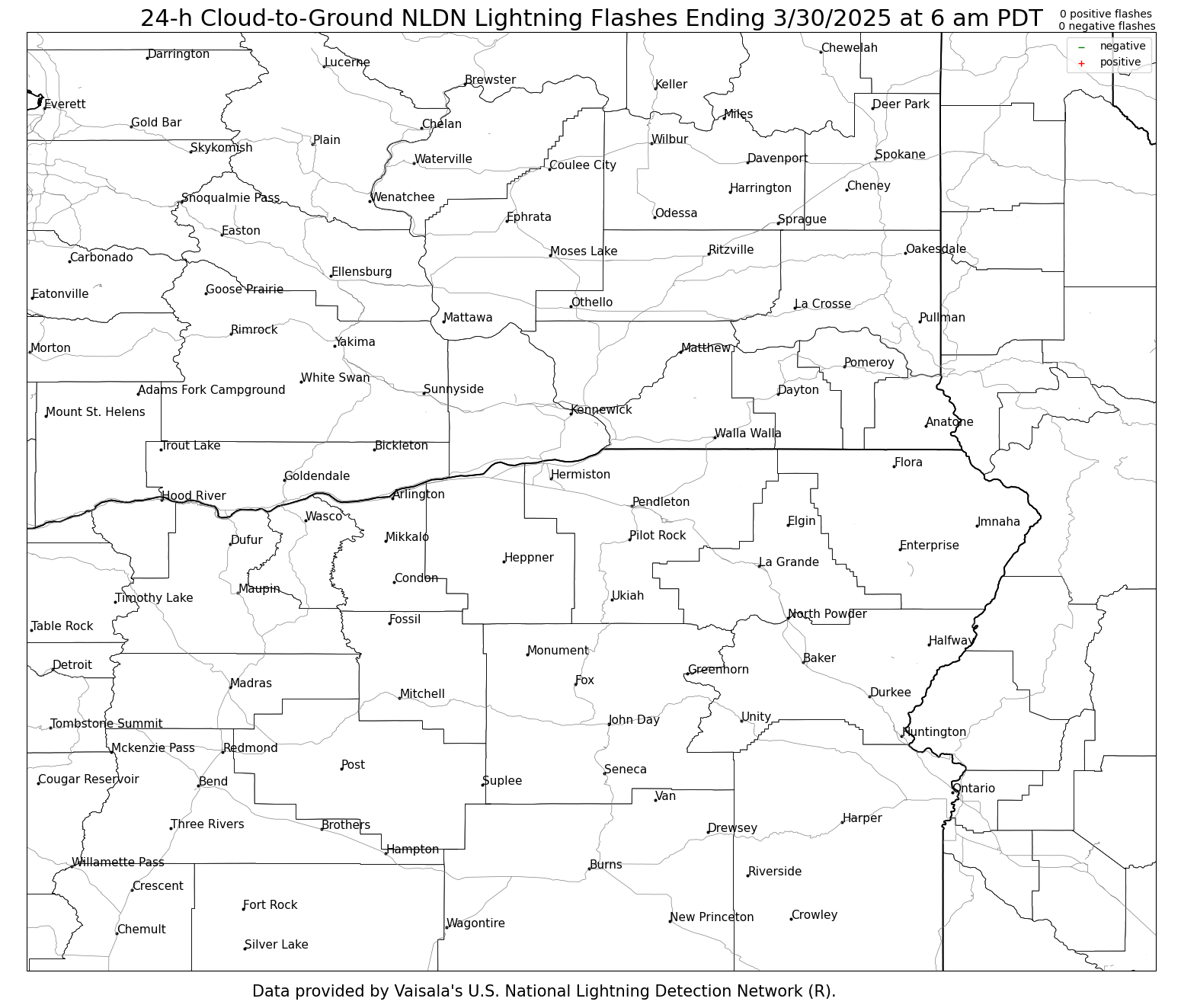
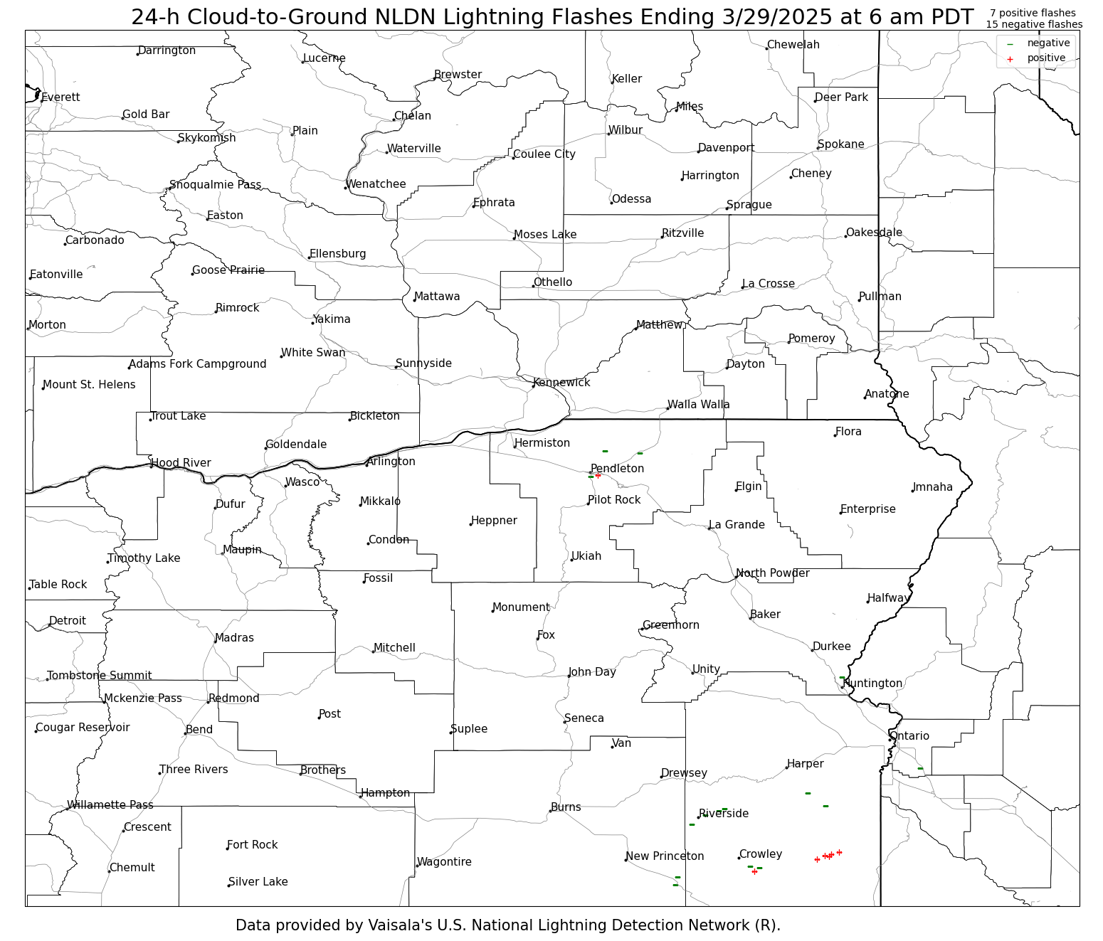
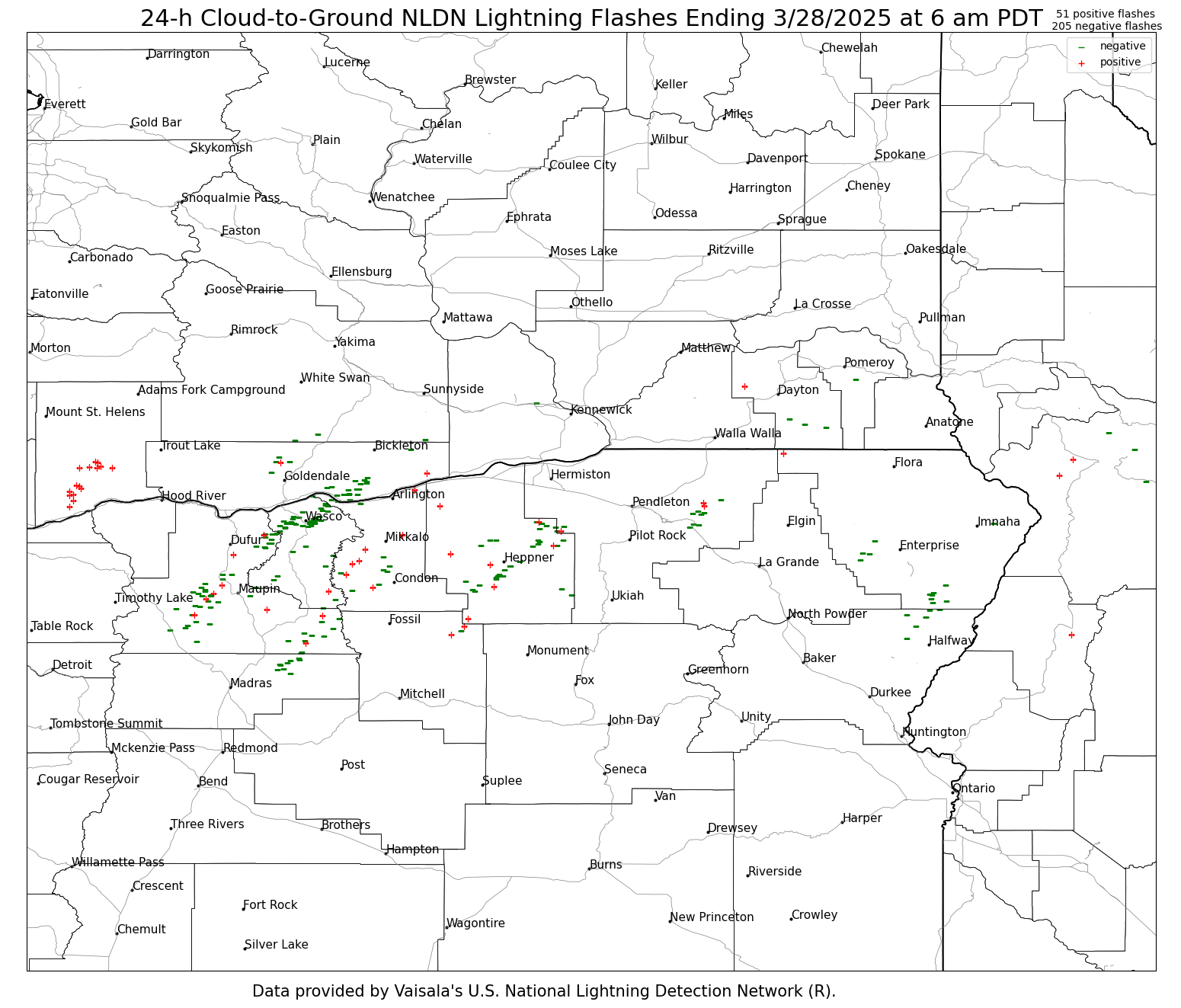
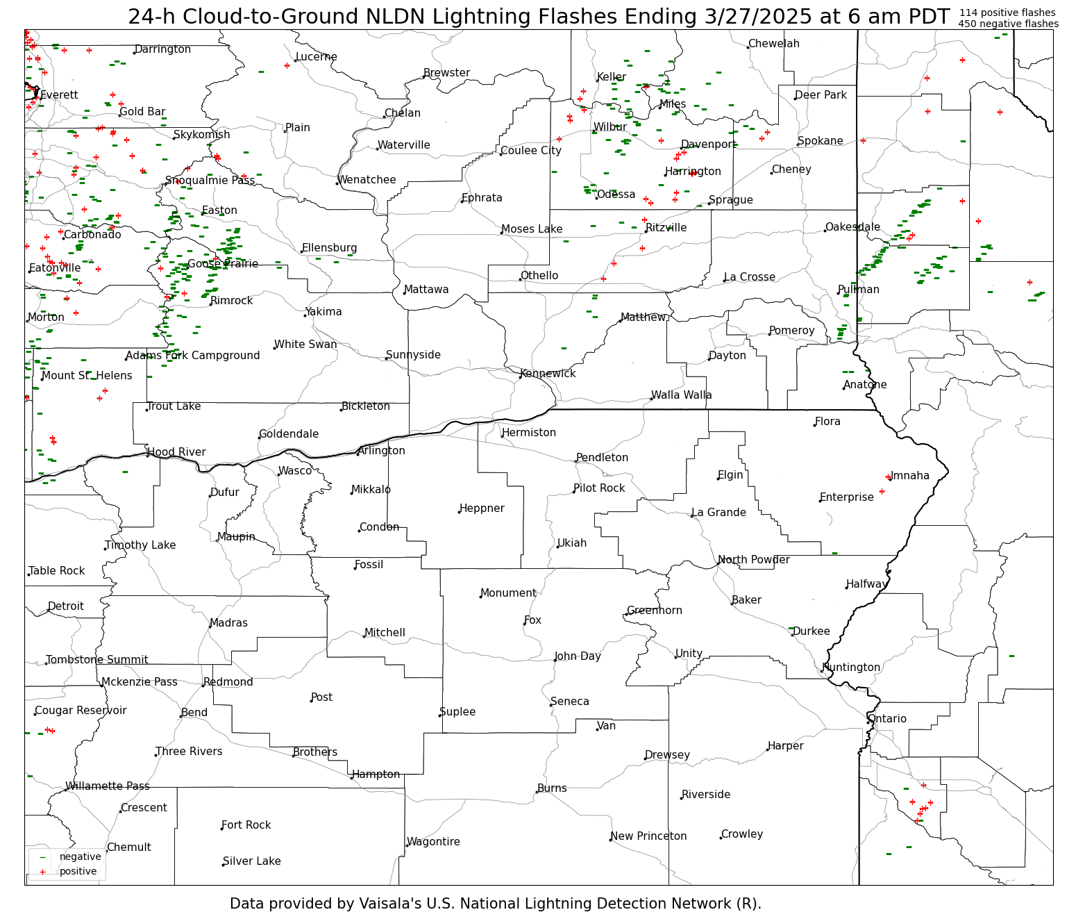
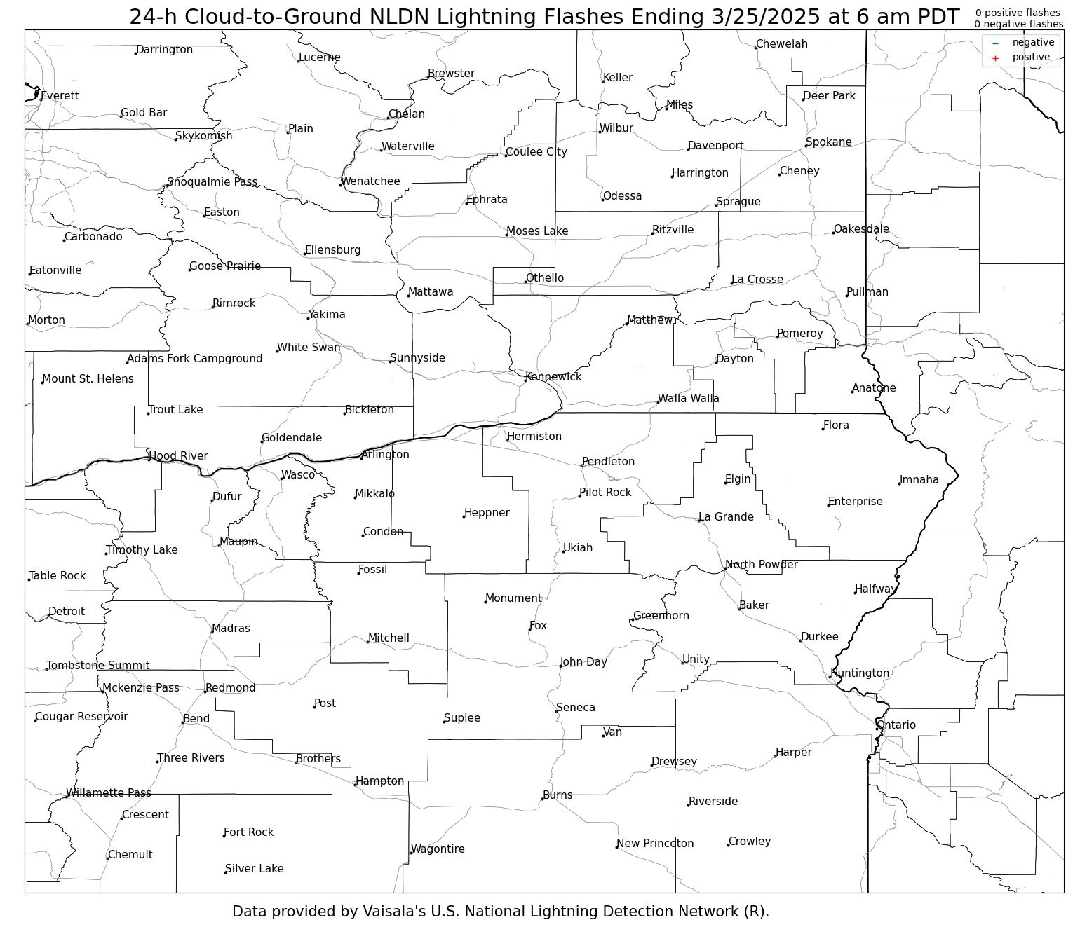
The lightning images below are updated daily around 7:30–8:30 AM and contain 24-h accumulations of lightning ending at 6 am PDT (5 am PST) each day. These are NLDN cloud-to-ground flashes. Cloud-to-ground lightning flashes are based on a surface detection network. Mouse over each day to view the 24-h cumulative lightning flash maps. Printable versions are at the bottom.
| 24-h Cumulative NLDN Cloud-to-Ground Lightning Flashes |
Yesterday | 2 Days Ago | 3 Days Ago | 4 Days Ago | 5 Days Ago | 6 Days Ago | 7 Days Ago | 8 Days Ago |
 |
||||||||
Printable: Yesterday, 2 Day Ago, 3 Days Ago, 4 Days Ago, 5 Days Ago, 6 Days Ago, 7 Days Ago, 8 Days Ago
US Dept of Commerce
National Oceanic and Atmospheric Administration
National Weather Service
Pendleton, OR
2001 NW 56th Drive
Pendleton, OR 97801
(541) 276-4493
Comments? Questions? Please Contact Us.

