
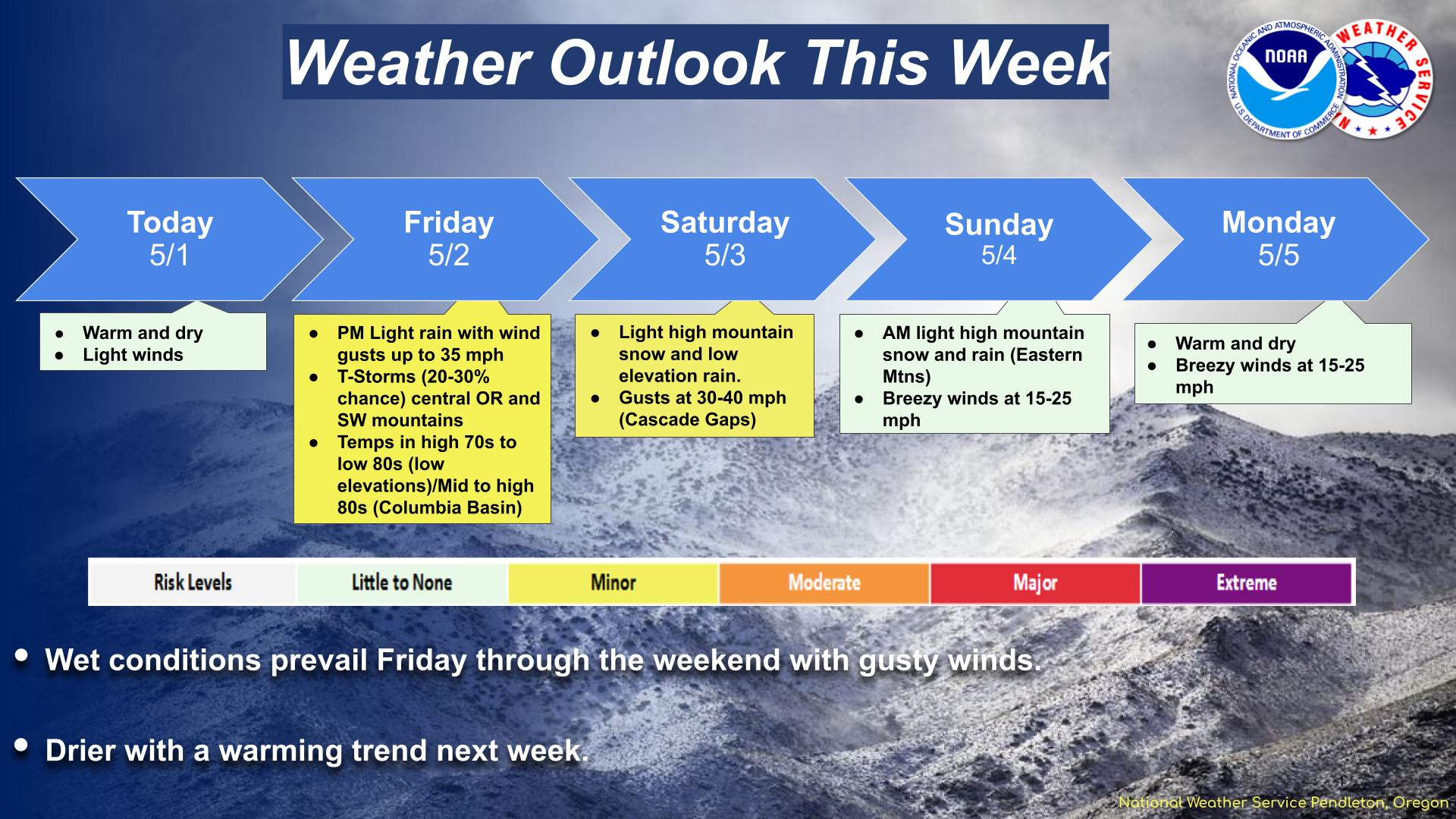
Heavy to excessive rainfall is forecast over north Texas into Oklahoma Tuesday. Locally catastrophic flooding will be possible across portions of southwest Oklahoma. Flood Watches have been issued. Scattered severe thunderstorms are possible within a broad swath from the lower Great Lakes to the southern High Plains Tuesday afternoon into the evening. Read More >
Last Map Update: Mon, Apr 28, 2025 at 11:58:19 pm PDT

|
Text Product Selector (Selected product opens in current window)
|
|


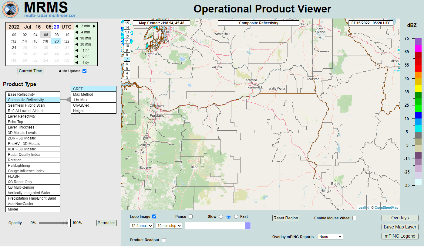 MRMS Radar Imagery
 Radar
Radar Satellite
 Graphical Forecasts
 Forecast Weather Tables
 Forecast Discussion
 Current Weather
 Climate
 Recent Temperatures
 Hour by Hour Forecast
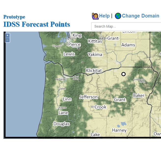 Alternate Point Forecast
 Forecast Maps
 Fire Weather
 Precipitation Amount Potential
 Rivers & Lakes
 Drought
 Air Quality