National Weather Service United States Department of Commerce

Heat Continues for the East and South-Central U.S.; Strong to Severe Storms Across the Mid-Atlantic and Northeast

The extremely dangerous heat wave continues across the East Coast and much of the South-Central U.S. today. Record high temperatures are expected for some areas especially across the Mid-Atlantic where extreme heat risk conditions reside. There is a Slight Risk (level 2 of 5) of severe thunderstorms today for the northern Mid-Atlantic into portions of southern New England. Read More >

West Hill Dam, Uxbridge, MA


The West Hill Dam is a U.S. Army Corps of Engineers flood control dam and wildlife preserve built to
protect the Blackstone River Valley from devastating flooding, like the ones experienced as a result
of Hurricane Diane in August of 1955. The dam is located on the West River, which is a tributary to
the Blackstone River. The West River flows into the Blackstone River downstream of the Northbridge,
MA (NBRM3) river forecast point, but upstream of the Woonsocket, RI (WOOR1) river forecast point.


Photograph of the West River, just upstream of the West Hill Dam, Uxbridge, MA

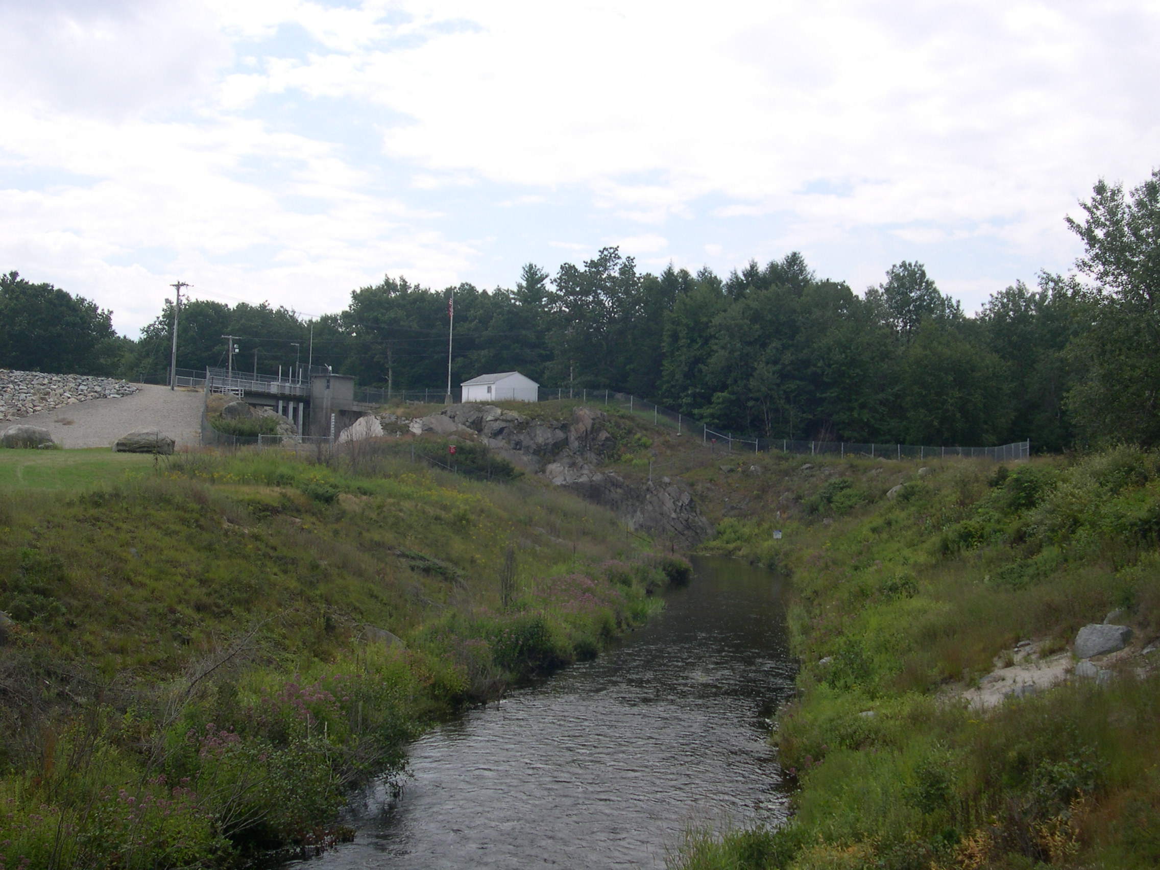
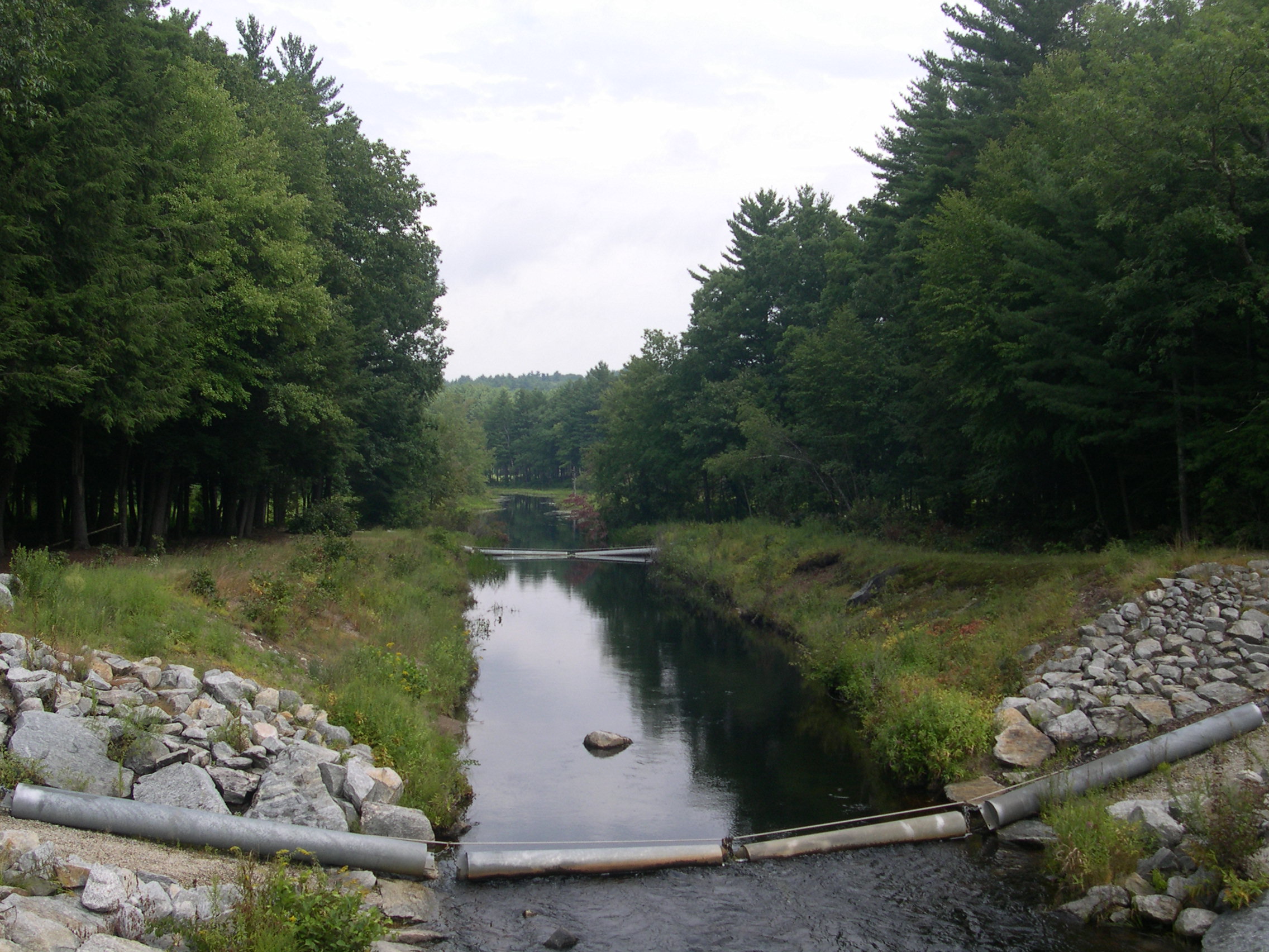
Pictured above is the West River, just upstream of the West Hill Dam, Uxbridge, MA


Hydrologic Observations and Forecast Links for the West River below the West Hill Dam


USGS Real-Time Water Data Information


Additional Images along the West Hill Dam, Uxbridge, MA


Please click on an image for an enlarged picture
 
Photograph of the West Hill Dam, Uxbridge, MA      Photograph of the West Hill Dam gage house      Photograph of the West Hill Dam      Photograph of the West River, looking upstream from the West Hill Dam
 
Photograph of the West River, looking downstream from the West Hill Dam      Photograph of the West Hill Dam staff gage on the West River      Photograph of the West Hill Dam staff gage on the West River      Photograph of the West Hill Dam
 
Photograph of the West River, upstream from the West Hill Dam      Photograph of the Harrington Pool on the West River      Photograph downstream of the Harrington Pool on the West River      Photograph of the Harrington Pool high water mark, which occurred in April 1993