Sudbury River at Saxonville, MA (SAXM3)
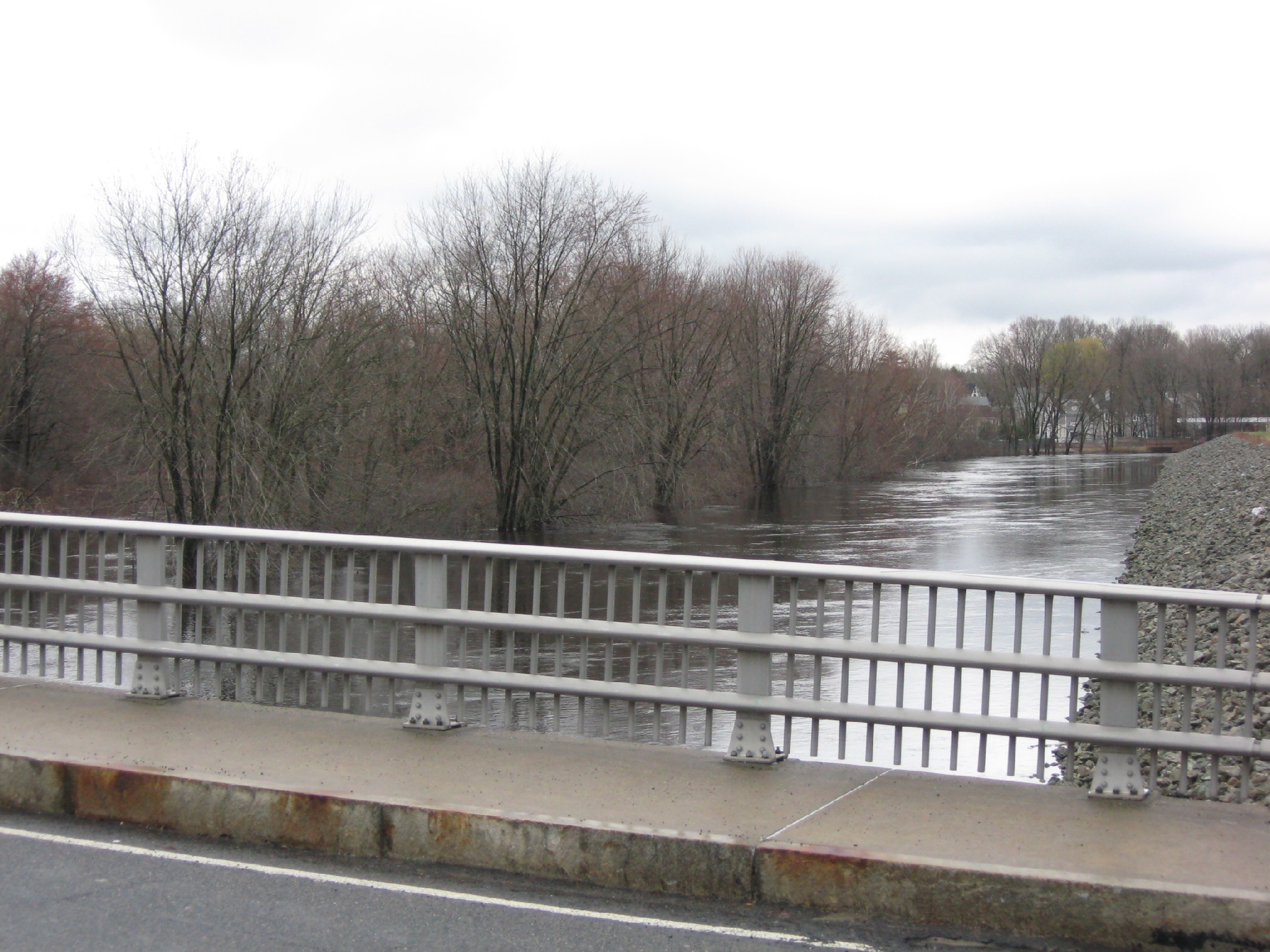
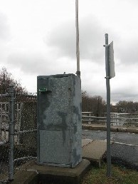
Pictured above is the Sudbury River at Saxonville, MA (SAXM3) looking downstream
Hydrologic Observations and Forecast Links for Saxonville, MA (SAXM3)
Current Forecast Hydrograph and Gage Information
USGS Real-Time Water Data Information
Flood Categories and Historical Crests
Additional Images along the Sudbury River at Saxonville, MA (SAXM3)
Please click on an image for an enlarged picture

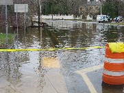
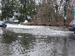
Record Flood Pictures along the Sudbury River at Saxonville, MA (SAXM3)
On Wednesday, March 31, 2010, the Sudbury River at Saxonville, MA rose and crested at 13.6 feet, which is
over major flood stage and a new record flood stage for this location. The photos below are of a dam
along the Sudbury River in Saxonville (first two), just downstream of the dam (third picture), river
flooding along Pelham Island Road in Wayland (fourth picture), flooding near Potter Street in Wayland
(fifth picture), river flooding of a house on Stonebridge Road in Wayland (sixth-eighth pictures),
and flooding at the intersection of Routes 20 and 27 in Wayland, MA (last three pictures).
Please click on an image for an enlarged picture
