Record Flooding on the St. John, Fish, and Aroostook Rivers, April-May 2008
The combination of snowmelt from record snowfall during the 2007-2008 winter season and between 1.5 and
5 inches of rain resulted in major and record flooding on the St. John and Fish Rivers from April 30th
through May 1, 2008. This flooding resulted in the closure of many roads and International Bridge,
evacuated over 600 people, and flooded many roads, yards, and houses. The Fish River at Ft. Kent (FIHM1)
crested 13.93 feet on April 30th, the St. John River at Ft. Kent (FTKM1) crested at 30.14 ft on April
30th, the St. Francis River near Conners, New Brunswick (STFB3) crested at 15.93 ft on May 1st, and the
Aroostook River at Masardis (MASM1) crested at 18.33 ft on May 1st, which were all record flood levels.
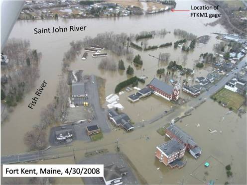
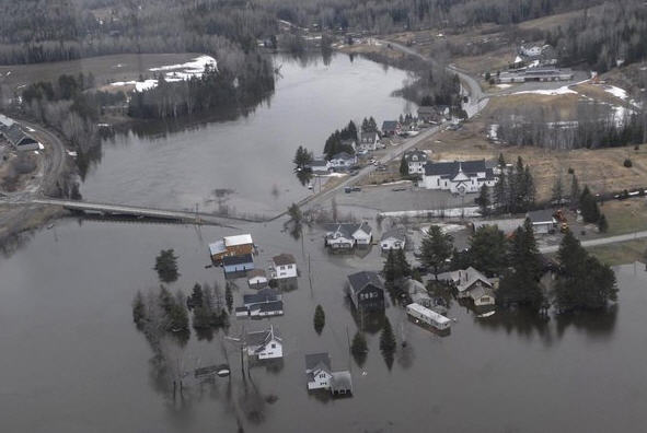
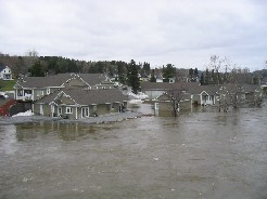
Pictured above is flooding in Ft. Kent, ME at the confluence of the Fish River with the St. John River on April 30, 2008
Picture courtesy of the Bangor Daily News
Additional Images of the Record Flooding on the St. John, Fish, and Aroostook Rivers, April-May 2008
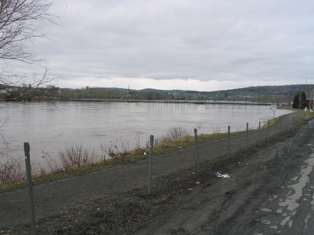
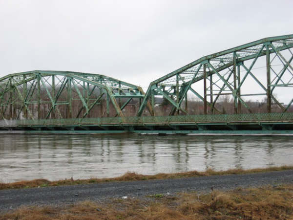
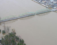
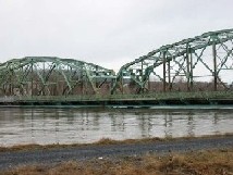
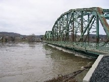
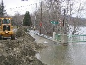
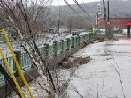
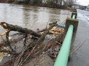
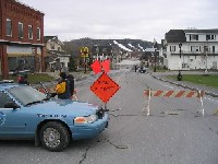
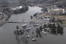
Pictures of International Bridge between Maine and New Brunswick
Please click on an image for an enlarged picture
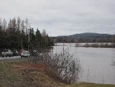
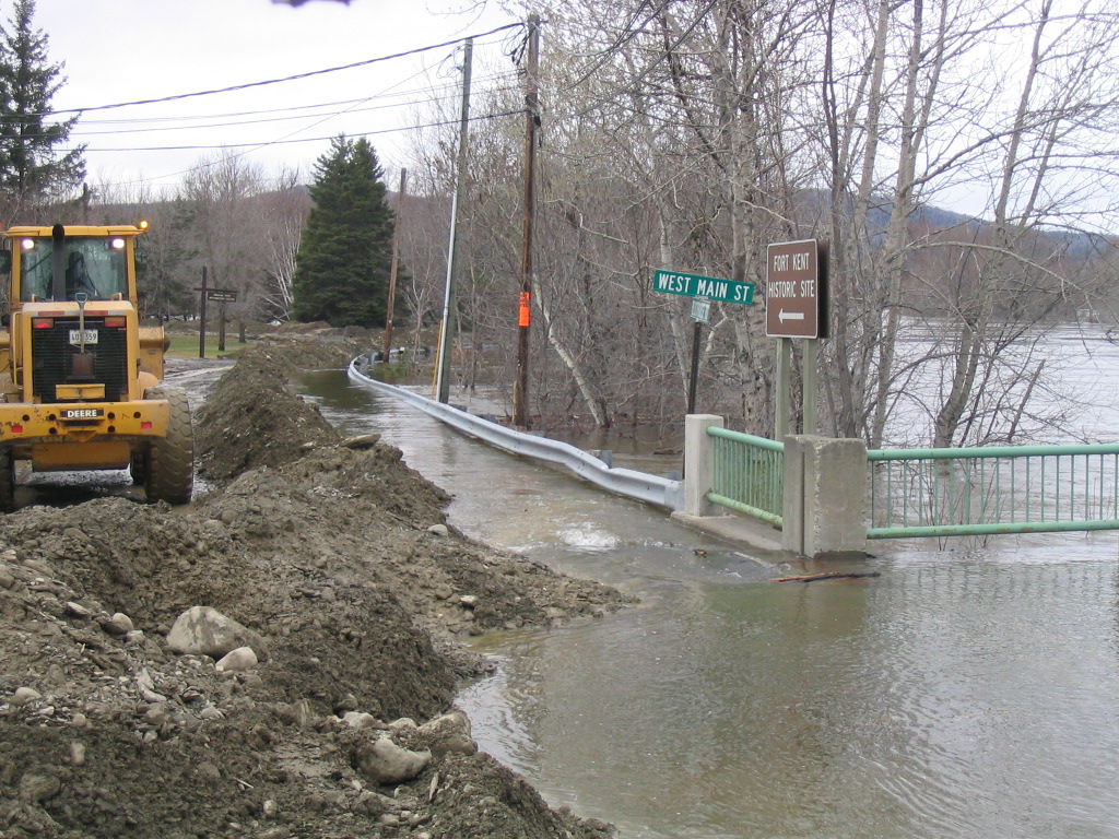
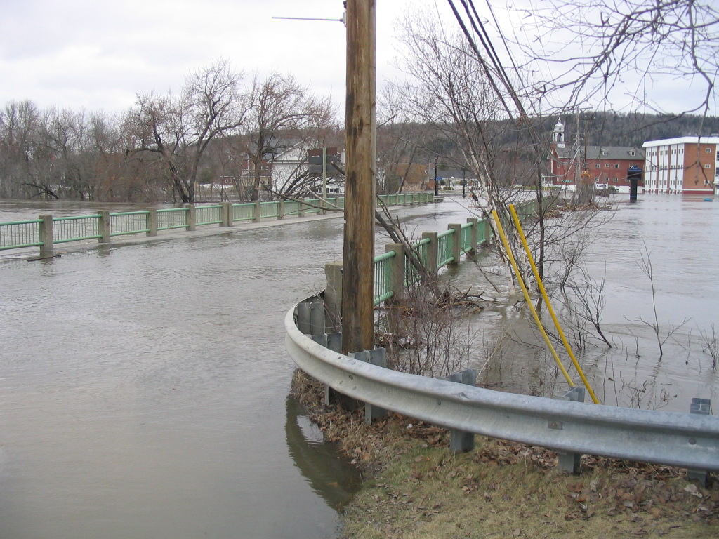
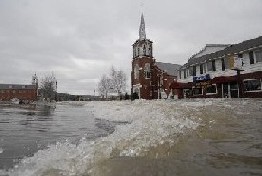
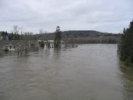
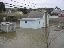
 Pictures of flooding of the Fish River along Main Street in Fort Kent, ME on April 30, 2008
Please click on an image for an enlarged picture
Pictures of flooding of the Fish River along Main Street in Fort Kent, ME on April 30, 2008
Please click on an image for an enlarged picture

 Pictures of flooding of the Fish River along Main Street in Fort Kent, ME on April 30, 2008
Please click on an image for an enlarged picture
The second and third pictures are courtesy of the Bangor Daily News
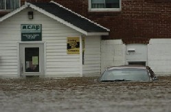
Pictures of flooding of the Fish River along Main Street in Fort Kent, ME on April 30, 2008
Please click on an image for an enlarged picture
The second and third pictures are courtesy of the Bangor Daily News

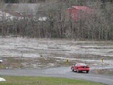
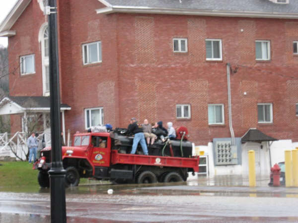
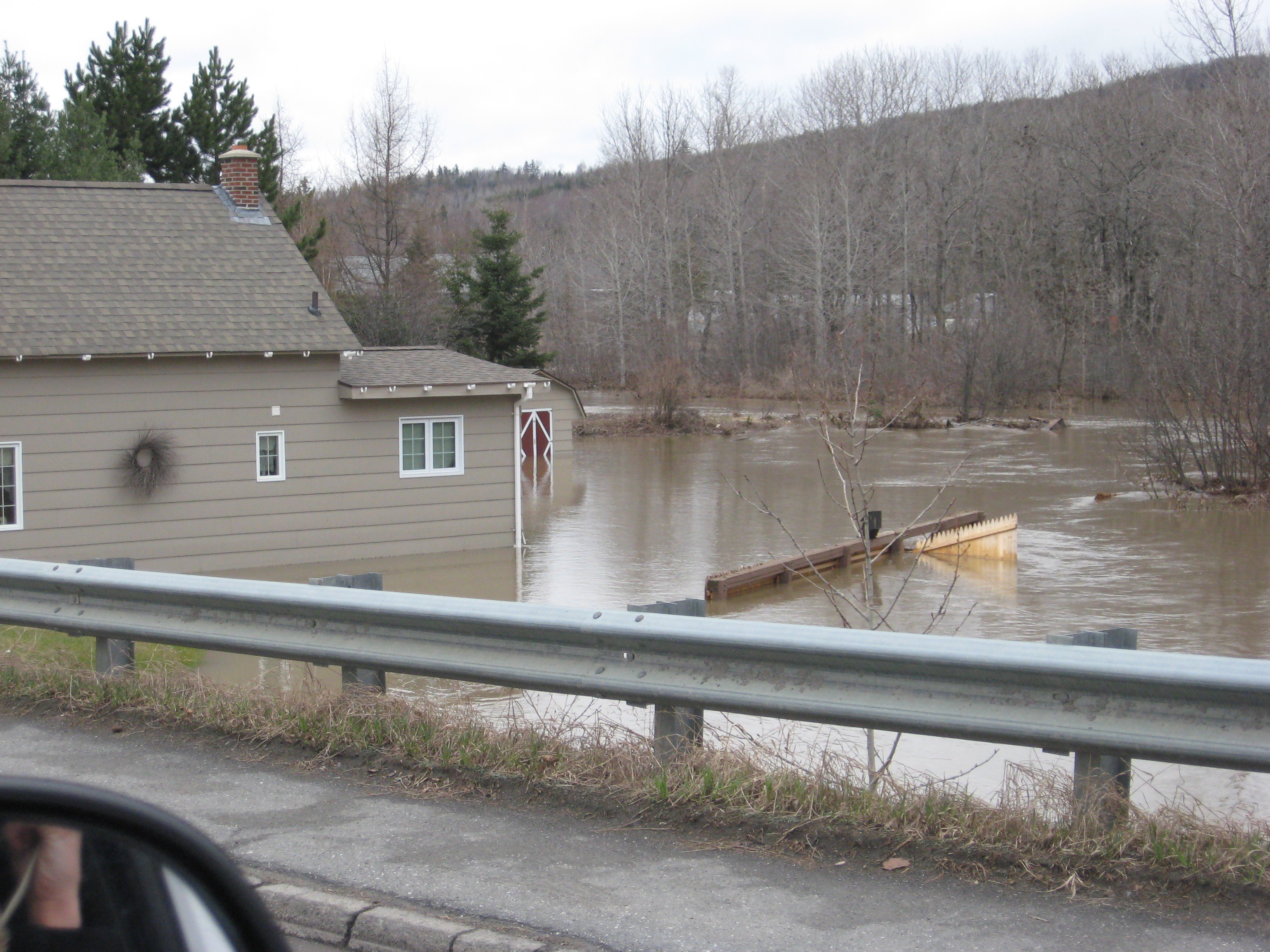
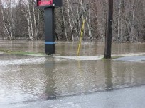
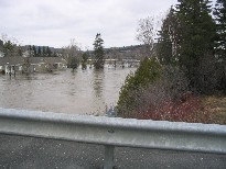
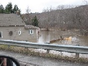
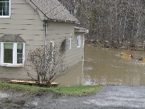
 Pictures of flooding of the Fish River along Route 11/Pleasant Street in Fort Kent, ME on April 30, 2008
Please click on an image for an enlarged picture
Pictures of flooding of the Fish River along Route 11/Pleasant Street in Fort Kent, ME on April 30, 2008
Please click on an image for an enlarged picture
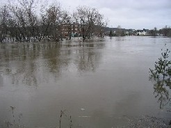
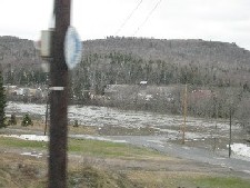
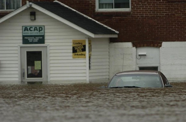
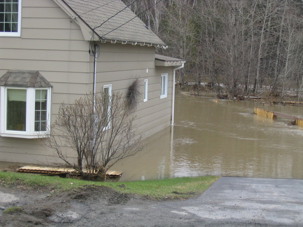
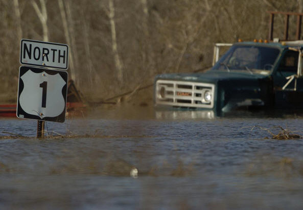
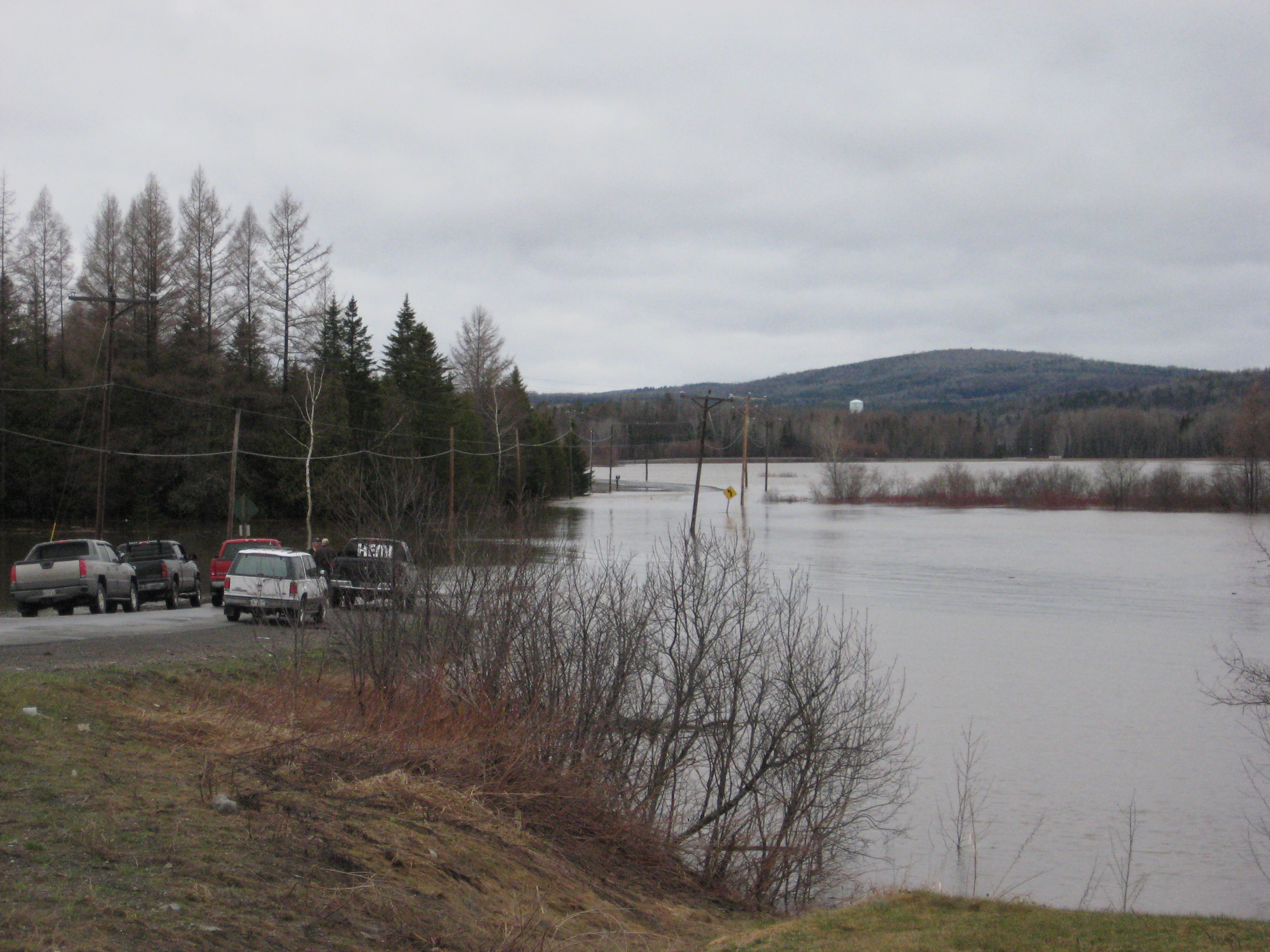
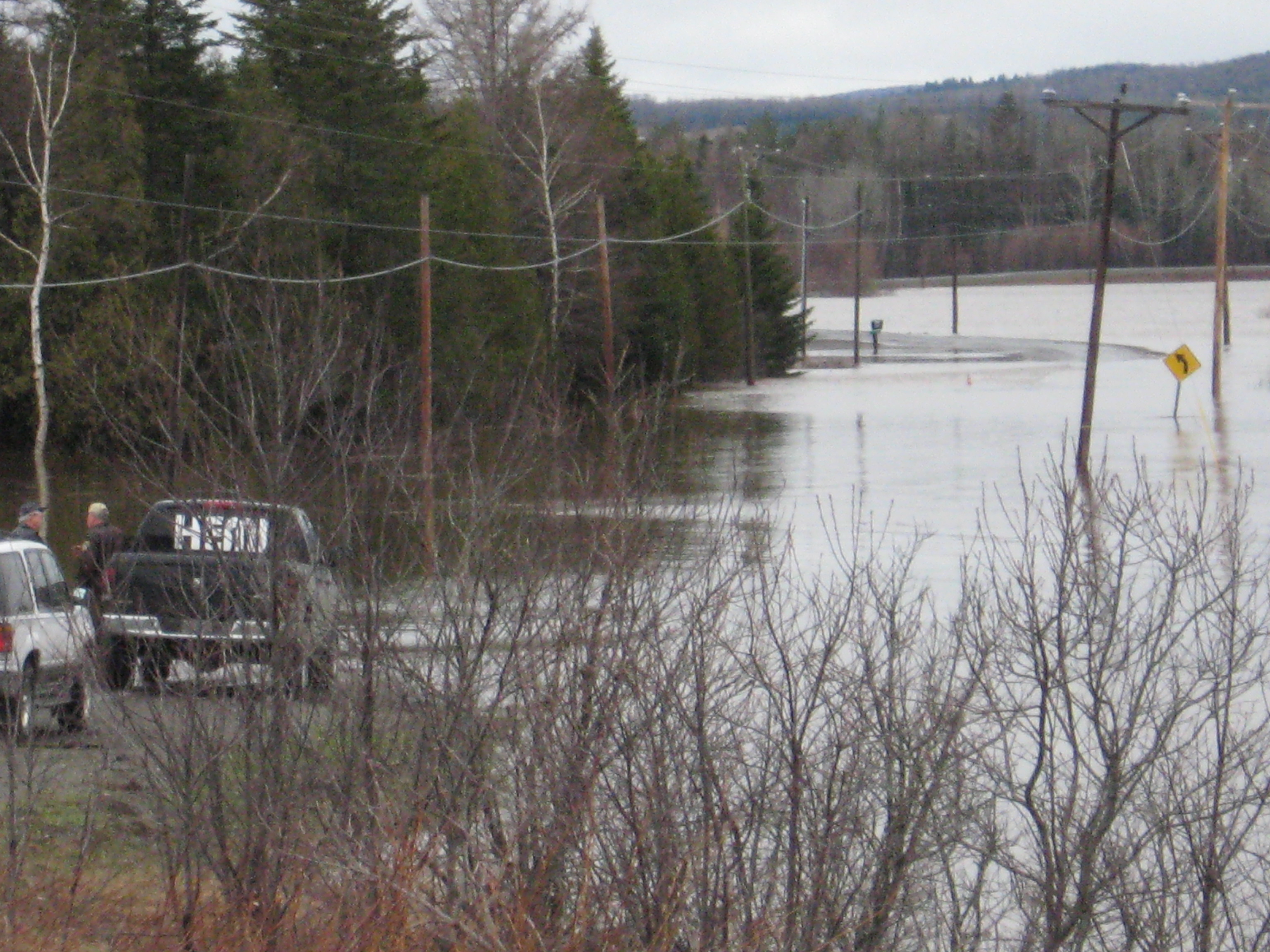
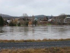
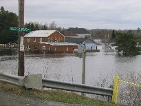
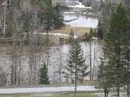
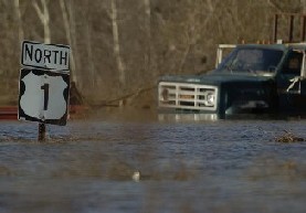
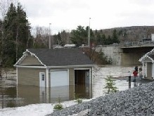 Pictures of flooding of the Fish River along/near Route 161/Market Street in Fort Kent, ME on April 30, 2008
Please click on an image for an enlarged picture
Pictures of flooding of the Fish River along/near Route 161/Market Street in Fort Kent, ME on April 30, 2008
Please click on an image for an enlarged picture
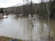

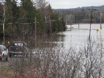
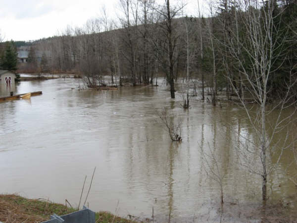
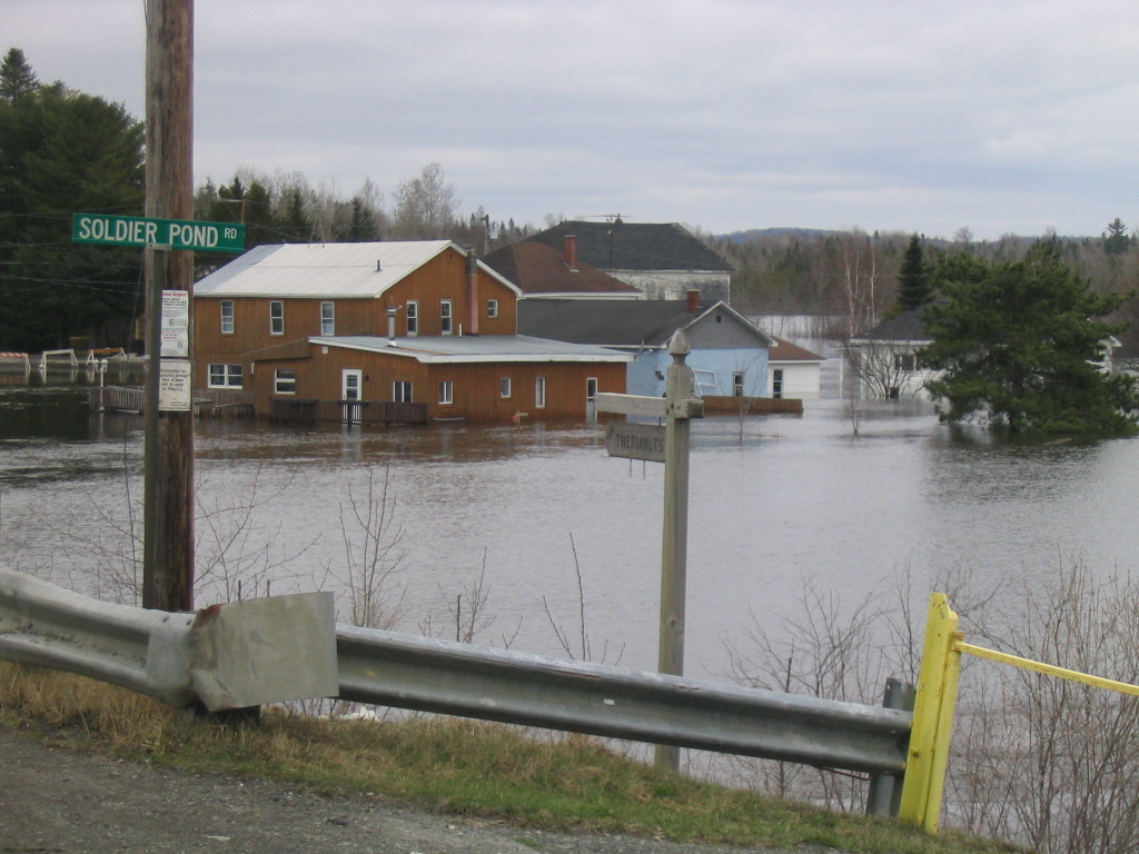
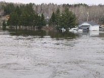
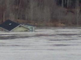
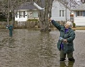
 The first three pictures below are of flooding of the Fish River in Soldier Pond, ME, and the
last two pictures below are of floooding of the St. John River in Ft. Kent, ME on April 30, 2008.
Please click on an image for an enlarged picture
The first picture is courtesy of the Bangor Daily News
The first three pictures below are of flooding of the Fish River in Soldier Pond, ME, and the
last two pictures below are of floooding of the St. John River in Ft. Kent, ME on April 30, 2008.
Please click on an image for an enlarged picture
The first picture is courtesy of the Bangor Daily News
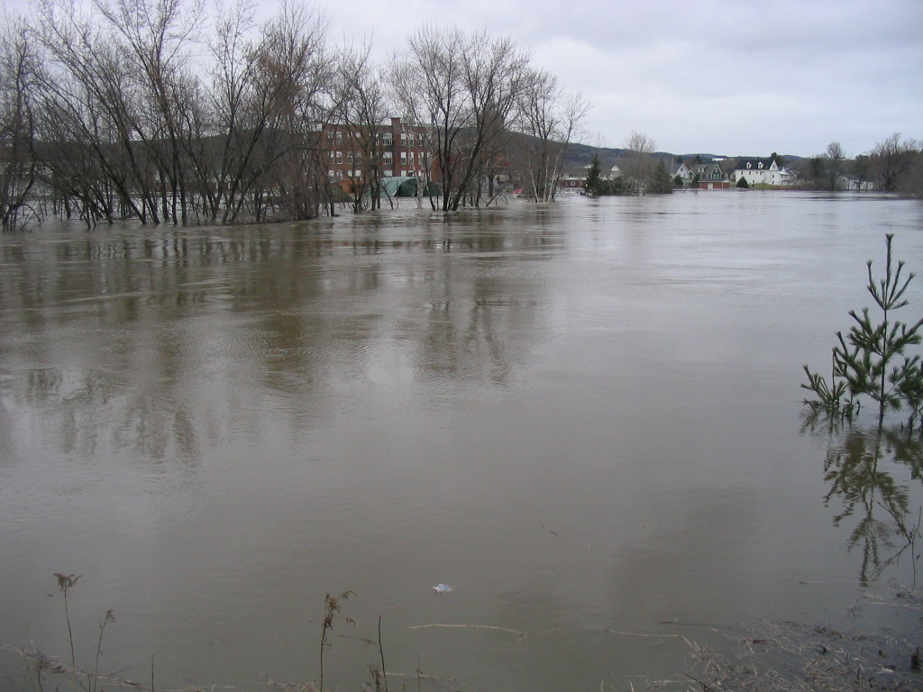
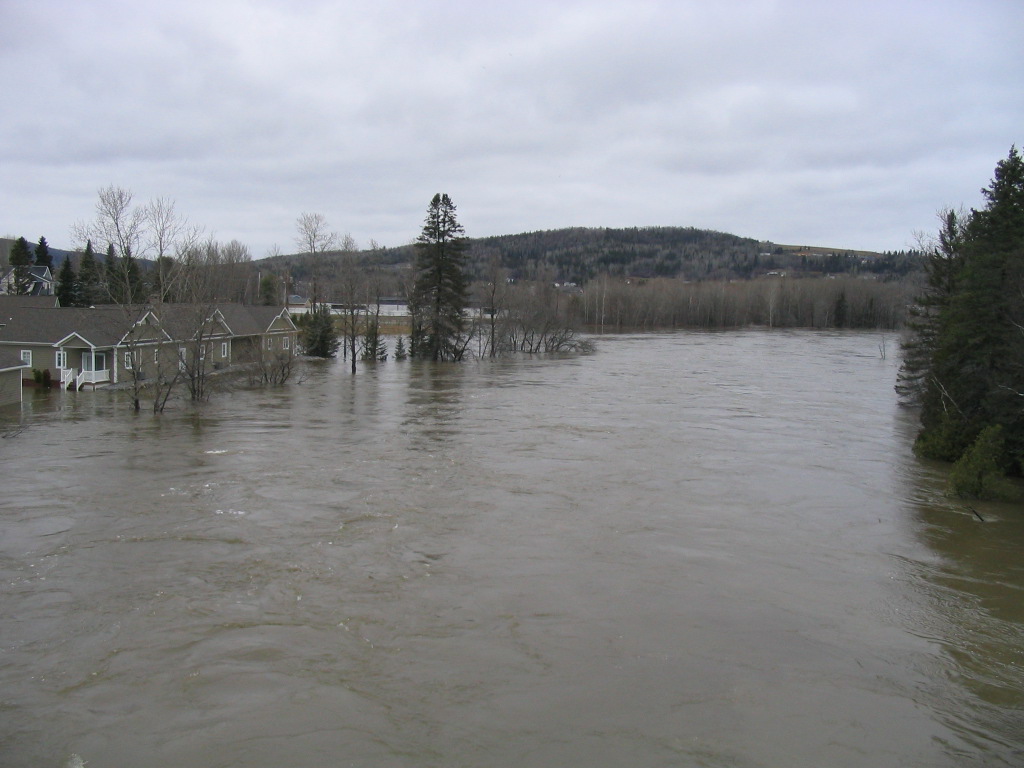
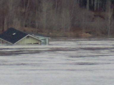
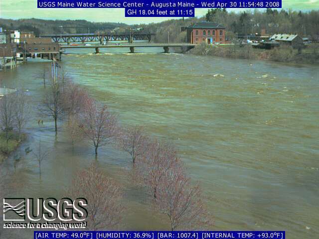
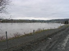
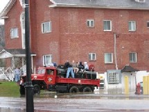
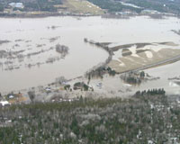
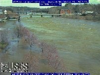
 Additional images of the major and record flooding along the Fish and St. John Rivers on April 30, 2008. The
first three images are when FIHM1 reached 13.8 ft, FISM1 reached 29.7 ft, and AUGM1 reached 18 ft, respectively.
Please click on an image for an enlarged picture
The fourth and fifth pictures are courtesy of the Bangor Daily News
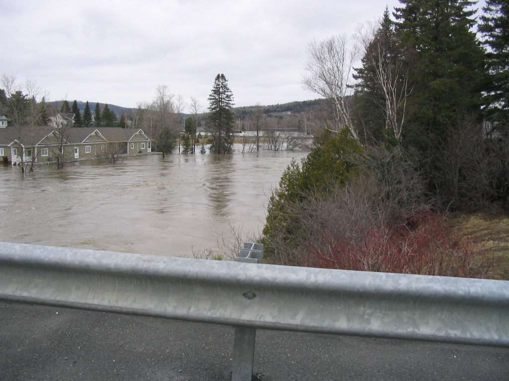
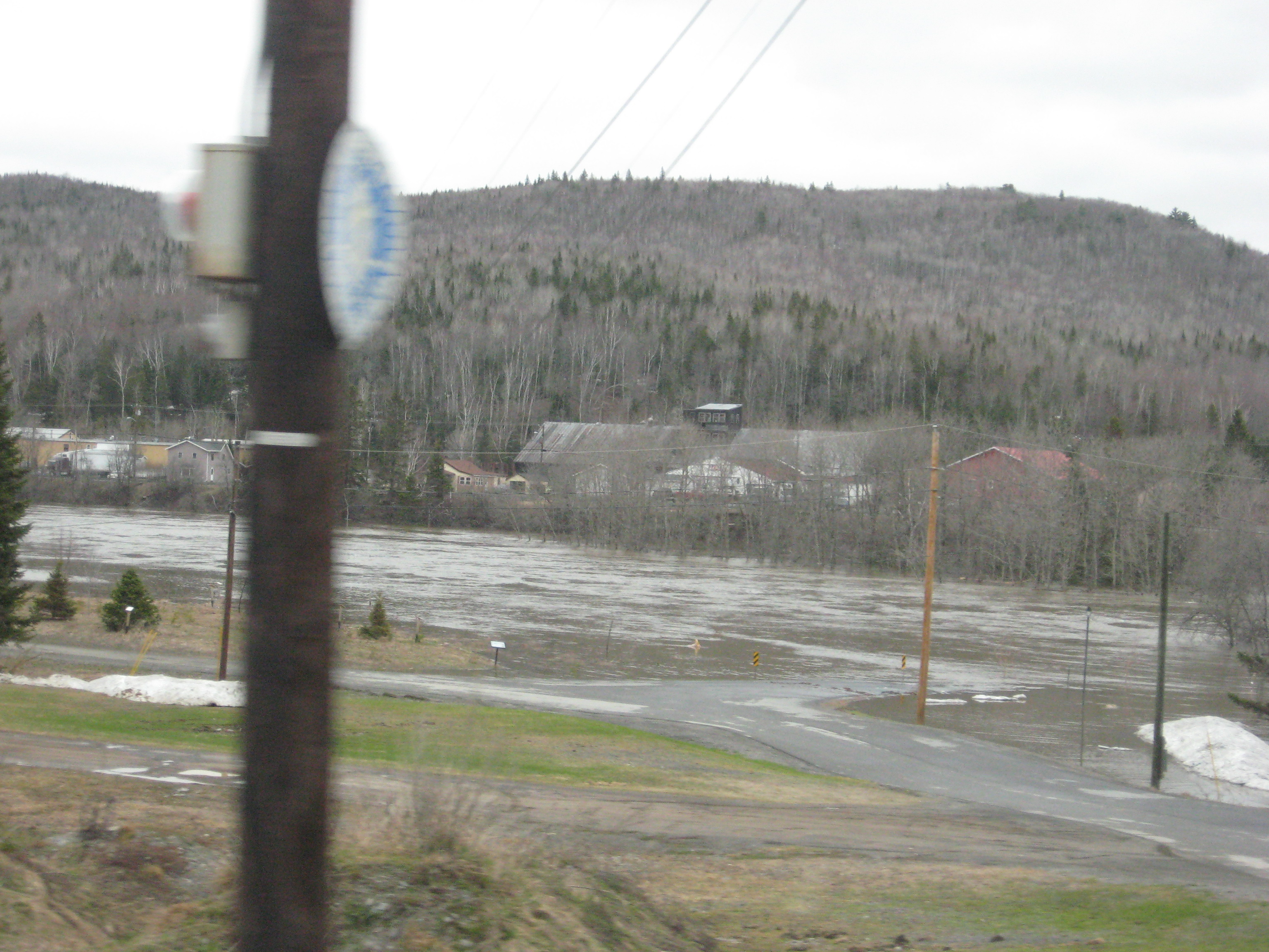
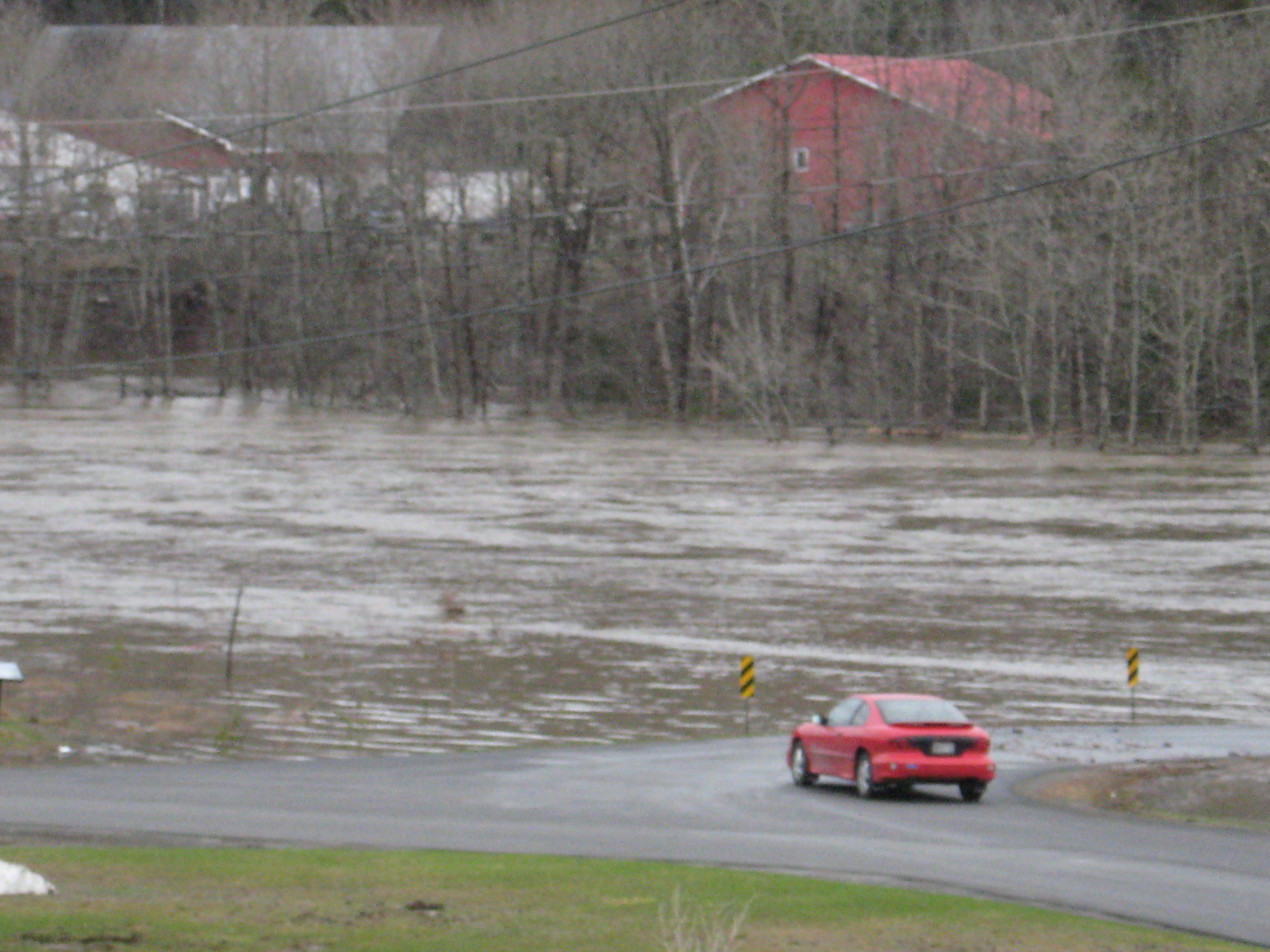
Additional images of the major and record flooding along the Fish and St. John Rivers on April 30, 2008. The
first three images are when FIHM1 reached 13.8 ft, FISM1 reached 29.7 ft, and AUGM1 reached 18 ft, respectively.
Please click on an image for an enlarged picture
The fourth and fifth pictures are courtesy of the Bangor Daily News

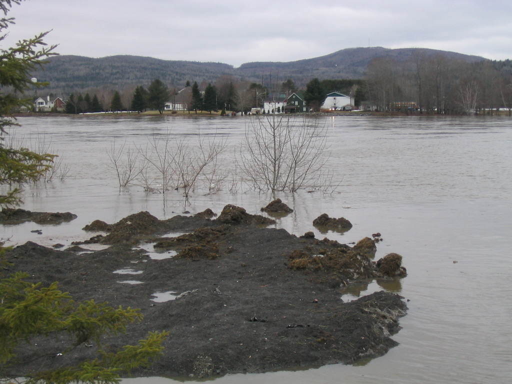
 Additional images of the major and record flooding along the Fish and St. John Rivers on April 30, 2008.
Please click on an image for an enlarged picture
The fifth (last) picture is courtesy of the Bangor Daily News
Additional images of the major and record flooding along the Fish and St. John Rivers on April 30, 2008.
Please click on an image for an enlarged picture
The fifth (last) picture is courtesy of the Bangor Daily News