National Weather Service United States Department of Commerce

Powerful Pacific System Impacting the West; First Significant Snow for Portions of the East

Power Pacific system will continue to bring significant impacts for Pacific Northwest into northern California the remainder of the week. Dangerous coastal affects, heavy rain, flooding, strong winds, and higher elevation mountain snow continues. Meanwhile, a storm across the east is set to bring the first accumulating snow to many higher elevations of the Catskills into the central Appalachians. Read More >

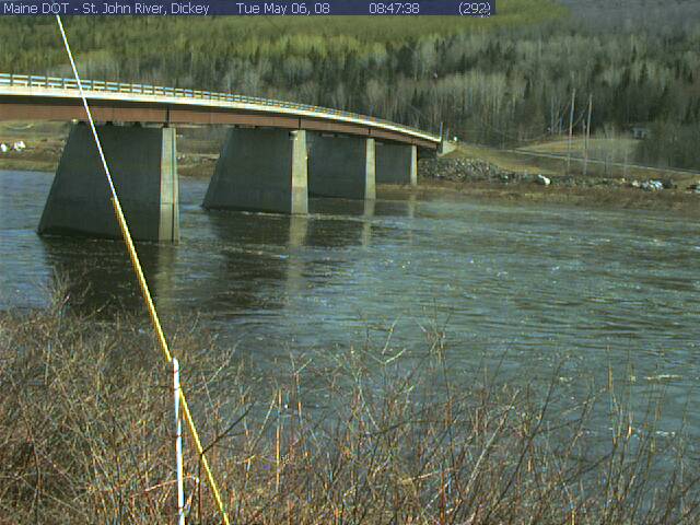
St. John River at Dickey, ME (DICM1)


Photograph of the St. John River at Dickey, ME (DICM1)
Pictured above is the St. John River at Dickey, ME (DICM1)


Hydrologic Observations and Forecast Links for Dickey, ME (DICM1)


Current Forecast Hydrograph and Gage Information 
USGS Real-Time Water Data Information 
Flood Categories and Historical Crests


River Ice Images


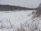
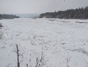
The pictures of snow and river ice along the St. John River downstream of Dickey, ME shown below
were taken in December 2003. The ice pictured below is about 12 inches thick. These pictures are
courtesy of the Caribou Weather Forecast Office. Please click on an image for an enlarged picture.


Photograph of snow and river ice along the St. John River downstream of Dickey, ME in December 2003      Photograph of snow and river ice along the St. John River downstream of Dickey, ME in December 2003