Significant Flooding Along the Blackstone River in Rhode Island, March 31, 2010
Pre-existing elevated river levels and saturated soil conditions from recent
significant heavy rainfall combined with another round of significant rain
to produce flooding along the Blackstone River in northern Rhode Island
late March through early April 2010. The Blackstone River at Woonsocket, RI
(WOOR1) crested at 14.4 ft, which is 2.4 ft above its 12 ft moderate flood stage and
5.4 ft above its 9 ft minor flood stage, on Wednesday morning, March 31st 2010.
WOOR1 crested ~1 ft higher during the October 2005 floods than it did during this
latest flood event. The Blackstone River flooding of 2010 caused flooding on many
roads, as well as in businesses and houses in the Cumberland, Lincoln, and Pawtucket areas.

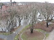
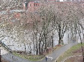
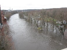
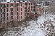
Pictured above is flooding along the Blackstone River at Ashton Mill on the Cumberland/Lincoln town line.
This picture was taken from the Rte. 116 bridge on Wednesday morning, March 31, 2010.
Additional Images of the Significant Flooding Along the Blackstone River in Rhode Island, March 31, 2010
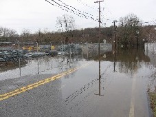
The first picture was taken on Ann and Hope Way looking towards Mendon Road/Route 122 in Cumberland, RI.
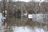
The second picture shows some of the flooded businesses on Ann and Hope Way in Cumberland, RI. Pictures
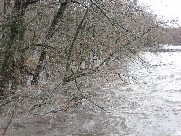
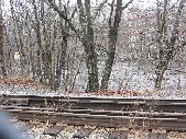
3-5 were taken of the Blackstone River by WDDZ Radio in Pawtucket, RI near John Street/Route 123.
Please click on an image for an enlarged picture

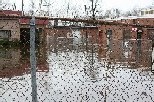
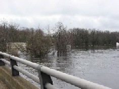
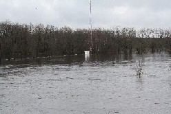
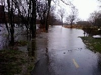
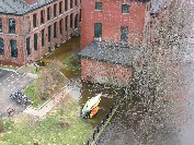
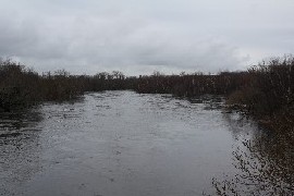 The eight pictures below were taken of flooding along the Blackstone River near Ashton Mills
and the Blackstone River Bike Path on the Cumberland/Lincoln, RI town line. Most of these
pictures were taken from the Route 116 bridge looking down at the Blackstone River. The
fourth picture was taken by amateur radio operator Paul Taschereau (KB1QQR).

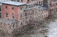
 The first two pictures below were taken of flooded businesses on Martin Street in Cumberland, RI.
Pictures 3-6 were taken near/of Albian Mills on the Lincoln/Cumberland, RI town line.
Please click on an image for an enlarged picture
