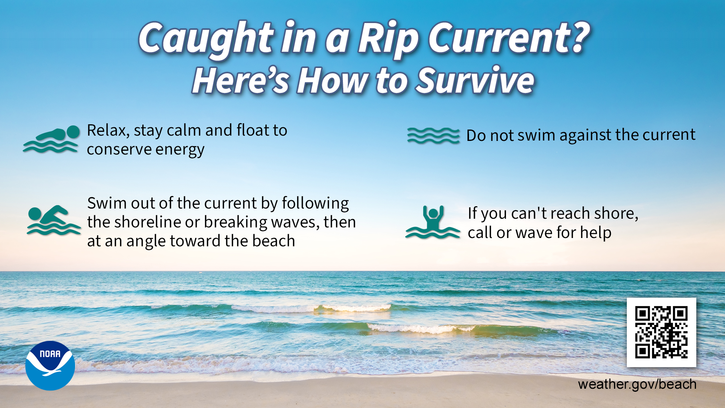
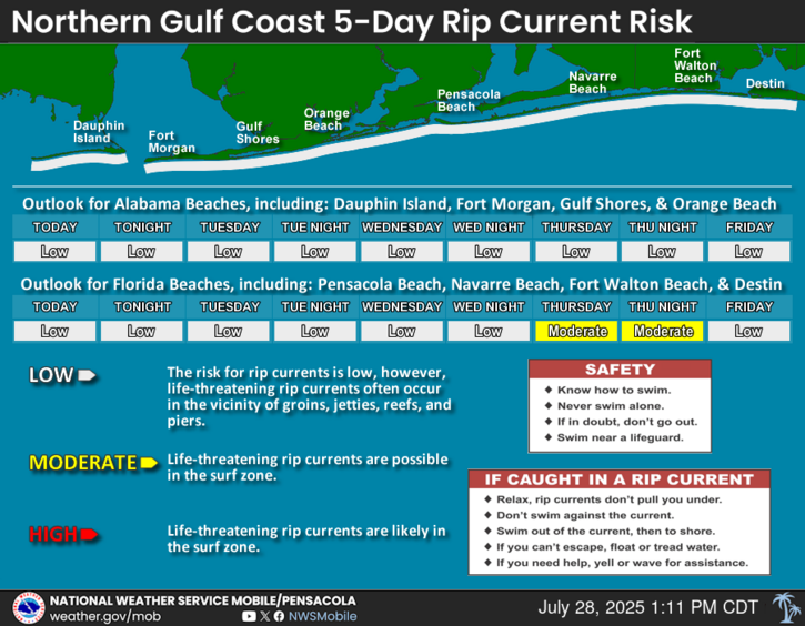
Hurricane Helene has become a Major Hurricane and is expected to continue strengthening while lifting across the eastern Gulf with a landfall anticipated along the Florida Big Bend area tonight or early Friday morning. Marine and coastal impacts including dangerously high surf, minor coastal flooding, deadly rip currents, and hazardous marine conditions (including strong winds and high waves) tonight into Friday. We will be monitoring for the potential of heavy rainfall that could impact portions of south central Alabama and the western Florida panhandle. Gusty northerly winds may also impact mainly south central Alabama, the western Florida panhandle and coastal areas Thursday given the large wind field associated with the system. Please continue to monitor the latest forecast for additional updates. For more information, go to our Facebook and Twitter pages or listen to NOAA Weather Radio.


 Local Radar
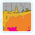
 Weather Map
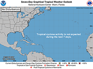 Tropical Weather
 Satellite Imagery
 Local Forecast Maps