Milwaukee/Sullivan, WI
Weather Forecast Office
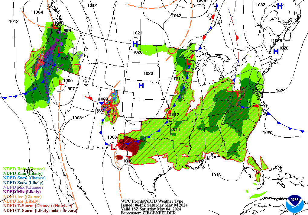
Deep low pressure located near Green Bay will further intensify as it tracks northeast toward Upper Michigan today. A tight pressure gradient over southern Wisconsin will result in very strong winds at times through the day.
Here is where this low pressure system will track today:
 |
 |
West to southwest winds will increase to 25 to 35 mph with gusts as high as 50 to 60 mph through this afternoon. Strong, gusty winds will also accompany any showers this afternoon. A High Wind Warning has been issued for all of southern Wisconsin today. The strongest winds are expected between 10 am and 5 pm today. Check this link for the Regional Weather Roundup which includes the latest hourly wind and gust speeds across Wisconsin.
Here is a graphic illustrating the wind gusts across southern Wisconsin around 2 pm this afternoon, around the time of the peak wind gusts:
.png) .
.
An easy way to check out the hourly wind forecast from the National Weather Service is by using the "Hourly Weather Forecast Graph" feature on our website. Here is the hourly wind and gust forecast for the Janesville area for the next 48 hours:
Click the above graph for a larger view
The strong winds today could result in minor tree damage and power outages. High profile vehicles will be buffeted and difficult to control at times.
Here is a link to a YouTube video briefing on todays strong winds from NWS Forecaster Marcia Cronce:
Kavinsky
National Weather Service
Hazards
National Briefing
Hazardous Weather Outlook
Skywarn
View Local Storm Reports
Submit A Storm Report
Winter Weather
Summer Weather
Beach Hazards
Local Forecasts
Marine
Aviation
Fire
Local Text Products
Local Precip Forecast
Hourly Forecast Graphics
Forecast Discussion
Climate
Normals/Records MKE/MSN
CoCoRaHS
Historic Events For Srn WI
Daily Climate Graphics
Local Climate Products
US Dept of Commerce
National Oceanic and Atmospheric Administration
National Weather Service
Milwaukee/Sullivan, WI
N3533 Hardscrabble Road
Dousman, WI 53118
262-965-2074
Comments? Questions? Please Contact Us.


