As a major Winter Storm affects large metropolitan areas in the east today and tonight, even southeast Wisconsin will feel some effect from the low pressure system causing the winter weather. Southeast Wisconsin will lie between the east coast low pressure and a ridge of high pressure over the northern plains and Lake Superior. Between these two weather systems, northeast winds will affect southeast Wisconsin through the day into this evening before weakening later tonight.

The northeast winds and cold air in place is resulting in snow showers over portions of southeast Wisconsin today, that will possibly continue into this evening. Despite an increasing ice cover over the near shore waters of Lake Michigan (as illustrated by the high resolution image below from January 19), plenty of open water exists toward mid-lake to contribute to developing snow showers.

Lakeshore areas from Sheboygan to Milwaukee and south through Racine, Wind Point, Kenosha and the Illinois stateline will see lake effect snow showers through the day, with some light snow showers or flurries as far inalnd as Washington, Waukesha, Jeffeson and Walworth counties. At this time, the snow showers are expected to be mostly light resulting in an inch or two in some locations, with the heavier amounts to fall from Milwaukee south to the Illinois border. The heaviest snow showers are expected to occur between now and 3 pm CST.
Here is the latest radar loop of southeast Wisconsin and southern Lake Michigan showing the location and movement of the snow showers:
Lake Effect Snow (LES) is very common across the Great Lakes during the late fall and winter. LES occurs when cold air, often originating in Canada, moves across the open waters of the Great Lakes. As the cold air passes over the unfrozen, and relatively warmer waters of the Great Lakes, warmth and moisture are transferred into the lower portion of the atmosphere. The air becomes warmer and less dense than the over-riding cold air, so it rises. The rising air ultimately leads to clouds and snow, most frequently on the leeward sides of the Great Lakes.

Thanks to NWS - Gaylord for above image
The prodominant wind direction during the winter is from the northwest. Hence LES does not affect the western shore of Lake Michigan very often. Perhaps LES events affect the western shore of Lake Michigan including southeast Wisconsin 3-6 times during a typical winter.
LES typically takes the form of discrete, narrow bands. These bands are often characterized by intense snowfall and limited visibility. One unique aspect of LES is the extreme variability that can occur in space and time. It is not uncommon for sunny skies to be quickly replaced by wind-driven snow in a matter of minutes. Snowfall accumulations can vary from a trace to several inches over a short distance.
A few meteorological factors that impace LES include air temperature, instability (approximated by the difference between the lake surface temperature and air temperature), cold air depth, relative humidity depth, large-scale lift and winds. The physical geography of the land and water is also important, including fetch length, elevation and shore-line orientation.
One of the more challenging aspects of forecasting LES is pinpointing where the heaviest snow will occur. Even small changes in wind direction can significantly change the areas impacted.
The snow showers are expected to begin to affect southeast Wisconsin Friday morning. The cold temperatures and snow will likely result in slippery spots developing on roads and walks, especially from Milwaukee south to Racine and Kenosha.
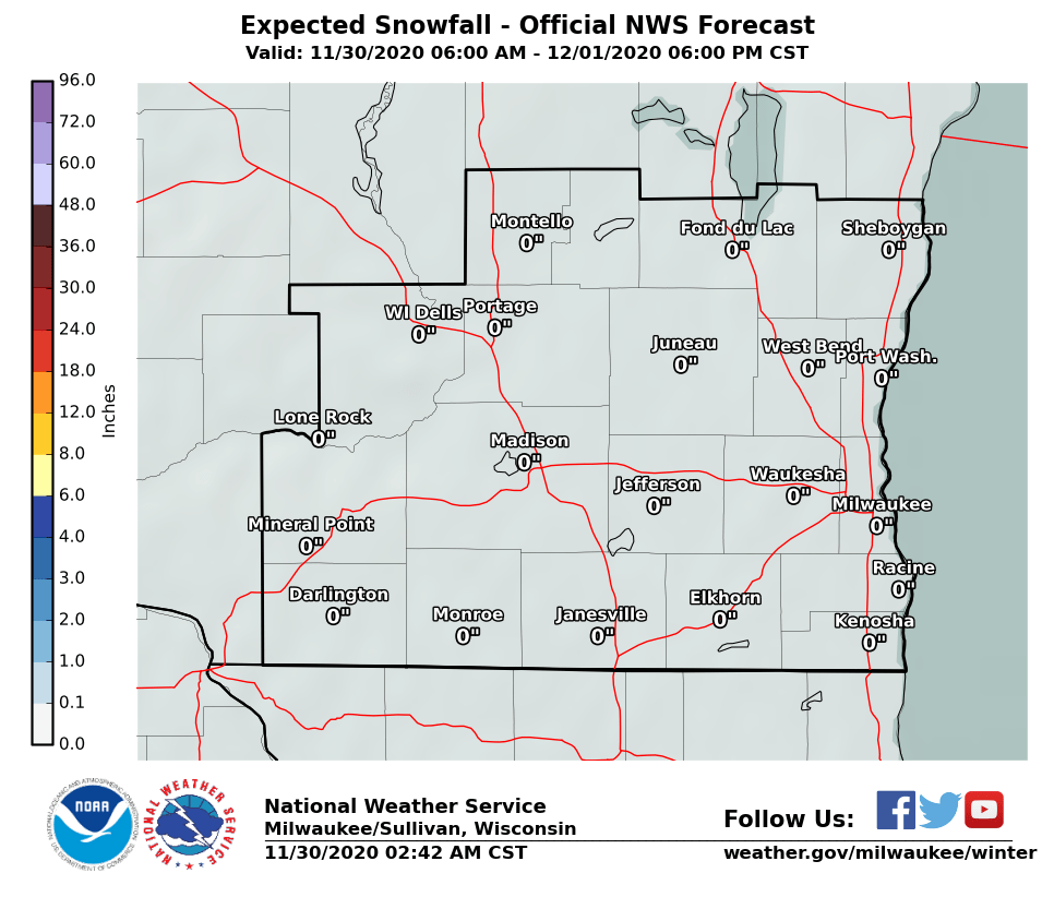
Here is the latest snowfall forecast for southeast Wisconsin through 6 pm Saturday (most of the LES will occur today):
 |
Kavinsky
National Weather Service - Milwaukee/Sullivan