Overview
|
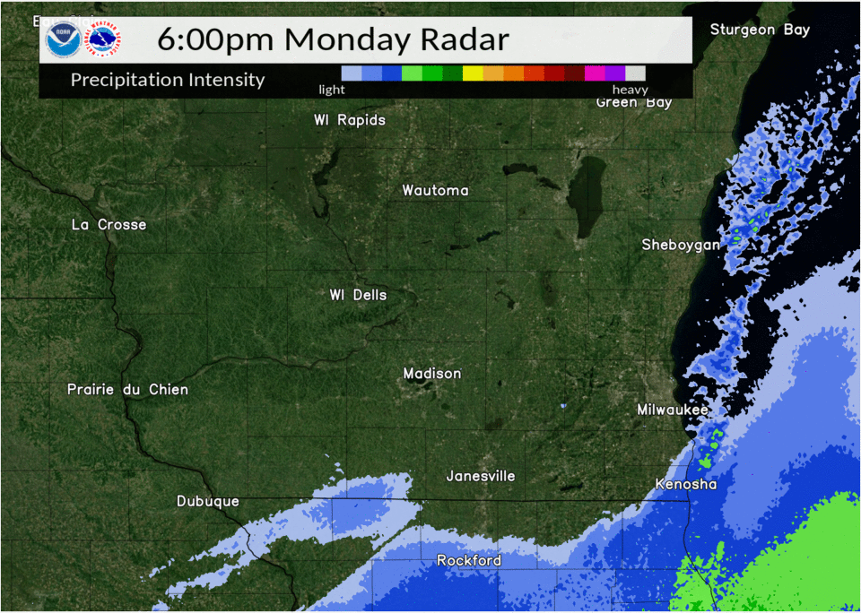
A heavy lake effect snowfall band moved into southeastern Wisconsin late Monday evening. The lake effect snowfall continued through Monday afternoon before the band shifted eastward out over Lake Michigan. The highest snowfall totals from this event occurred along the southeastern lakeshore counties (Kenosha, Racine and Milwaukee Counties) where the lake effect banding was most persistent. Snowfall totals within this area ranged from 10 to 16 inches along the lakeshore. There was a sharp cut off to the snowfall totals with locations north of Milwaukee and west of Interstate 41 reporting snowfall totals that ranged from 1 to 4 inches. |
 |
Snow/Ice
Thank you to everyone who provided snowfall reports during and after the event!

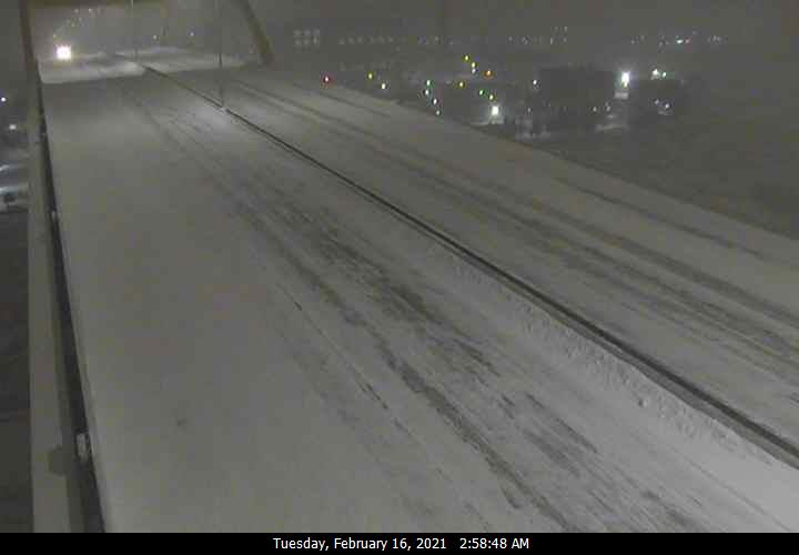
Photos & Video
Click images below to view in a larger format.
|
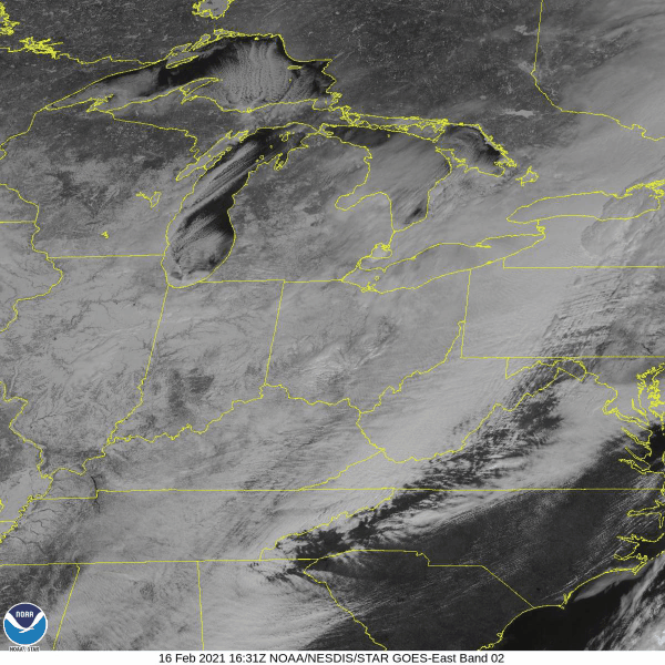
Loop of radar data from across the region showing the continued lake effect snow banding over the lakeshore counties. |
The official snowfall amount measured at Mitchell International Airport was 9.6 inches. A new daily snowfall record was set on February 16th of 5.9 inches of snowfall for Milwaukee. |
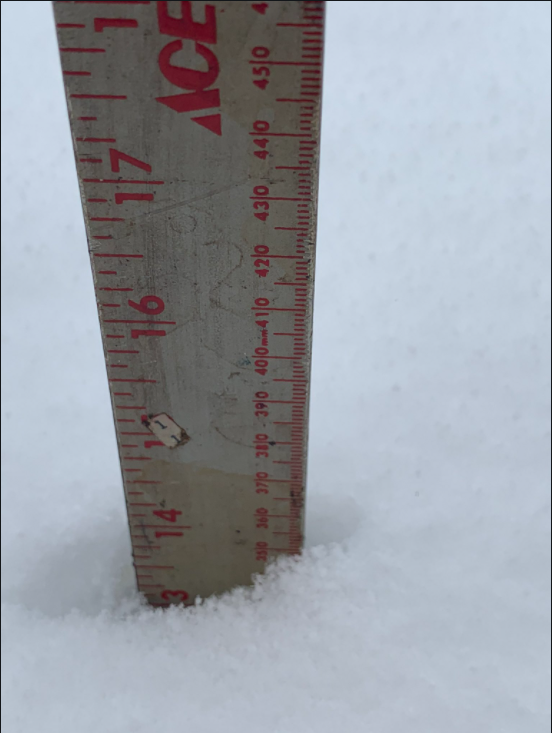
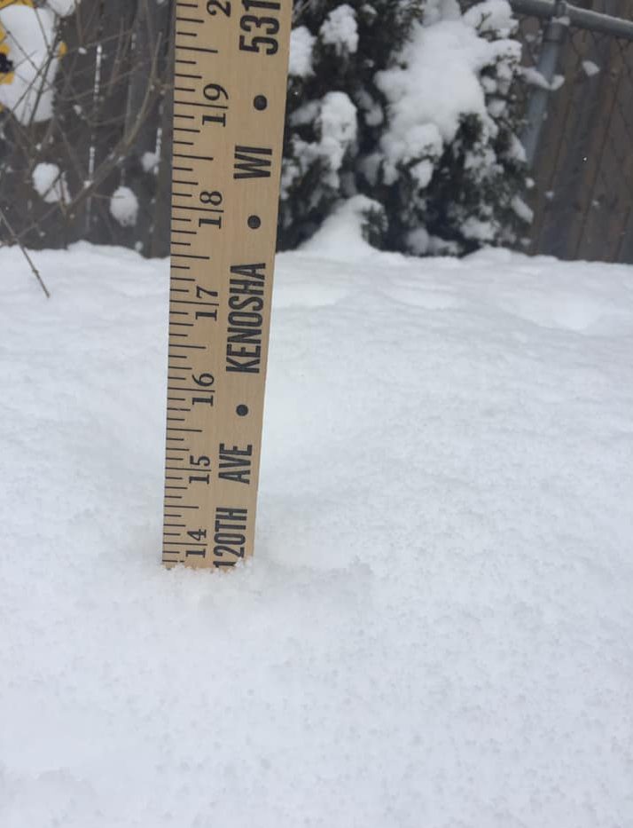
About 14 inches of snow, as of 12:33 p.m. on the west side of Kenosha. (Near Kenosha Regional Airport) |
About 11 inches of snow, as of 9:30 a.m. in Caledonia. |
|
Thanks to @mdesisti for the great photo of using their snow blower in Wauwatosa after the snowfall ended. |
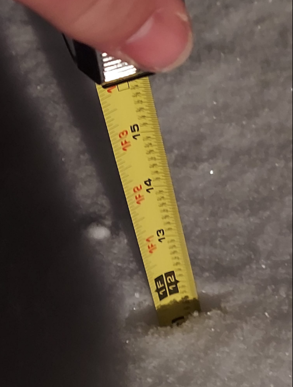
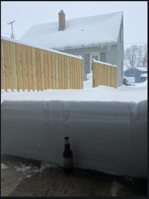
Thanks to @oppsspot for getting creative while measuring the snowfall in Wisconsin. |
About 14 inches of snow, as of 1:02 p.m. on the north side of Racine. |
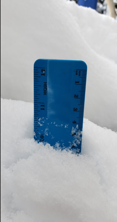
About 10 inches of snow, as of 12:28 p.m. about 2 miles SW of Kenosha. |
 |
Media use of NWS Web News Stories is encouraged! Please acknowledge the NWS as the source of any news information accessed from this site. |
|