Although March is finishing up with near seasonal temperatures for the month, the first half of April is looking cold with below normal temperatures. A persistent area of cold air will remain over central and southern Canada the next several weeks. The steering level winds will occasionally turn to the north across the Great Lakes and upper Midwest which will usher the cold air farther south into our region.

These surges of cold air will result in daytime temperatures remaining in the 30's and 40's through next week, most likely continuing into the week of April 8th. The persistent cold air will result in greater chances of mixed precipitation. Also, you can expect frequent temperatures below freezing during the overnight hours.
The Climate Prediction Center 6 to 10 day outlook from April 4th through April 8th is showing a high likelihood for below normal temperatures across Wisconsin and the Great Lakes.

The CPC outlook for the three to four week period from April 7th to April 20th also continues to show a high likelihood for the colder than normal temperatures to linger through mid-April.

How do you know when spring has actually begun? One measure is the appearance of the first tiny leaves on trees, or the first crocus plants. The recent, prolonged cool weather has postponed any budding or blooming across most of southern Wisconsin.
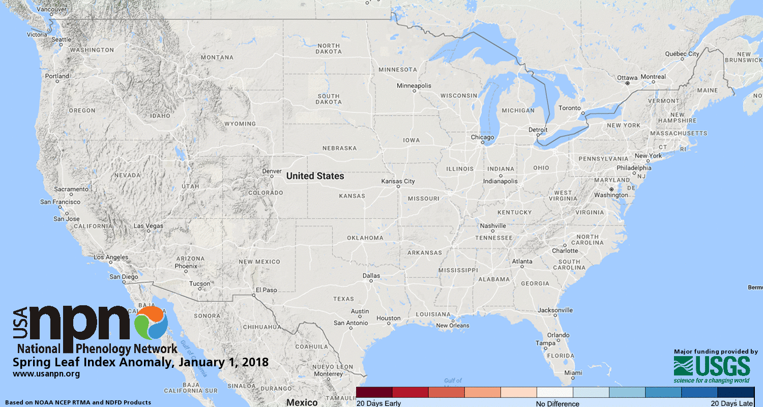
To check where spring has begun in the U.S., you can check the First Leaf and First Bloom Indices from the National Phenology Network.
| Latest First Leaf Index | Latest First Bloom Index |
 |
 |
Despite the calendar page turning to April, it will be a good idea to hold off on purchasing any spring plantings.
MBK
National Weather Service - Milwaukee/Sullivan

