Milwaukee/Sullivan, WI
Weather Forecast Office
Overview
|
South winds will continue to bring warm and humid conditions into southern Wisconsin today. The probabilities are increasing for a round of heavy rain as low pressure crosses the region today into tonight. A Flash Flood Watch is in effect for all but the far northwest portion of the forecast area today, and the eastern half into this evening.
Wood, Herzog, Miller |
 |
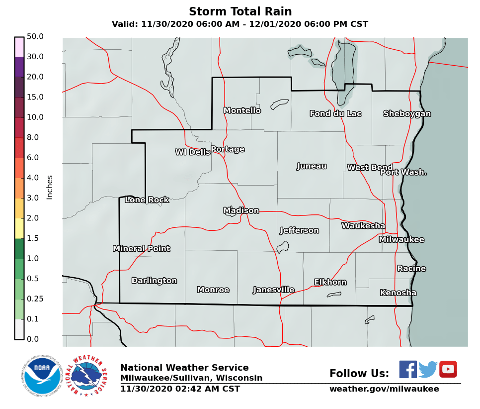
Rainfall
 |
 |
| Today & Tonight Rainfall Totals | Today & Tonight Rainfall Totals |
Radar
 |
 |
 |
| Local Radar | Regional Radar - West View | Regional Radar - East View |
Thunderstorm Risk
Low pressure and a cold front is expected to slide southeastward across the region today. The front will interact with the warm and humid air mass to bring a round of showers and thunderstorms to the region during this time. The most favorable time for this activity will be later this afternoon, as the low and cold front moves through the region. Showers and a few thunderstorms are likely during this period.
The marginal severe weather risk previously in place from Storm Prediction Center has been removed for southern Wisconsin.
 |
||
| Day 1 (Today and Tonight) |
Watches, Warnings & Advisories
 |
 |
Media use of NWS Web News Stories is encouraged! Please acknowledge the NWS as the source of any news information accessed from this site. |
|
Hazards
National Briefing
Hazardous Weather Outlook
Skywarn
View Local Storm Reports
Submit A Storm Report
Winter Weather
Summer Weather
Beach Hazards
Local Forecasts
Marine
Aviation
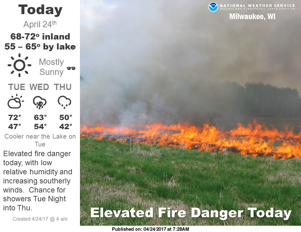
Fire
Local Text Products
Local Precip Forecast
Hourly Forecast Graphics
Forecast Discussion
Climate
Historic Events For Srn WI
Daily Climate Graphics
Local Climate Products
Normals/Records MKE/MSN
CoCoRaHS
US Dept of Commerce
National Oceanic and Atmospheric Administration
National Weather Service
Milwaukee/Sullivan, WI
N3533 Hardscrabble Road
Dousman, WI 53118
262-965-2074
Comments? Questions? Please Contact Us.

