|
|
 |
National Weather Service Newport/Morehead City, NC Hydrology/Flooding Briefing Page |
 |
| RAINFALL FORECASTS AND GUIDANCE (Click on Graphic to Expand) |
|
Day One QPF
|
Day Two QPF
|
Day Three QPF
|
|
Probability of Heavy Rain
|
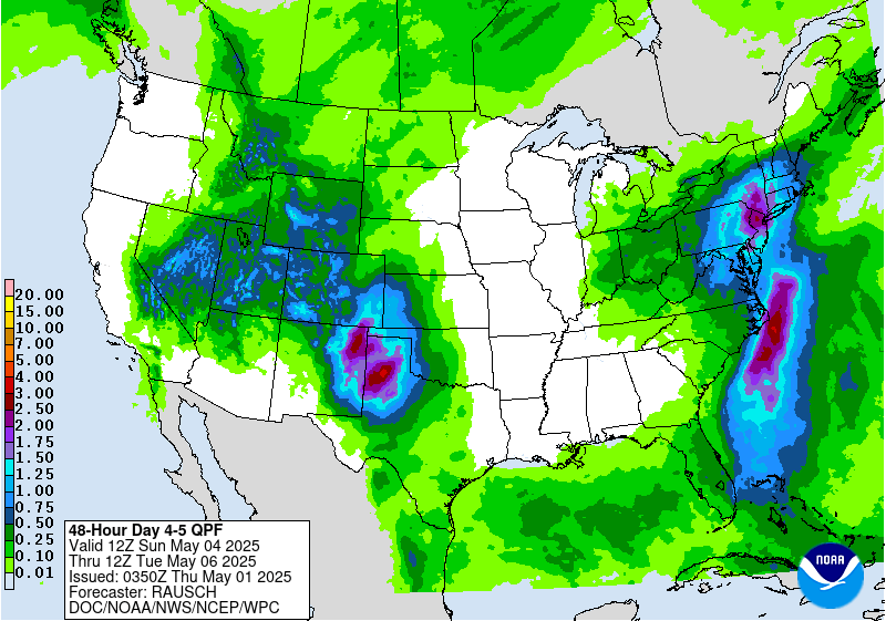
Days 4 and 5 QPF
|
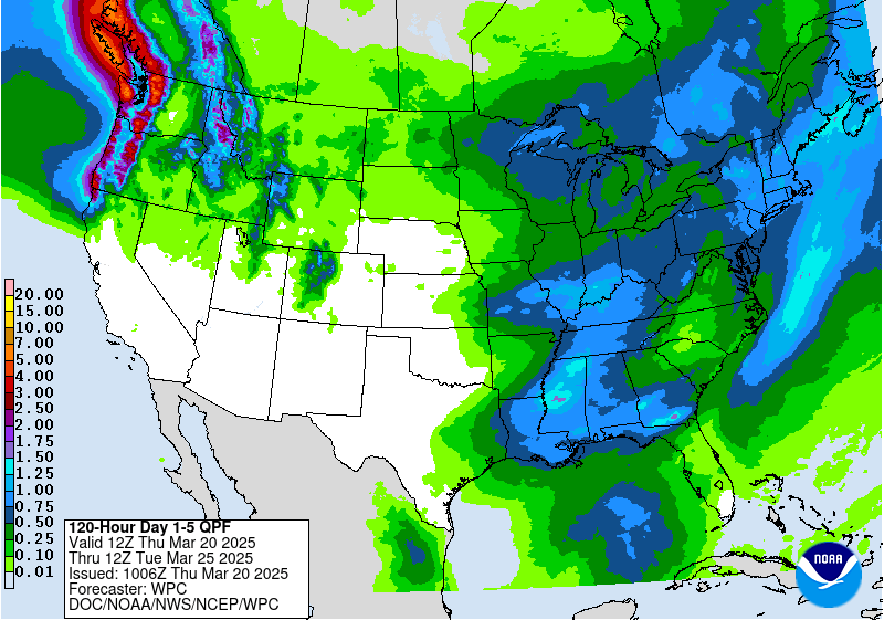
Day 1 to 5 QPF
|
|
Eastern IR Satellite
|
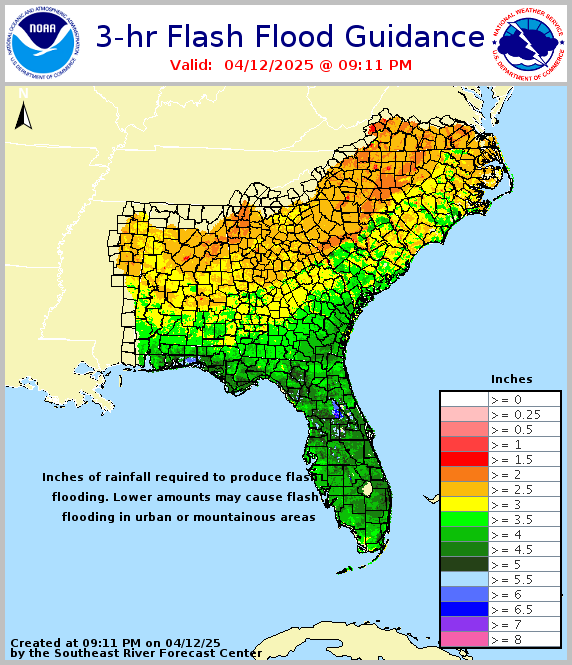
3-Hour Flash Flood Guidance
|
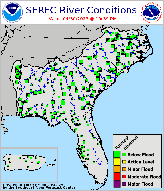
River Conditions
|
| OBSERVED PRECIPITATION (Click on Graphic to Expand) |
|
Observed 24 Hour Precipitation
|
Snow Cover
|
Cocorahs Precipitation
|
| SITUATIONAL AWARENESS GRAPHICS (Click on Graphic to Expand) |
|
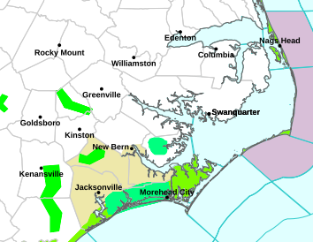
Area WWA Map
|
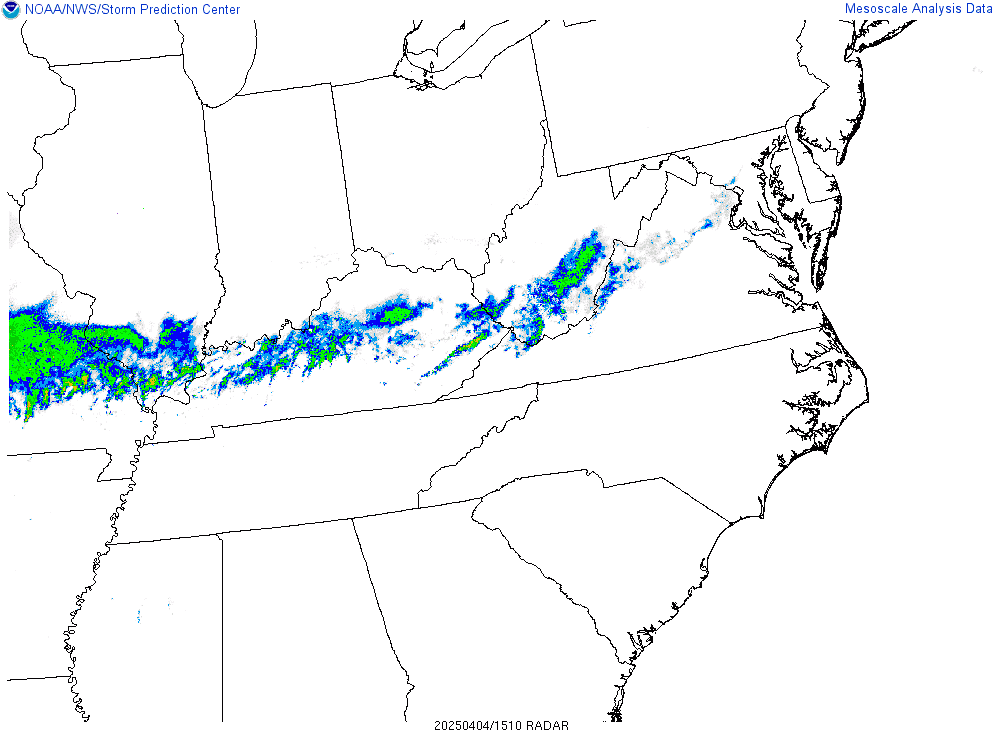
Regional Radar
|
Visible Satellite
|
|
Eastern Visible Satellite
|
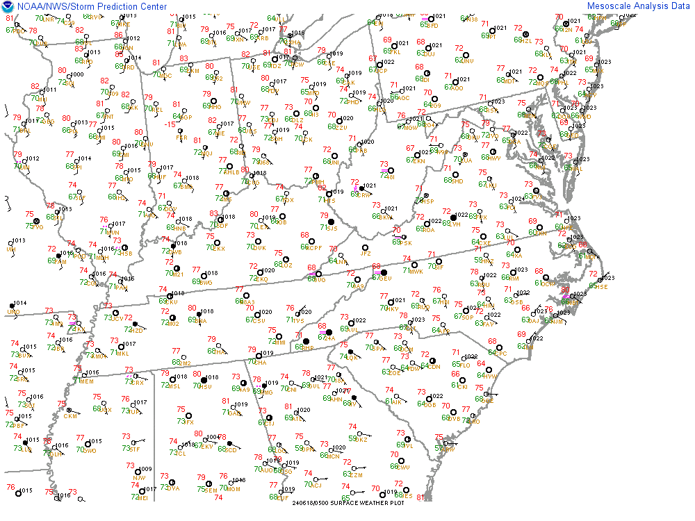
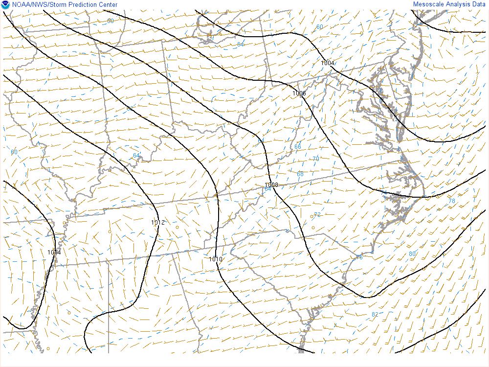
Regional Surface Observations
|
Precipitable Water
|
|
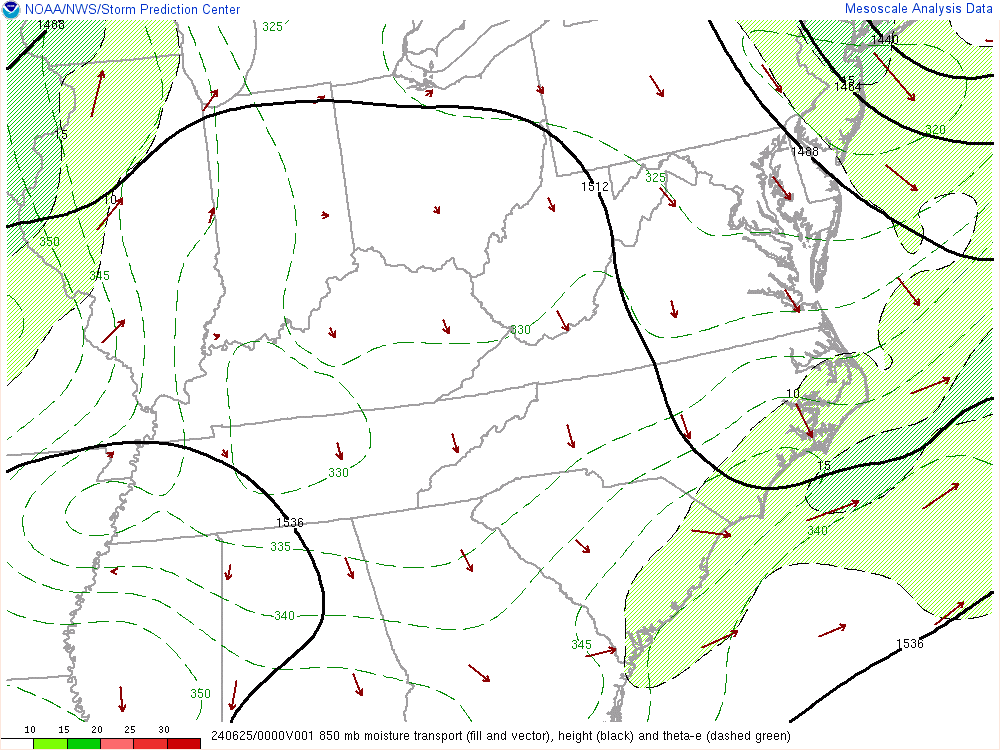
850 MB Moisture Transport
|
Surface Frontogenesis
|
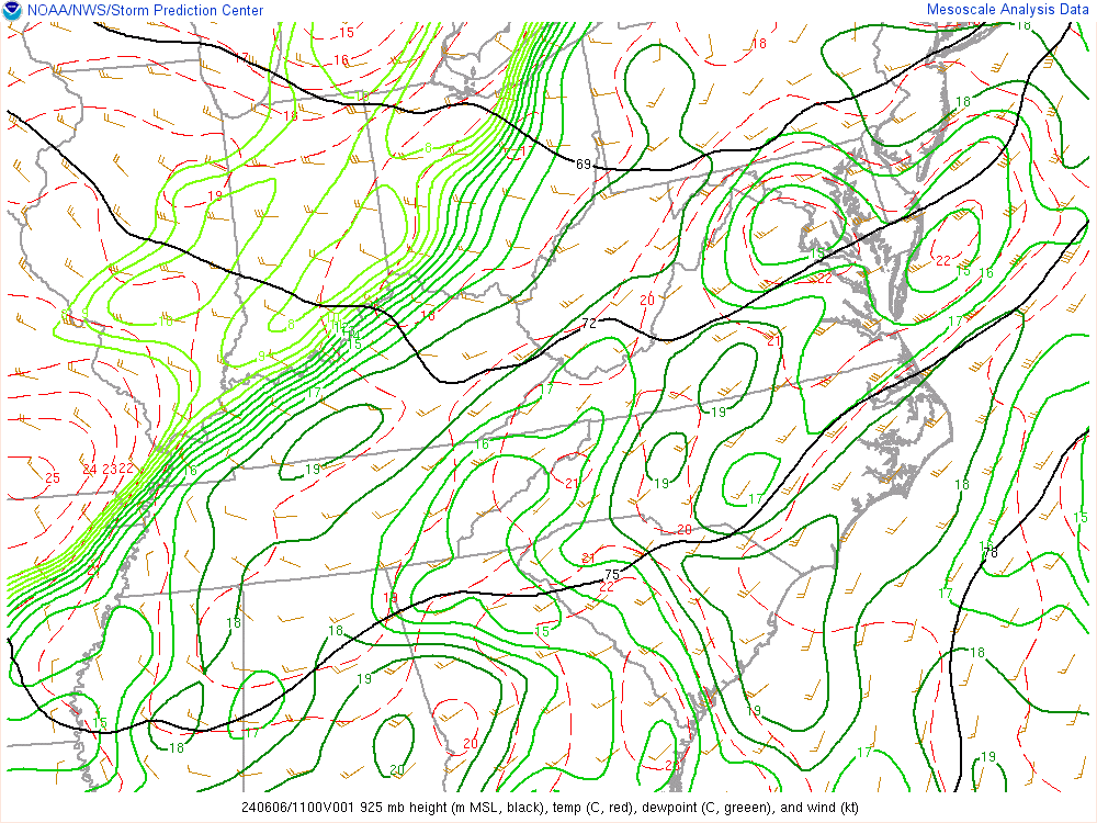
925 MB Analysis
|
|
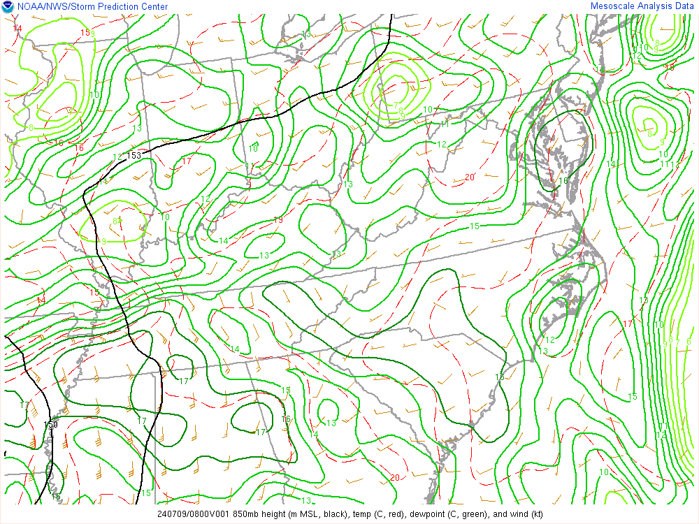
850 MB Analysis
|
850 MB Temperature Advection
|
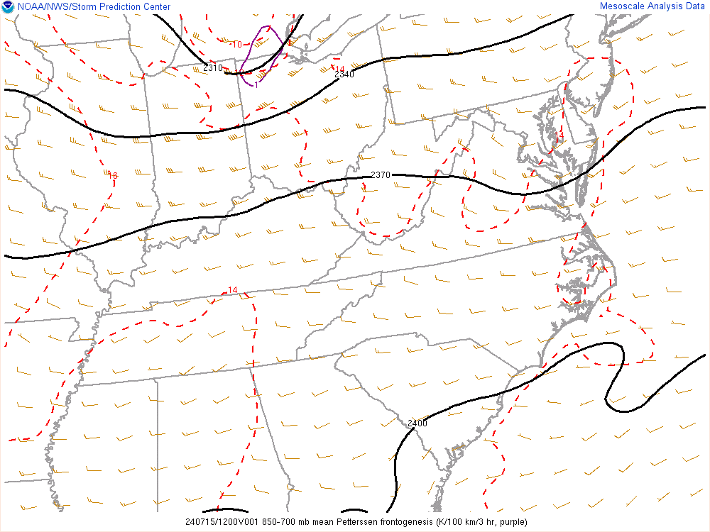
850-700 MB Frontogenesis
|
|
700 MB Analysis
|
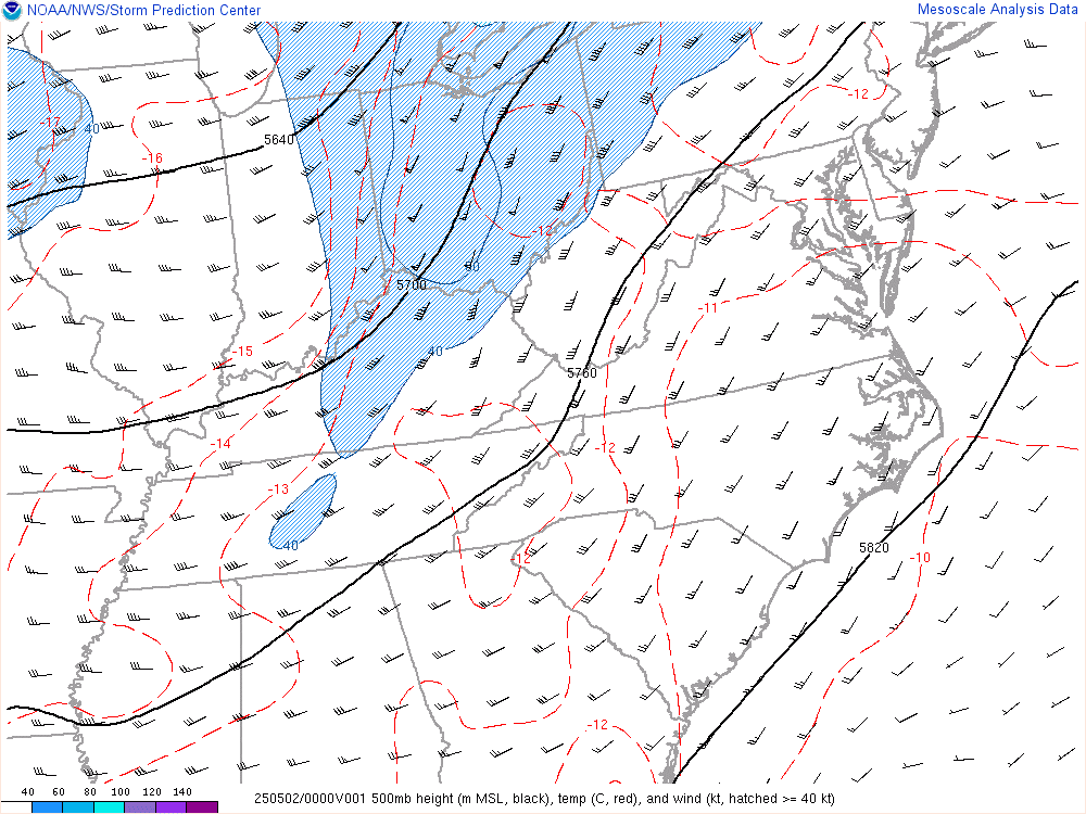
500 MB Analysis
|
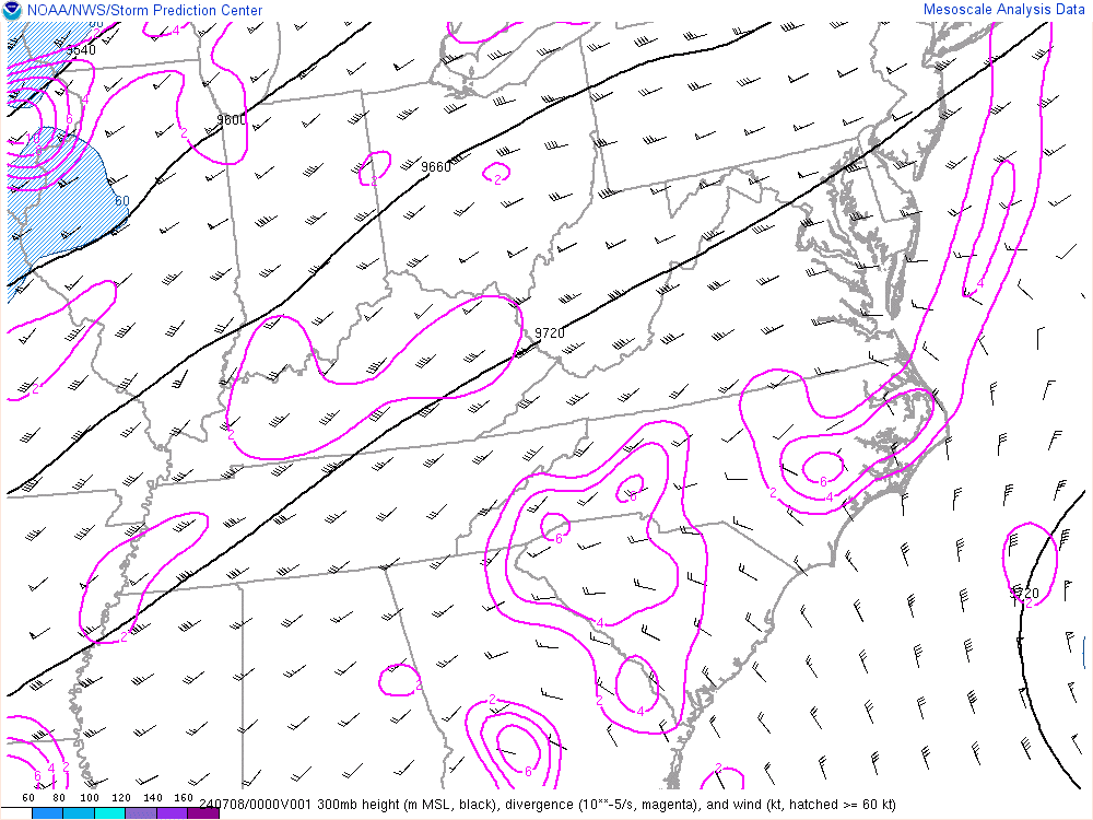
300 MB Analysis
|
|
SOUNDINGS (Click on Graphic to Expand) |
|
Charleston
|
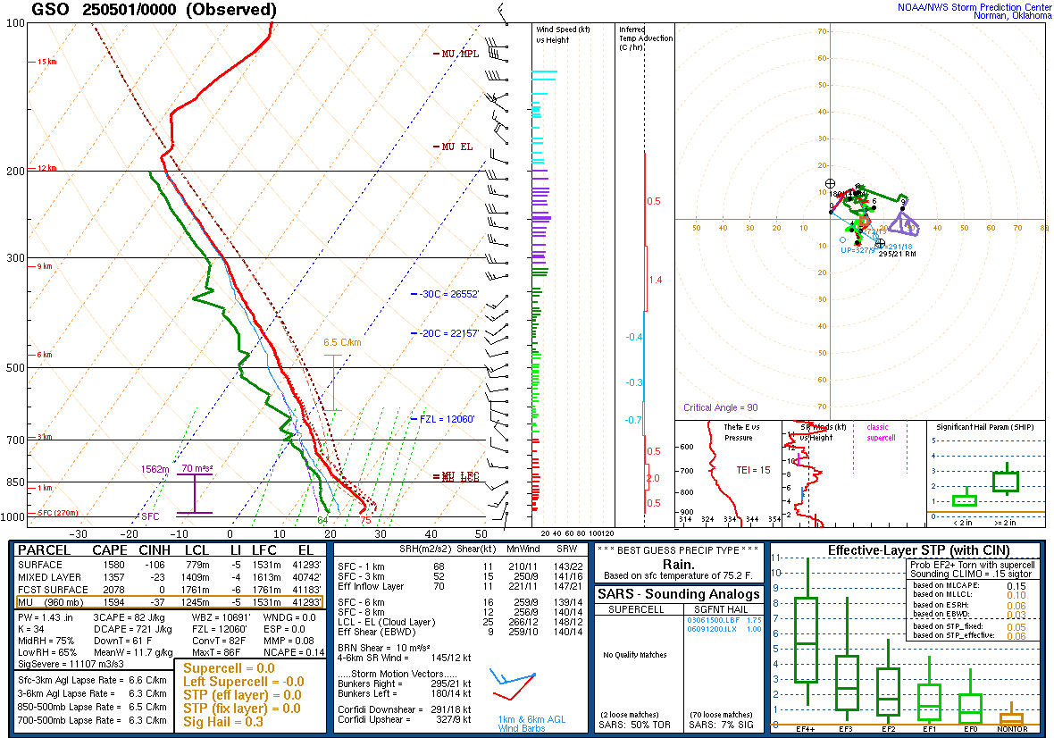
Greensboro
|
Morehead City
|
| COASTAL FLOOD GRAPHICS (Click on Graphic to Expand) |
|
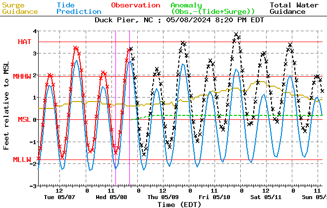
Duck Tidal Surge
|
Beaufort Tidal Surge
|
Hatteras Tidal Surge
|


 Map View
 Weather Hazard Briefing (when applicable)
 Forecaster Discussion
 Marine
 Text Products
.png) Skywarn
Skywarn Submit Storm Reports
 Coastal Flood
.png) Surf Forecast/Rip Currents
Surf Forecast/Rip Currents