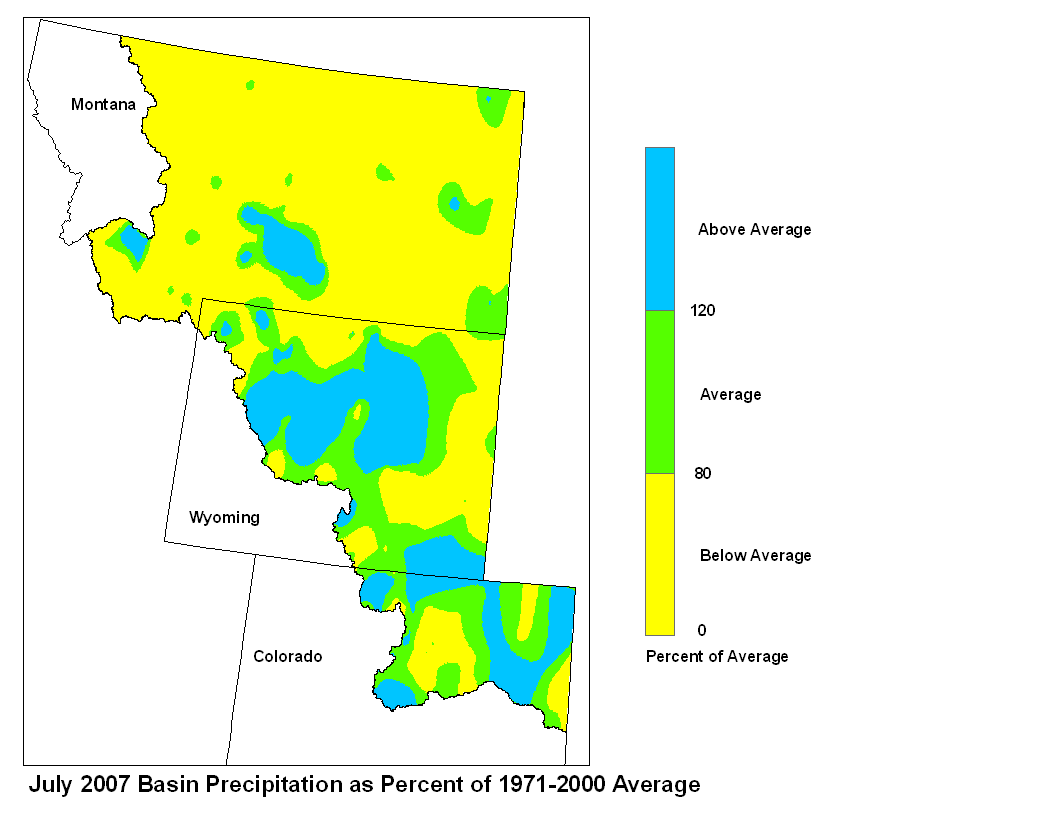
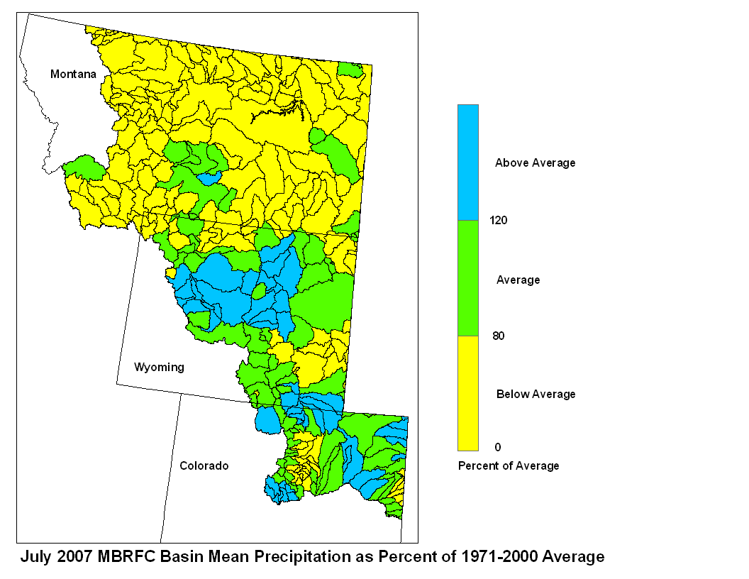
Precipitation in the Missouri Basin was highly variable during July.
Most of the Montana received below average rain while Colorado and
Wyoming reported average to above average rainfall. Streamflow data
indicates the flows for July were below average.
Precipitation in Montana below average with amounts ranging from a trace
or less at Augusta, Cut Bank 34NW, and Sweetgrass, Montana; to 277
percent of average (4.74 in.) Rapelje, Montana. Precipitation in
Wyoming was average to above average. Reports ranged from 19 percent of
average (0.19 in.) at Powell 23NW, Wyoming to 189 percent of average
(3.18 in.) at Riverton 1SW, Wyoming. Precipitation in northeastern
Colorado was average, with reports ranging from 36 percent of average
(1.01 in.) at Burlington 4S to 192 percent of average (4.40 in.) at
Lake George 8SW, Colorado.
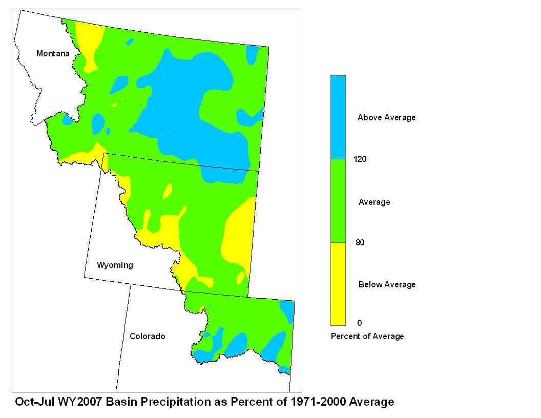
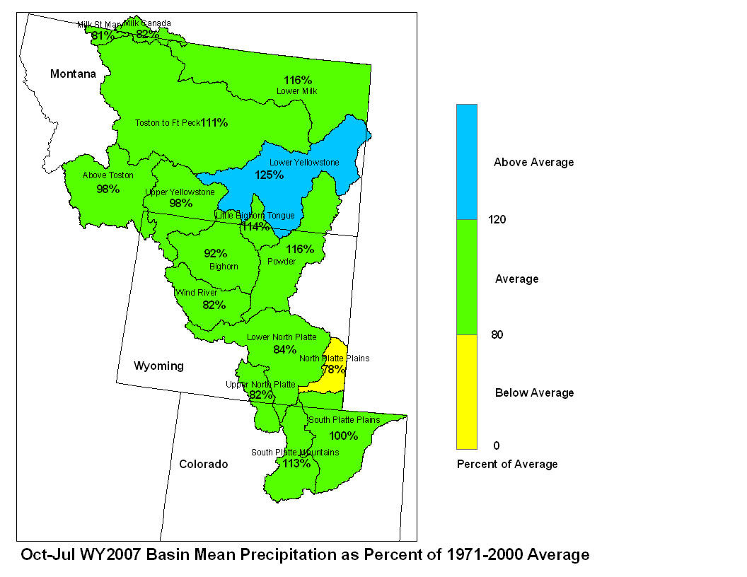
Basin precipitation summaries for the Missouri Basin:
Basin Average Precipitation
Milk St. Mary 15%
Milk Canada 7%
Above Toston 61%
Toston to Ft. Peck 43%
Lower Milk 43%
Upper Yellowstone 82%
Wind River 166%
Bighorn 101%
Little Bighorn Tongue 67%
Powder 107%
Lower Yellowstone 52%
Upper North Platte 100%
Lower North Platte 96%
North Platte Plains 86%
South Platte Mountains 103%
South Platte Plains 110%

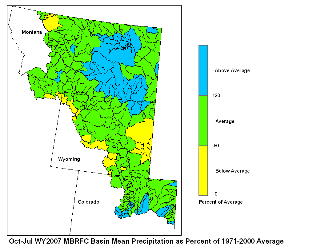
July 2007 Basin Mean Precipitation
Stored water in the South Platte Basin as of August 1 was 91
percent of average for this time of the year. Stored water in the
North Platte Basin was 46 percent of average. Stored water in Boysen
Reservoir was 55 percent of the 30 year average. Buffalo Bill
Reservoir held 98 percent of average storage. Of the four
major irrigation reservoirs in Montana, Lima Reservoir had 47 percent
average storage; Clark Canyon was holding 50 percent of average water,
Gibson Reservoir had 19 percent of average stored water and Fresno
Reservoir had 103 percent of average stored water. Of the three major
hydroelectric reservoirs in Montana, Canyon Ferry and Fort Peck had
monthend storage in the average range; 95 and 56 percent of average water,
respectively. Bighorn lake was holding 97 percent of average
stored water.
Runoff during July, as indicated by U.S. Geological Survey longterm gaging stations,
was much below average. The Marias River near
Shelby, Montana had 18 percent of average runoff. The Yellowstone
River was estimated to have had 40 percent of average runoff at
Corwin Springs, while at Billings, Montana runoff was 28 percent of
average.