Moderate to heavy mountain snow and strong winds are expected across the Northern Rockies. Lake effect snow will continue downwind of the Lower Great Lakes. Gusty winds and dry conditions will result in critical fire weather conditions in the Southwest and Southern Plains Wednesday through Friday. Extremely critical fire weather conditions are expected Thursday in portions of New Mexico. Read More >
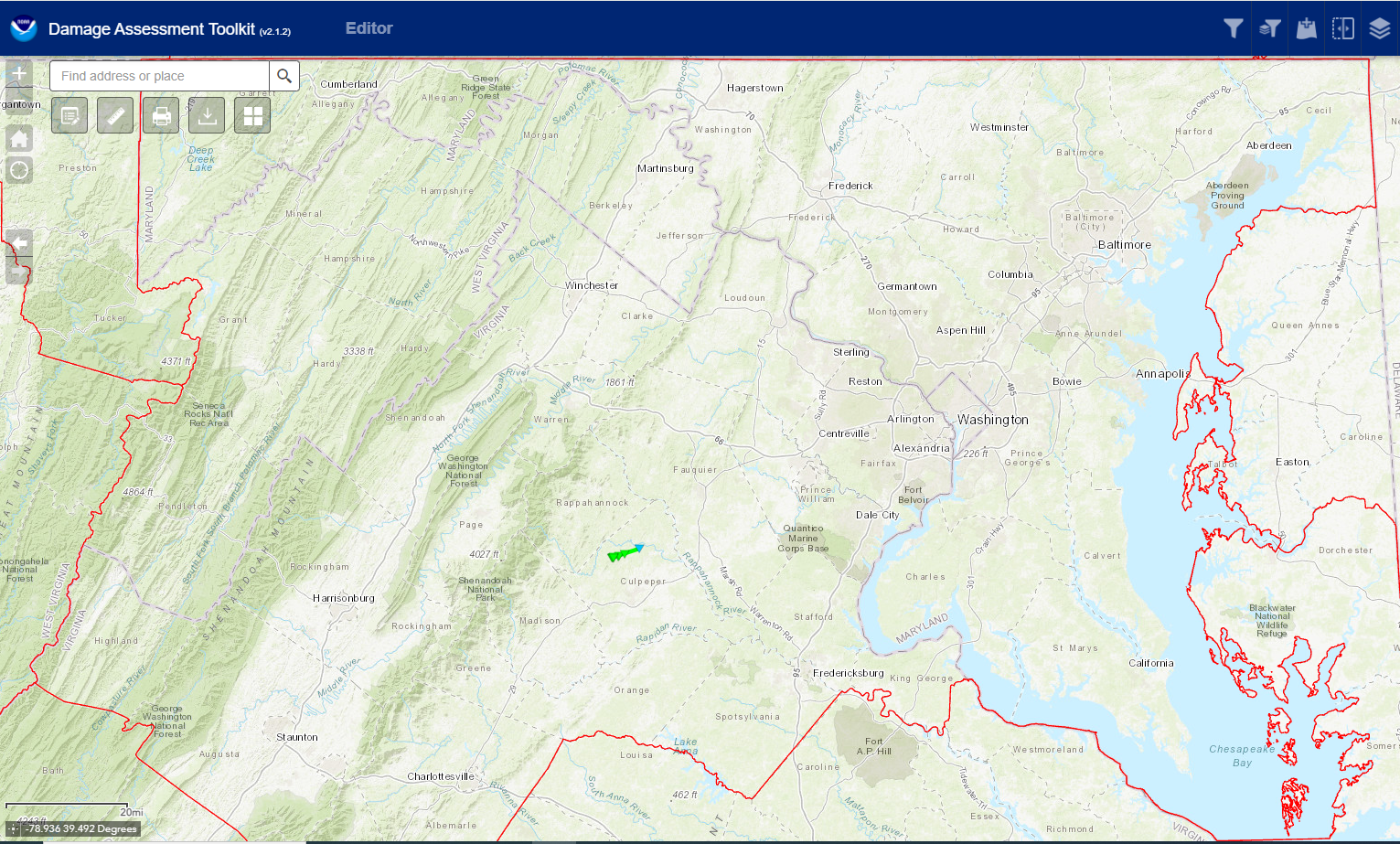
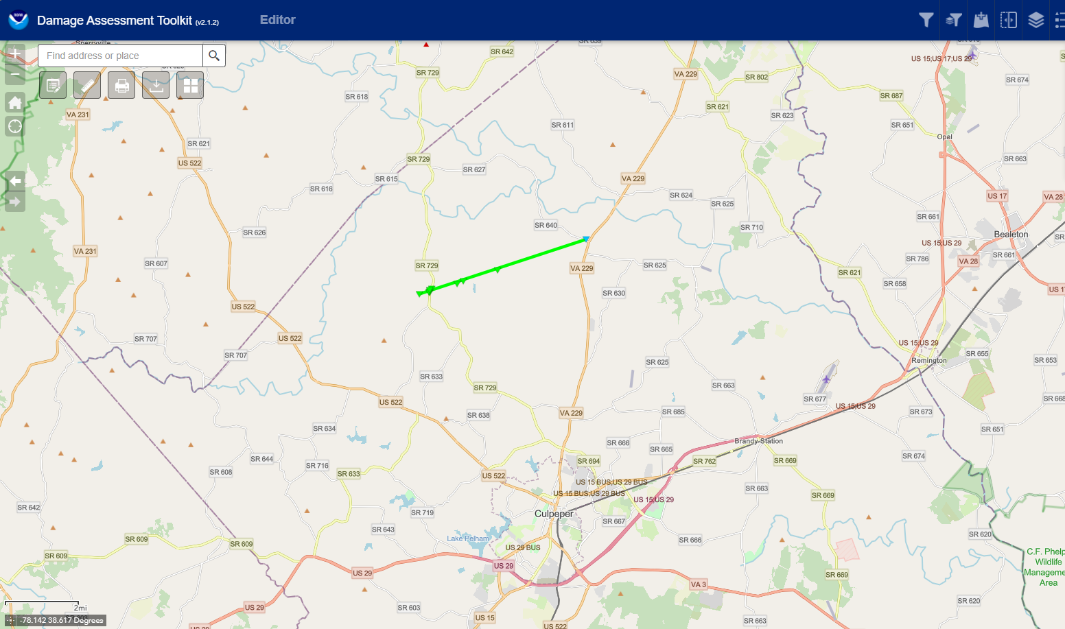
Three maps of the affected area, with the full report below...


Public Information Statement
National Weather Service Baltimore MD/Washington DC
645 PM EDT Mon May 27 2024

...NWS Damage Survey for 5/26/24 Rixeyville Virginia Tornado...

.Rixeyville Tornado...

Rating:                    EF-1
Estimated Peak Wind:       95 mph
Path Length /statute/:     4.8 miles
Path Width /maximum/:      100 yards
Fatalities:                0
Injuries:                  5

Start Date:                05/26/2024
Start Time:                09:27 PM EDT
Start Location:            5 WSW Rixeyville / Culpeper County / VA
Start Lat/Lon:             38.5593 / -78.0636

End Date:                  05/26/2024
End Time:                  09:35 PM EDT
End Location:              Rixeyville / Culpeper County / VA
End Lat/Lon:               38.5807 / -77.9800

Survey Summary:
The National Weather Service conducted a ground survey of storm
damage in the Rixeyville area that occurred on Sunday night, May
26, 2024. NWS Doppler Weather Radar in Sterling, Virginia showed a
rotating severe thunderstorm that developed a tornado. The
National Weather Service issued a Tornado Warning for the affected
area at 9:14 PM EDT, in advance of the tornado. Radar also showed
a tornado damage signature due to lofted debris from the tornado
as it was occurring. The tornado touched down along Dunkard
Church Road, a third of a mile west of Eggbornsville Road in
rural, northwest Culpeper County. Several trees were snapped and
uprooted in multiple directions. The tornado proceeded east-
northeast and crossed Eggbornsville Road. In this area two dozen
trees were noted to be snapped and uprooted in multiple
directions. The tornado passed over several homes and a church,
but no structural damage was noted to these. The winds picked up
and overturned a large shed with five occupants; these people were
injured when the shed overturned due to the strong winds. Another
smaller shed was also overturned. A resident reported seeing the
funnel touch down to the west of the road. Another resident
reported receiving the Tornado Warning in advance over the cell
phone Wireless Emergency Alerts. A drone video showed a path of
damage that was approximately 100 yards wide.

The tornado continued east-northeast, snapping and uprooting at
least a dozen large trees along Settle School Road as it
traversed a stretch of that road between Tolivers Forest Lane and
Spring Hollow Lane. Several trees were snapped down as it crossed
Dutch Hollow Road. Tree damage continued to be in multiple
directions, including opposite the storm motion. The tornado
proceeded another two miles, but did not cross another road until
the final property where damage was noted. In the 9000 block of
Monumental Mills Road, a two foot diameter branch of a large beech
tree was snapped off, along with smaller tree damage from a
southeast wind. That was the last damage noted, and there was no
damage seen just east along Rixeyville Road.

The National Weather Service would like to thank Culpeper County
Department of Emergency Services for their support in conducting
this survey, and providing storm damage reports to the National
Weather Service the night of the tornado.

&&

EF Scale: The Enhanced Fujita Scale classifies tornadoes into the
following categories:

EF0.....65 to 85 mph
EF1.....86 to 110 mph
EF2.....111 to 135 mph
EF3.....136 to 165 mph
EF4.....166 to 200 mph
EF5.....>200 mph

NOTE:
The information in this statement is preliminary and subject to
change pending final review of the event and publication in
NWS Storm Data.