
Strong to severe thunderstorms capable of producing large to very large hail, damaging wind gusts and a few strong tornadoes are likely from the Midwest to the Mid-Atlantic tonight. Moderate Risk (level 4 of 5) of severe thunderstorms is outlooked for the Midwest. A widespread heat wave will peak in the South and East on Friday, with many temperature records expected to be broken. Read More >


Links:
|
Partner Exhibit Information
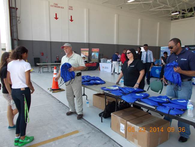
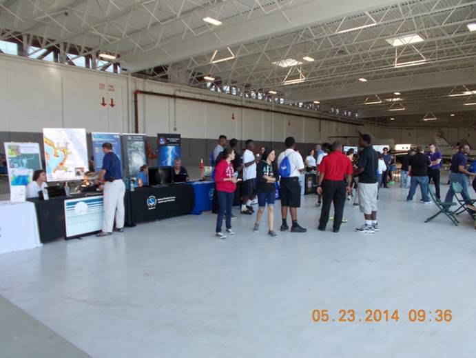
NWS public safety, preparedness, and response partners: If you are interested in participating with us in this important hurricane preparedness event by hosting a partner outreach exhibit or booth, please let us know. You would be required to bring everything you need, including any tables or chairs. For more information about registering for a partner's exhibit, please contact Chris Strong at the NWS Baltimore/Washington Forecast Office. The event runs from 9:30 AM until 5 PM on Tuesday, May 9, 2017. The booth or exhibit setup time will be from 8 AM until 9:30 AM. |


 Coastal Flood
 FAQ
FAQ